
Quick report
I took a trip up to the weather station at the summit of WMR. The precip bucket is frozen, so don't expect accurate readings.
- Snowfall was steady throughout the morning and intensified as the day went on. New snow accumulations added up to roughly 2 to 3 inches by 1 PM.
- I found a couple of different weak layers buried in the snowpack. These may become problematic if this incoming storm produces the forecasted snow totals.
- Coverage and ski quality are improving.
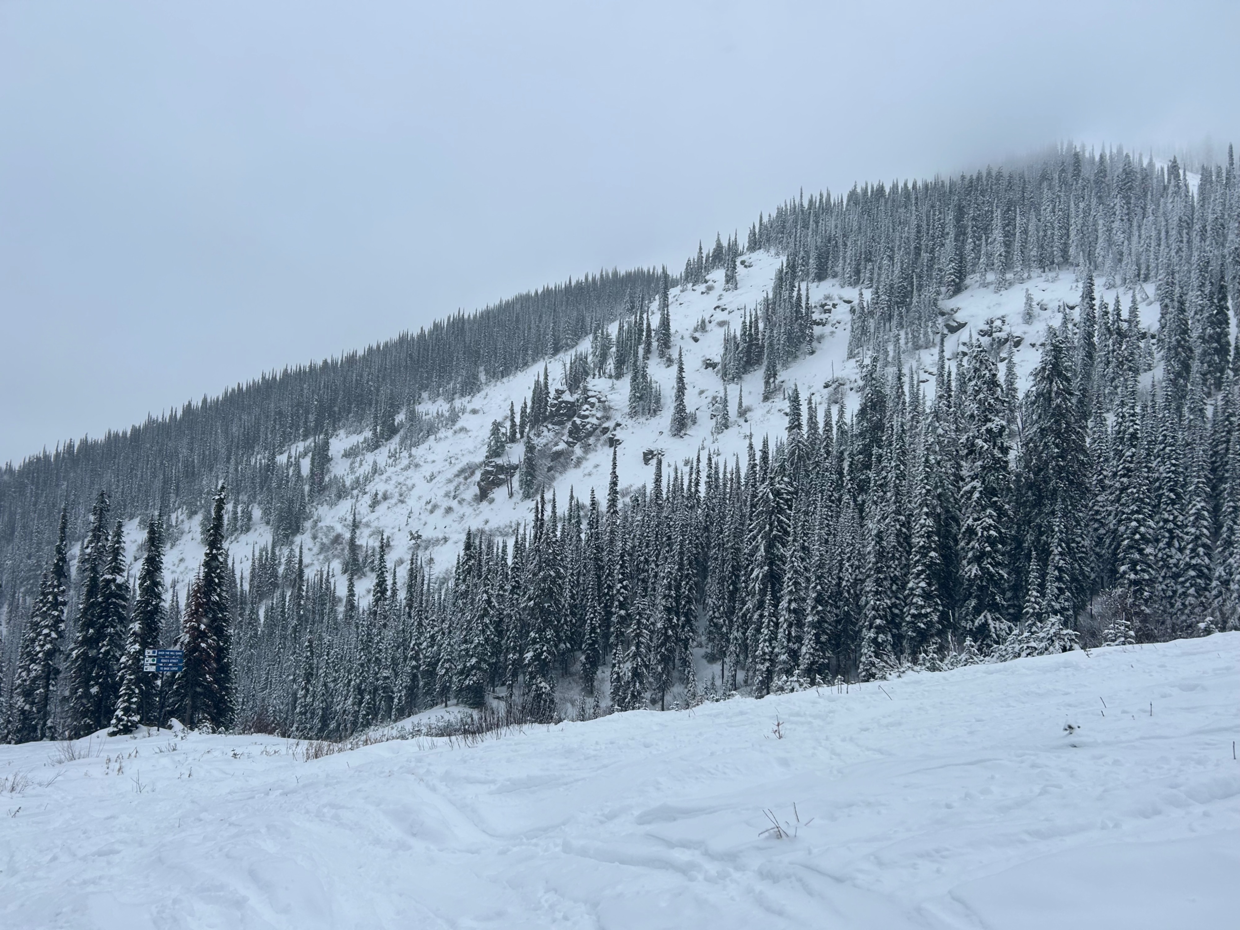
** Remember, WMR has NOT conducted avalanche mitigation so far this season. The snowpack in-bounds is a backcountry snowpack. Treat slopes the same as you would in the backcountry, and please give workers distance so they can get their jobs done.
Weather
- Air Temp
- Below Freezing
- Cloud Cover
- overcast
- Wind Loading
- light
- Recent Snowfall
- 8
- Snow Avail For Transport
- moderate amounts
Light to moderate snowfall throughout the day. Precipitation rates picked up throughout the morning.
Snowpack
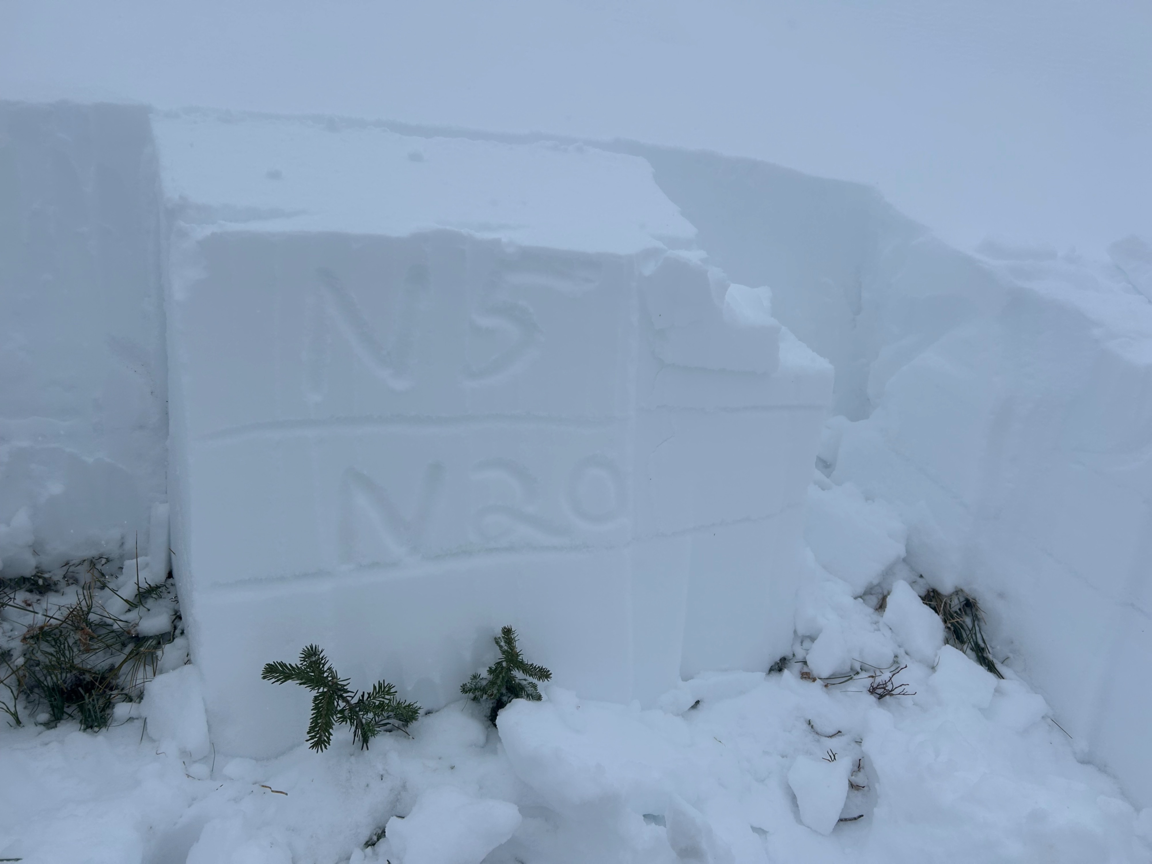
Dug three snowpits throughout the tour.
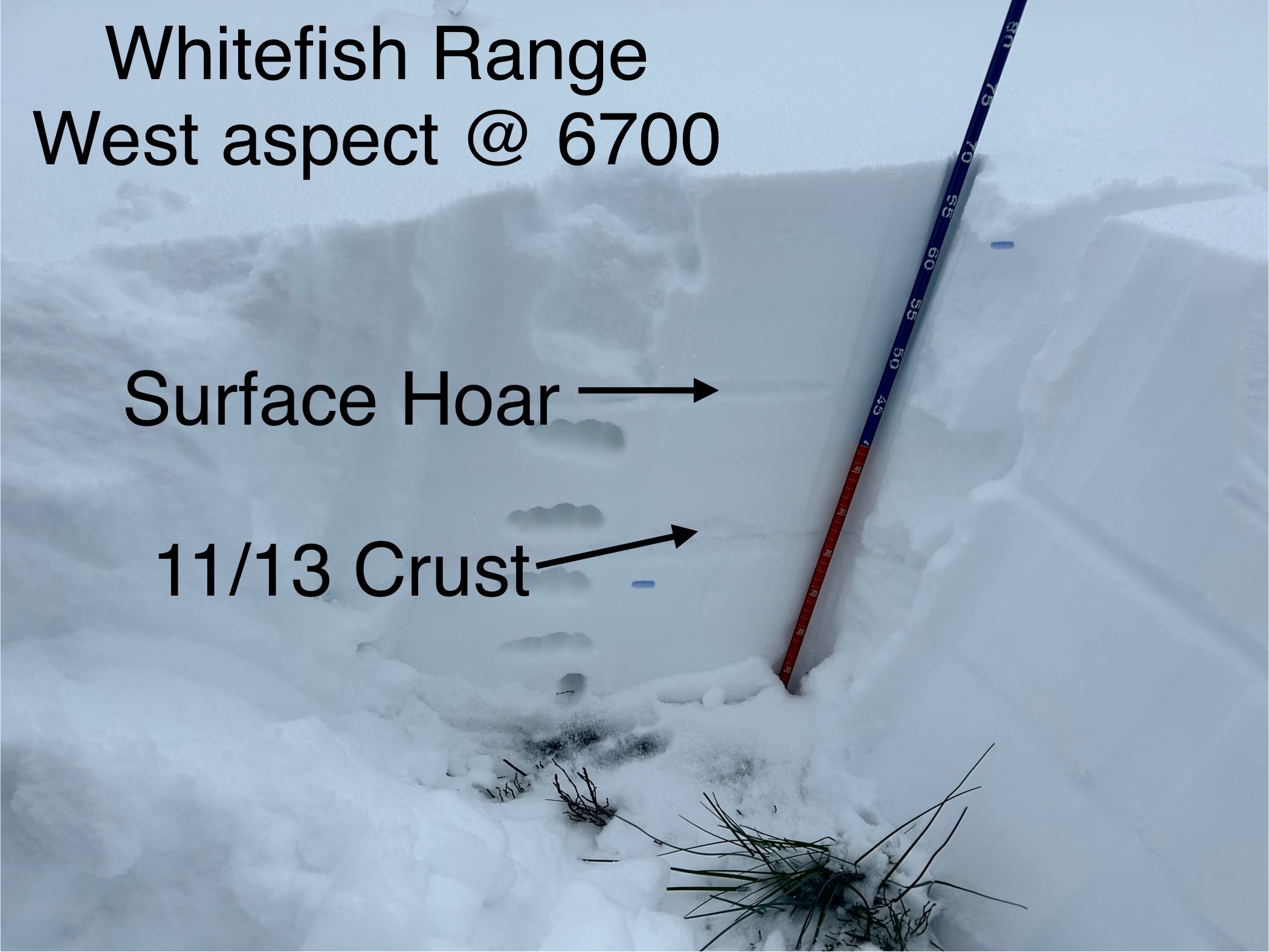
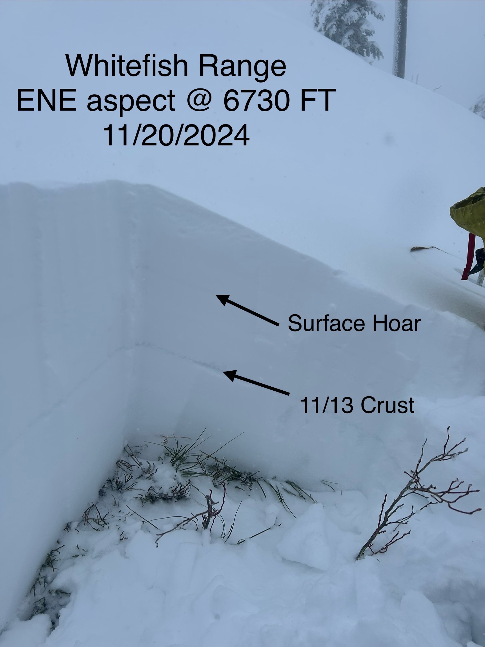
ENE Aspect @ 6700 Ft: Two layers of concern. The first is a layer of buried surface hoar 15 cm below the surface. The second layer is the 11/13 crust. I didn't have a lens, but I suspect the layer developed near-surface facets around the crust.
W Aspect @ 6700 Ft: Same findings as above. The layer of surface hoar was more difficult to find due to smaller grains, but still existed. Almost identical test results.
SE Aspect @ 6100 Ft: HS 55 cm. Found two crusts in the basal snowpack. I found a layer of near-surface facets at the same interface where surface hoar was observed in other snowpits.