
Quick report
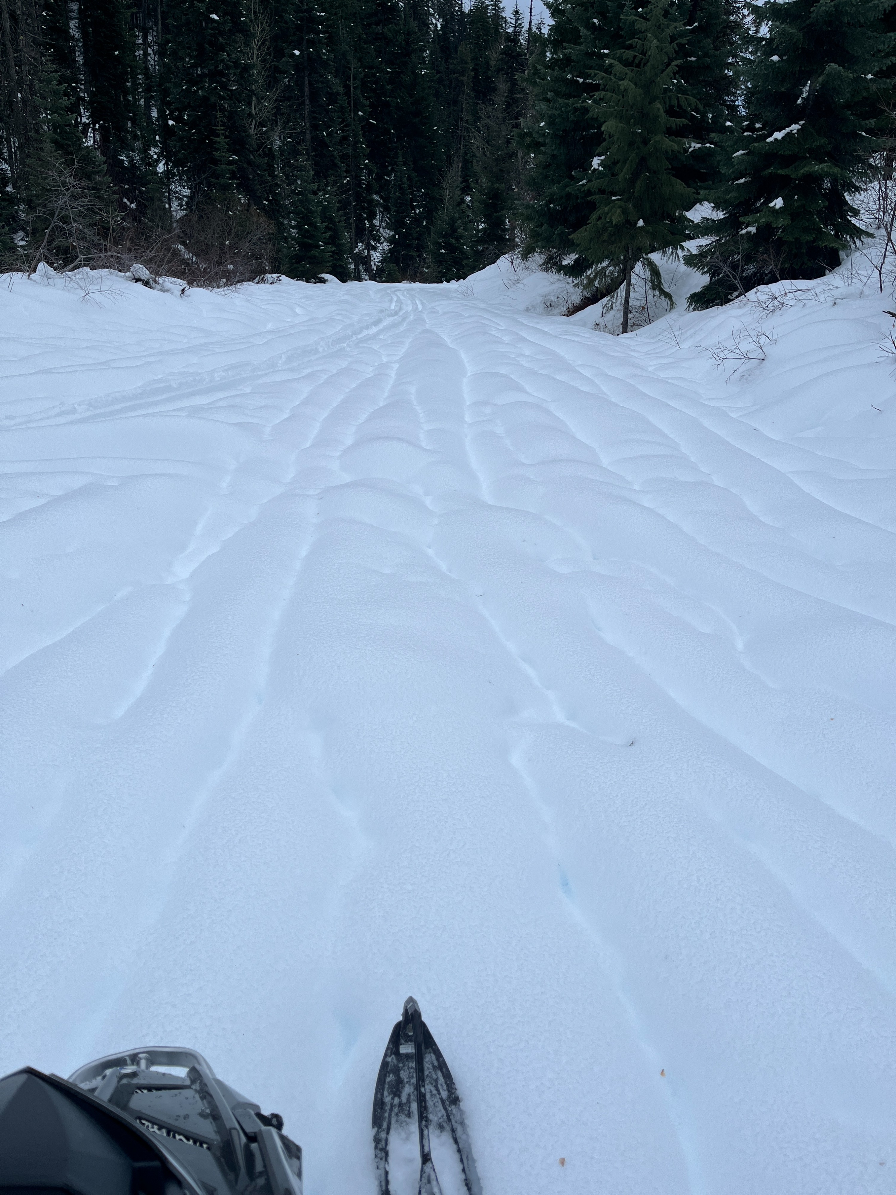
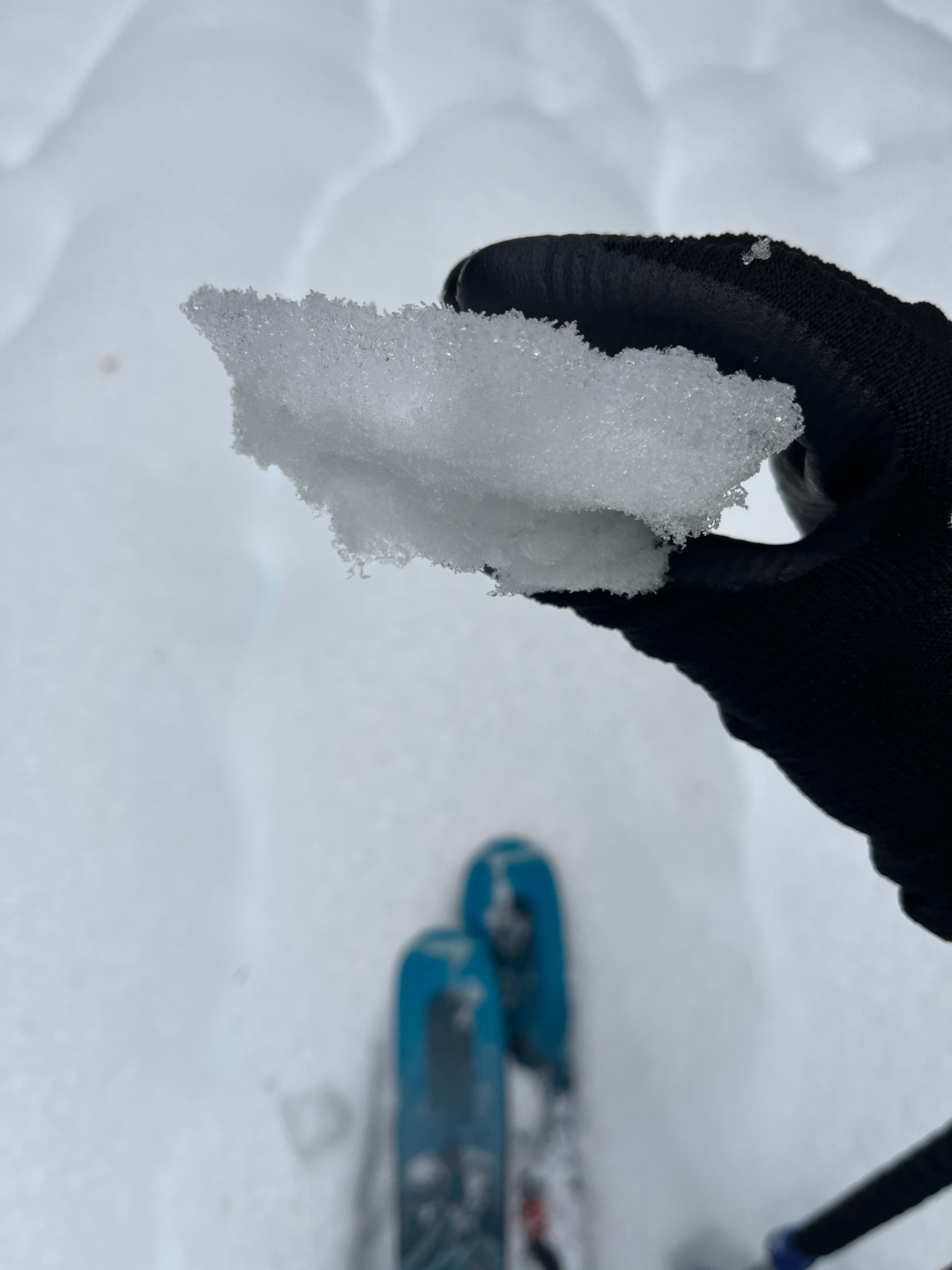
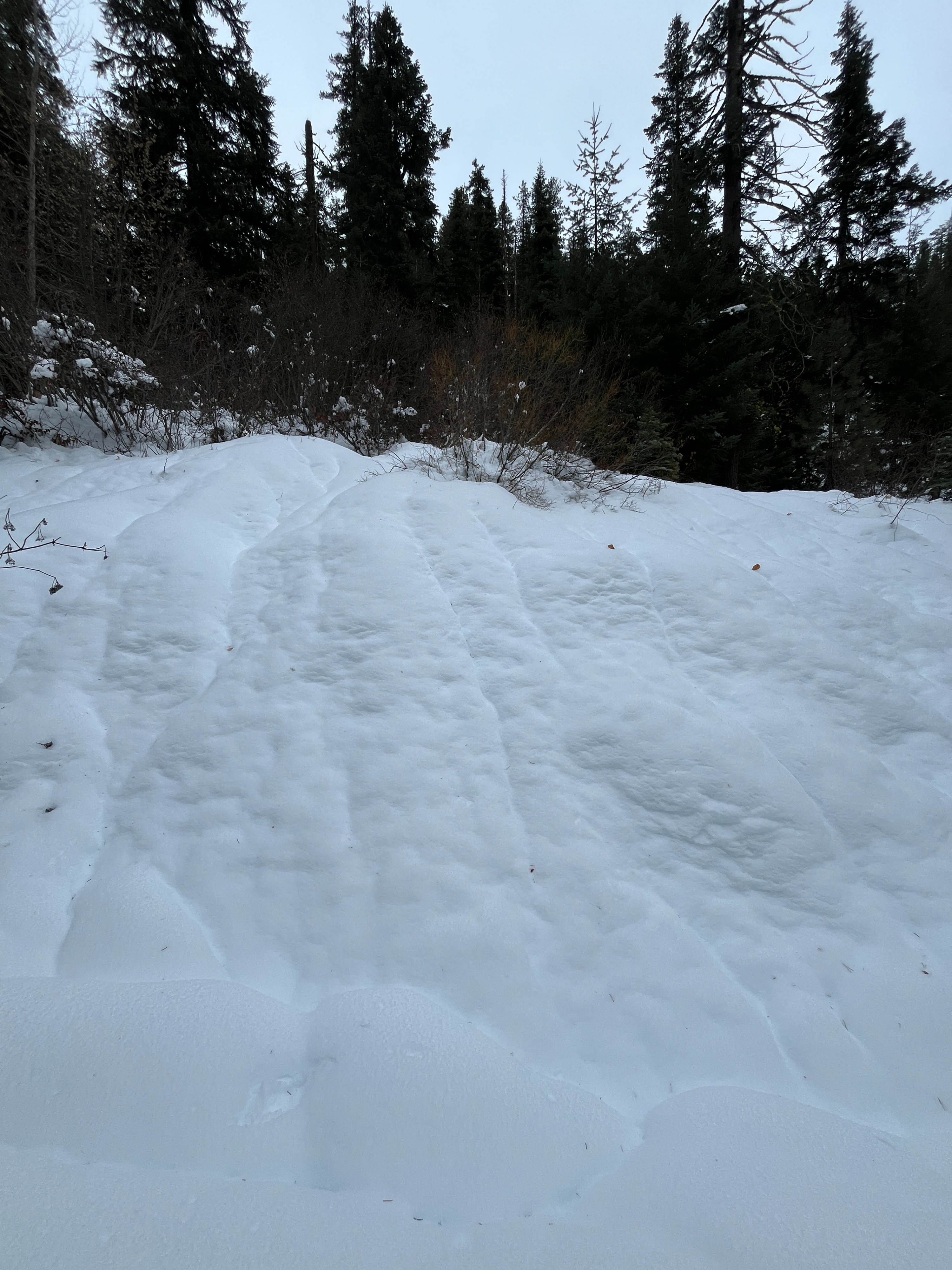
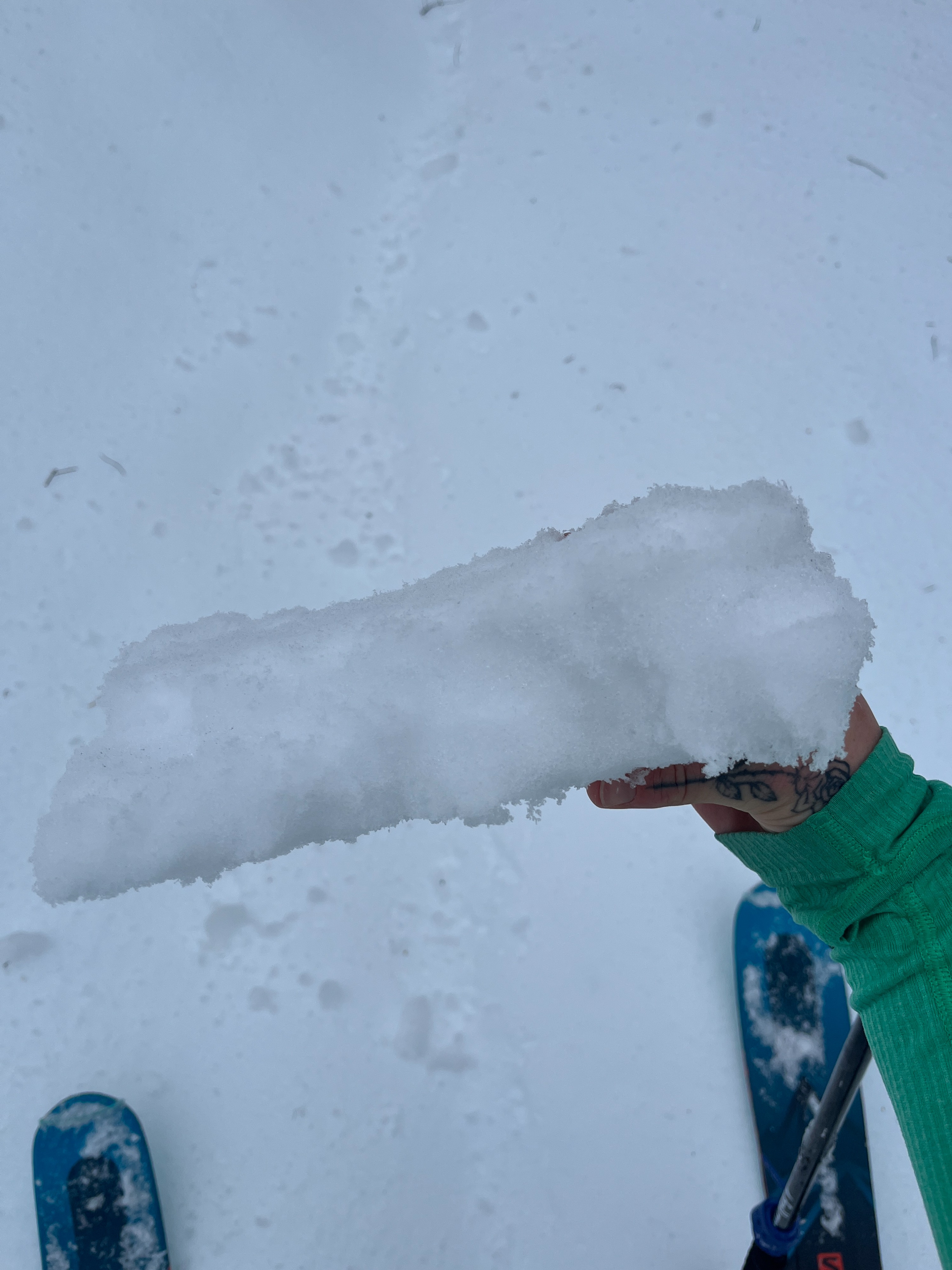
Overall, a questionable day to be traveling in the backcountry but interesting nonetheless. There is a robust yet breakable freezing rain crust below 5000 ft. Above this, plenty of moisture lingers in the snowpack. I saw numerous other signs of wet snow instability.
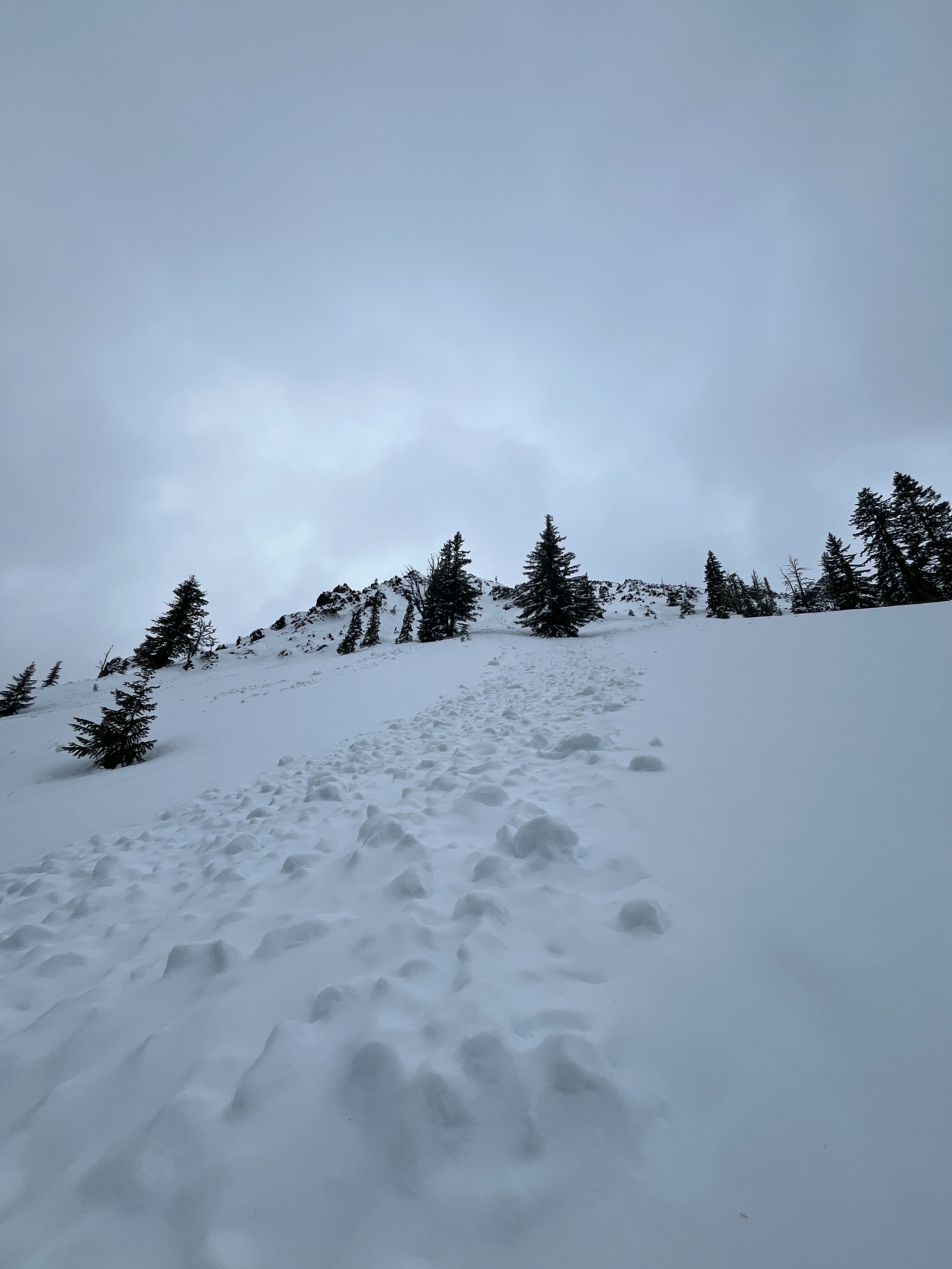
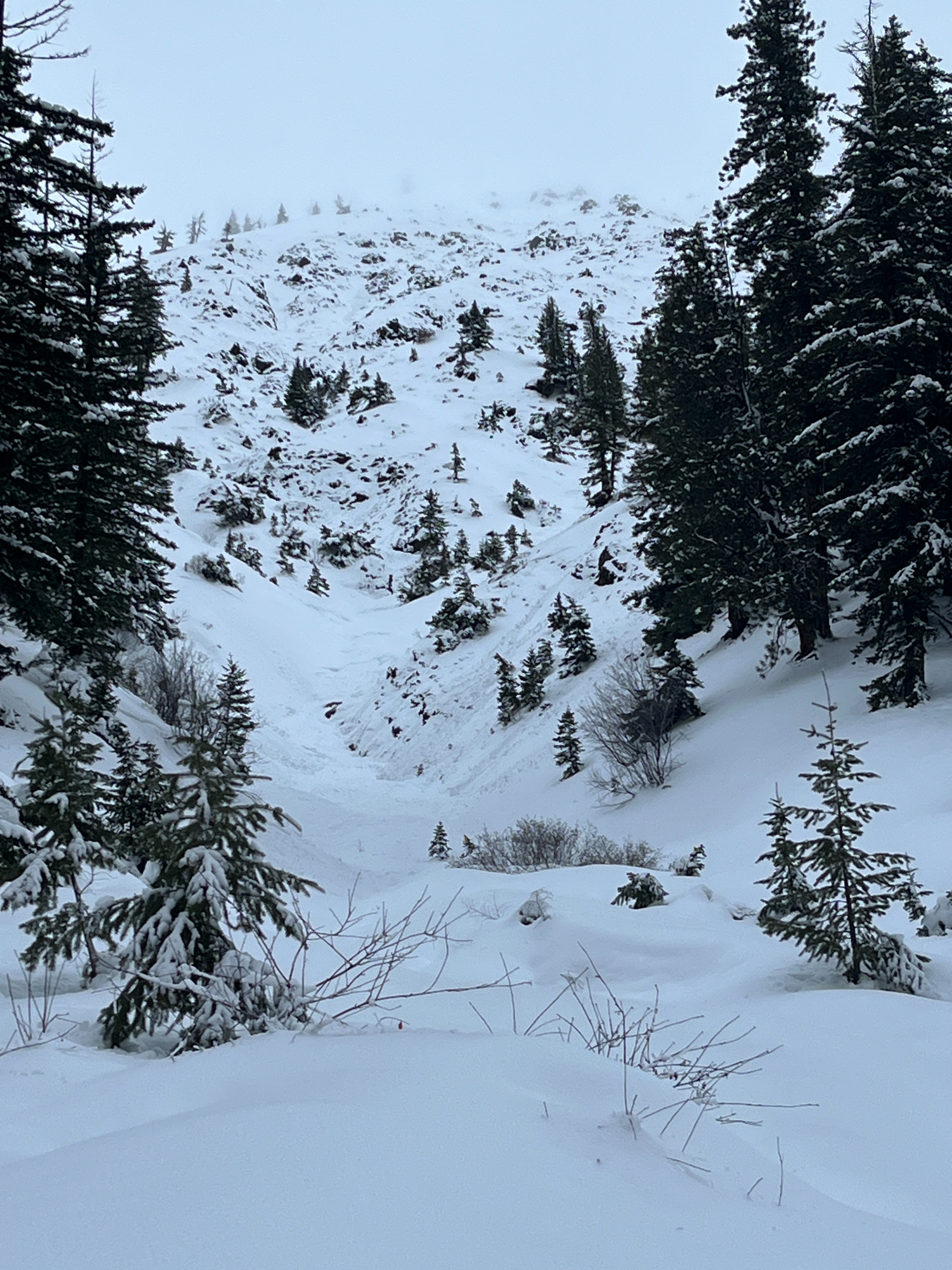
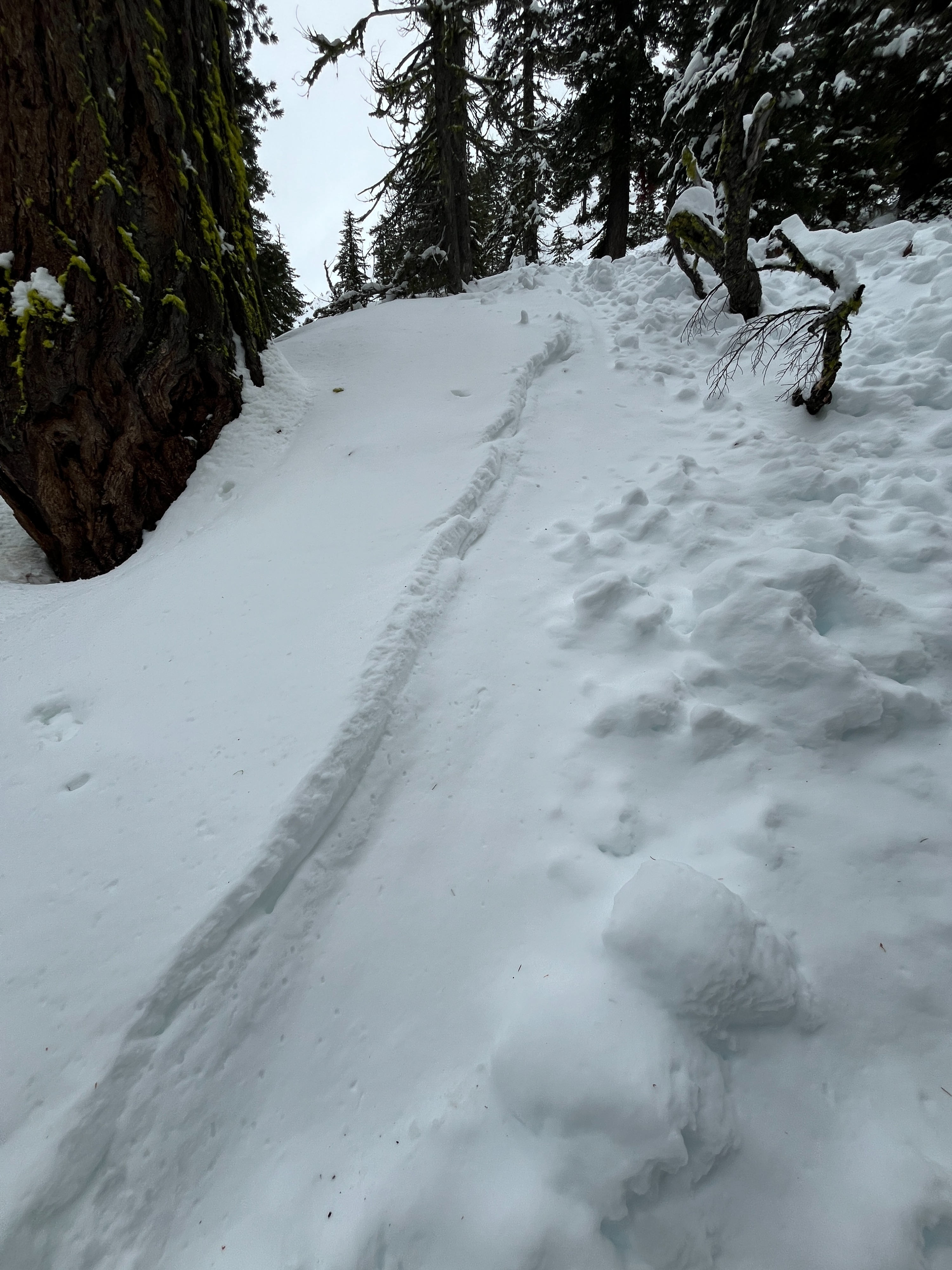
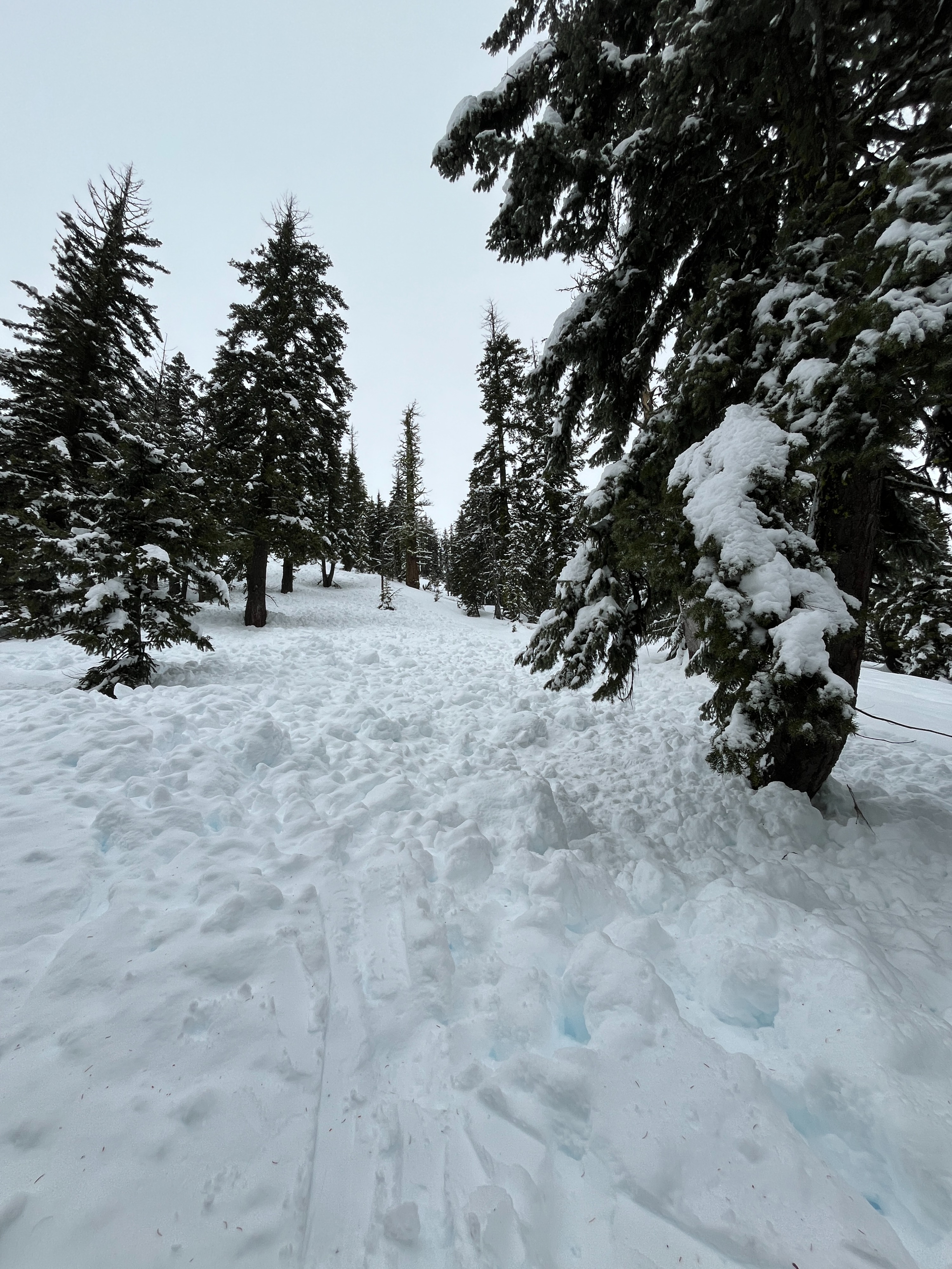
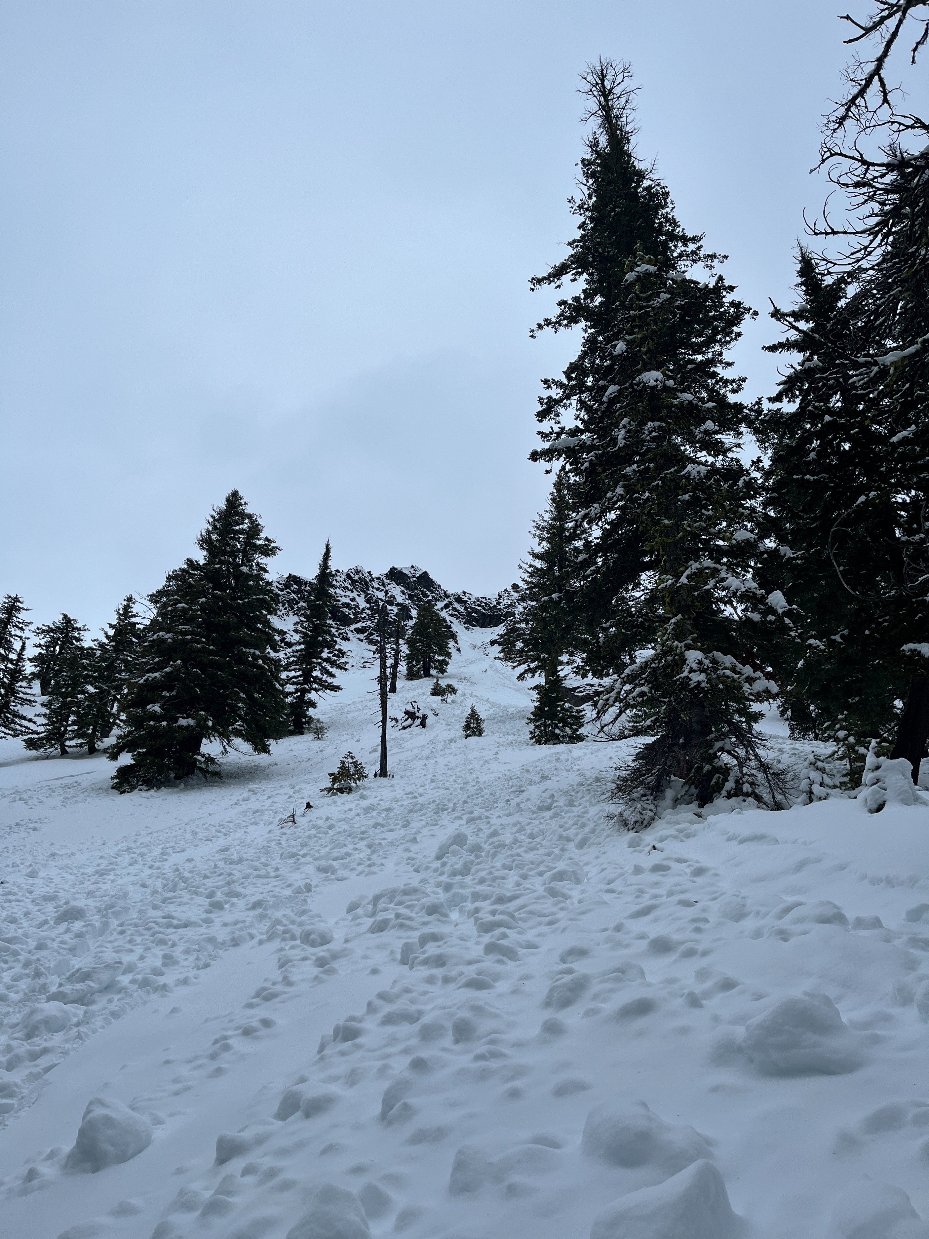
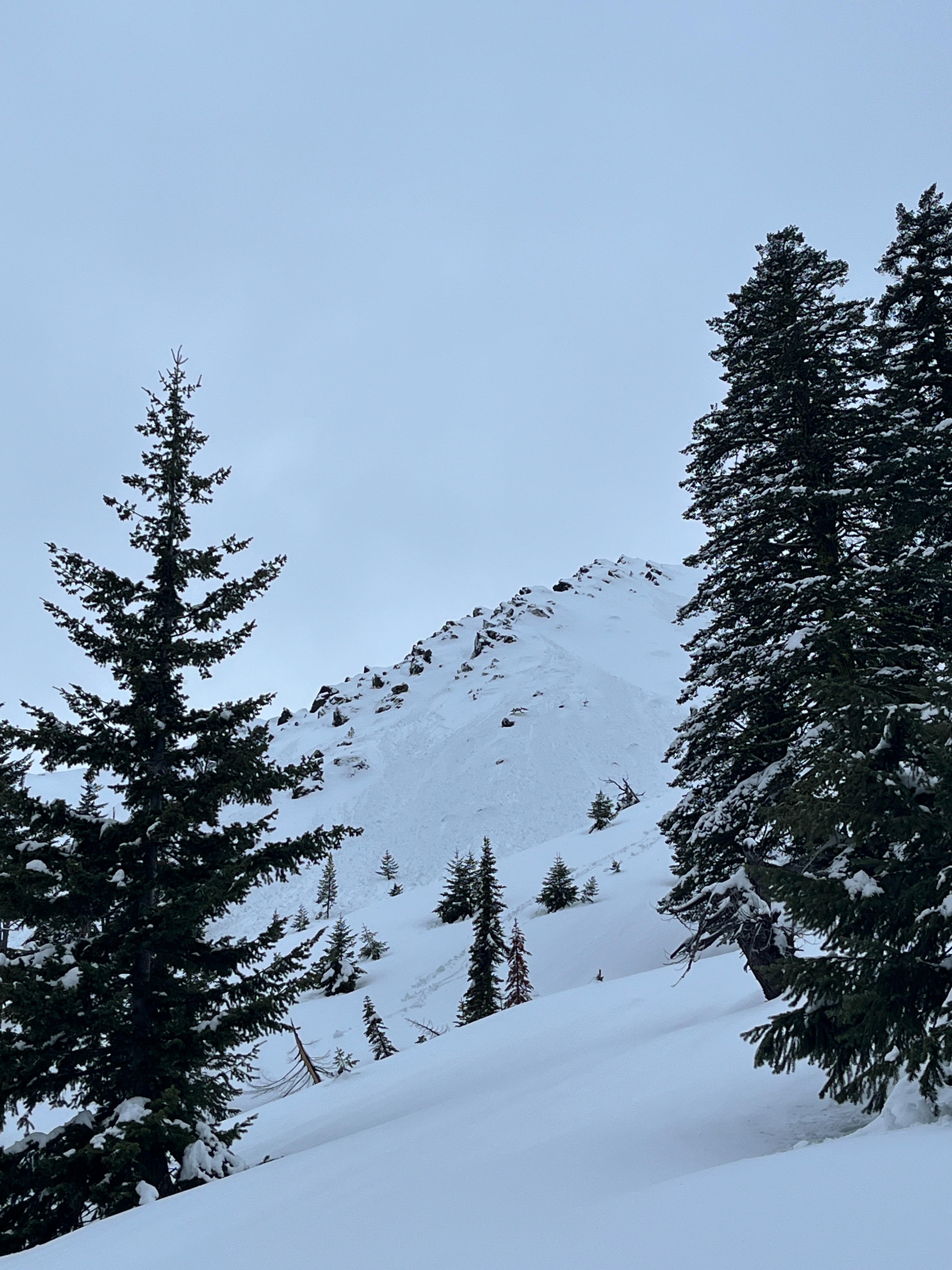
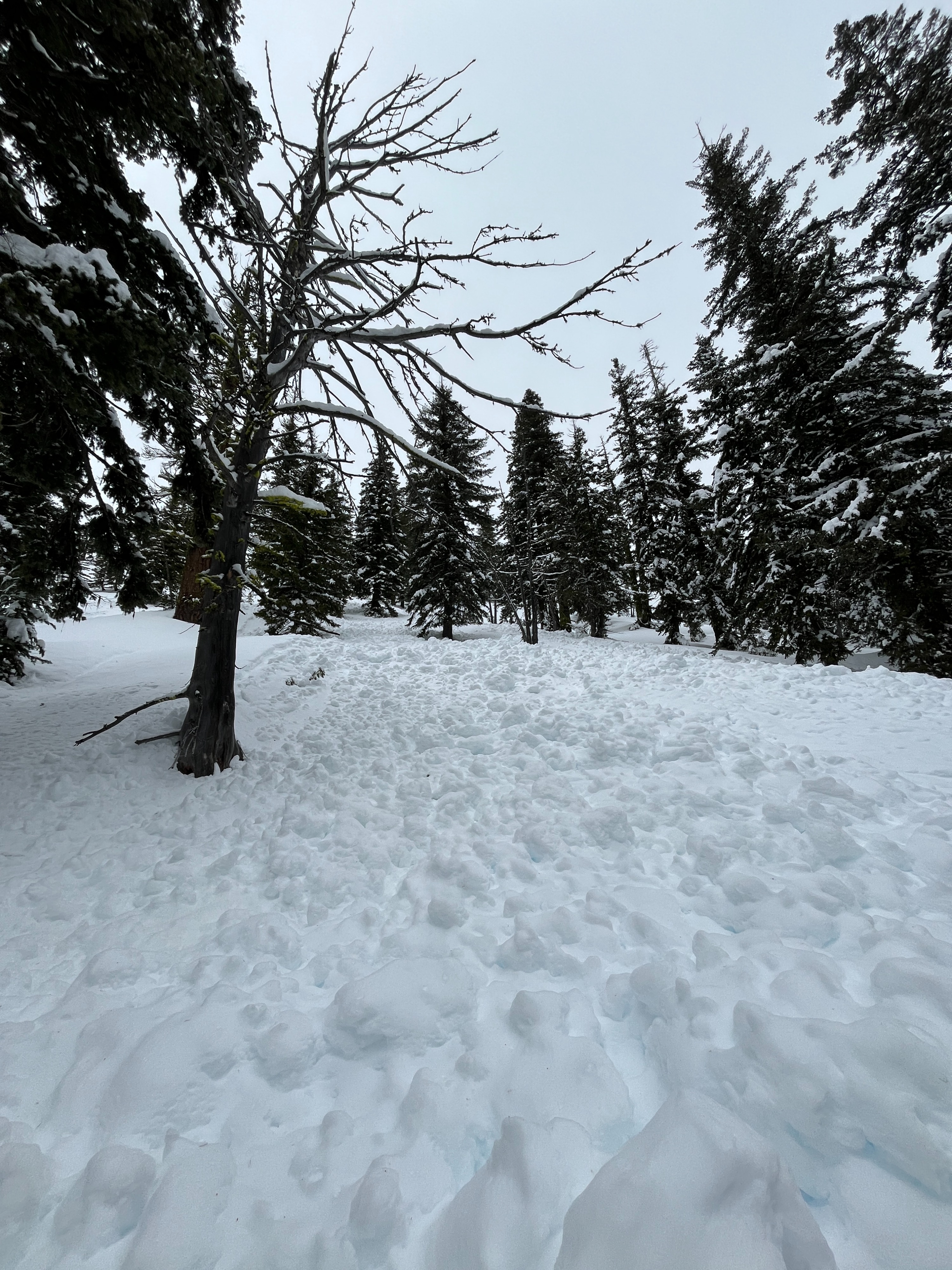
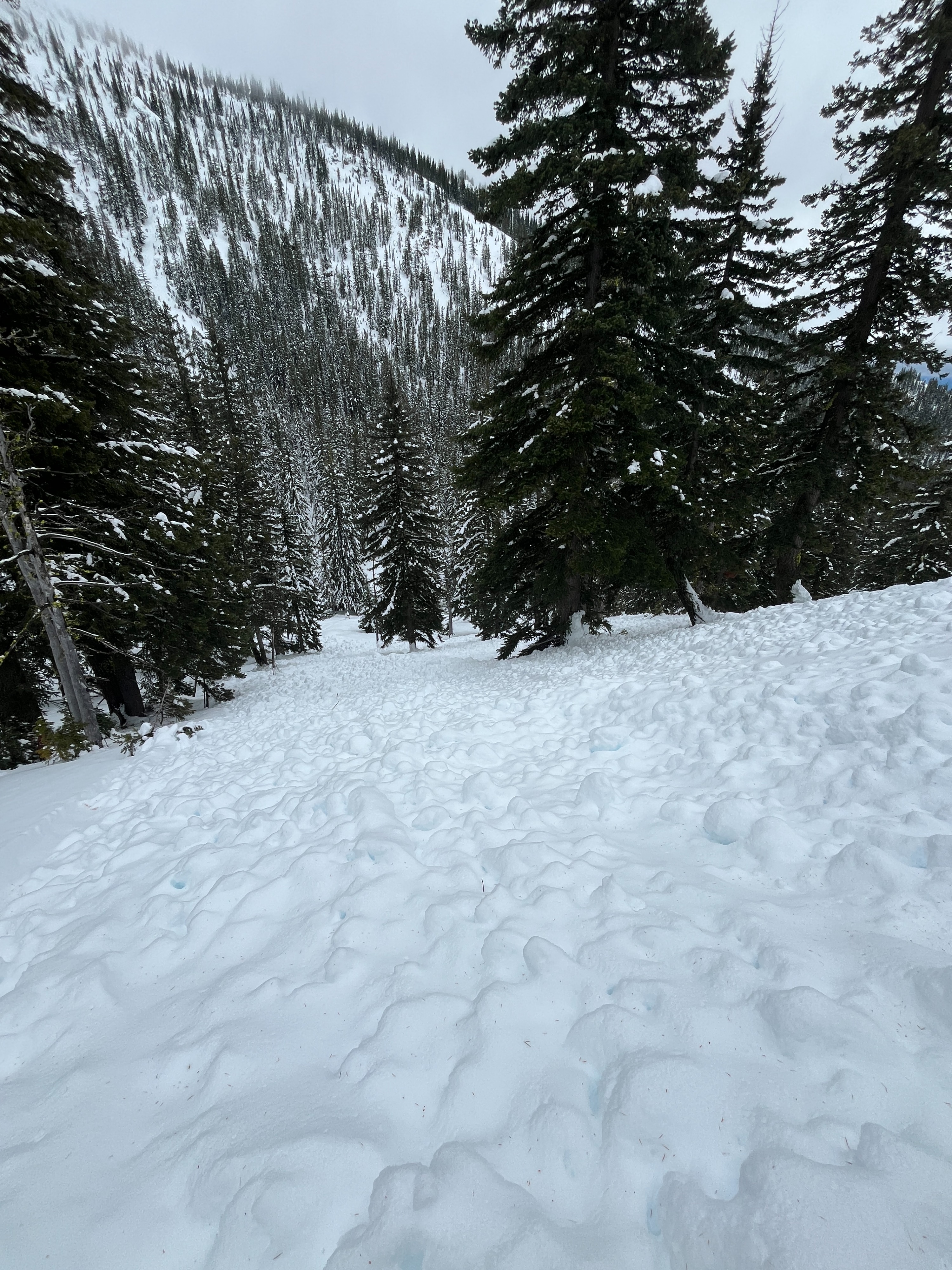
I encountered numerous small wet loose avalanches on various aspects. These all likely released during or soon after the Tuesday night rain event. I saw plenty of fresh rollerballs releasing and chunks of snow dropping from trees throughout the day.Weather
- Air Temp
- 28
- Cloud Cover
- overcast
- Wind Loading
- none
- Recent Snowfall
- Trace
- Snow Avail For Transport
- none
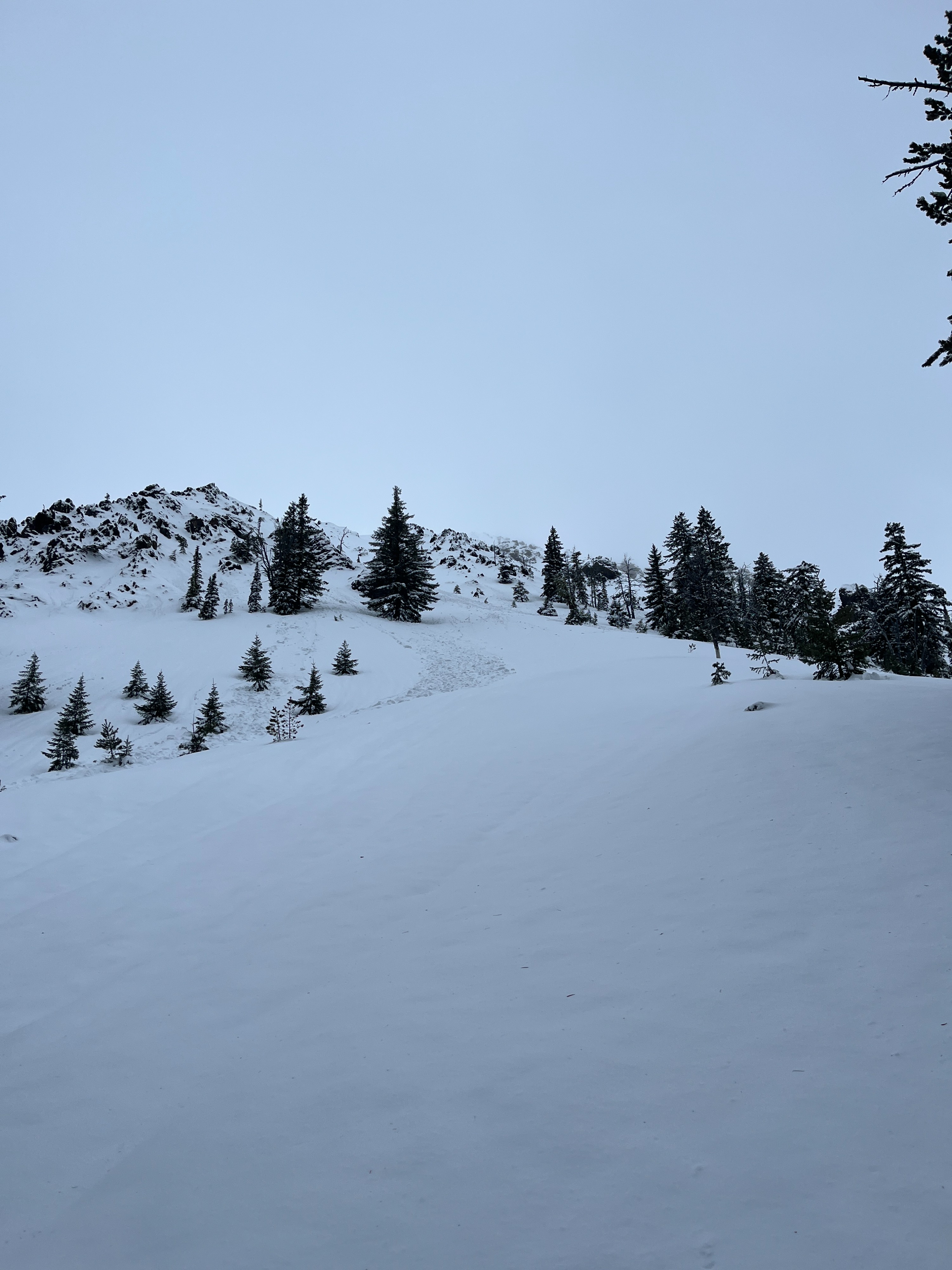
The day was overcast overall and relatively warm. I did see brief small pockets of blue sky in the afternoon. There was almost no wind; only occasional light gusts from the south. A trace of new snow blanketed the snowpack at middle and upper elevations.
Snowpack
The average snow depth at lower elevations ranges from 12-24in/30-60cm. A lot of exposed hazards still exist, especially after the Tuesday night rain event. The average depth around 4200 ft is 28-31in/70-80cm. The average depth begins to increase quite a bit as you reach middle elevations.
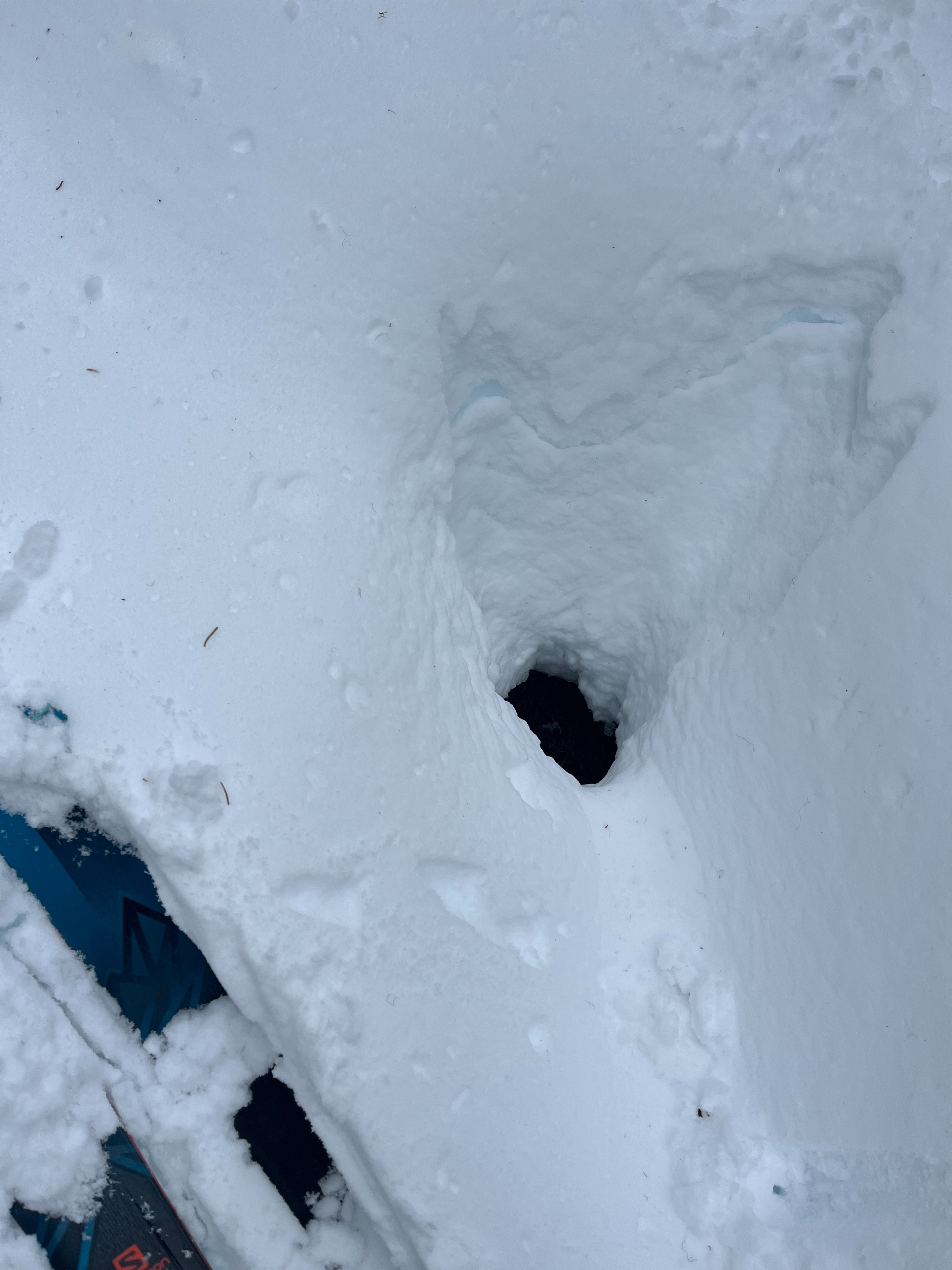
There is a breakable freezing rain crust below 5000 ft. The crust was refrozen in the morning, but not firm. By the afternoon, the crust was beginning to show minimal signs of thawing. The snow below this crust was dry and well preserved (still precipitation particles). Above 5000 ft is where I began finding moist and wet snow.
I dug a pit at 5500 ft on a SE aspect. The depth of this pit was 49in/124cm. I found weak, moist snow over halfway down in the snowpack to the 12/7 melt freeze crust. There was a harder but wet crust about 3in/8cm down from the surface that shovel shears produced moderate results on (STM). I did not find as pronounced near crust faceting around this crust as I have in other areas/aspects. Below the 12/7 crust, I found 1F (one finger) - K (knife) hard snow to the ground.
Avalanche
- Size
- D1
- Type
- WL
- Aspect
- E
- Trigger
- N
- Elevation
- 5000 ft
Numerous natural small wet loose avalanches that most likely released during or soon after the Tuesday night rain event.