
Quick report
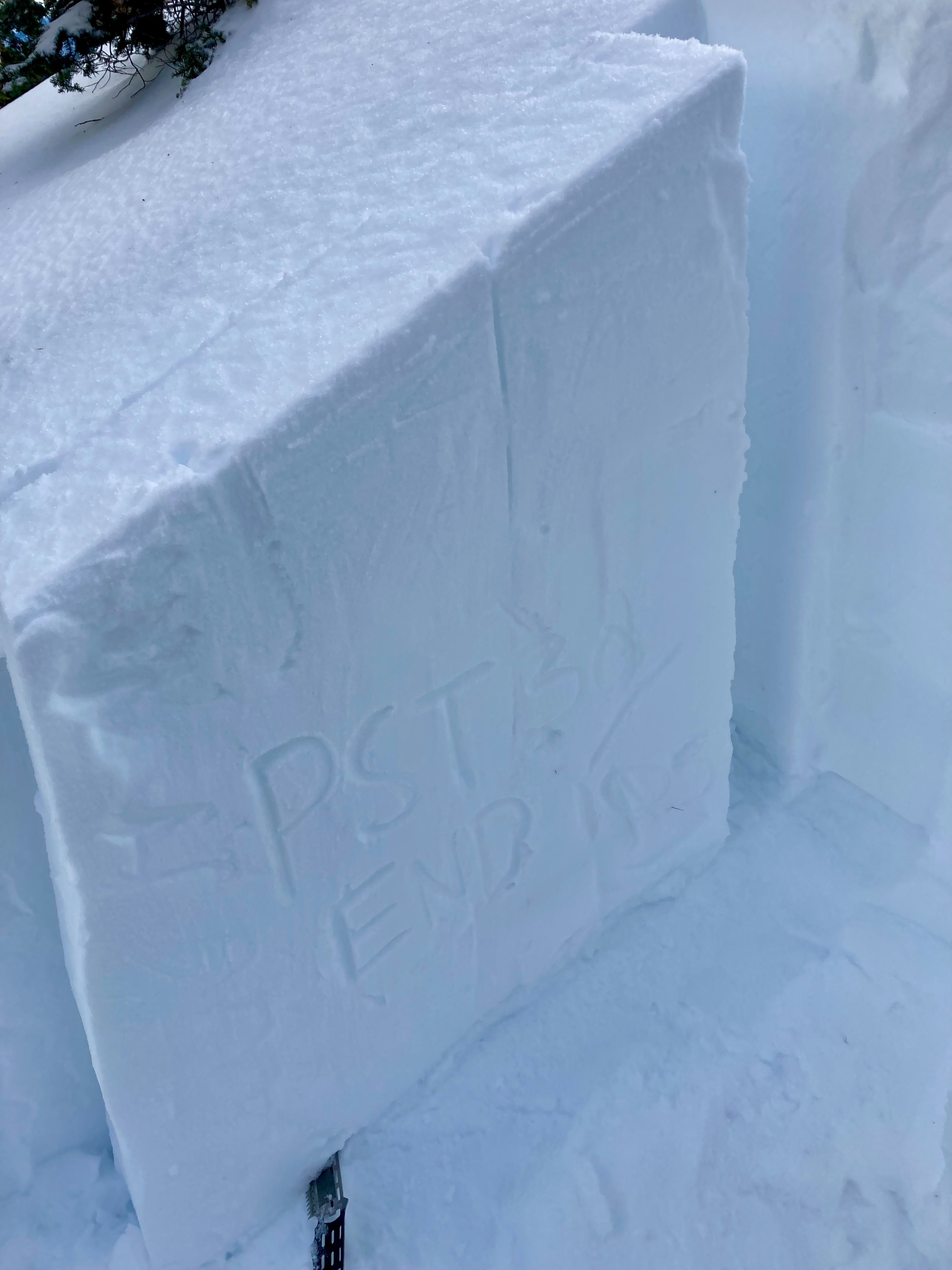
- Went for a quick tour to test Jan 2nd PWL and make some turns. To my surprise the supportable crust that had formed after the last event had just enough surface soft snow that it made the skiing quite enjoyable. On my way up I intentionally dug on a near tree line wind loaded feature (trying to replicate some of the recent P-slabs) and here are my findings. - North Aspect / 7500ft / HS 180 - Mostly 1F snow with some 4F mixed in below recent storm event, Jan 2nd PWL ID'd down 105 (rounding facets) - CTM (SC) down 105cm on Jan 2nd PWL (note:max testing depth) - CTH (SC) down 105cm on Jan 2nd PWL (note:max testing depth) - ECTN down 25cm on new/old interface (no result on Jan 2nd PWL, note: max test depth) - PST 30/105 (end) *block jumped down slope - Big takeaways: No signs of instability in this area besides old natural cycles, dense 1F slab >1 meter thick is making it harder to trigger but initiation and propagation still likely if you find the right trigger point or unsupported slope. Also PWL looks to be healing in this area, slowly but steadily. Also if folks are doing ECT's they might be getting bad data, this is the time to run PST's on this weak layer. Slab is too thick and too stiff for good ECT data, at least in this area.
Weather
- Air Temp
- near freezing
- Cloud Cover
- scattered
- Wind Loading
- none
- Snow Avail For Transport
- small smounts
increased west winds, cloud cover and some light precip (S-1) on the west crest with storm front moving in at 1200