
Quick report
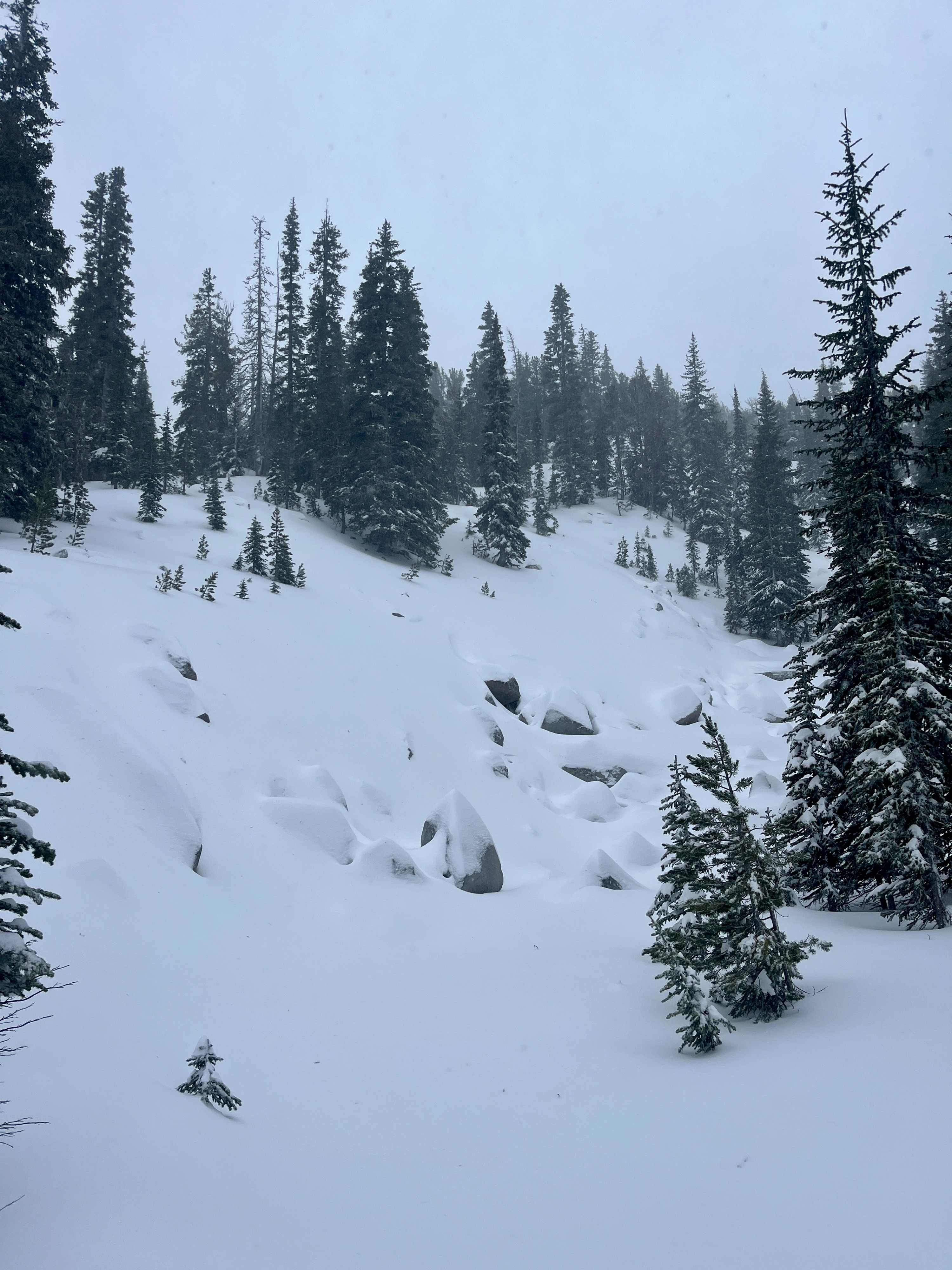
While precipitation was technically white instead of clear, I still got wet on my tour. Skiing in sheltered areas was decent cream cheese.
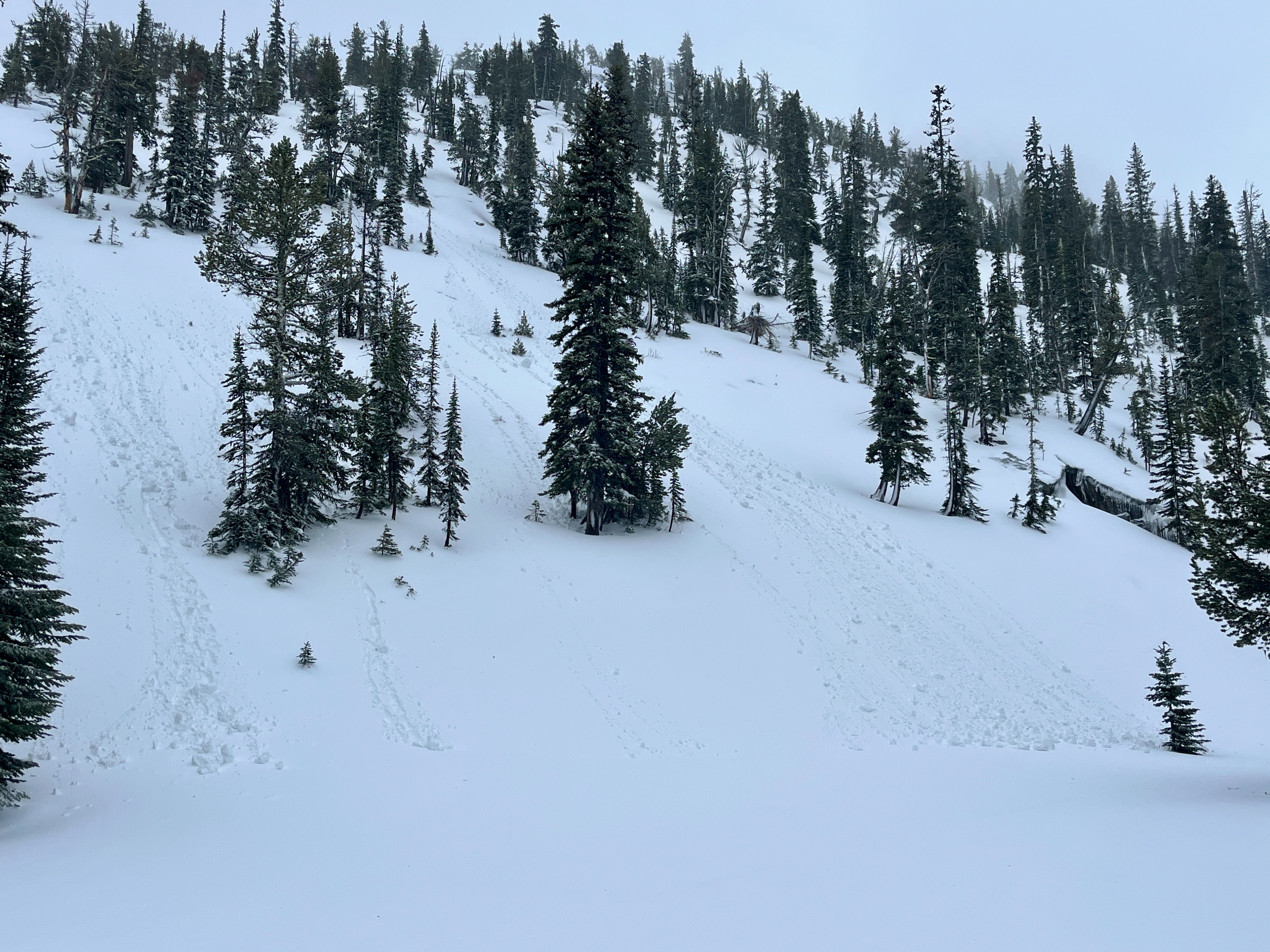
Isolated rollerballs on 35-40 degree terrain with warming in the new snow in the afternoon.Weather
- Air Temp
- 32
- Cloud Cover
- overcast
- Wind Loading
- previous
- Rain Elevation
- 6000'
- Recent Snowfall
- 3
- Snow Avail For Transport
- small smounts
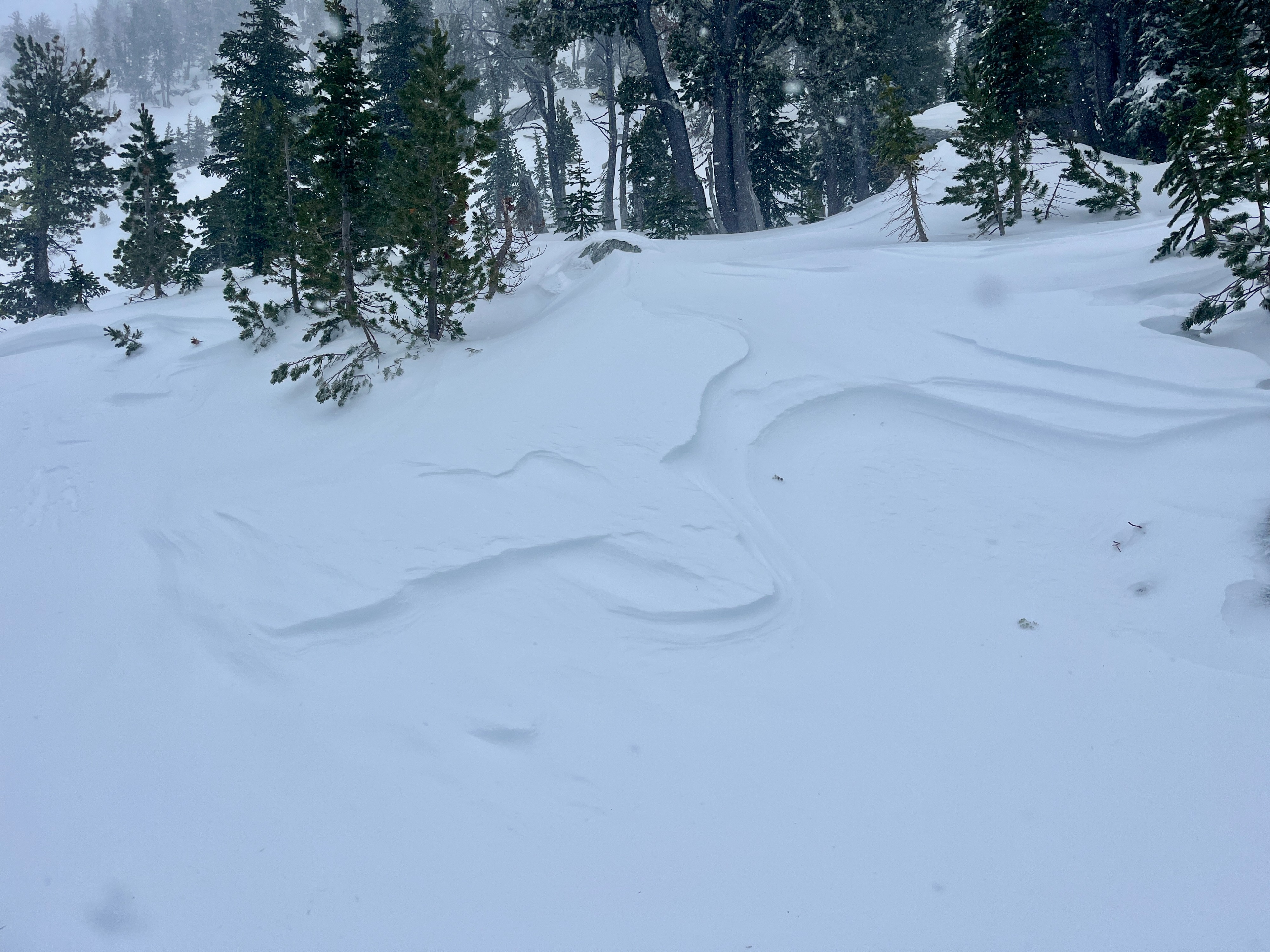
Steady temps near freezing. Variable winds with gusts to Strong. Blowing snow in gusts but no observed windloading. Light snow and sometimes graupel with less than an inch of accumulation.
Snowpack
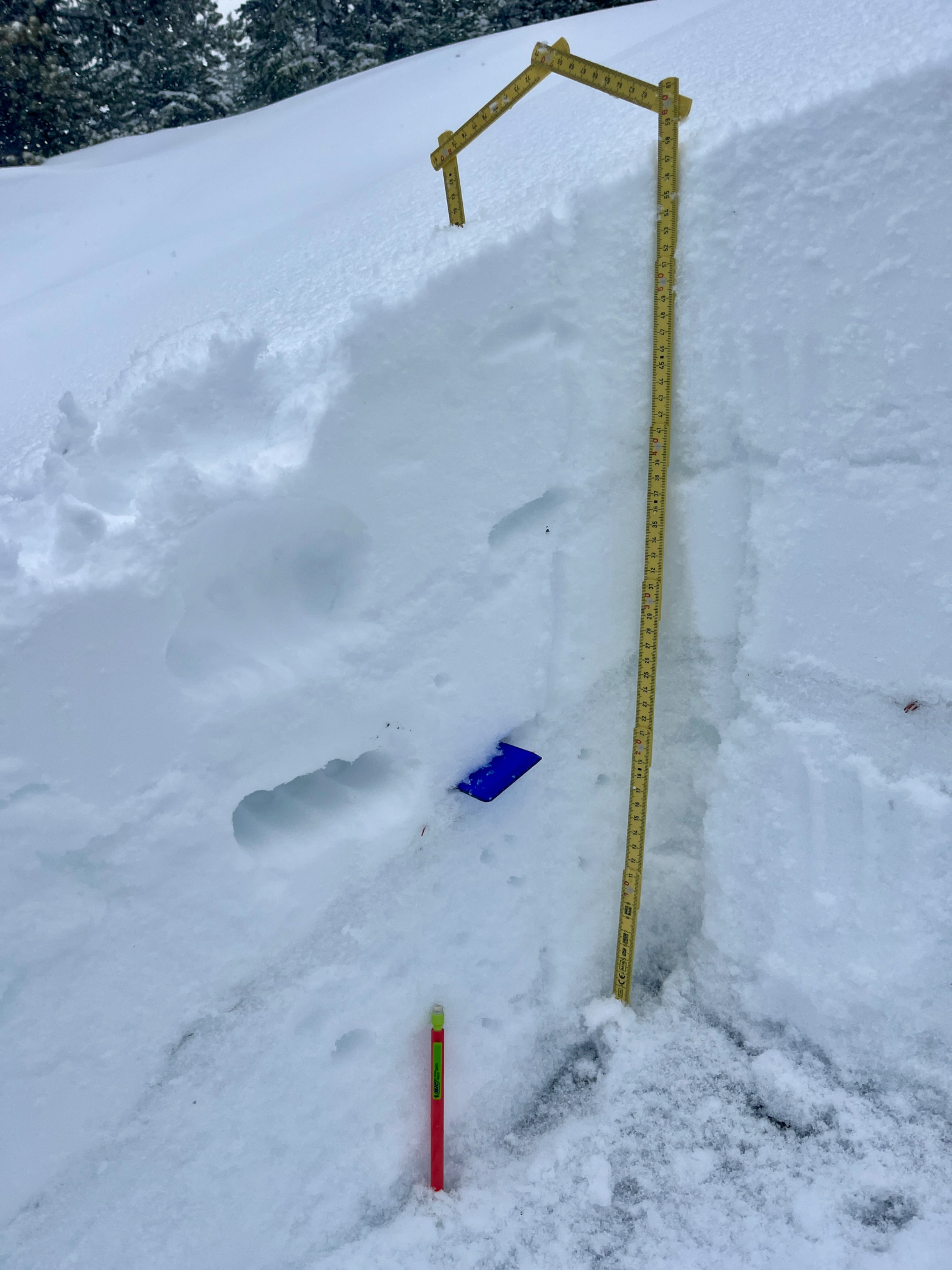
A dense upper snowpack kept skis from sinking in more than 5cm/2". There was an average of 90cm or 3' of snow at mid elevations and 100-130cms or ~4' of snow at upper elevations. At the saddle at 8350' NE, I found a very strong mid-snowpack. Weaker facets still exist in the bottom 6-12" of the snowpack, but they have been gaining strength and may be less of a concern with such a hard mid-snowpack.
Hand shears did not reveal any reactive windslab.
The rain and warm temps have led to a moist snowpack at lower elevations and especially shallow snowpacks.
A series of hard/strong layers including ice exists in the mid-snowpack at upper elevations above 8000'. This will be good for stability moving forward.