
Quick report
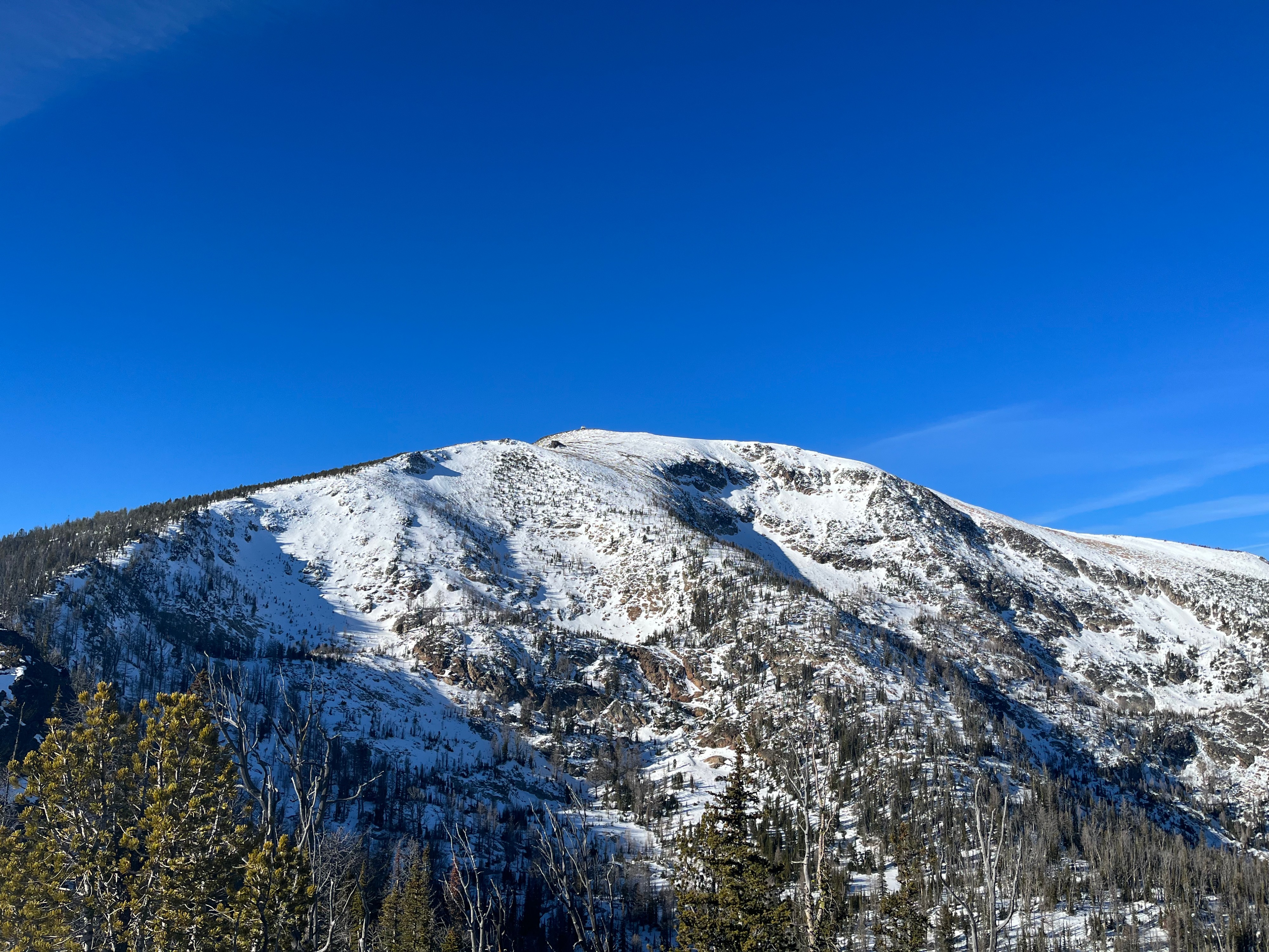
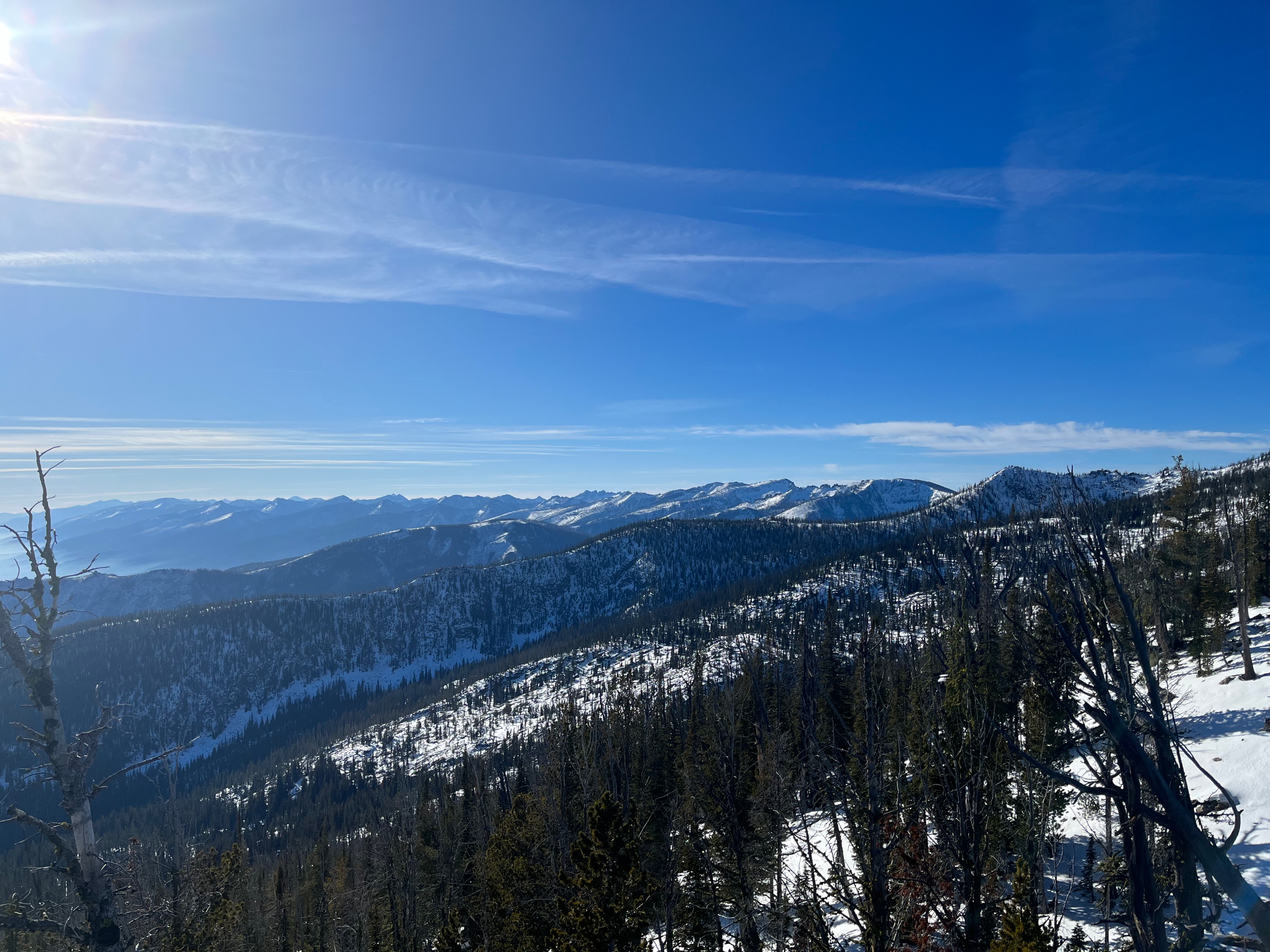
There is little to no snow coverage at lower elevations, inconsistent snow coverage at middle elevations, and consistent albeit shallow snow coverage at upper elevations. The snow is of poor quality on all aspects. The Lolo Pass weather station (5240') reported temperatures well above freezing yesterday and temperatures that inched just above freezing again today. A weather system moving in this weekend will hopefully bring more consistent snow coverage and colder daytime temperatures to the zone, but unstable conditions are a possibility where new snow will fall on old, weak snow. We will issue another general information product on Friday with further details about incoming weather and expected conditions.
Weather
- Cloud Cover
- few
- Wind Loading
- none
- Rain Elevation
- 6100'
- Snow Avail For Transport
- none
Calm wind speeds, mostly clear skies and warm temperatures.
Snowpack
Inconsistent snow coverage began at 6100', and more consistent snow started around 7000'. North-facing aspects are characterized by unconsolidated sugary and faceted snow. South-facing aspects are characterized by sun crusts and a more shallow snowpack. Hard-packed, wind-affected snow and sastrugi were visible through a monocular on N-NE facing aspects on upper-elevation alpine slopes.