
Quick report
- Cracking
- isolated
Persistent slab avalanches remained the primary avalanche hazard today. The weak, sugary layer of facets in the middle of the snowpack is stubborn, but is still producing unstable snowpit test results. The significant storm this weekend could tip the scales and make things much more sensitive.
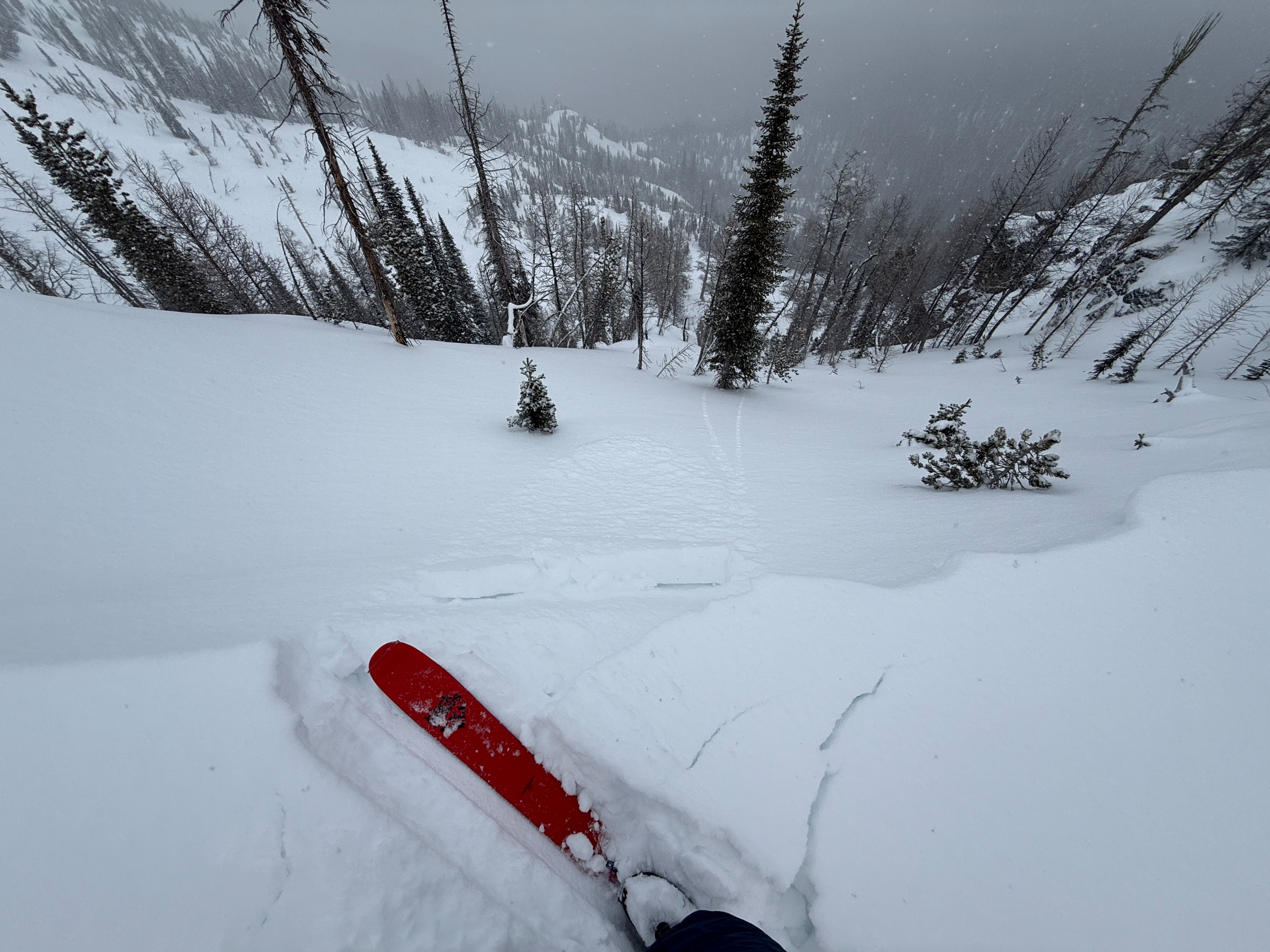
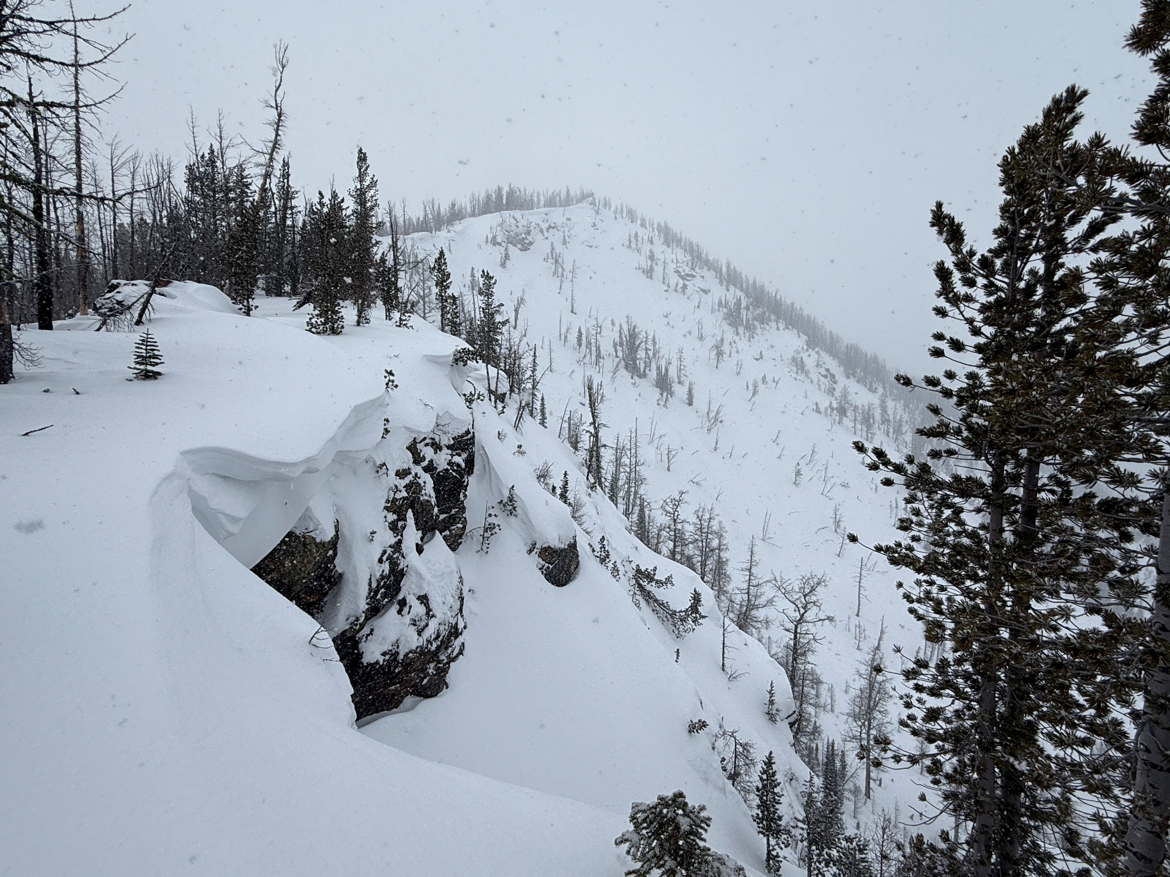
There was around 4 inches of new snow from yesterday with some moderate wind effect at upper elevations. Cracking was limited to cornices and wind lips right along the ridgeline and generally, wind slabs had not developed yet. That will likely change this weekend.
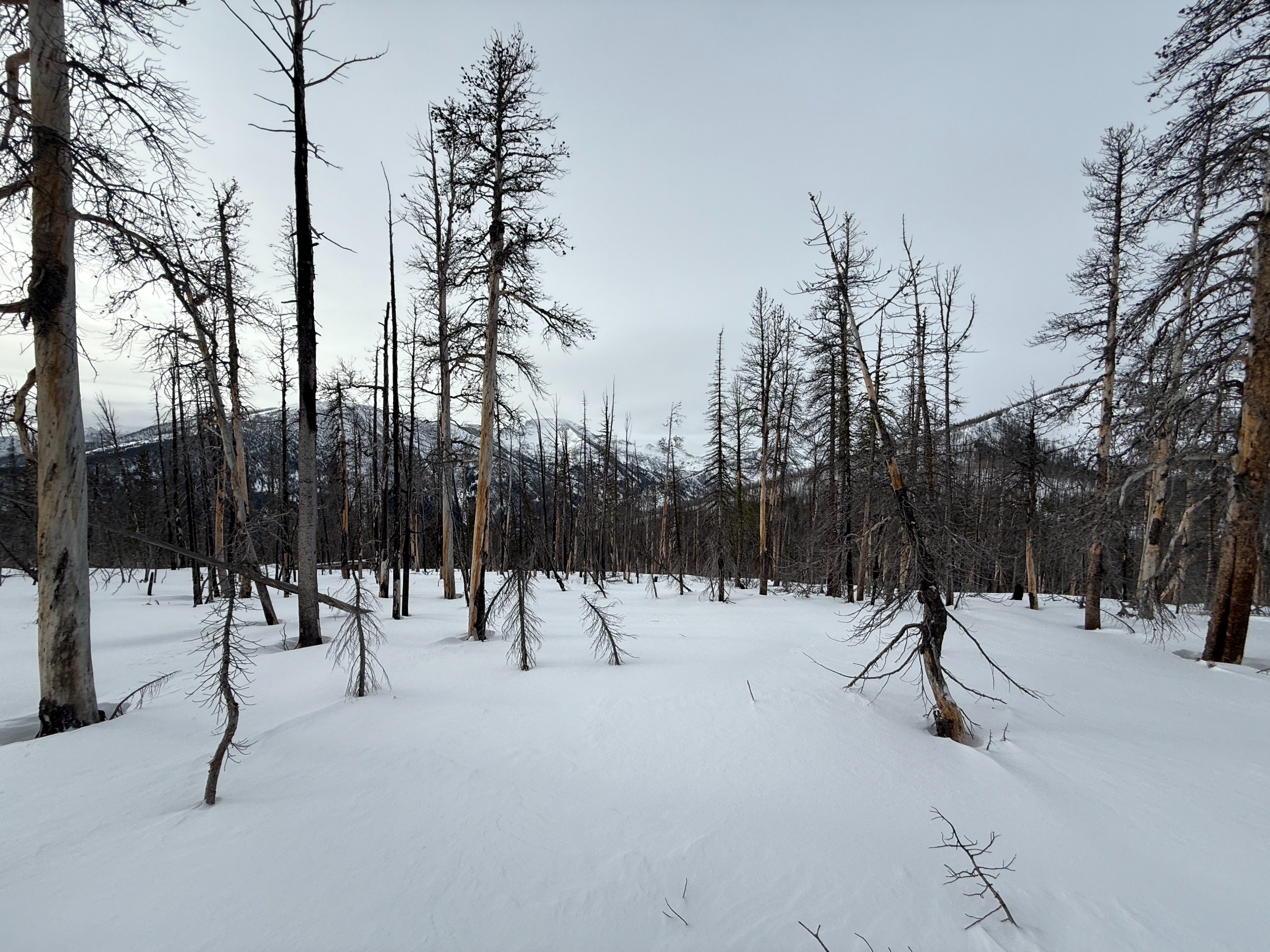
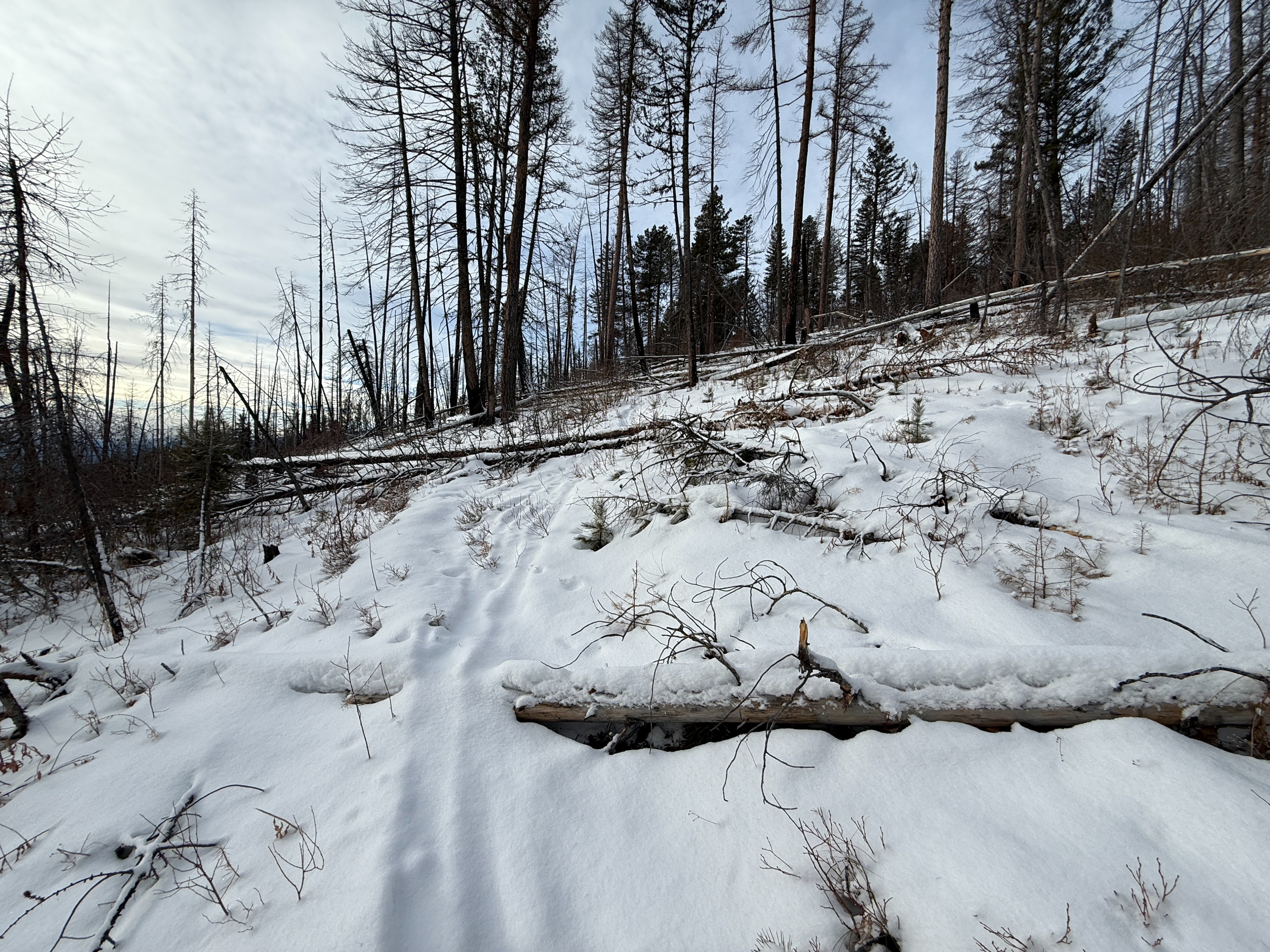
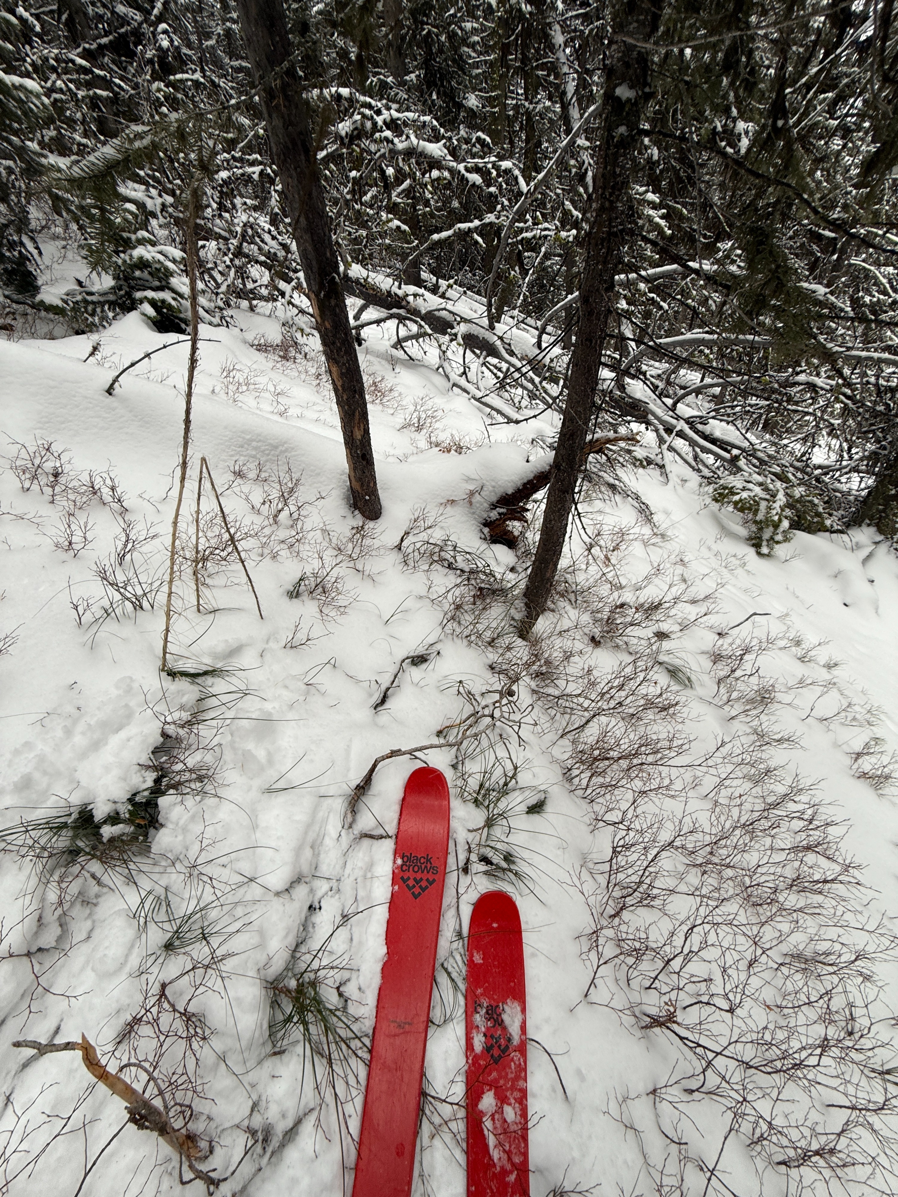
Conditions are still very thin out there, especially at middle and lower elevations.
Observed isolated cracking in the new snow in wind drifts and cornices.Weather
- Air Temp
- 26
- Cloud Cover
- broken
- Wind Loading
- light
- Recent Snowfall
- 10
- Snow Avail For Transport
- small smounts
The day started surprisingly nice, with some sunshine poking through thin clouds and light winds. Around noon, light snow began to fall, which continued through the afternoon. There was around 4 inches of new snow from yesterday, and another trace to 1" fell this afternoon.
Snowpack
I dug a snowpit on a NE aspect at 7800 ft on Sweeney's east ridge. It was a lightly wind loaded spot, but not nearly as wind affected as other places further up the ridge. The pit had a poor snowpack structure and produced an unstable, propagating snowpit test result (ECTP22). The test failed on a weak, sugary layer of facets in the middle of the snowpack. The entire bottom half of the snowpack was faceted, but the top 7 cm of the facets was the weakest. The top half of the snowpack formed a 4F hard slab of new and recent snow. See snow pit profile for more details.