
Quick report
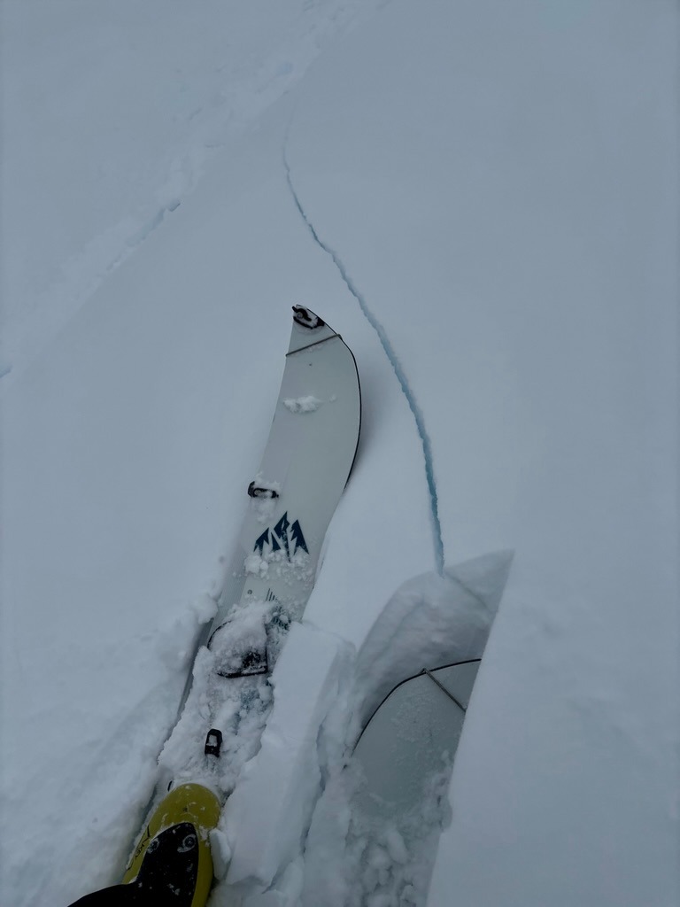
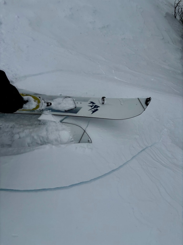
- Cracking
- specific
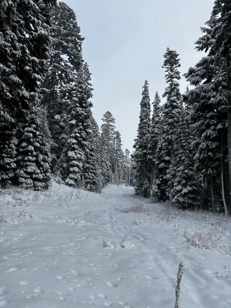
The snowpack is slowly building and travel is becoming more reasonable above the 5500 ft or so. The new snow is fairly low-density and generally right-side-up, with the exception of wind-loaded areas that were quite reactive on Friday morning.
Weather
- Air Temp
- Mid 20s
- Cloud Cover
- overcast
- Wind Loading
- moderate
- Rain Elevation
- 3000 ft
- Recent Snowfall
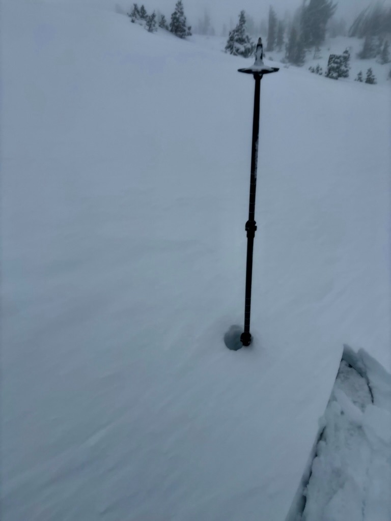
- 17 cm overnight. 30 cm since 12/24.
- Snow Avail For Transport
- moderate amounts
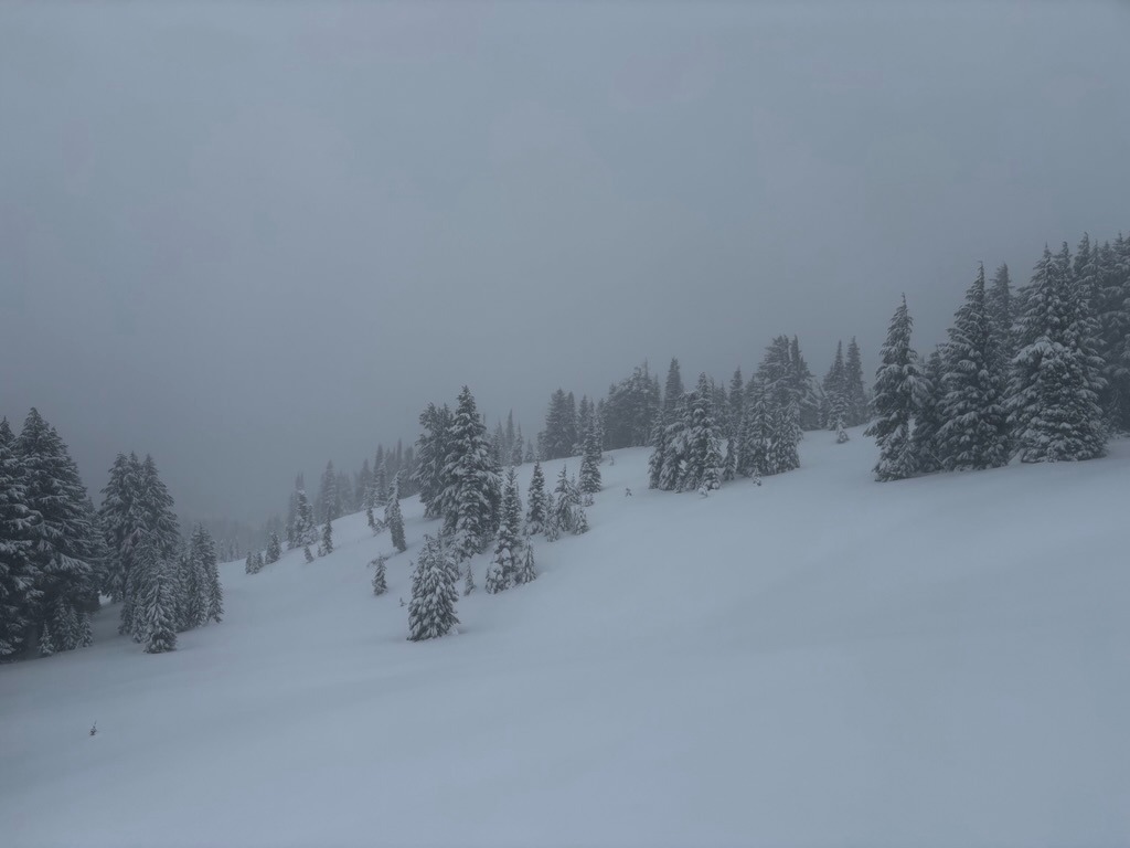
The day started with light winds and snow showers. These increased as the morning progressed, with significant rain shadowing along the east slopes of Mt. Hood.
Snowpack
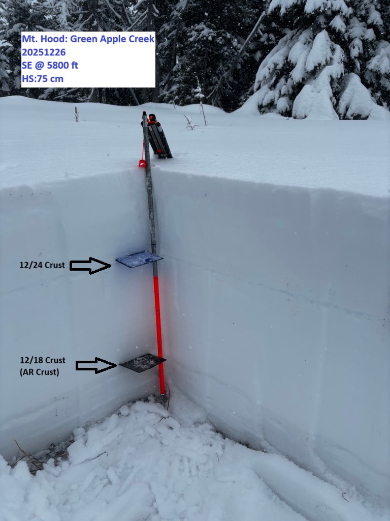
Successive storms are finally building a snowpack across the middle and lower elevations. HS depths ranged from about 30-40 cm near the parking lot and increased to roughly 80 cm around 6000 ft. Strong winds built much thicker pockets of reactive drifted snow along lee slopes.
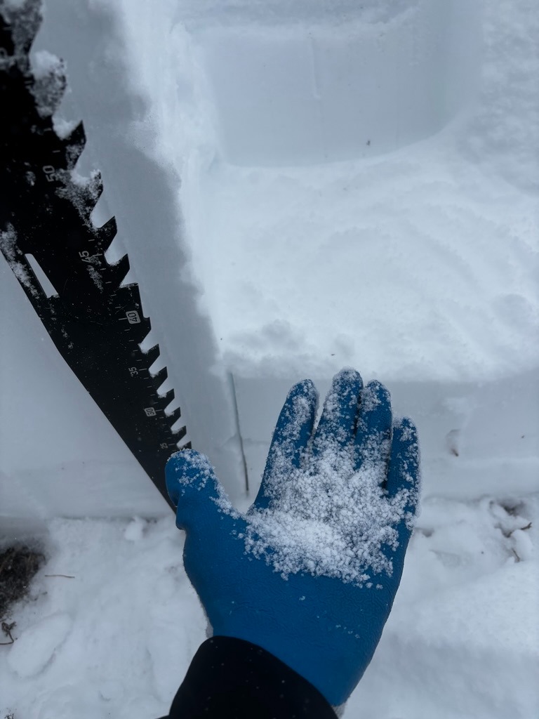
In a test profile on a SE aspect at 5800 ft, I found a HS of 75 cm and fairly right-side-up snow structure. Two notable crusts act as prominent markers in the snowpack: the 12/24, which is buried roughly 1 ft, and the 12/18, which is roughly 2 ft below the surface at this point. The 12/18 does have some slightly weaker snow sanwiched below it, but it failed to do much with tests. These layers produced results with CT's, but failed to propagate with longer columns. The most notable snowpack test results I got were actually on a layer of graupel that was kicking around roughly 45 cm below the surface. This layer produced SP results, but also failed to propagate in ECT's.
Lots of early-season hazards, such as creeks, downed trees, and shallowly buried rocks, plague the canopy and scoured areas.