
Quick report
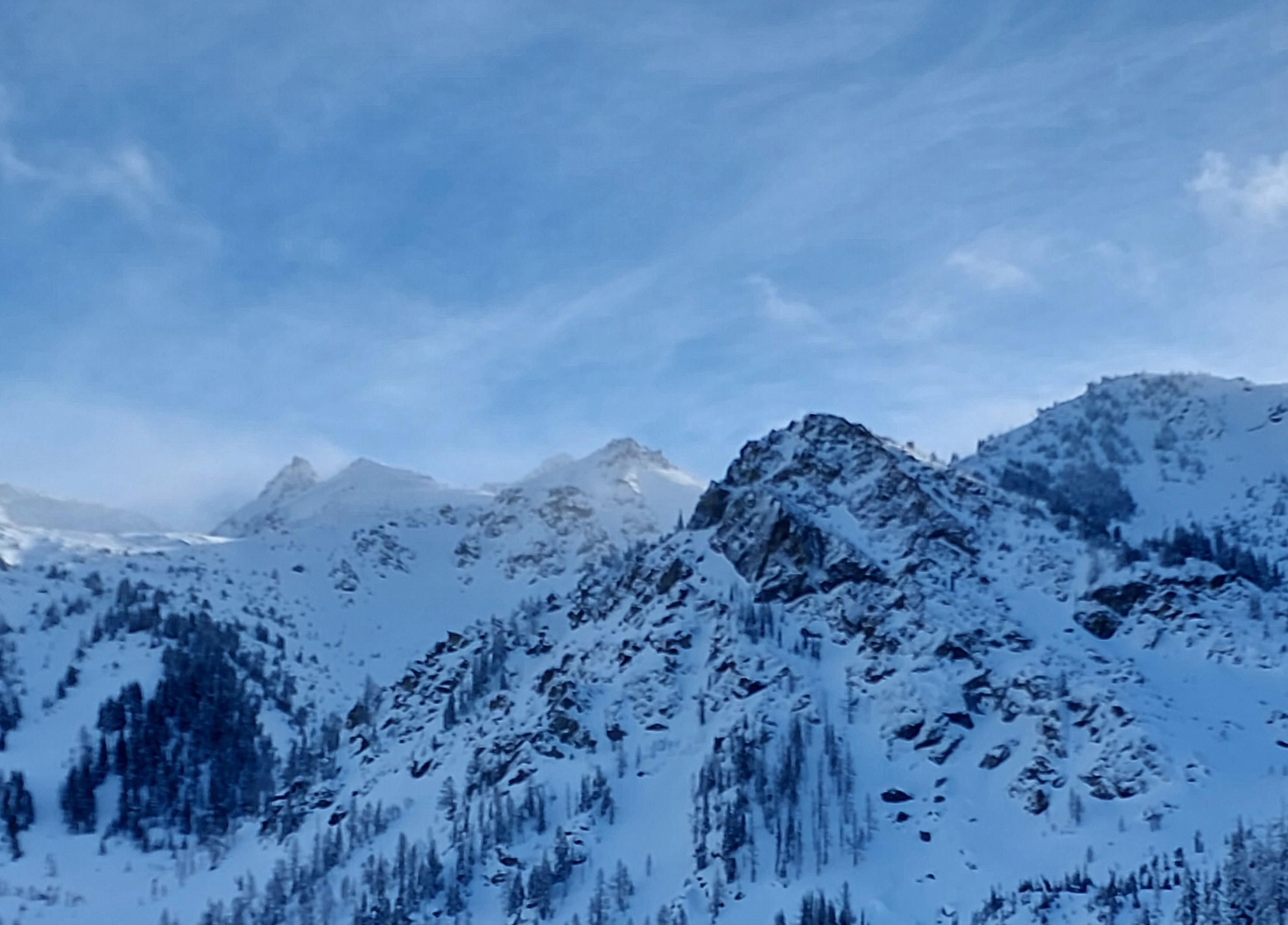
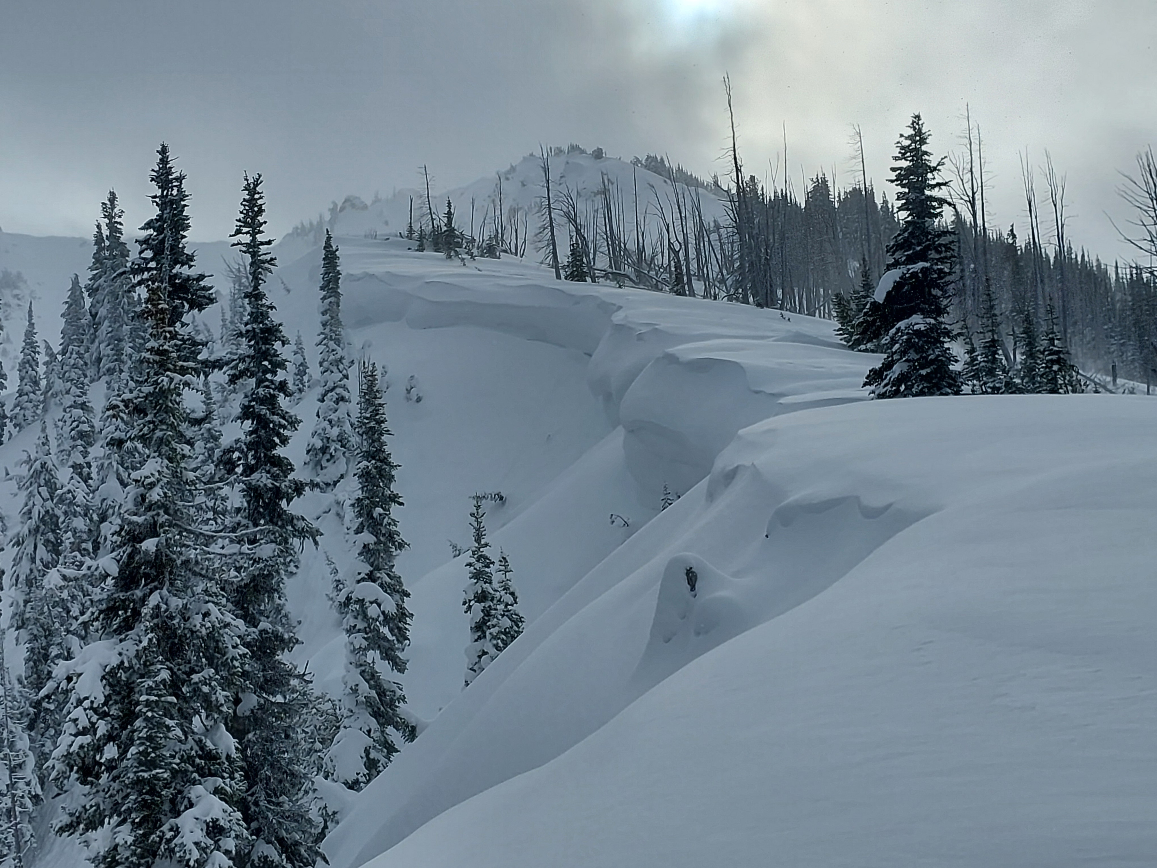
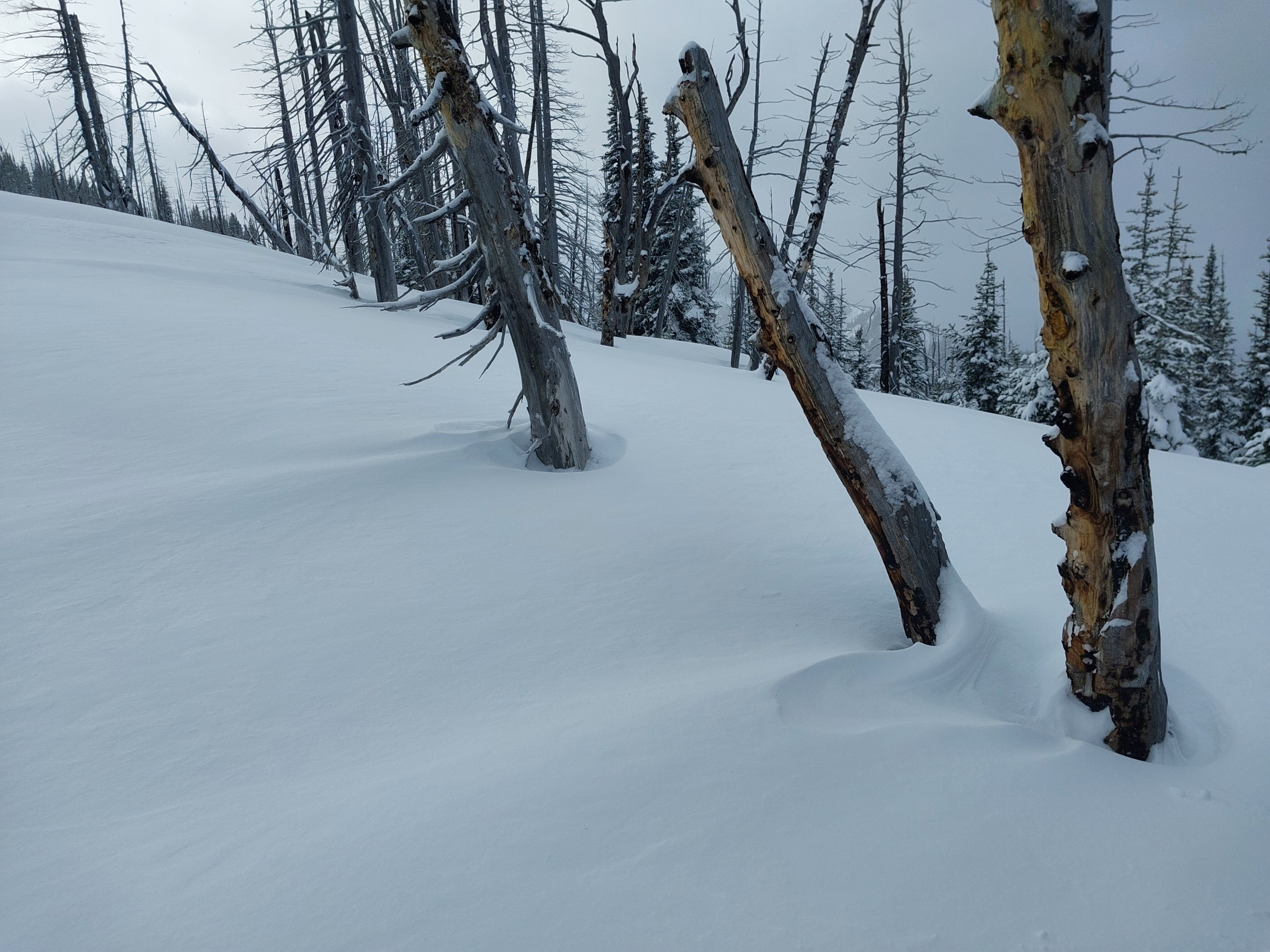
Most notable today was the strong winds and significant blowing snow at upper elevations. We found 3-4 feet of snow on the ground with just enough soft snow over the most recent crust to improve travel and create some wind slab hazard. We didn't find any other significant signs of instability or concerning layers in the snowpack.
On leeward slopes: minor cracking. We triggered a very small pocket of snow on a turn (6,600ft, NE, ~38*) that only slid ~5ft.Weather
- Air Temp
- 27
- Cloud Cover
- broken
- Wind Loading
- moderate
- Recent Snowfall
- 13
- Snow Avail For Transport
- moderate amounts
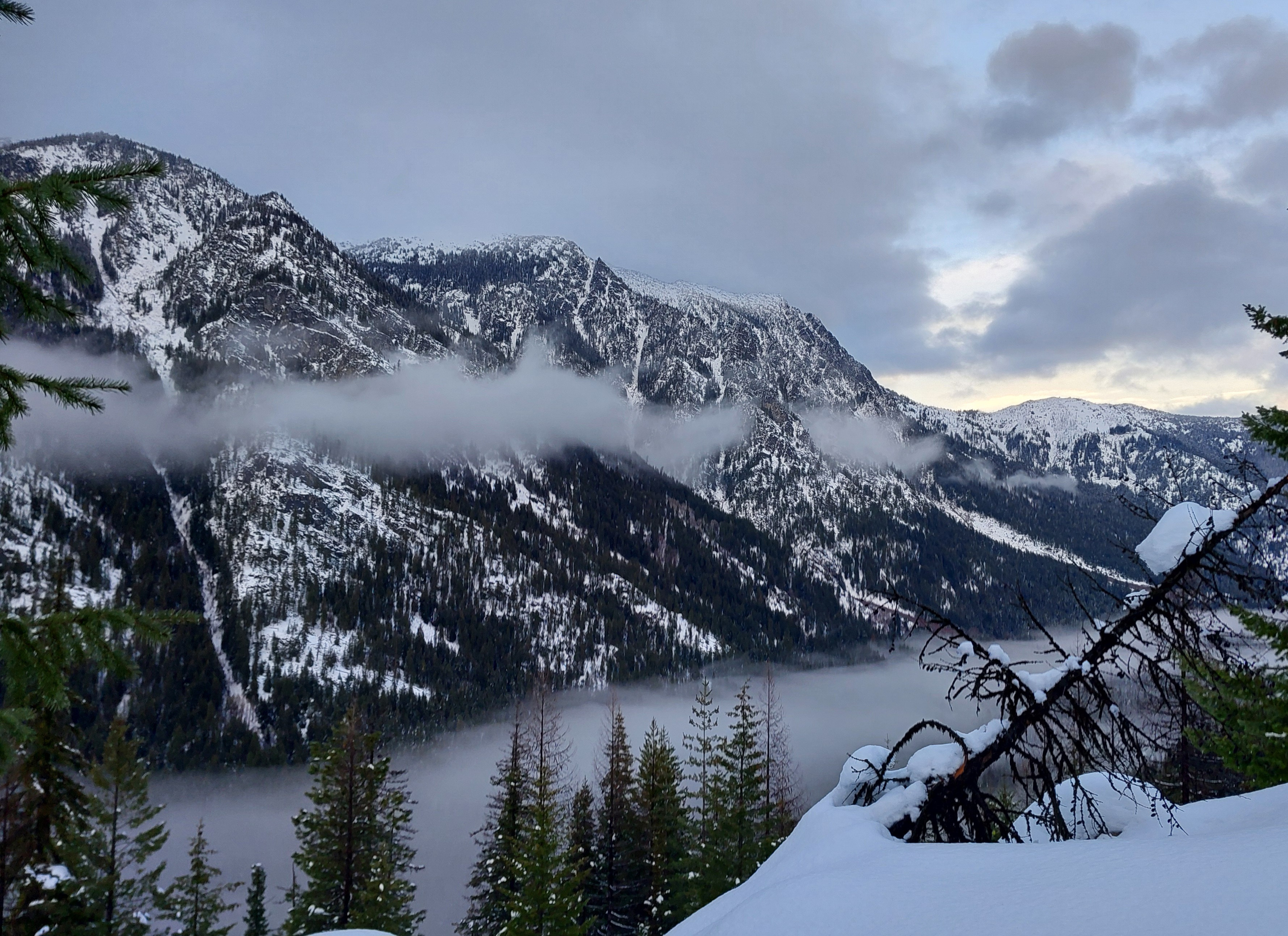
AM: Obscured skies, S1 snow, temps just below freezing up to 4,500ft. At 7:30a, 2,100ft, air temp was 33F, snowing S1, large rafted flakes. Midday-PM 5-6,800ft: Skies became Few by noon, then increased to Broken clouds in late afternoon. Valley fog settled into Icicle Creek. Strong gusty W-SW wind on ridges w moderate gusts in open terrain down to 5,000ft. Air temp was 23F at 2p, 6,440ft.
Snowpack
Snow Surfaces
Mostly dry, (above 4,000ft) new snow. Windward slopes at upper elevations, and on wind-exposed mid-elevation ridges, were scoured to firm crust (1/2)
Snow Depths:
Above 5,000ft, we consistently found ~4 feet of snow, 130-150cm.
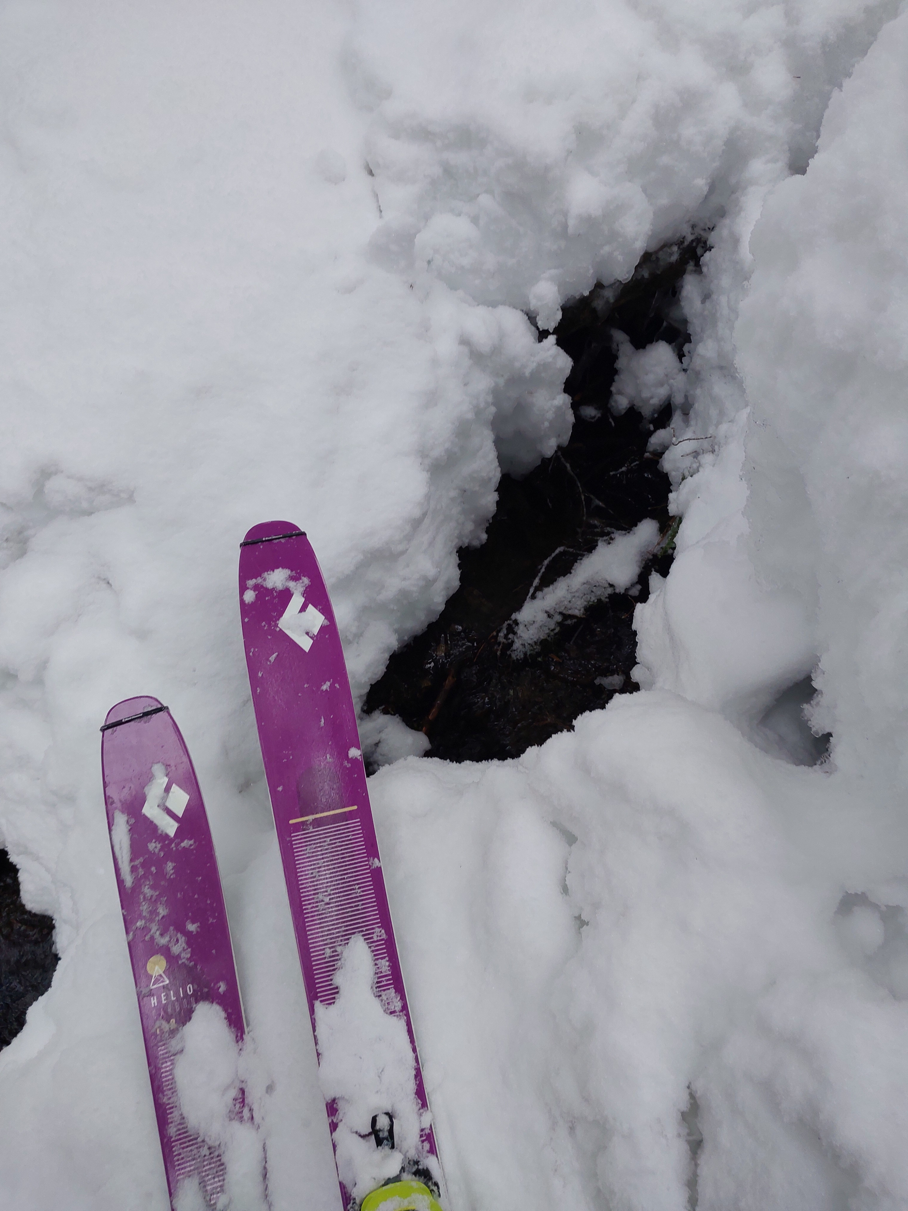
Below 4,000ft the snowpack is under 3 feet.
Snowpack
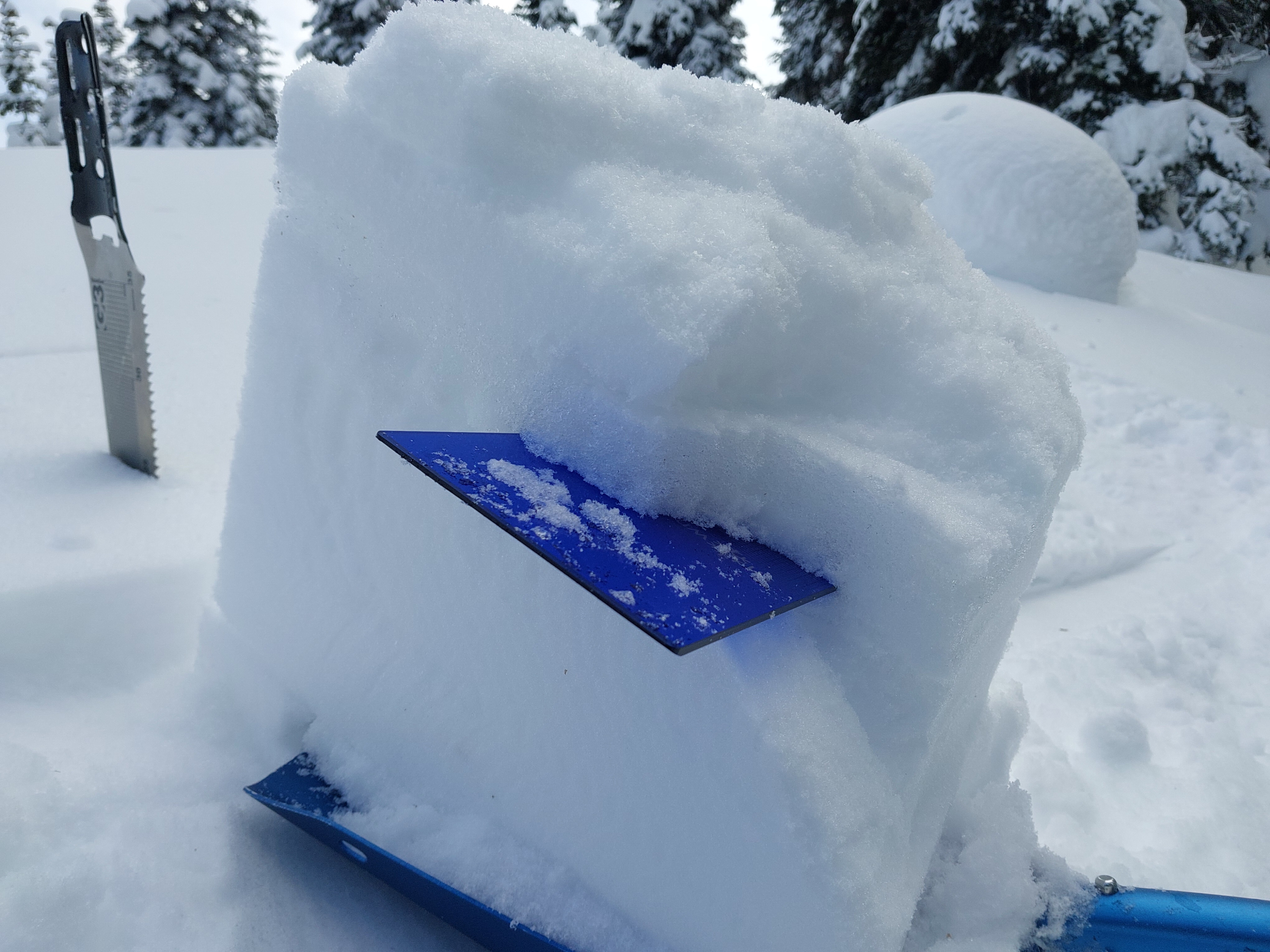
At middle to upper elevations: 13cm of storm snow sits on a 3cm crust, buried Jan 2 and supportive to skis but not boots. Under the crust is a layer of moist rounds. The remainder of the upper to middle snowpack is dry, with rounded grains punctuated by a few minor crusts from December. A stout, knife-hard crust (likely 12/18) is 80-95cm below the surface with various layers of hard melt forms in the bottom 40-50cm to the ground. See profile from 6,450ft.