
Quick report
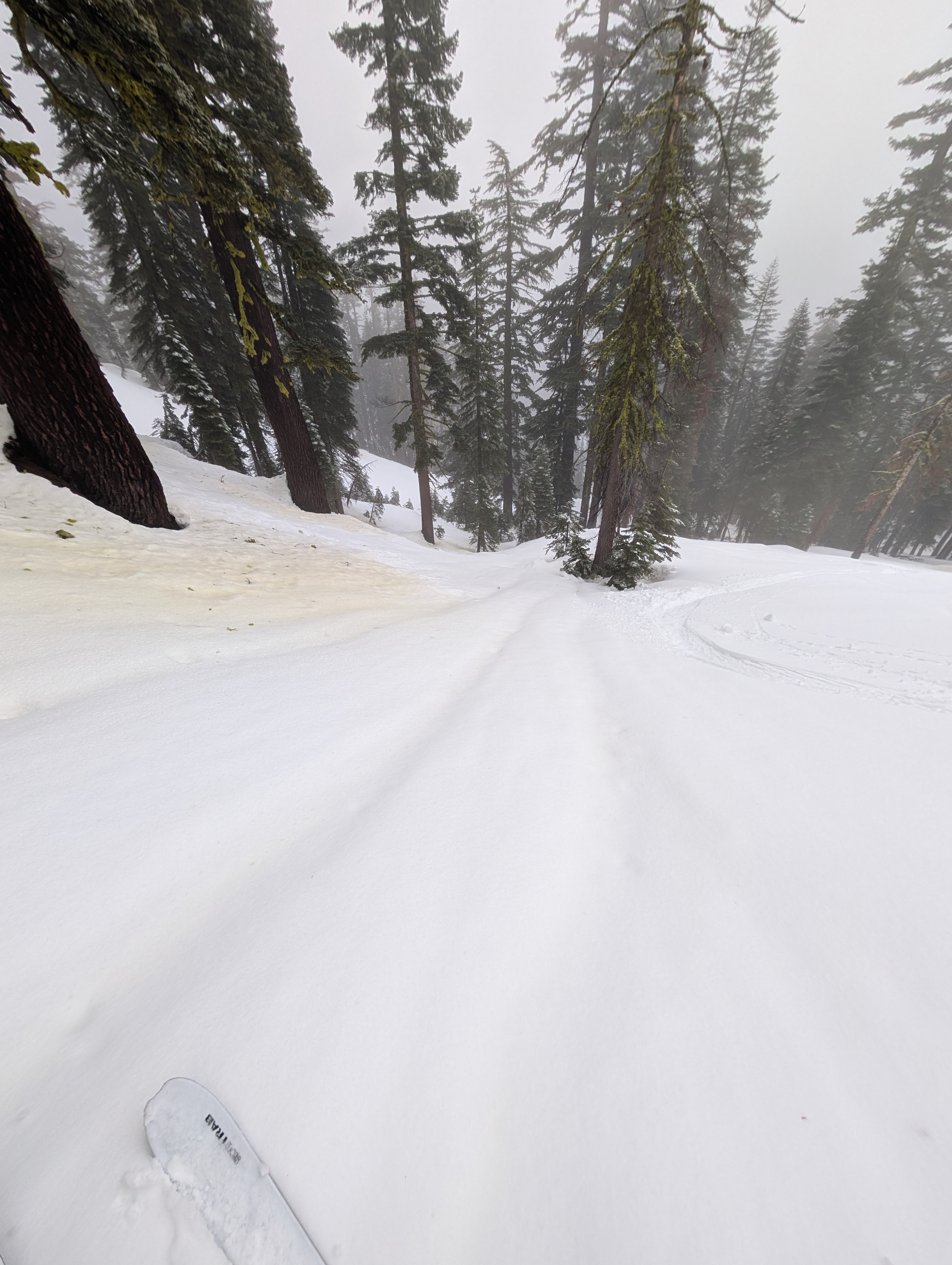
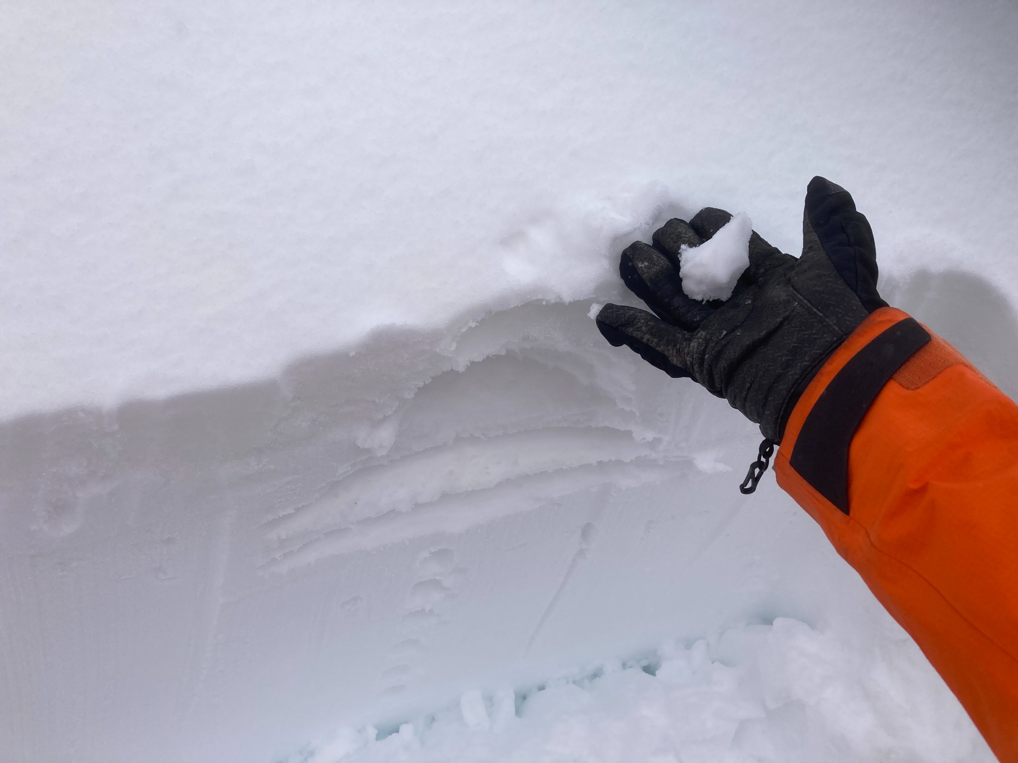
It was not actively raining when we arrived at Andesite, but rain had fallen in this area overnight. It also looked like about half an inch of snow had accumulated before the precipitation switched to rain. The rain and warmth helped soften the previous rain crust, leaving a mix of soft, wet crusts and soft, wet, mushy snow in the top foot of the snowpack. Below the wet snow, a thick layer of well-bonded snow existed. While the snow surface was softer, it remained variable, with some areas feeling more crusty and others feeling more soft and wet. Above about 8000 ft, more supportable surface snow existed on open wind-exposed slopes.
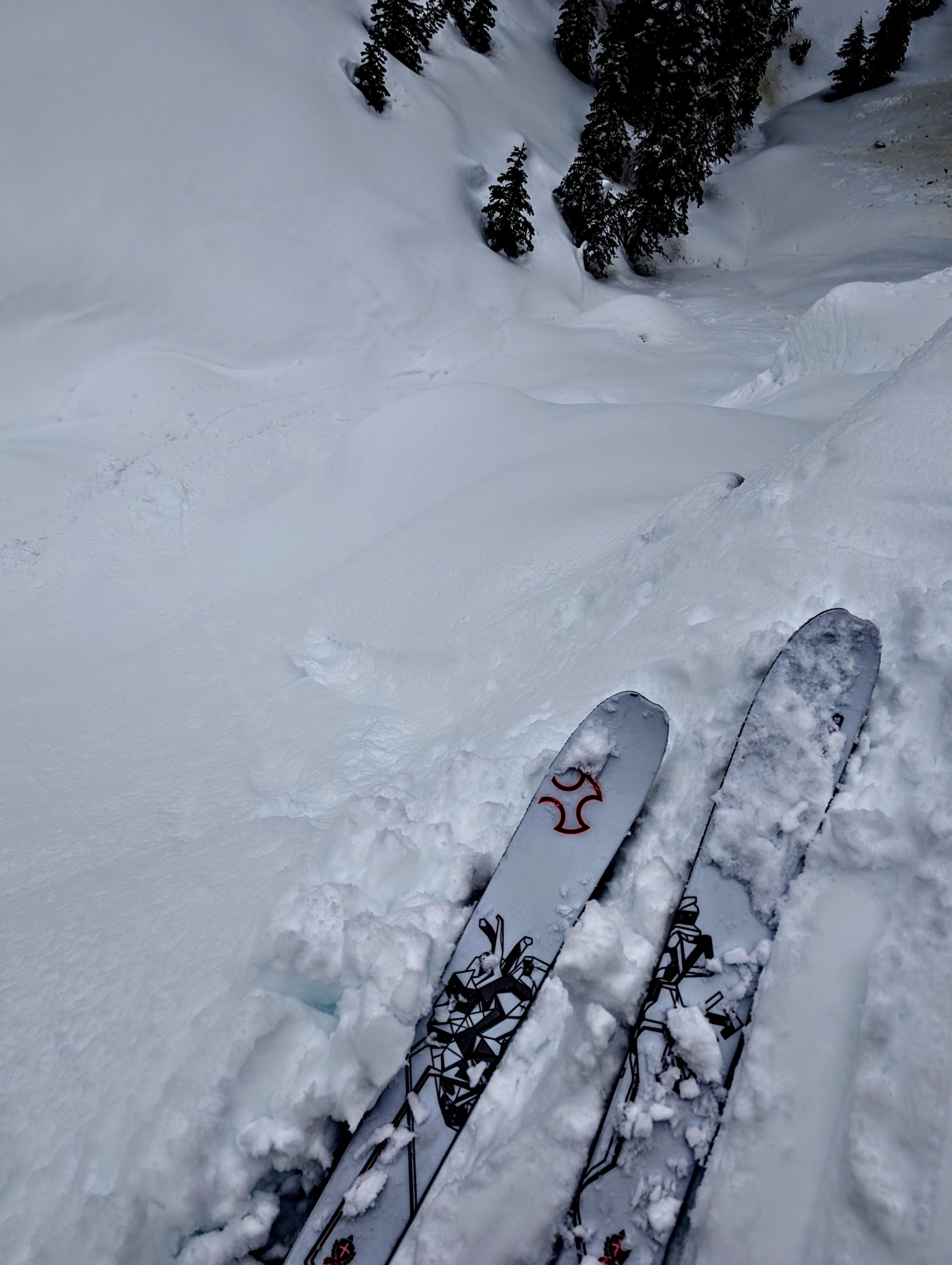
We ski-cut several steep test slopes and dropped cornice pieces on another test slope. Still, none of these actions produced anything more than shallow, minor, and short wet snow sluffs or small roller balls.
Weather
- Air Temp
- 37 °F
- Cloud Cover
- obscured
- Wind Loading
- previous
- Recent Snowfall
- .5 cm
- Snow Avail For Transport
- small smounts
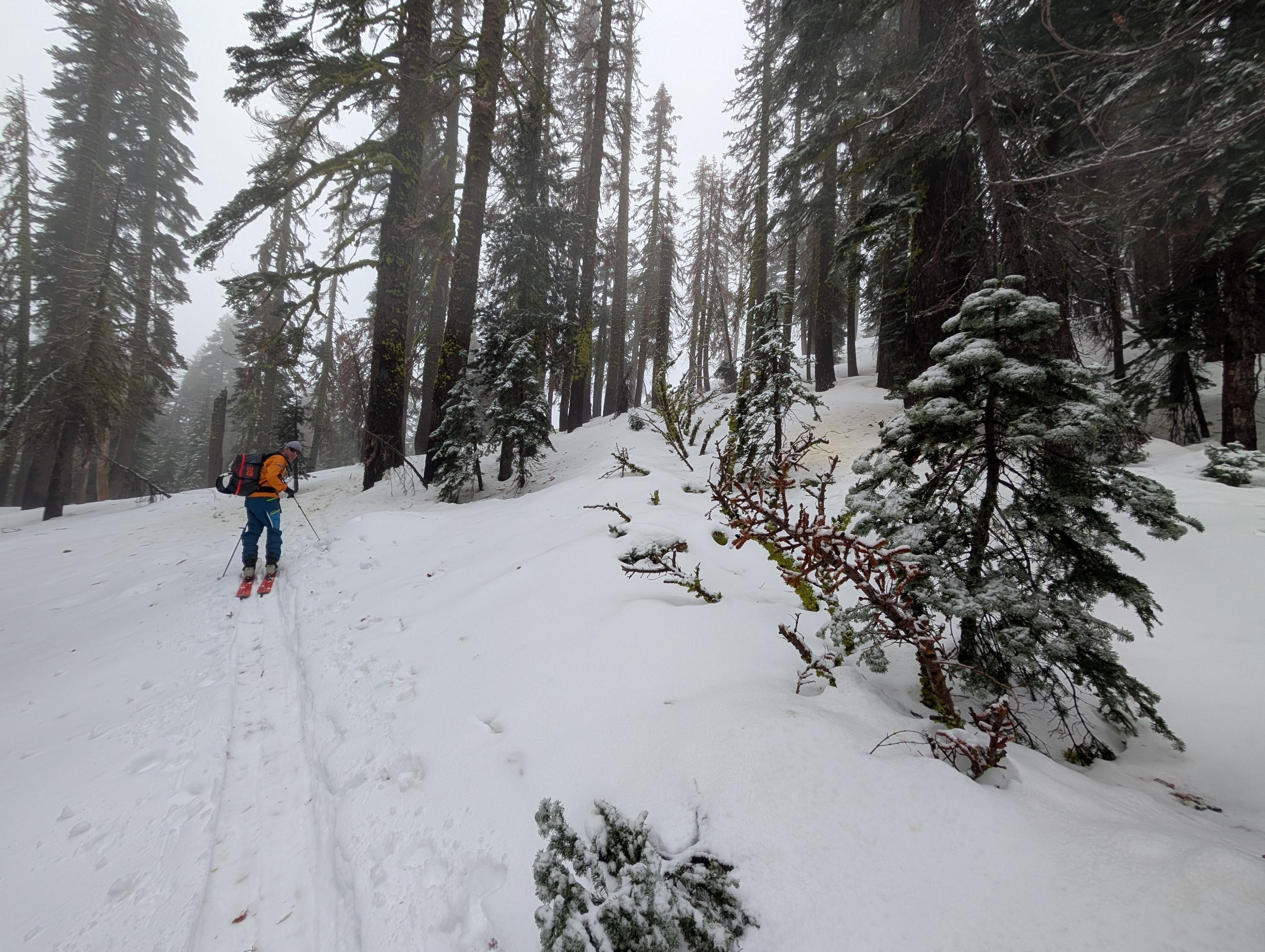
Today was wet and misty on Andesite Peak. The cloud level hovered around 7600 to 7800 ft, and the snow level remained above the summit of Andesite (8200 ft). The low cloud level and mist also reduced the visibility.