
Quick report
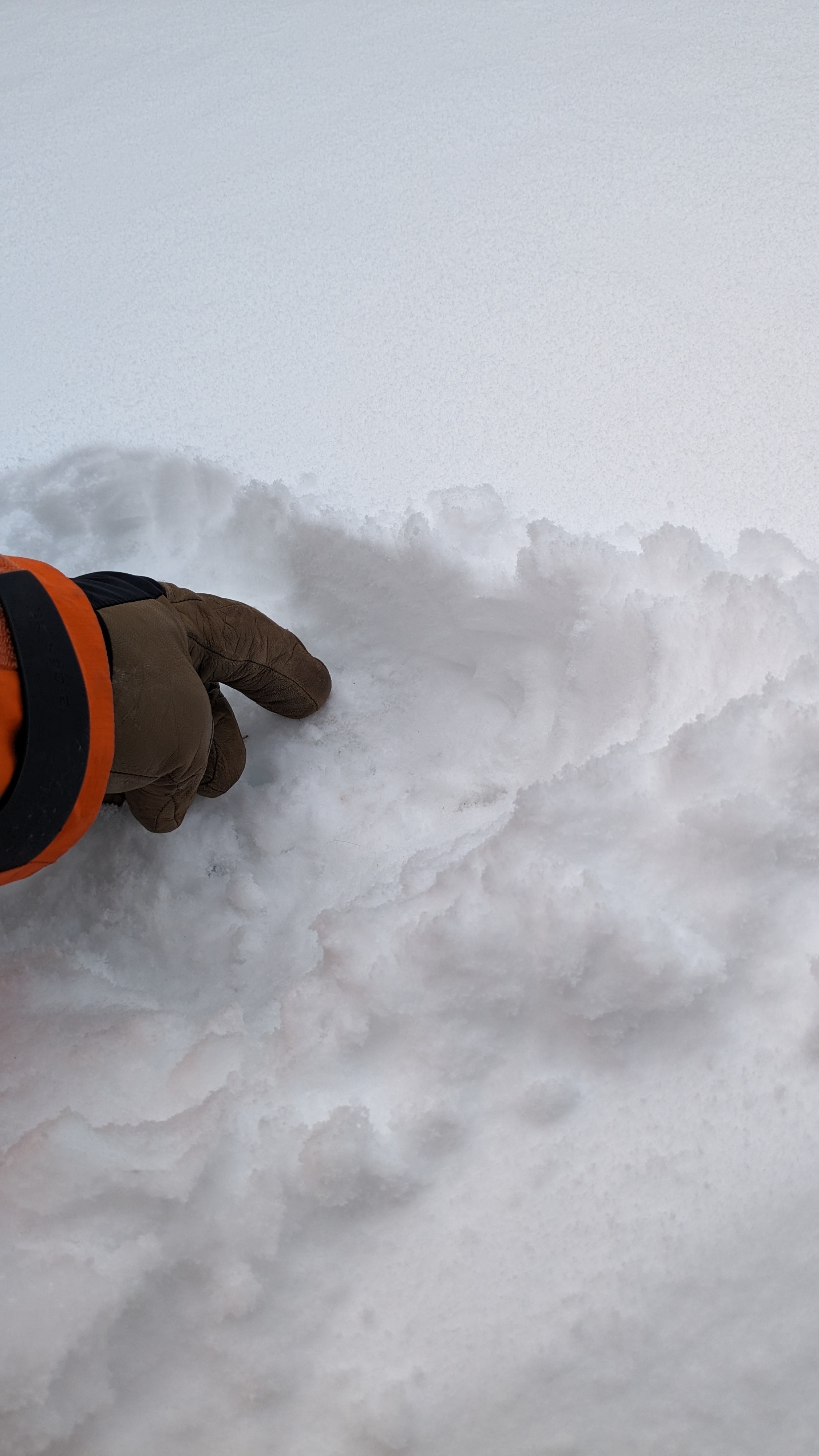
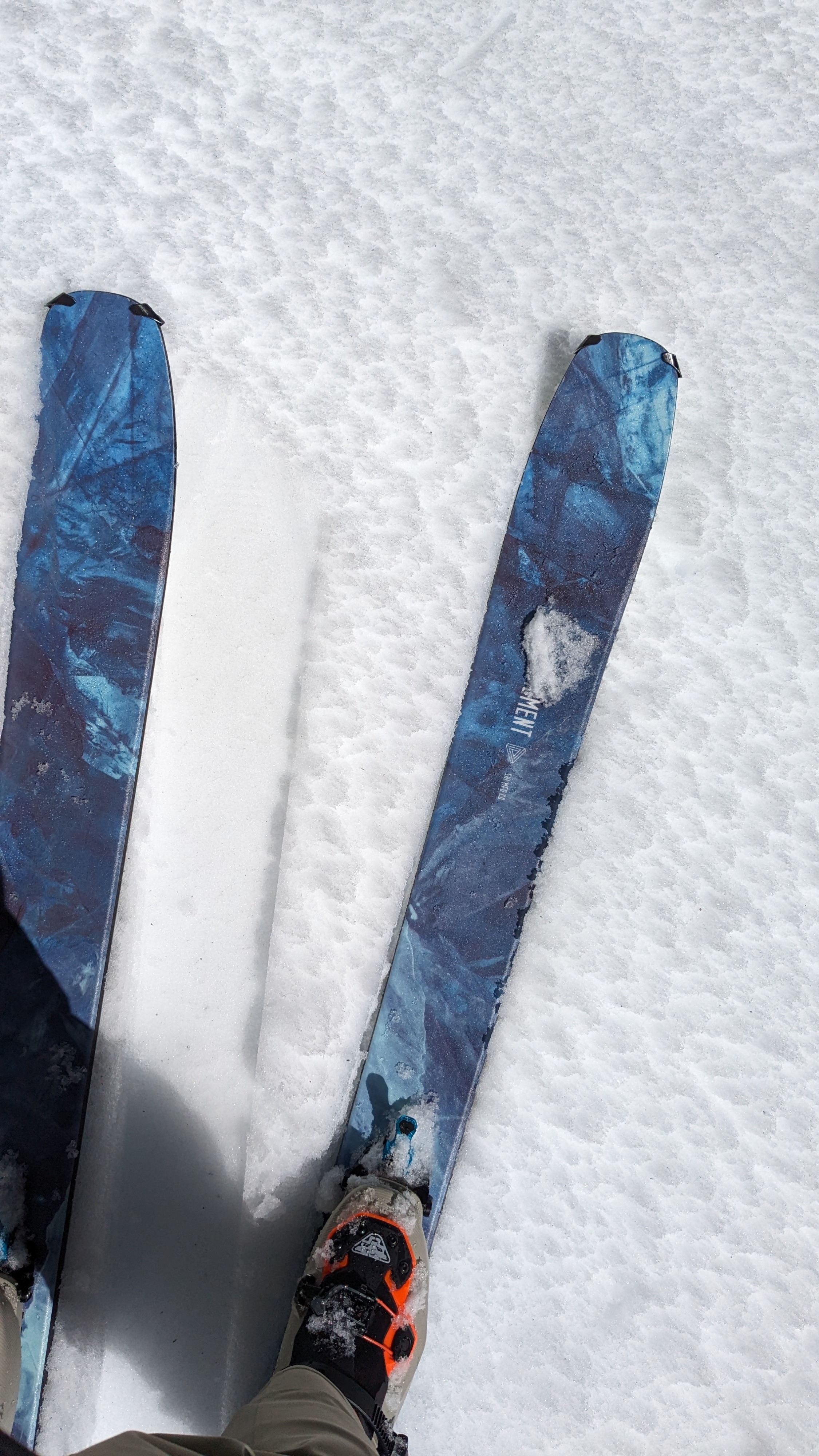
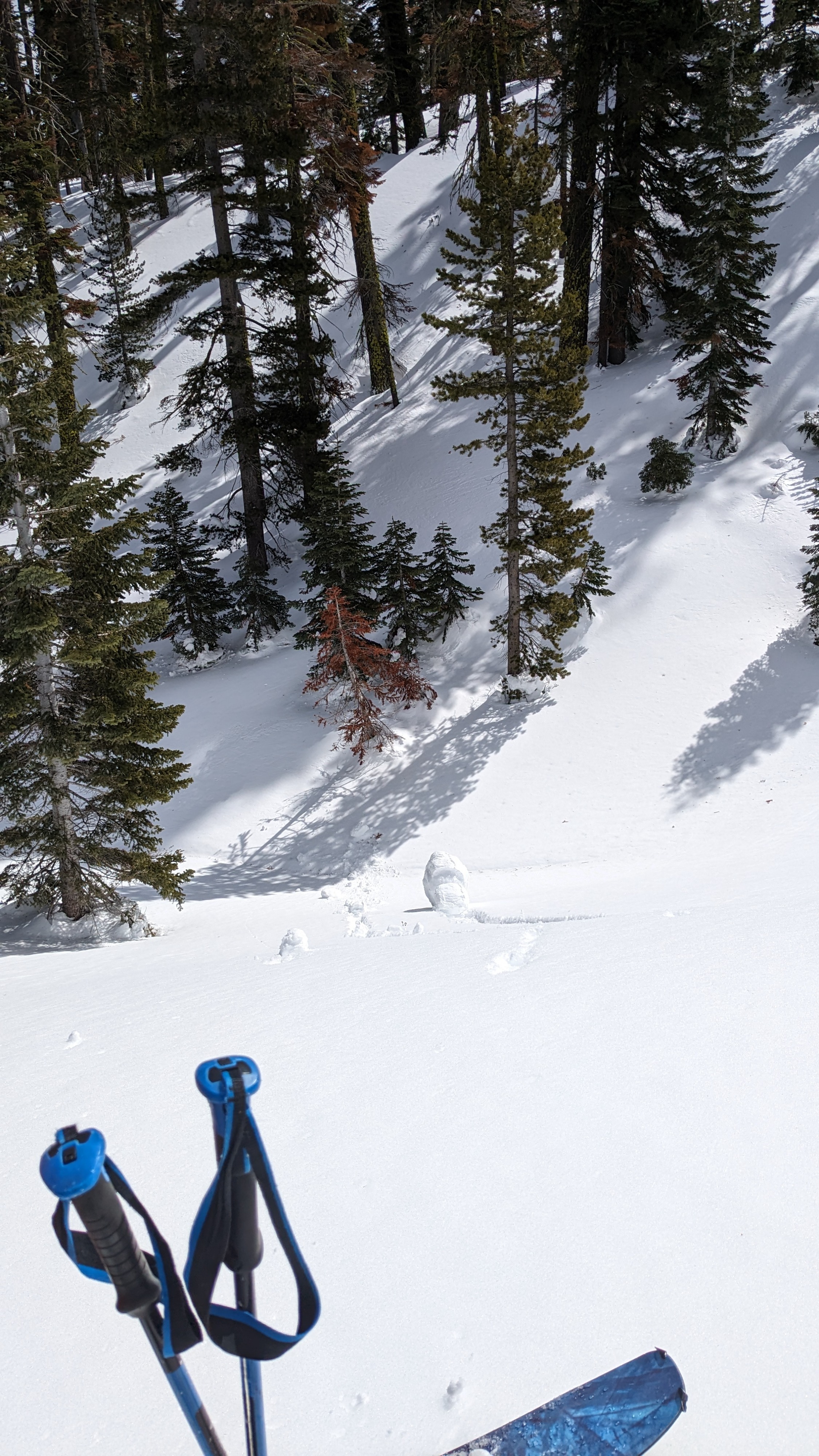
I did an overnight tour into Upper Pole Creek Sunday/Monday. Winds were strong from the SW on Sunday, limiting surface wet snow formation on large, open solar aspect terrain. Increasing cloud cover had refreeze starting on these slopes by 2 pm and the refreeze had progressed substantially by 3 pm with 100% cloud cover. At midday, wind protected solar aspects in below treeline terrain held about 2 inches of surface wet snow and 1 to 2 foot diameter pinwheels were easy to trigger.
Minor amounts of drifting snow were noted off of NW aspects, depositing onto ENE aspects on Sunday.
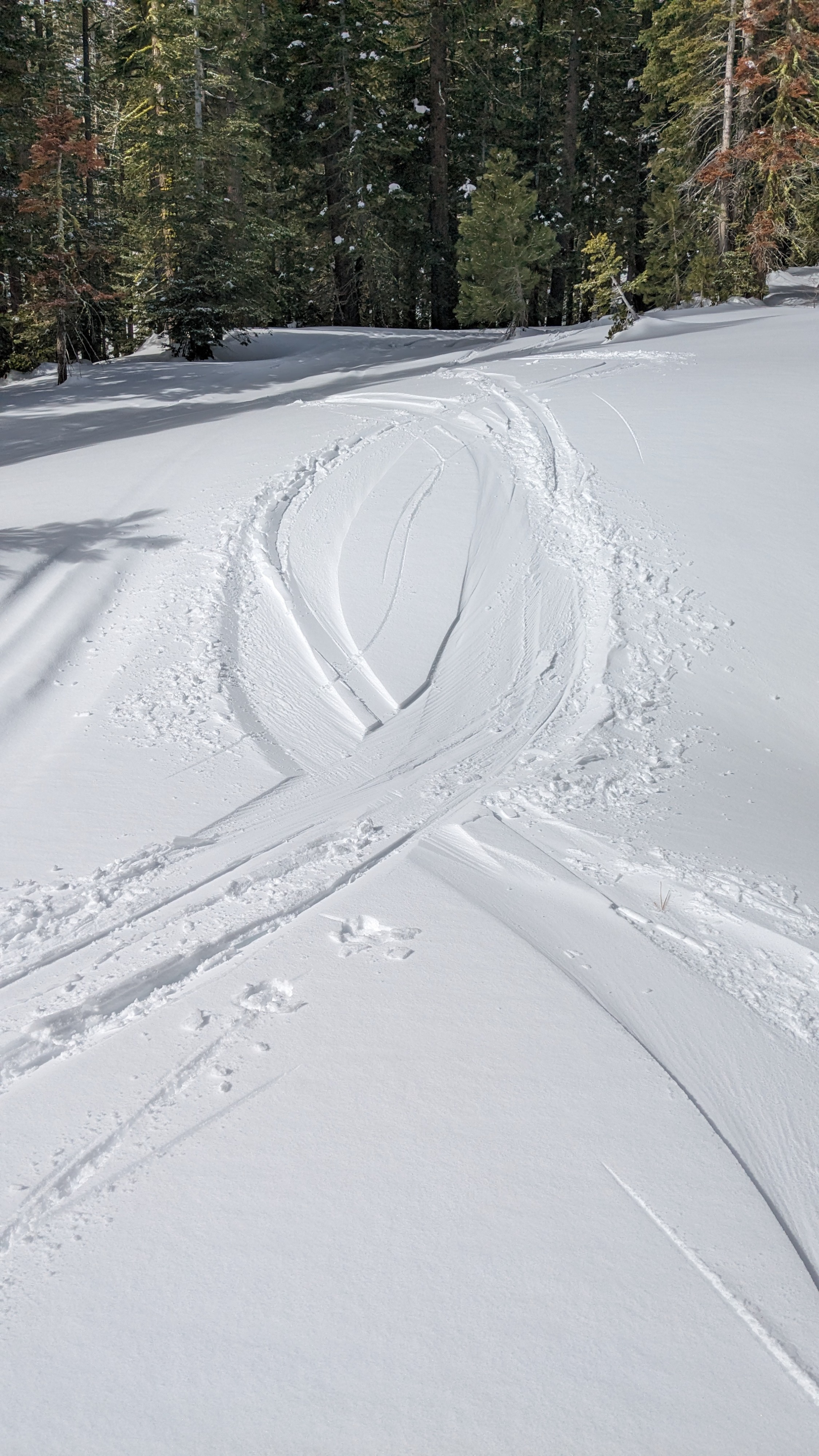
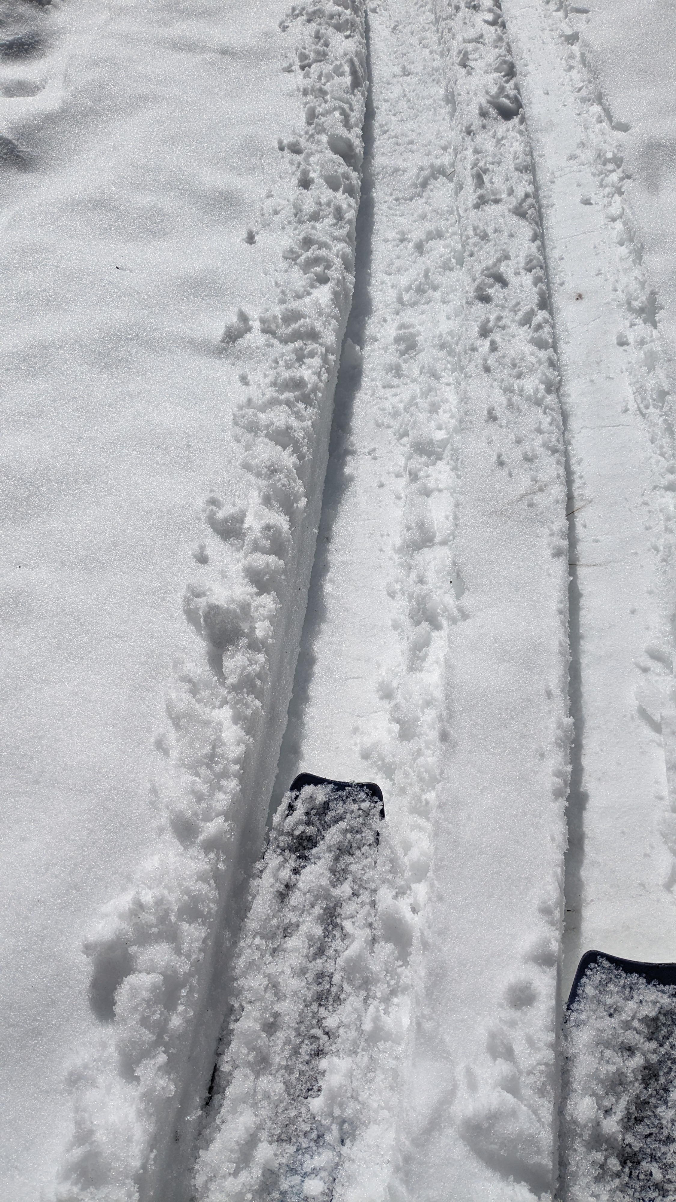
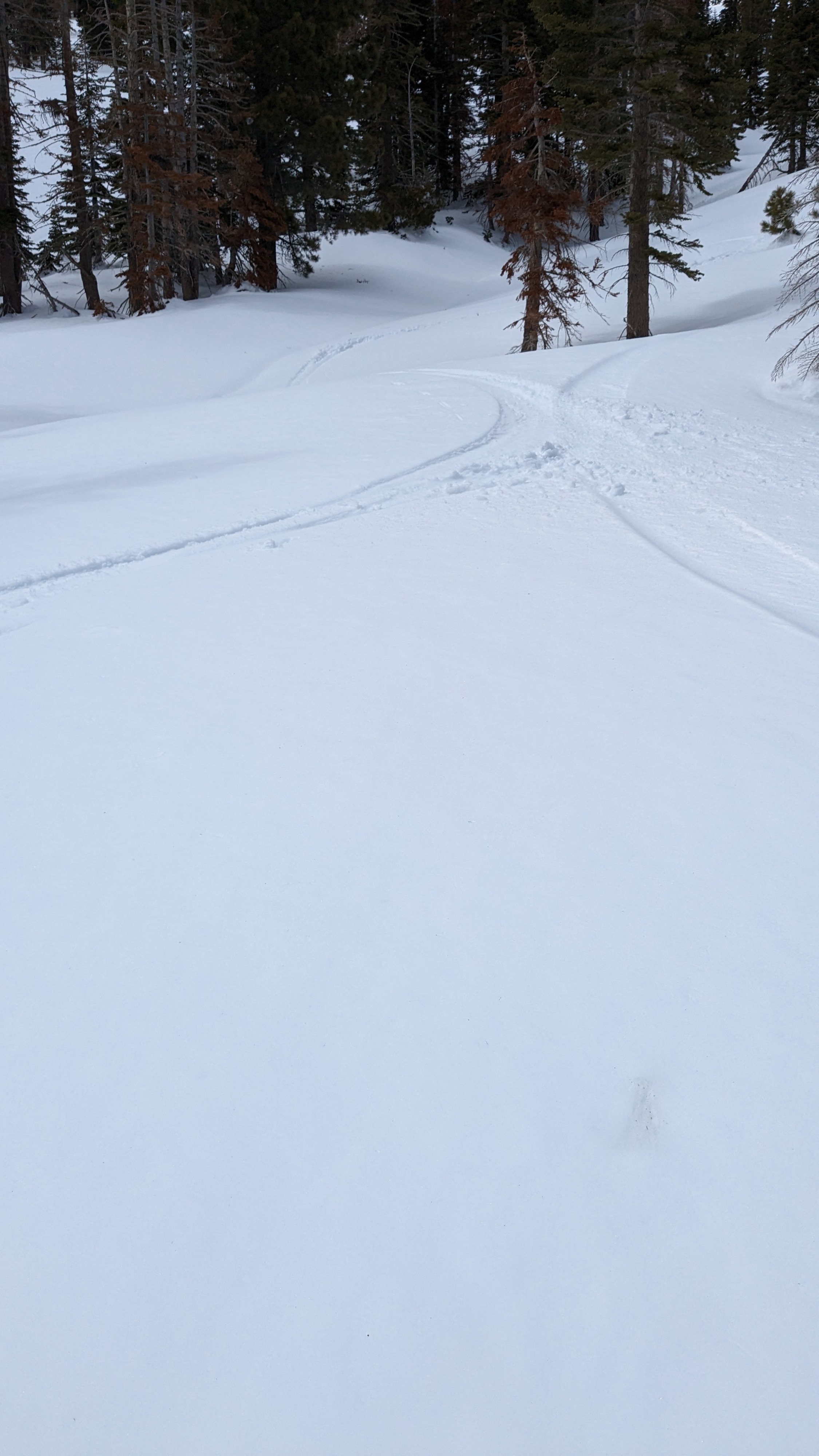
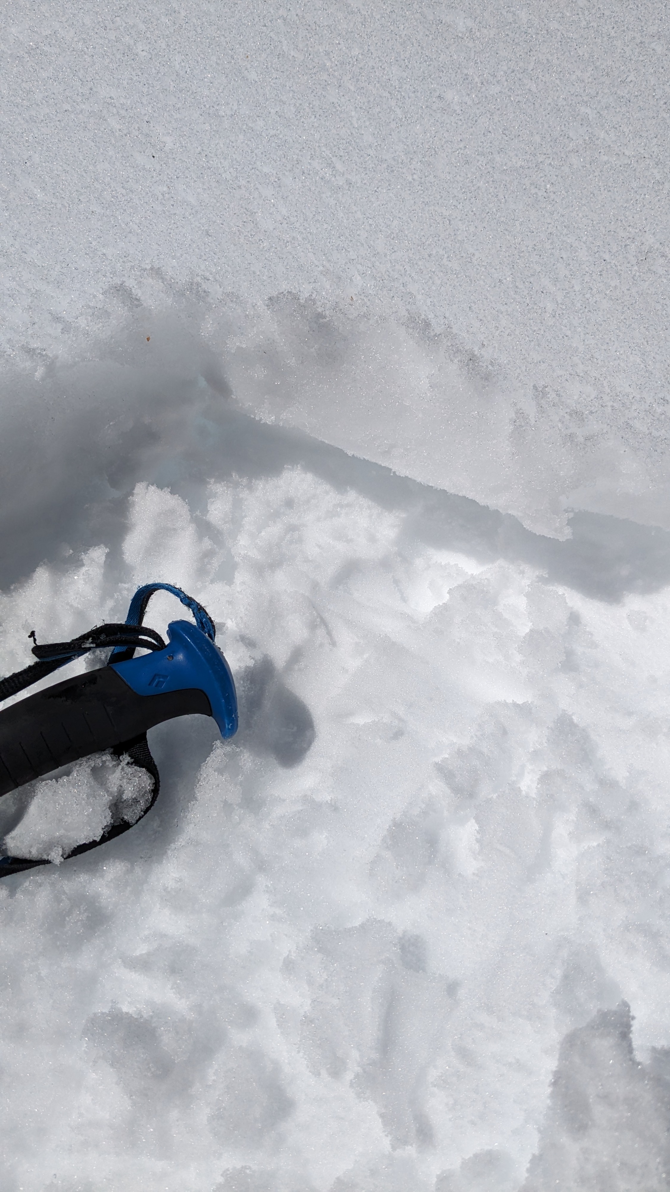
Three inches of new snowfall overnight created supportable dust on crust conditions Monday morning on solar aspects. As we descended to terrain below 6,700', the crust lost supportability due to melt.
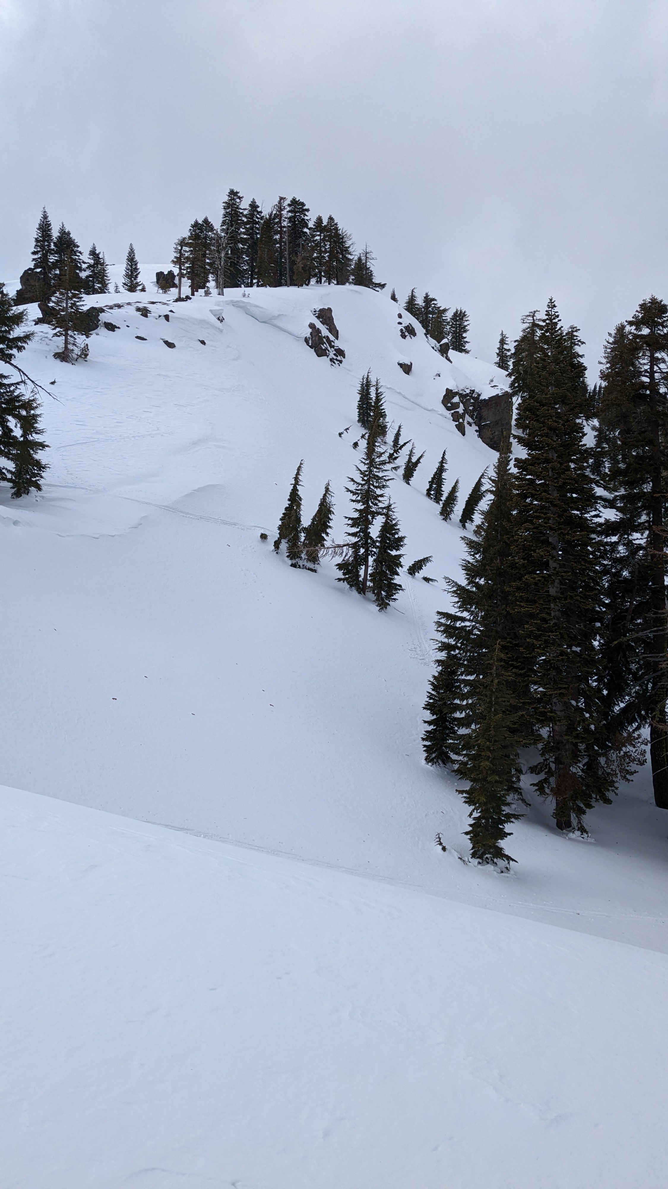
Moderate amounts of drifting snow were noted near cornice features on Monday morning.
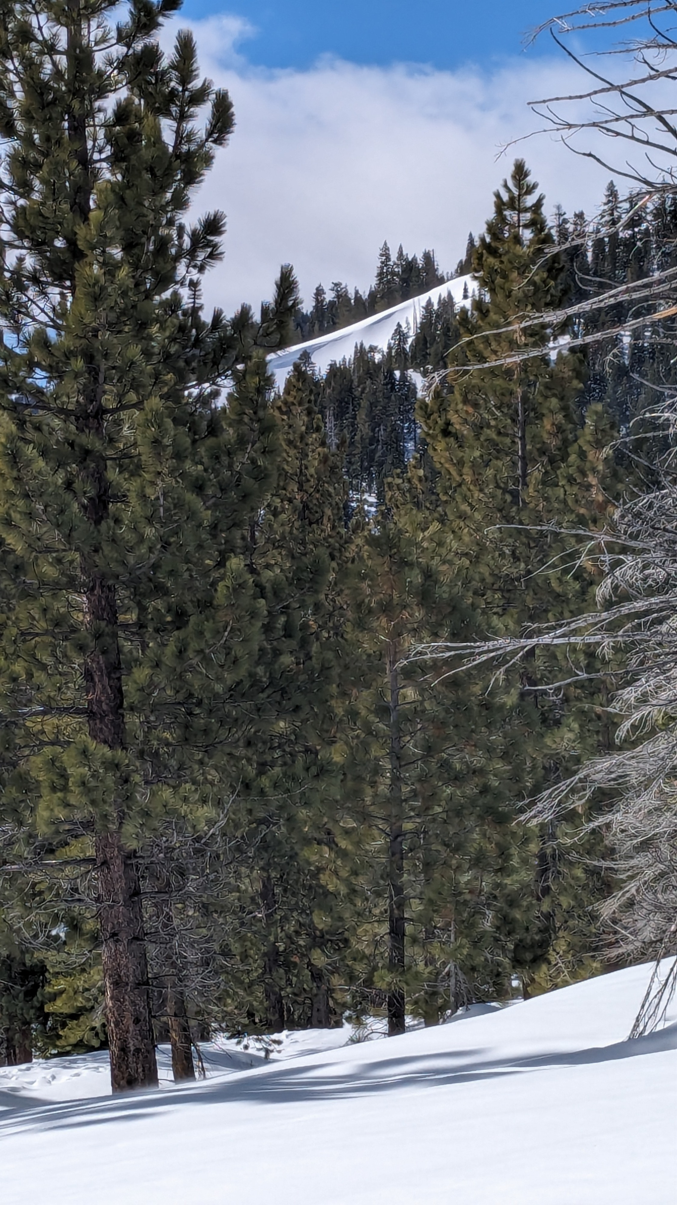
I noted one old crown on the NE side of Deep Creek Peak on Sunday afternoon.
Some drifting snow was observed NTL and ATL Monday morning.Weather
- Recent Snowfall
- 7 cm
Sunny skies and above freezing air temperatures through the morning hours on Sunday. SW winds were strong all day. Cloud cover had increased substantially by 2 pm and was at 100% sky cover by 3 pm. Snowfall started after 9 pm and continued until about 9 am Monday morning. Strong SW winds occurred during the snowfall event. Skies rapidly cleared after the end of snowfall Monday morning with warming air temperatures.