
Quick report
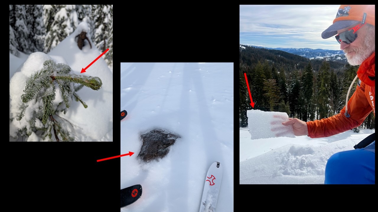
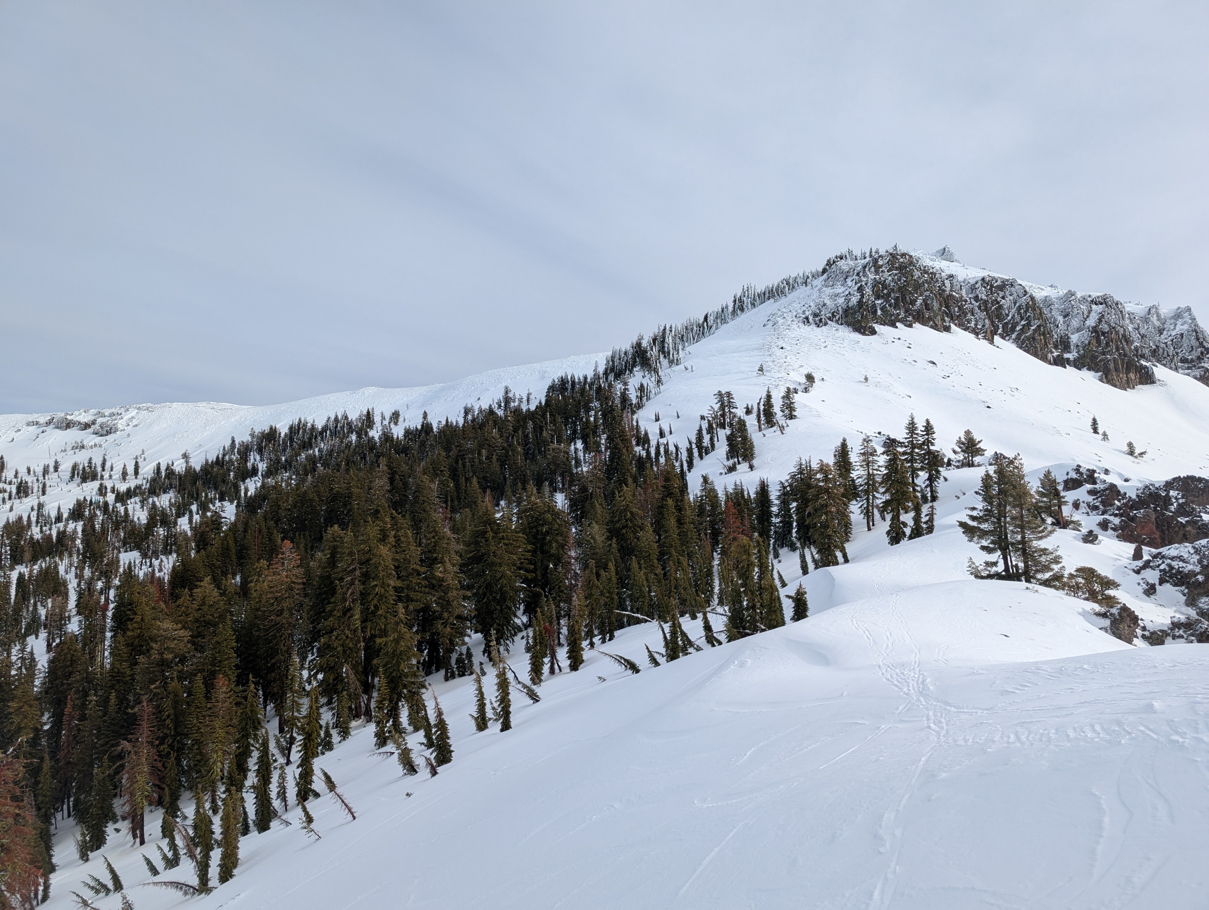
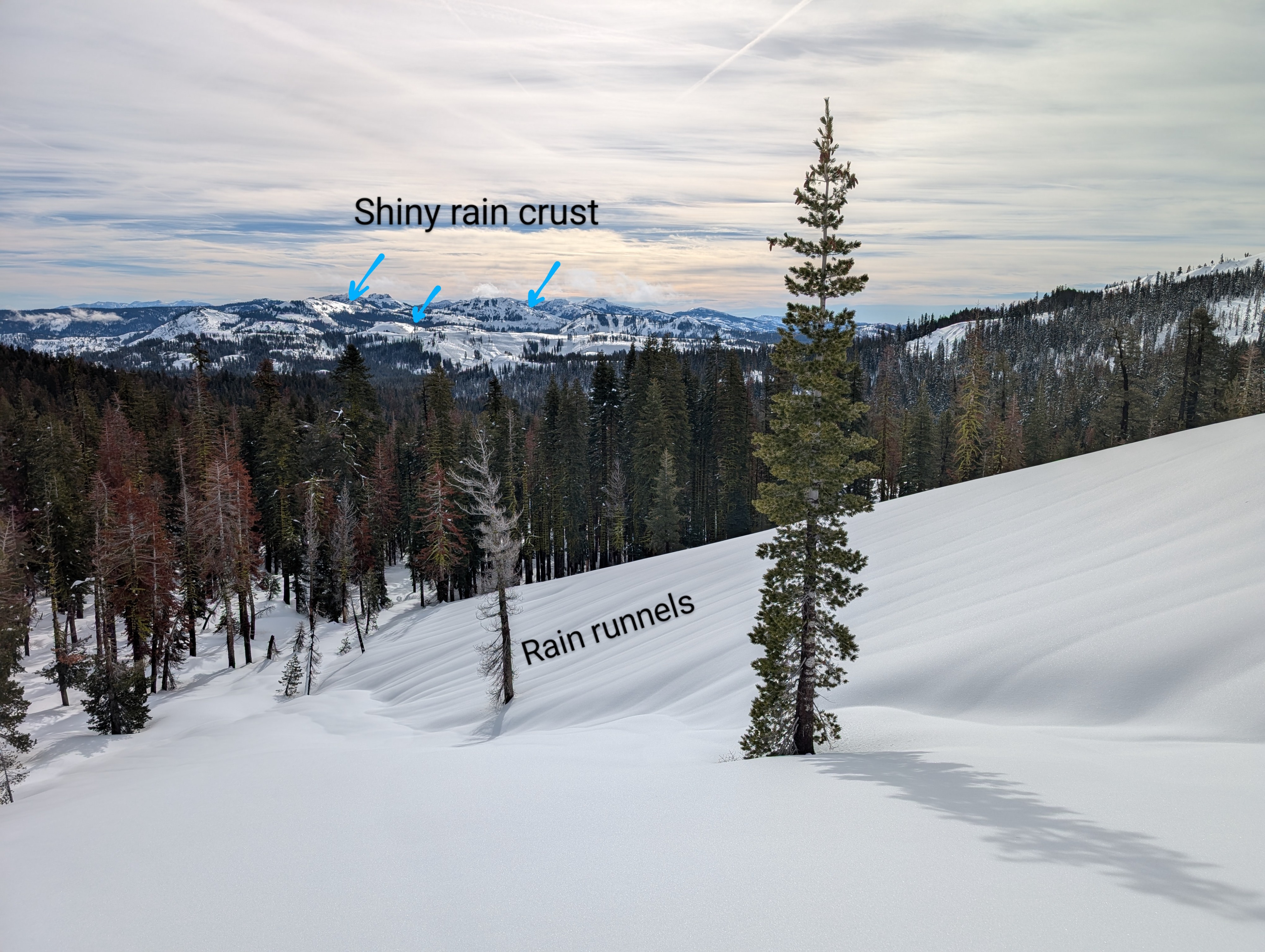
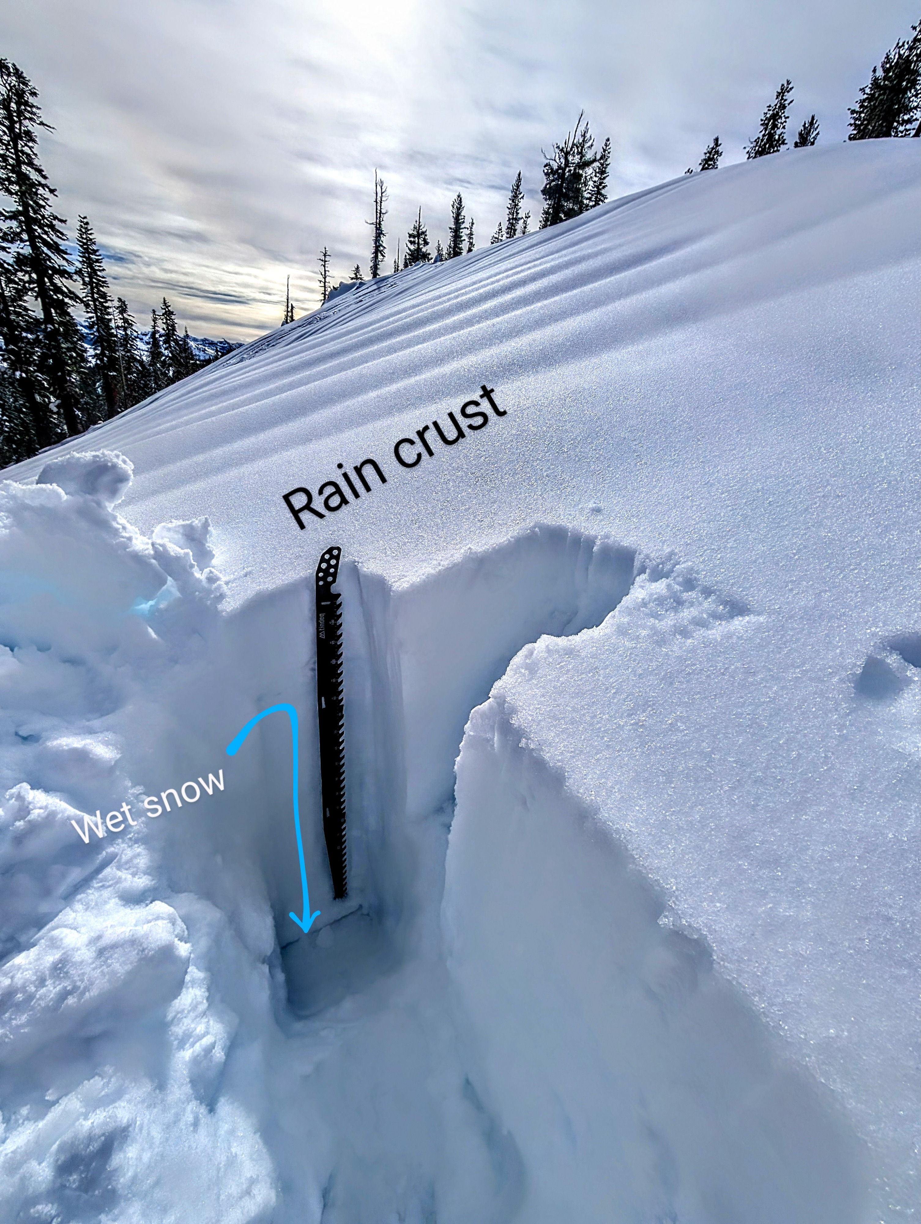
Freezing and regular rain left a thin sheet of ice on every aspect and elevation we visited today. This crust was thin and breakable in most places but hard, icy, and supportable in some areas. We had hoped to get above the rain line at some point, but the frozen rain crust still existed at our high point of 8600 ft. We also talked to another party who reported that the crust went to the top of Castle Peak. A layer of moist snow about 6 to 10 inches deep existed just below the surface rain crust, with another thicker rain crust below. Underneath this second rain crust, several feet of wet snow lingers.
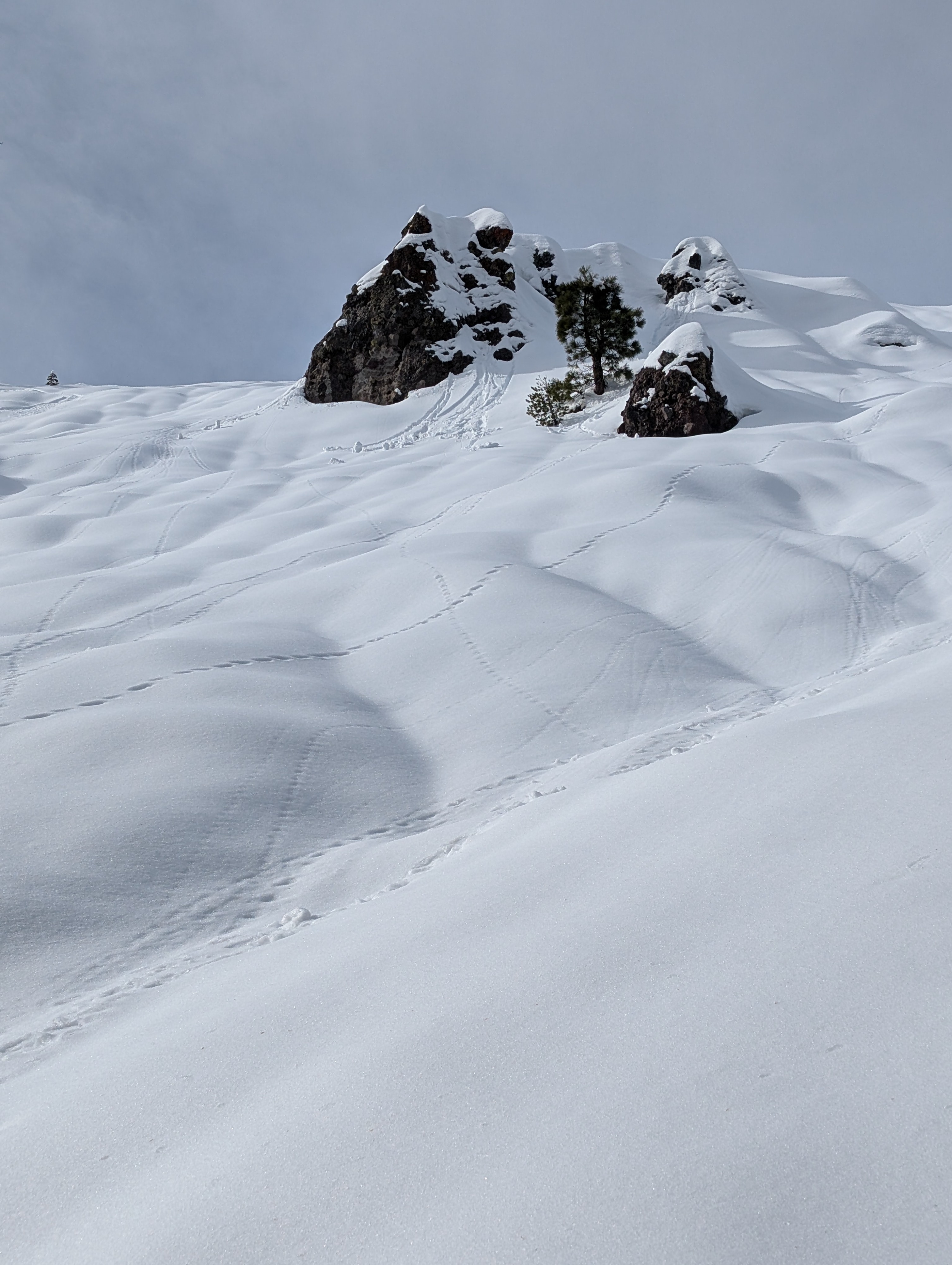
The crust stayed frozen on the northerly aspects, but today's sun and warm temperatures managed to soften it on SE-S-SW aspects by about mid-day. Once the surface crust melted, these sunny slopes held soft, dense, wet snow on top of the older rain crust. We also started to see small roller balls of wet snow near exposed rocks once the surface crust melted.
In areas prone to wind-loading, cornices above test slopes remained fragile. However, when the cornice pieces fell onto the rain-crusted slopes below, they did not trigger any signs of unstable wind slabs.
Weather
- Air Temp
- 40 °F
- Cloud Cover
- scattered
- Recent Snowfall
- Rain
- Snow Avail For Transport
- none
Warm weather with partly sunny to partly cloudy skies.