
Quick report
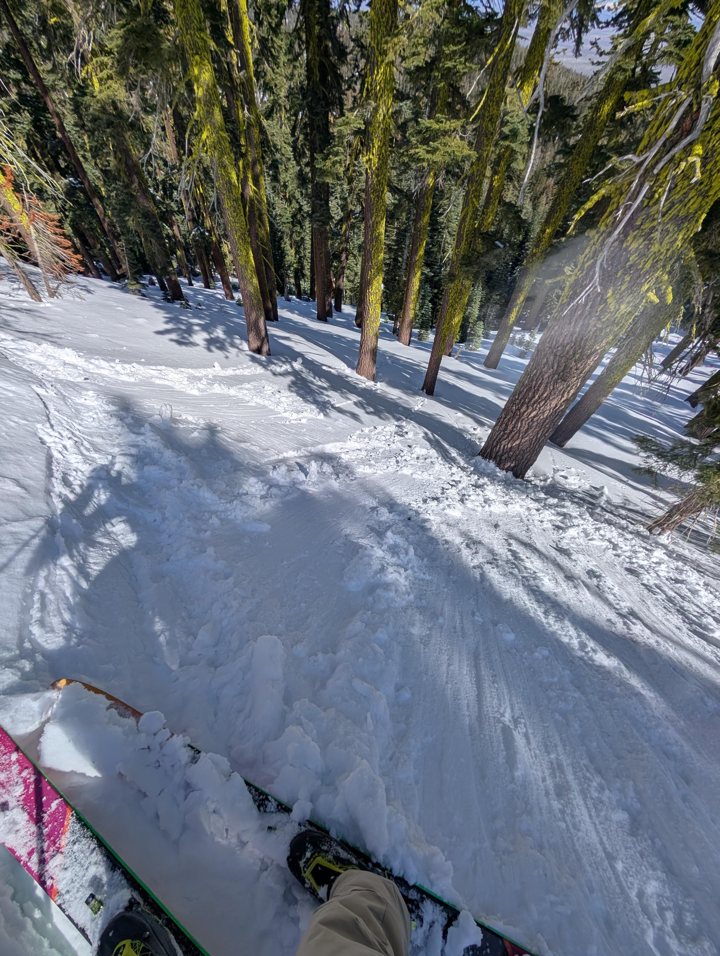
We toured terrain to the south of Yuba Pass today on two different ridge features. We covered NE-E-SE-S-SW aspect terrain between 6,700' and 7,800'. We encountered the expected range of springtime snow surface conditions. On heavily shaded N-NE aspects we encountered cold, unconsolidated snow that had yet to undergo melt. On low angle northerly and some easterly aspects, we encountered breakable crust.
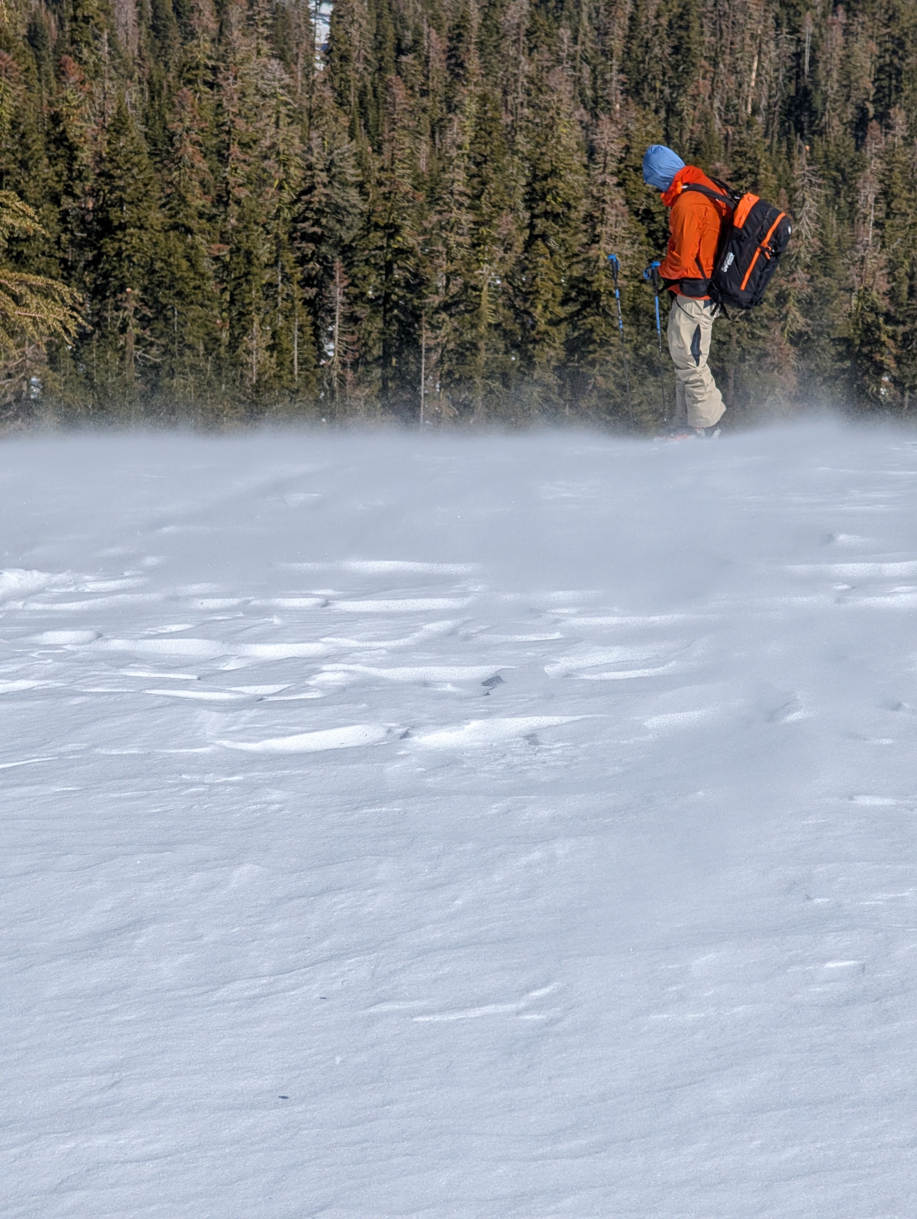
Along the ridgetops, SW winds were drifting small amounts of snow without any significant deposition. The windward side of the ridgetops (SW aspect) were melt-freeze crust with no snow available for transport. The snow that was drifting was scoured from the very top of the ridge or even from the very top of the downwind side of the ridge (NE aspect). This was where the snow on the surface had not experienced any melt during previous melt-freeze cycles.
We encountered wet snow on open sun exposed slopes with protection from the SW wind. At and above treeline, the SW winds were preventing snow surface melt from occurred on S-SW aspects.
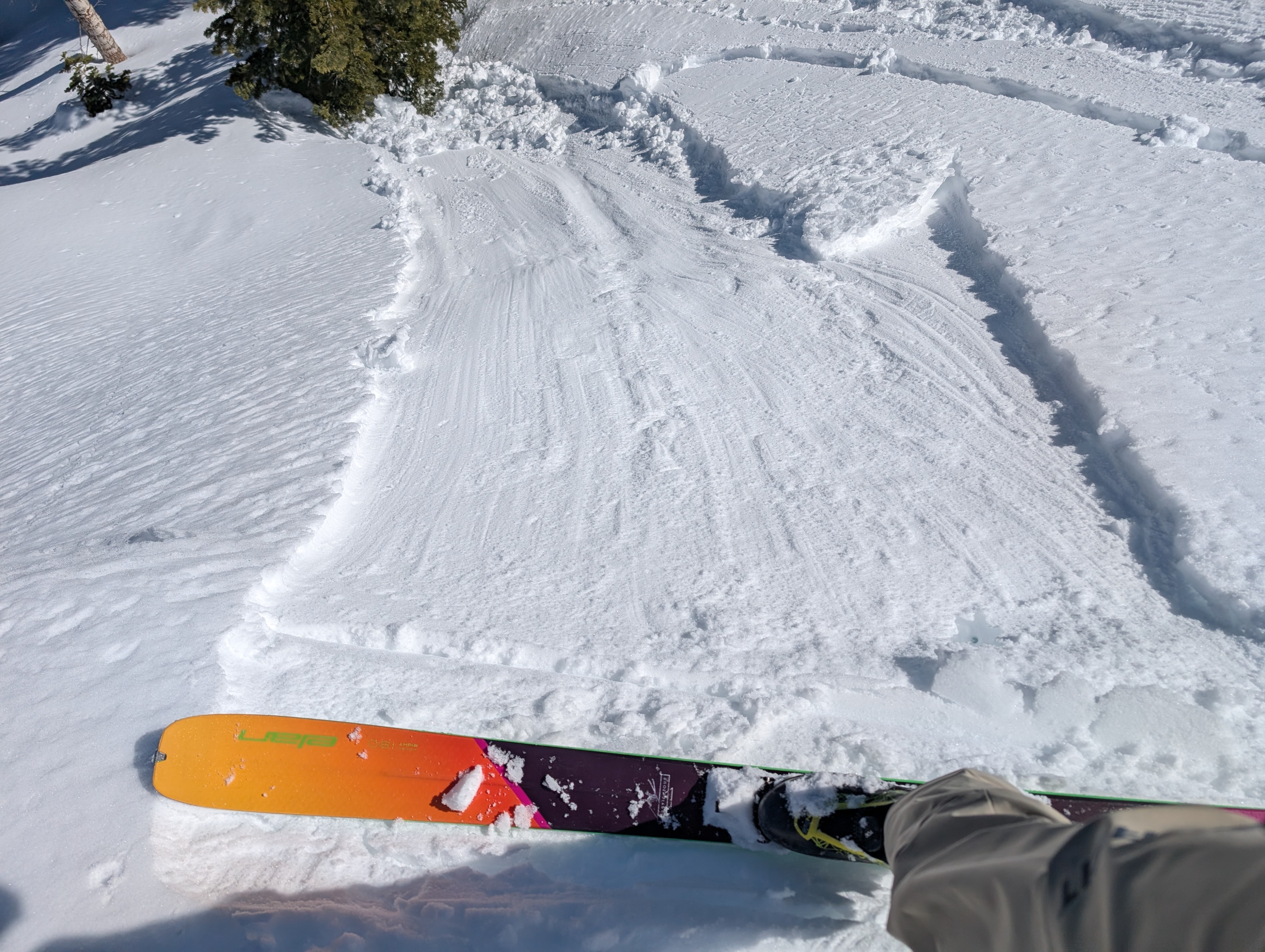
As the day progressed, small (size D1) wet loose avalanches became easy to trigger on E aspect terrain.
Size D1 wet loose avalanches were easy to trigger on E aspect terrain just after midday.Weather
- Cloud Cover
- clear
- Wind Loading
- light
- Snow Avail For Transport
- small smounts
Above freezing air temperatures with moderate speed SW winds over the ridgetops.