
Weather
- Cloud Cover
- clear
- Wind Loading
- none
- Recent Snowfall
- 0
- Snow Avail For Transport
- small smounts
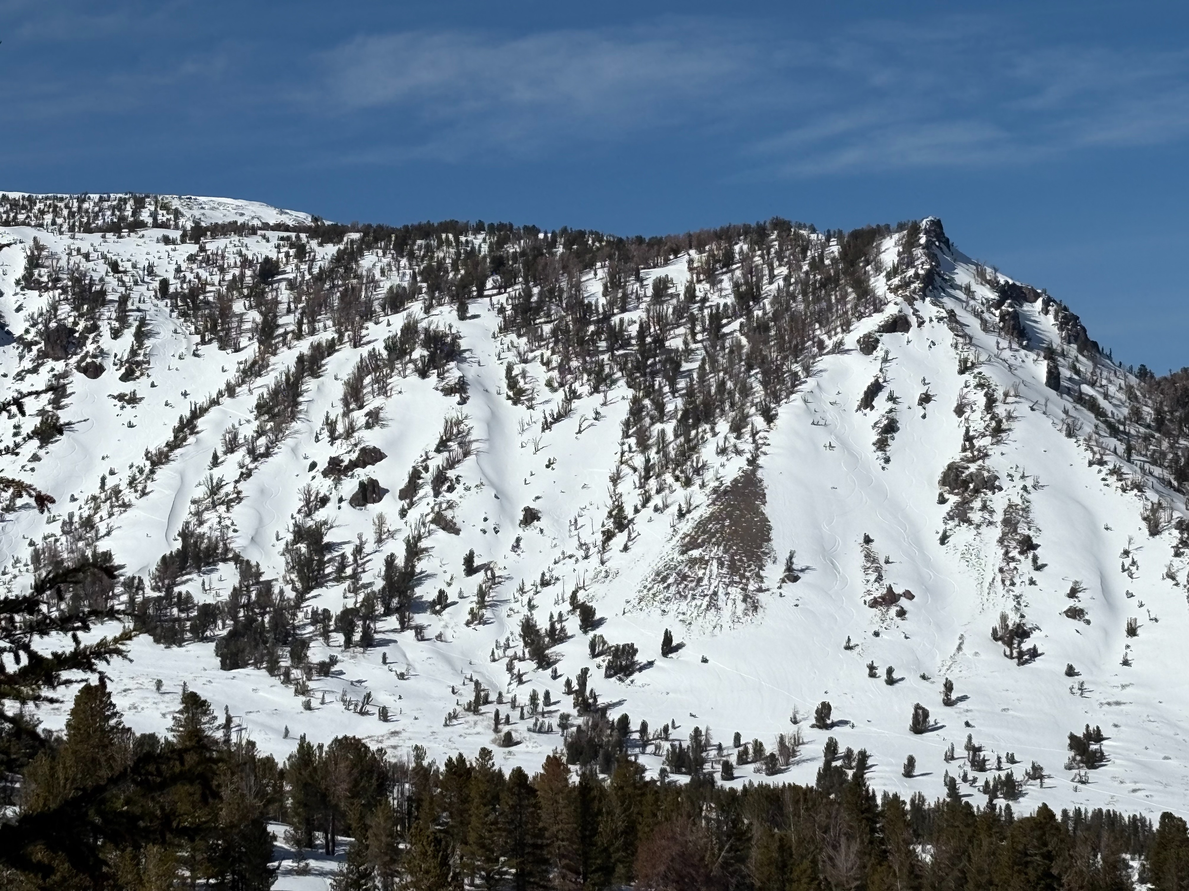
Sunny skies with cool morning temperatures. Winds were mostly light throughout the day.
Snowpack
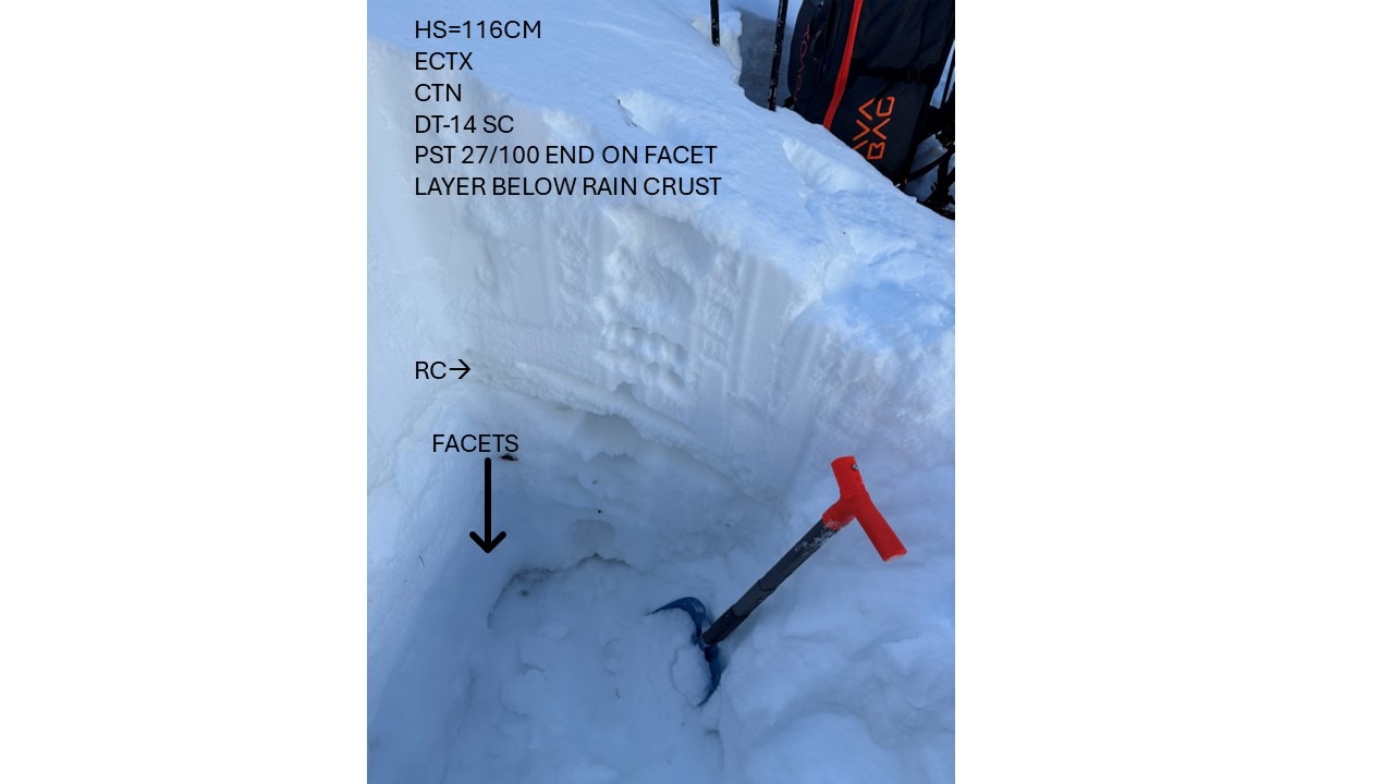
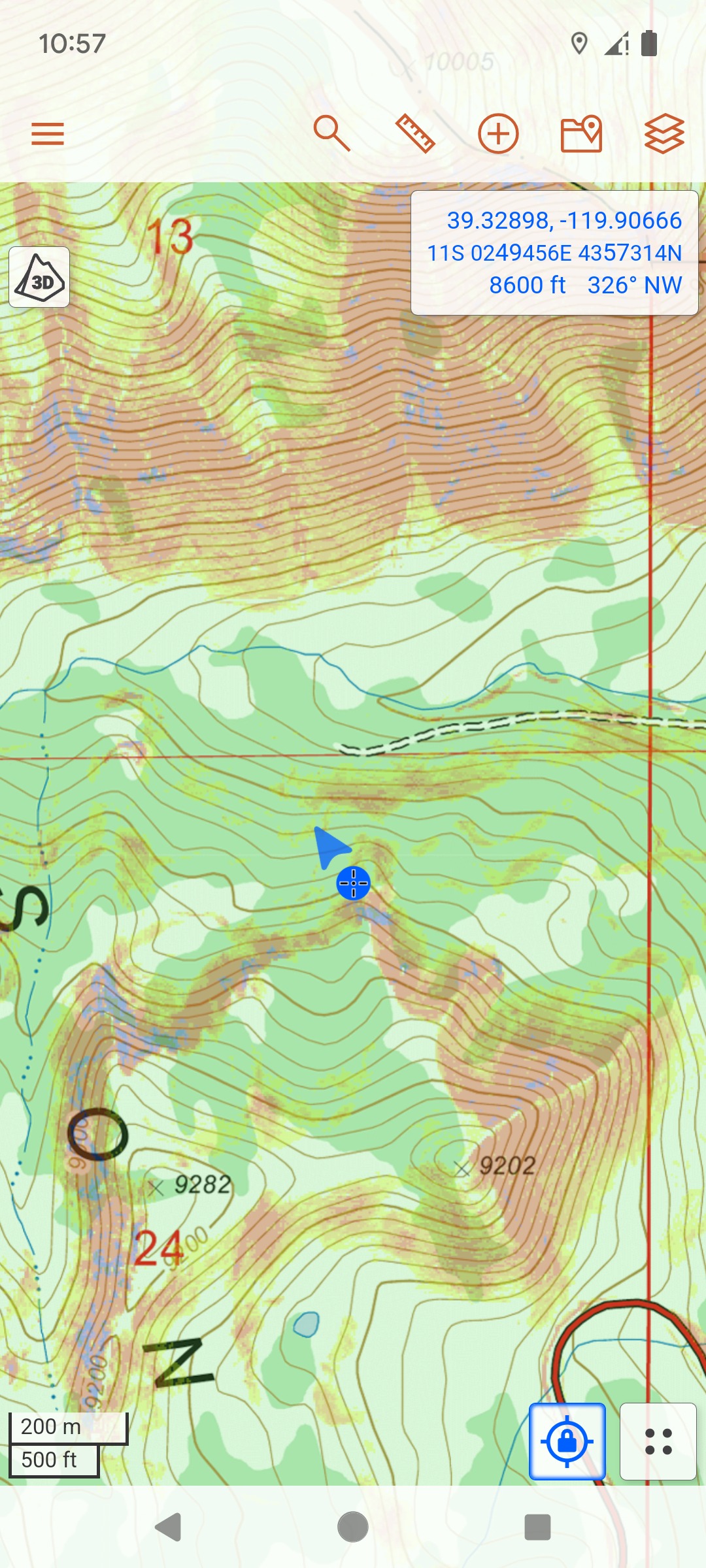
We went to the Fireplug area to look at a shallower and lower elevation snowpack in the Mt. Rose area. Snowpack depth decreased quickly as we decreased elevation in this area. At 8600', we had a snowpack that was just over 100cm in most locations through this area. The upper snowpack is made up of recent storm snow from the last week of storms and previous season snow. A prominent rain crust is located mid-pack and is still very strong and supportive. Below this rain crust, a series of deteriorating rain crusts and facet layers make up the lower snowpack to the ground. The rain crusts in the lower pack are faceting away and offer little strength. While the lower snowpack is weak and concerning, the mid-pack rain crust is strong along with the overlying mid-pack storm snow. No signs of instabilities were observed throughout the day.