
Quick report
- Cracking
- isolated
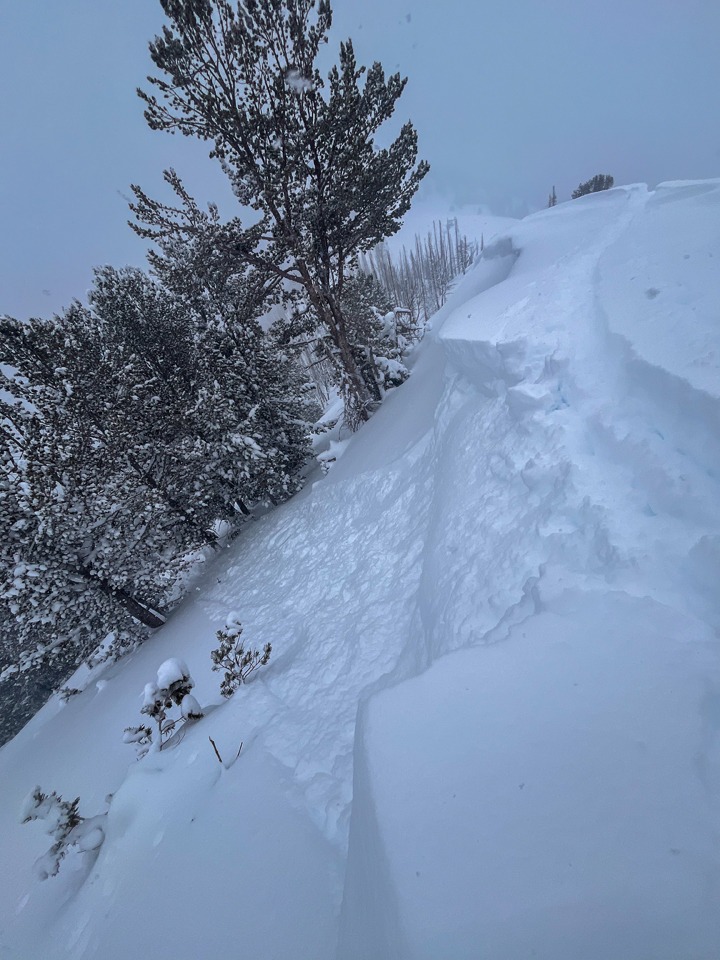
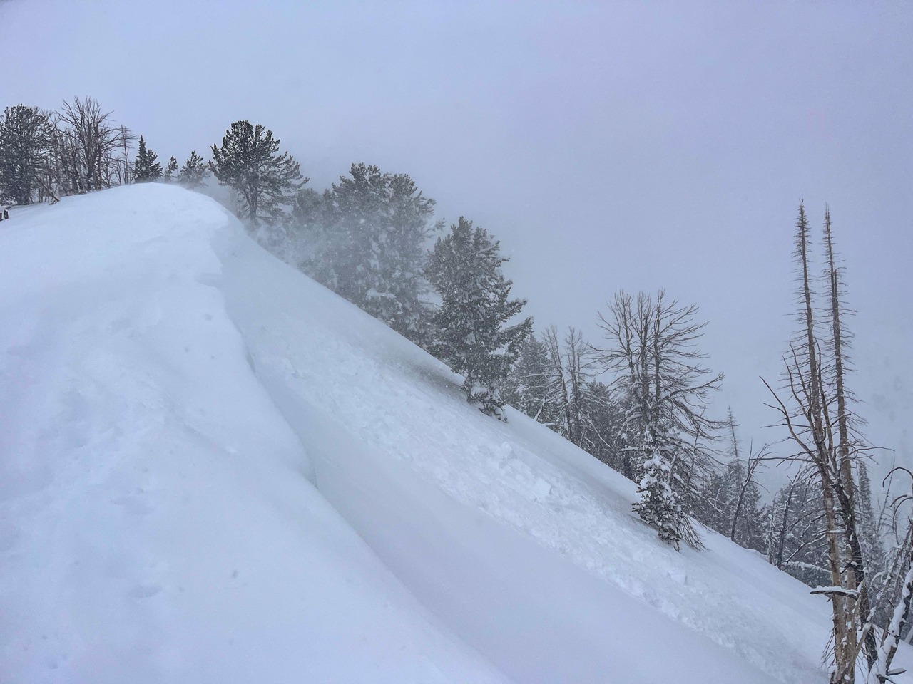
Wind-affected areas were the most dangerous due to the fresh batch of wind slabs and cornices built by today's wind and ~1' of new snow. They also created localized thinner areas where you're more likely to trigger a larger persistent slab avalanche. Loose snow avalanches were occurring naturally and were easy to trigger on steep slopes.
I triggered and observed some small dry loose avalanches in steep terrain. Cracking was in shallow wind slabs and cornices along the Baker/Brodie Divide.
Weather
- Cloud Cover
- overcast
- Wind Loading
- light
- Rain Elevation
- n/a
- Recent Snowfall
- 15 cm at Baker Parking Lot, 30 cm at Baker Lake TH.
- Snow Avail For Transport
- large amounts
Overcast skies. In the terrain I traveled, moderate SW wind >9,000' and mostly calm below. I did not observe upper elevations. Snowing S1 to S2 throughout the day.
Snowpack
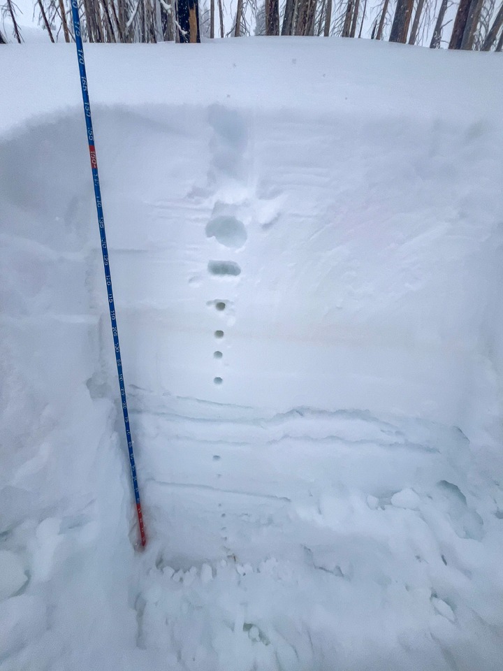
Last night and today's storm brought ~15 cm to the Baker lot and ~30 cm to middle elevations (and counting). There was very little wind below 9,000'. Thin wind slabs were developing above that. Yesterday's sun (and/or greenhousing?) formed a weak MFcr at the new/old interface near the parking lot. I'd assume some crust + facet combinations formed on some steeper slopes that received direct sun yesterday. I didn't find the new/old to be concerning anywhere I looked.
The (2/25) interface is 90 cm down at the head of Baker. It would be hard to impact this layer in deeper, sheltered locations like this one. However, the slab thickness is highly variable when you climb into wind-affected areas. Some slopes are stripped down to the (2/25) or (2/1) crust and adjacent slopes are loaded with recent drifts. I'd expect Persistent Slabs to be triggered from one of these variably thinner, wind-affected areas.
Avalanche
I did not observe any evidence of large avalanches. My visibility was confined to immediate terrain.