
Quick report
We observed a generally stable snowpack on north-facing, mid-elevation slopes. The recent atmospheric river event appeared to compress the basal facets into a moist, rounded state. Daytime temperatures felt more like spring, and the surface snow lacked the typical light, faceted conditions we often see in Idaho during this time of year. However, the current surface snow could become a future layer of concern when Mother Nature delivers more snowfall.
Weather
- Air Temp
- Above freezing
- Cloud Cover
- clear
- Rain Elevation
- 8000
High pressure, Redfish Lake had a daily morning fog over it with strong inversions.
Snowpack
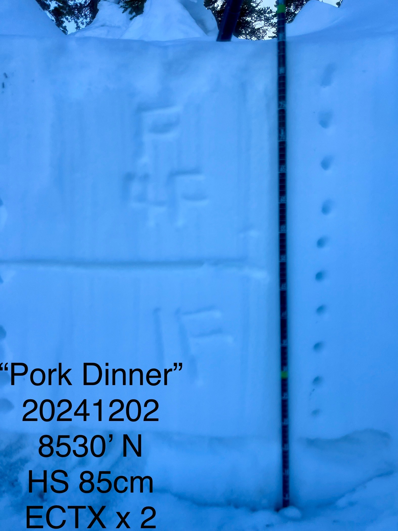
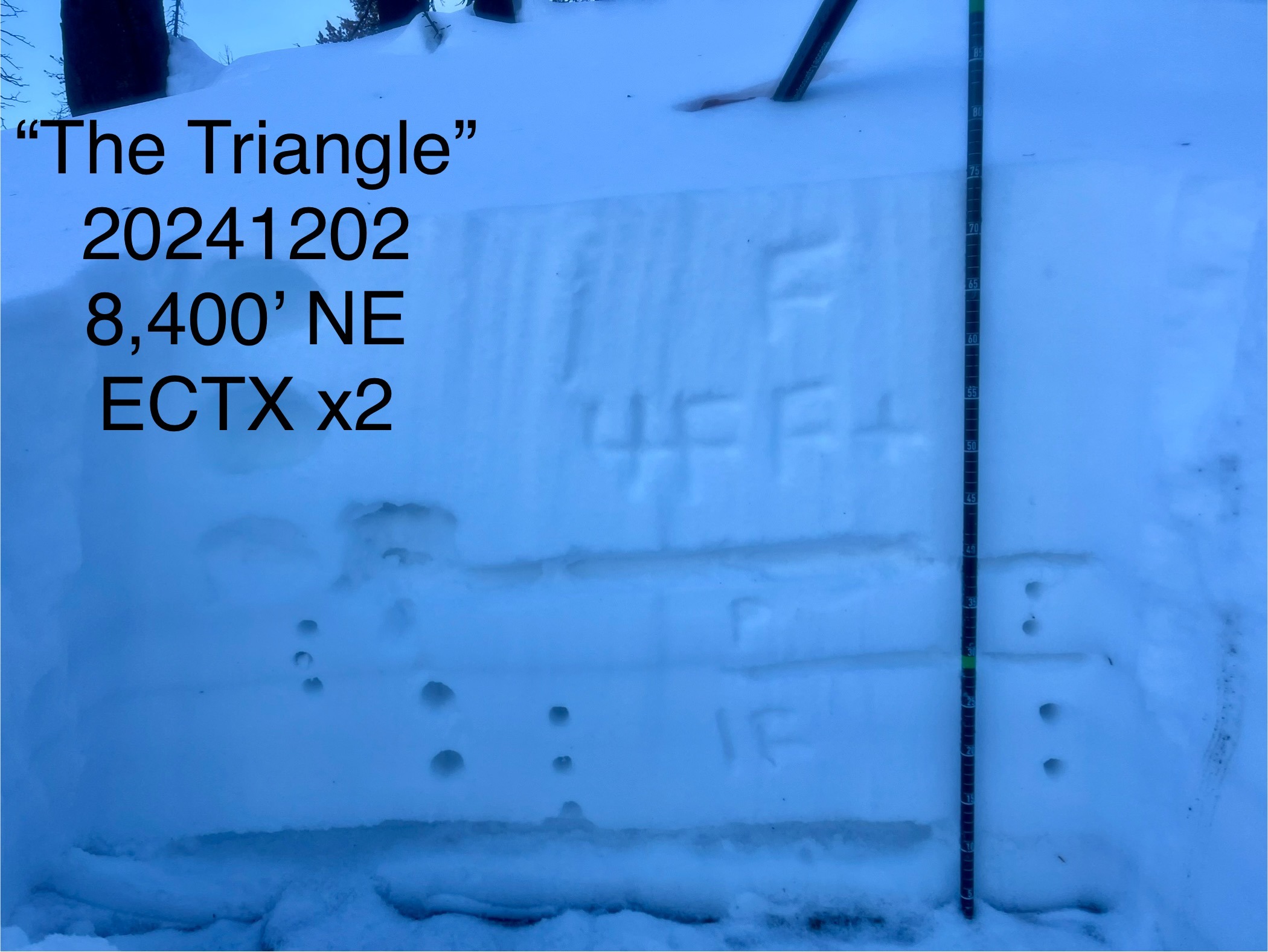
We dug many hand pits and three full pits. The surface snow was faceted in the top 10-15cm. It was less faceted the higher you gained elevation (our high point was 8650') with surface hoar in the lower elevations. The middle of the snowpack was rounded (1F to P in places). The bottom of the snowpack was rounding facets that were moist to the touch and 15-20cm thick. Large column tests produced ECTX in four tests in two different pits within 8400-8600' on NE-N facing slopes. The lower elevations were heavily faceted and difficult to set a skin track over the dense rain crust (which seemed to linger until ~8,000').
Avalanche
- Size
- D1
- Aspect
- SE
- Trigger
- N
- Elevation
- 9100 ft
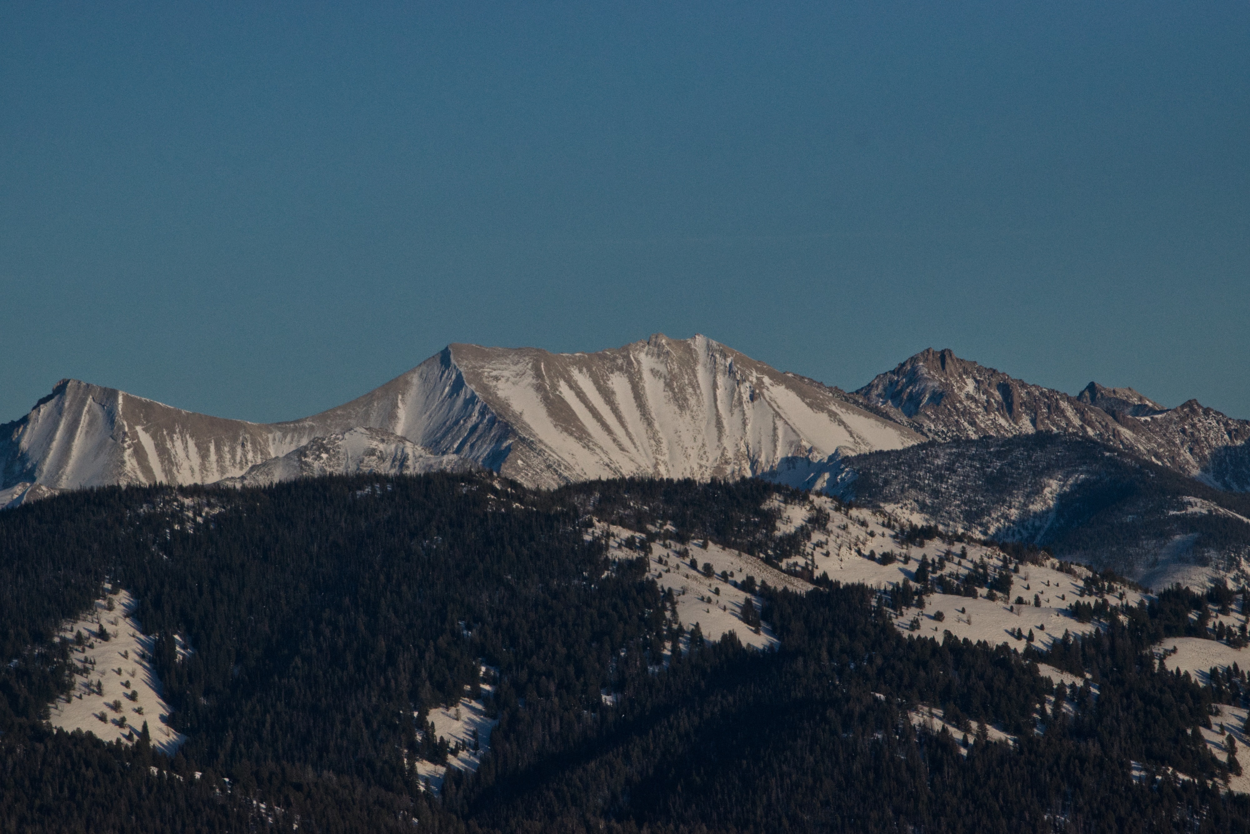
We observed wet loose avalanches on the south facing slopes of Williams Peak and above Marshall Lake. No slab avalanched were observed.