Haines Pass avalanche sightseeing 2024 version
davidmorisette,
Sunday 4th February, 2024 5:20PM
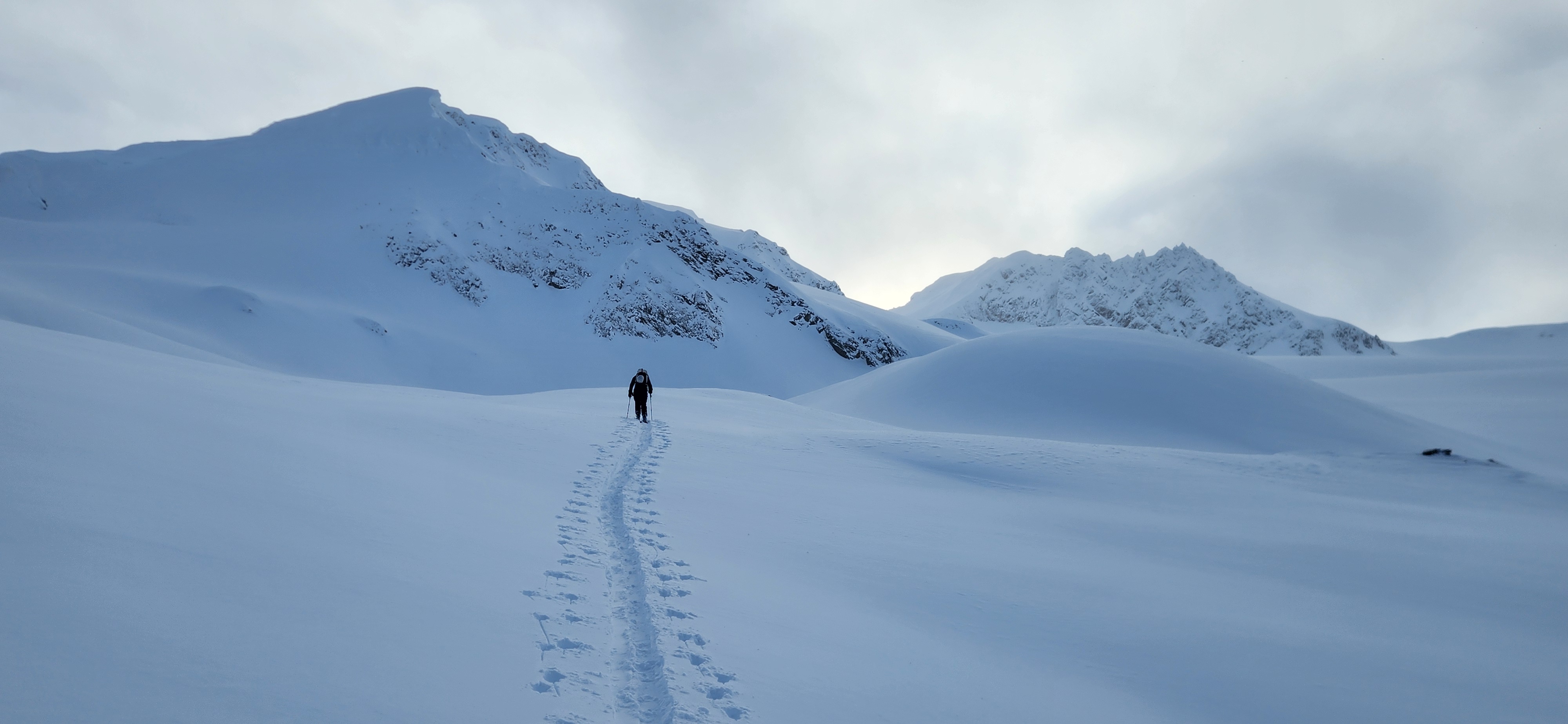
Spent a couple days in the Nadahinni and Parton area with sleds travelling over a lot of terrain. Weather was cold (-22 to -28 at hwy elevation) with northwest outflow wind on Friday (stronger at road elevation), and calm winds at the hwy Saturday with gusty north wind in the alpine switching to south late in the day. Good visibility overall.
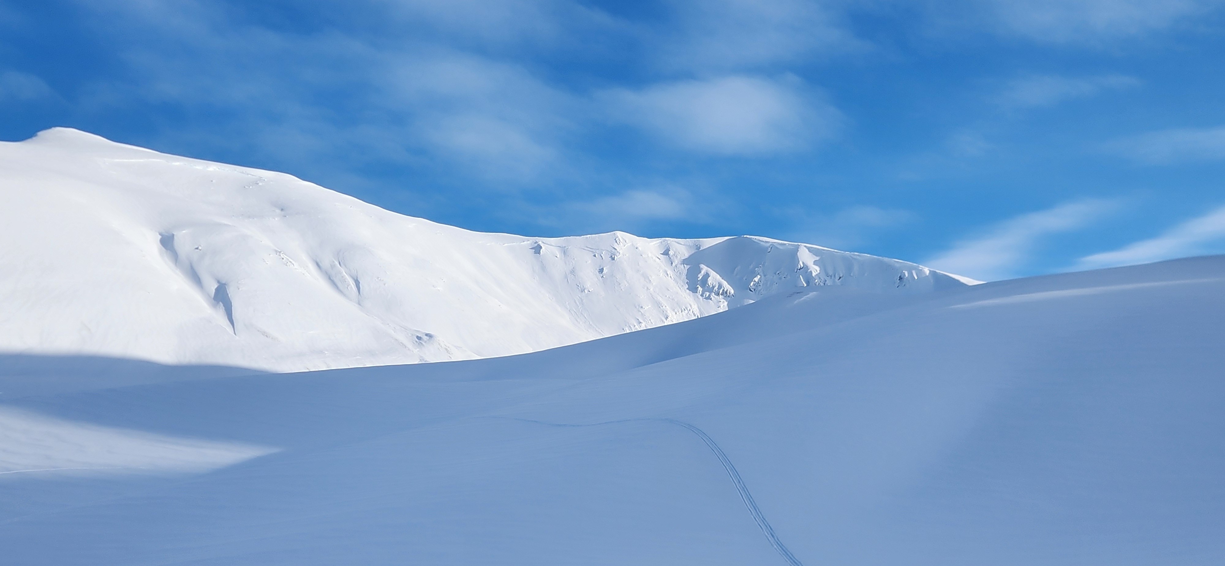
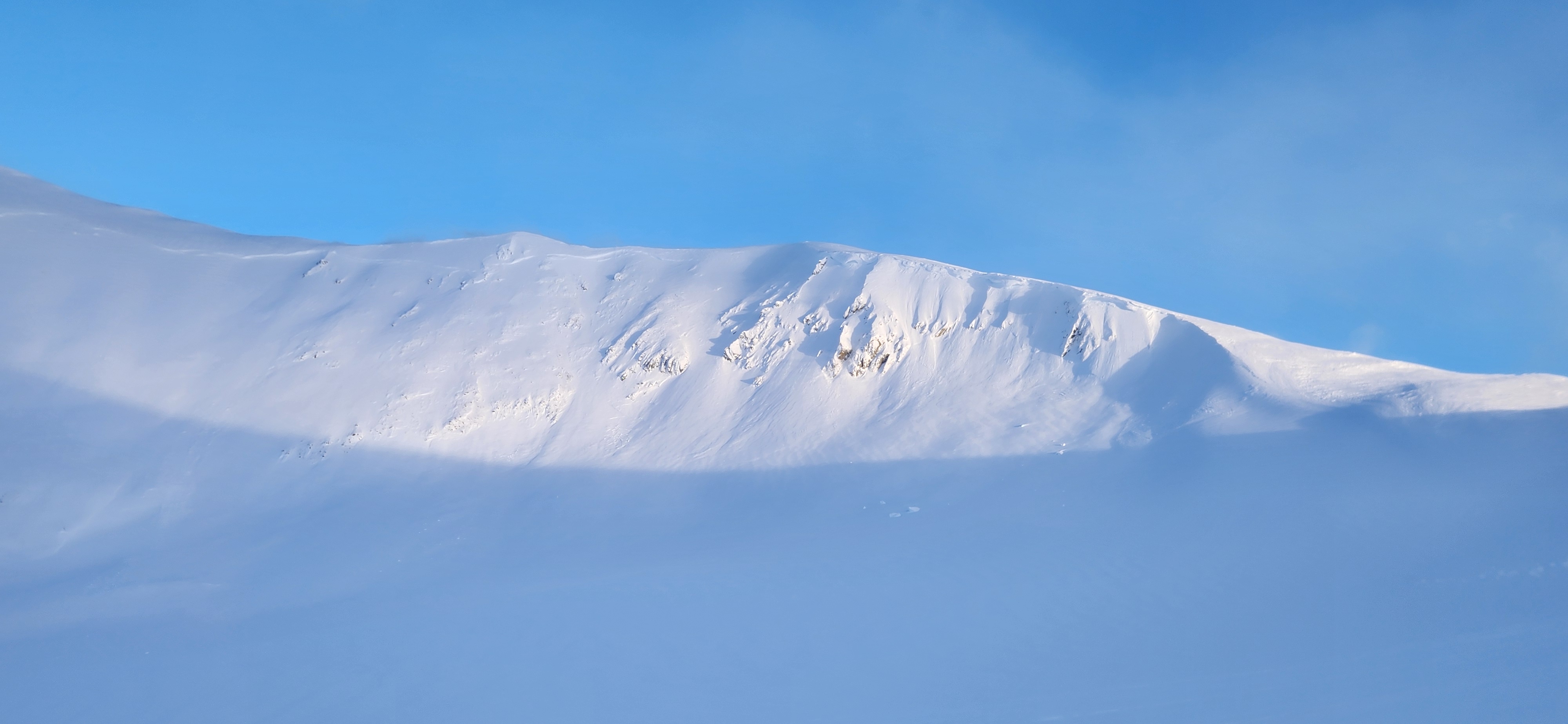
There was a supportive rain crust at the highway that rapidly disappeared above 1100-1200m with 10-15 cm new snow on since the peak of the warm up on Monday. It was however evident that temperature were close to 0 degrees well into the alpine during the storm cycle as the new snow had stiffened a lot, under about 15-20cm of drier snow at the end of the storm. We estimate that 40 to 60 cm of snow fell in those areas. There was widespread wind effect in most areas with snow surface varying from windpress, wind crusted, thick wind deposit (large waves) and cross loading. Skiing was still largely OK on even surface that skied smoothly. Some very good skiing was still possible in a few sheltered bowls/zones in boot deep cold facetted powder.
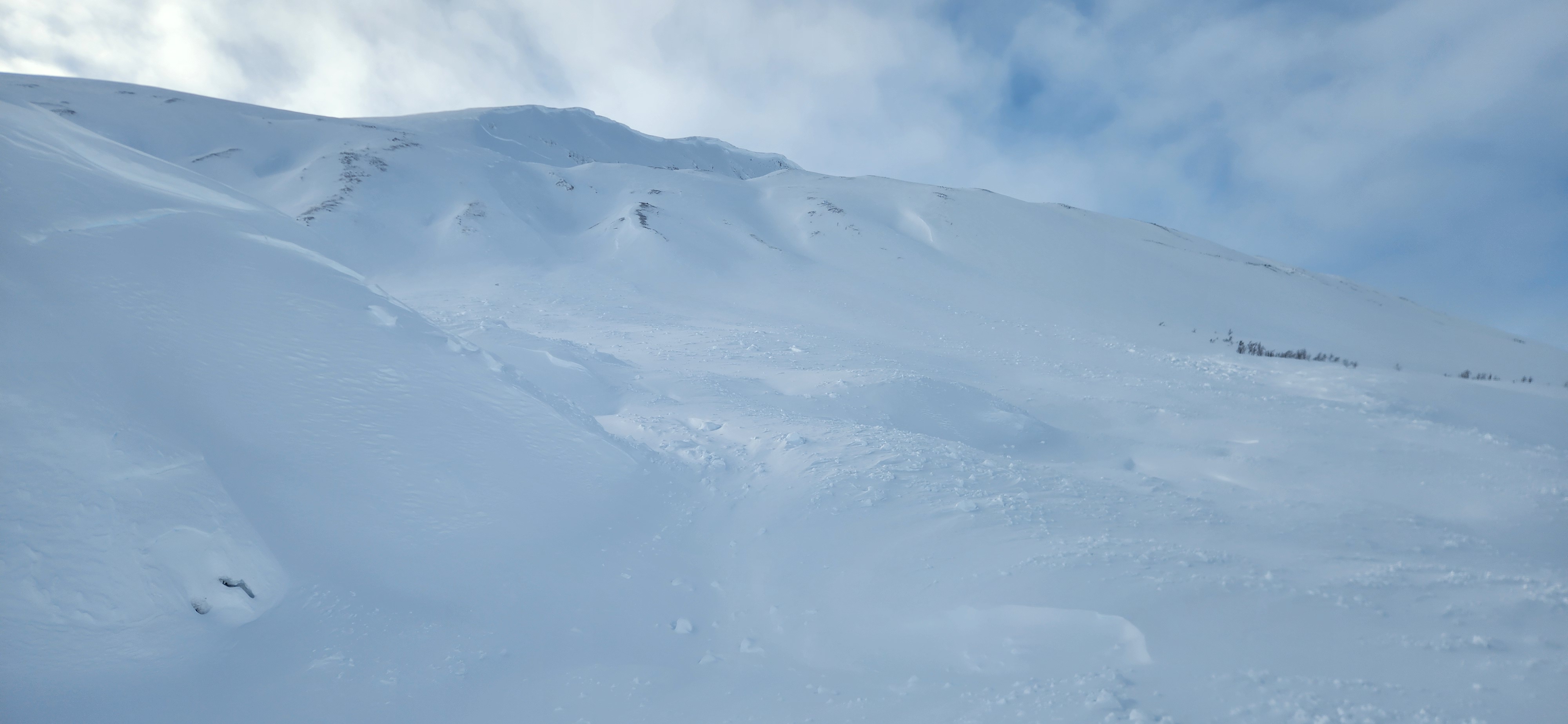
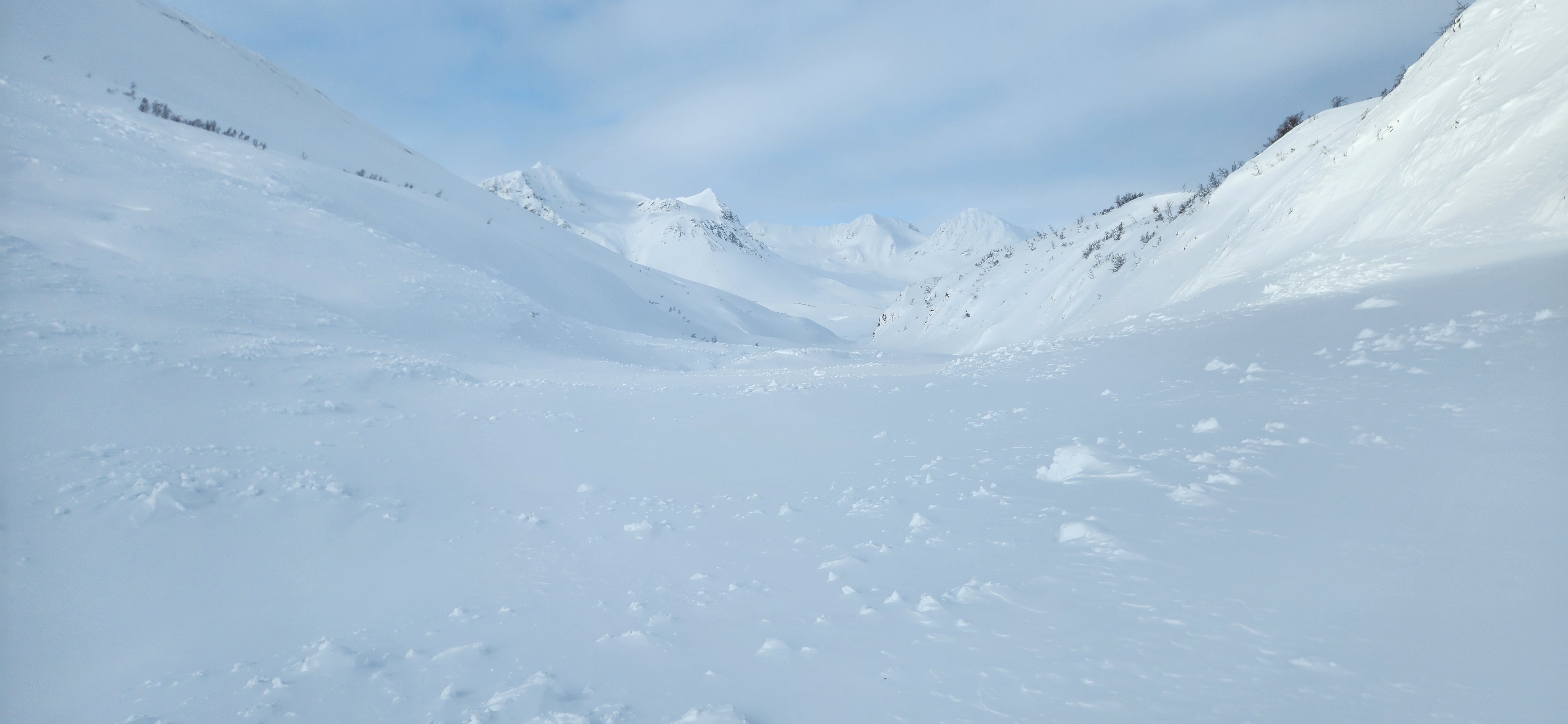
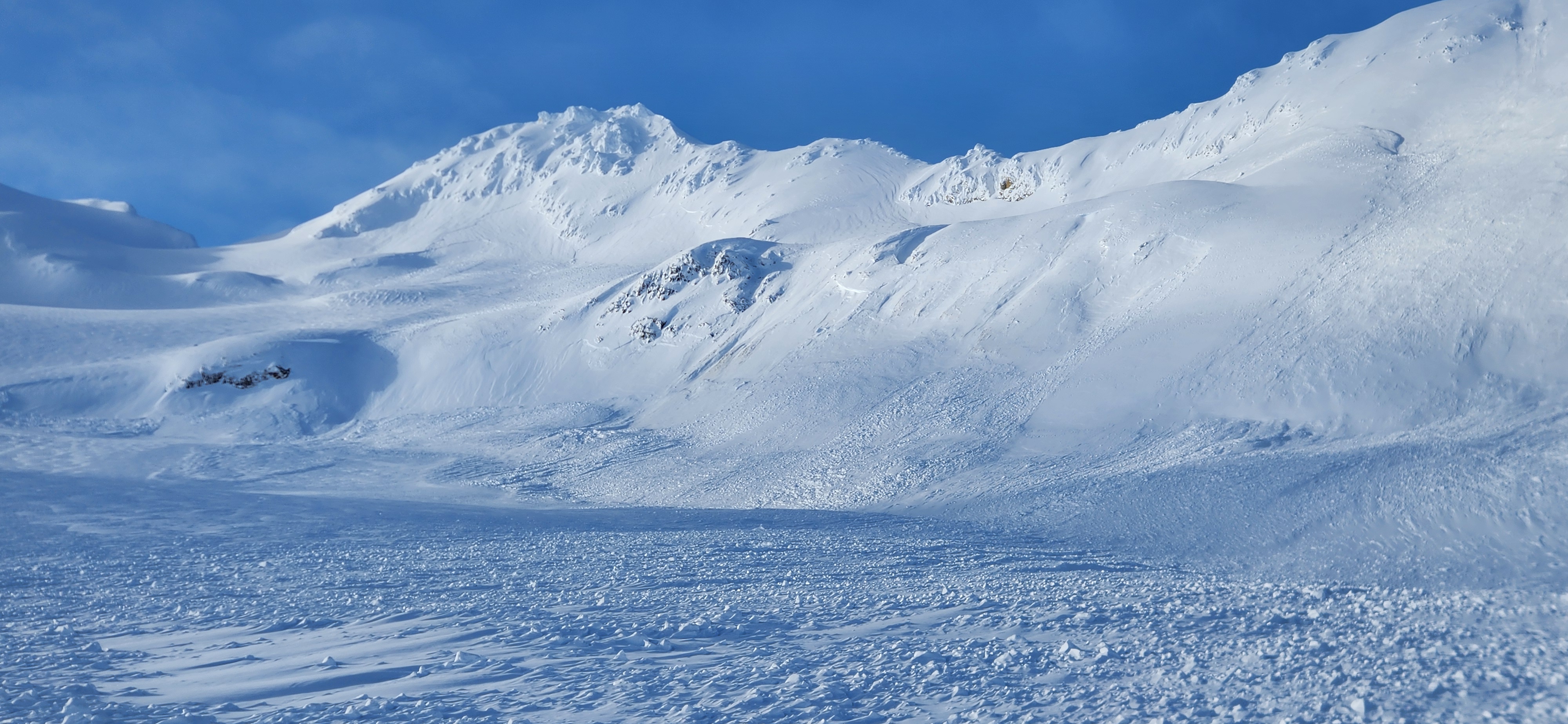
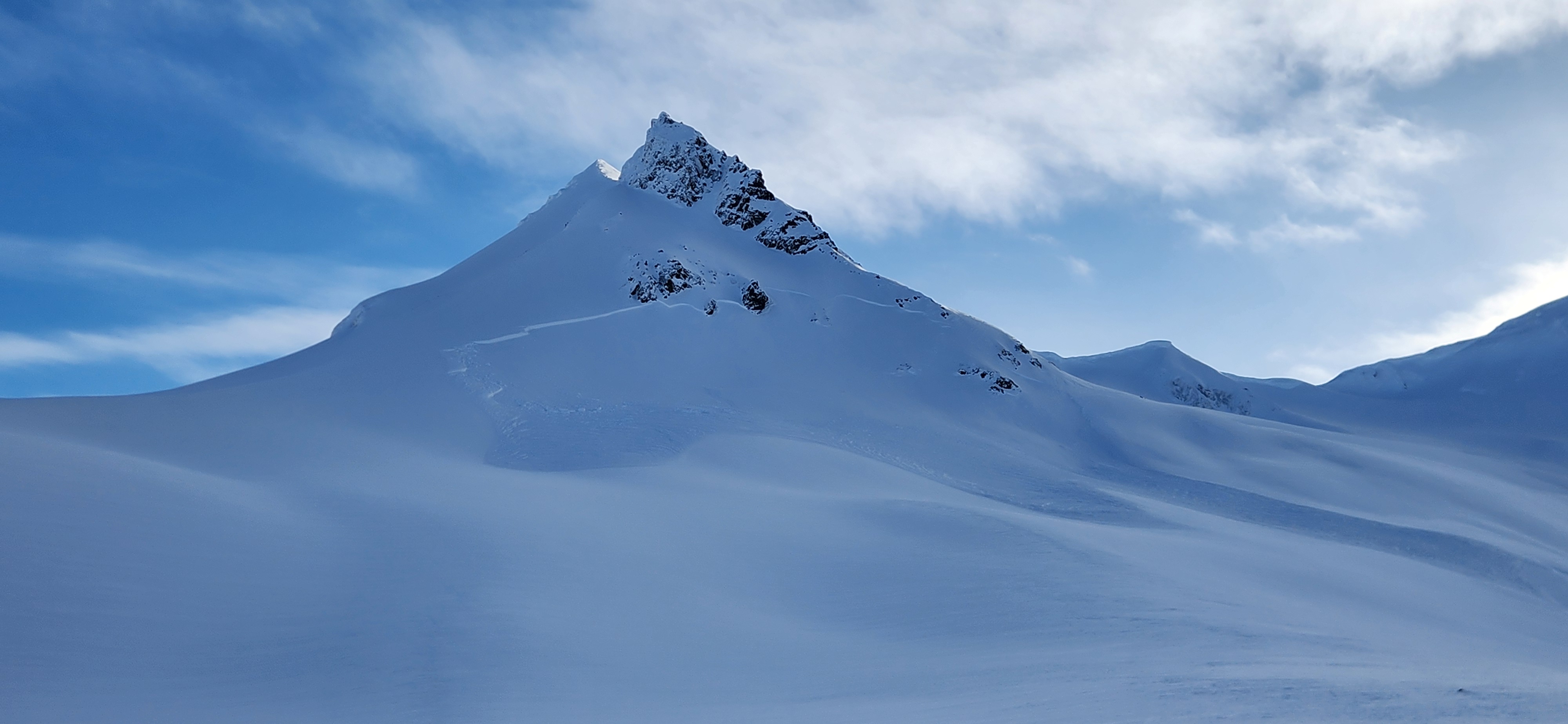
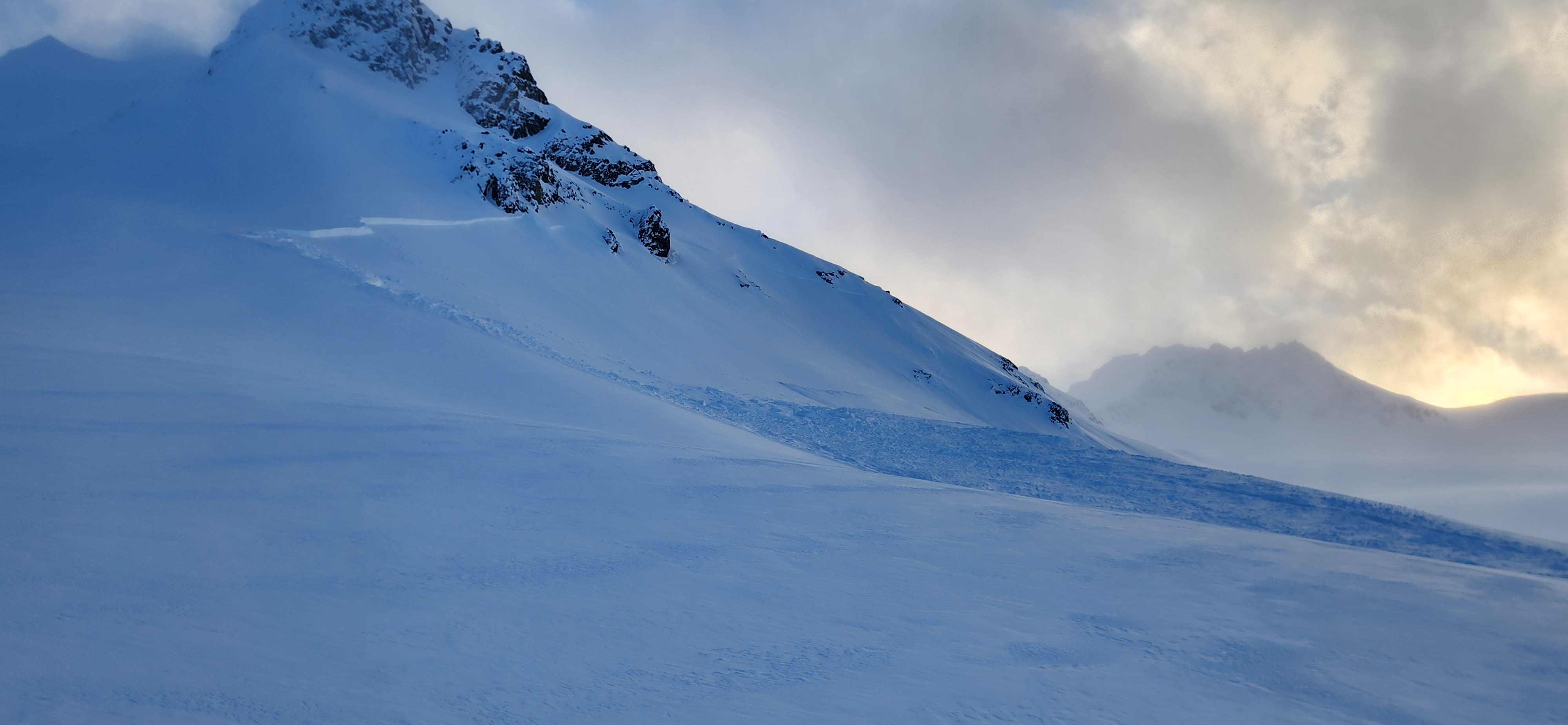
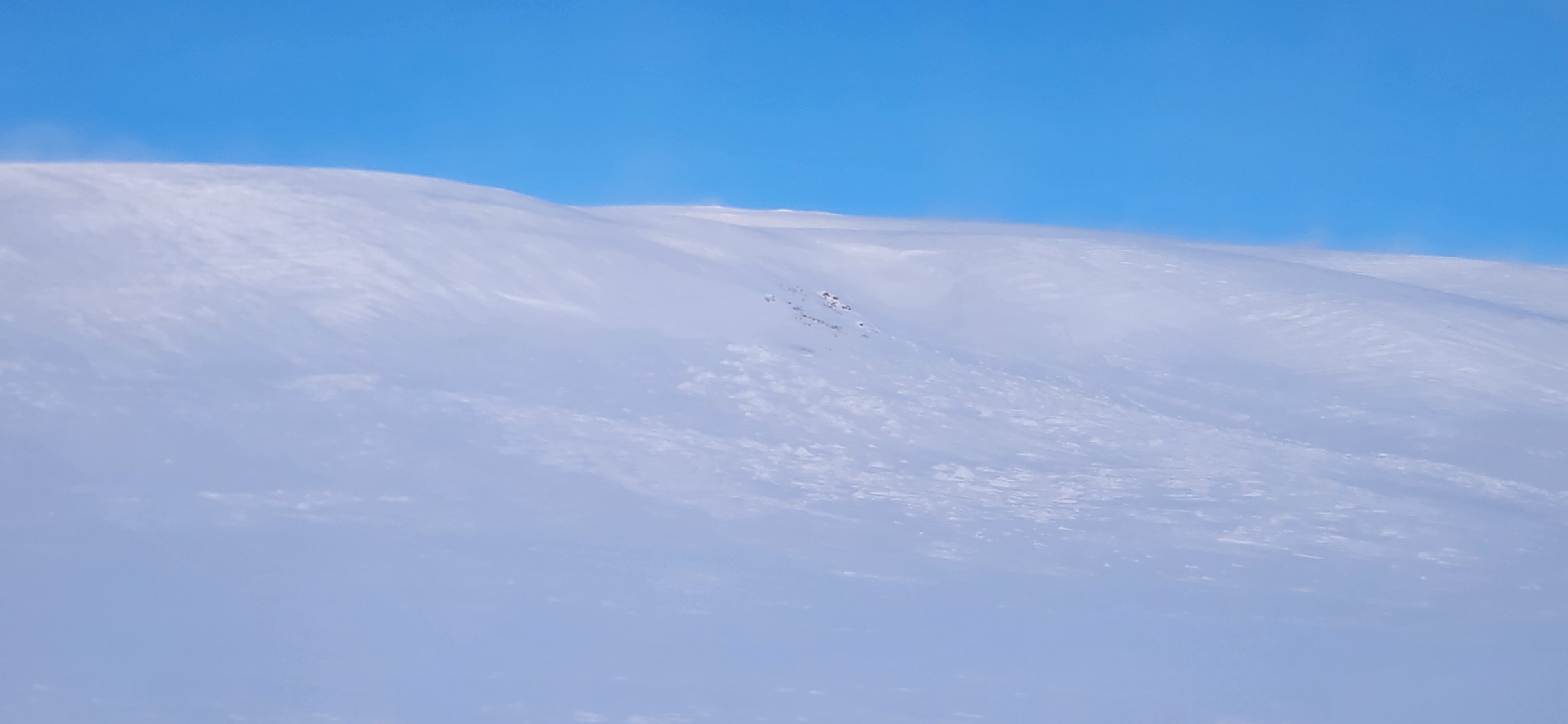
We observed a minimum of 40 avalanches during our 2 day trip. There was evidence of a major avalanche cycle that likely occurred during the peak of the warmup on Monday with avalanche up to size 3. West Nadahinni Creek got completely buried in one spot by at least 3m of debris as a result of a full path avalanche (start zone around 1500m). Debris were covered by the 10-15cm of new snow since. Numerous other large avalanche were seen with long-run out in mellow terrain. The character of those avalanche was also quite varied: either only the storm with 60 to 80cm, or many deep slab avalanche of crown well above 1m that likely suggest a deep persistent slab. Avalanche were also seen on many types of either, either the usual shallow and exposed areas, as well as sheltered high north steep north facing slope or wind loaded aspect at various elevations. Most of the usual producers in the area avalanche big. There was also evidence of a more recent avalanche cycle (not as extensive, 5 to 10 such avalanche observed) that occurred 24-36hrs prior as a result of wind event. The characteristics of those avalanche were more uniform, storm slab or soft slab, with crown size only in the new snow (less than 1m), in the high alpine, either close to a ridgeline or in zones sheltered from the stronger winds. It appears that the sliding surface was the old wind affected (and faceted) surface from that last outflow event. Surface hoar is possible but we didn't observed it.
We decided to stick to terrain of less than 30 degrees, or commit to small well supported steeper slopes with minimal exposure. All of the steeper slopes that have not avalanche yet are suspect and we felt we would have needed a lot more time in the area to gain confidence in the snowpack (or loose any confidence that we may have gained). Although we felt that the cold temperatures have improved stability, larger and steeper features are likely still prime for the potential to trigger a deeper slab, especially around thin snow pack areas, but potentially anywhere in the alpine. Still possible to have a very good time and good conditions by carefully choosing travel routes and minimizing exposure.
Location: 59.72848000 -136.69423000