
Quick report
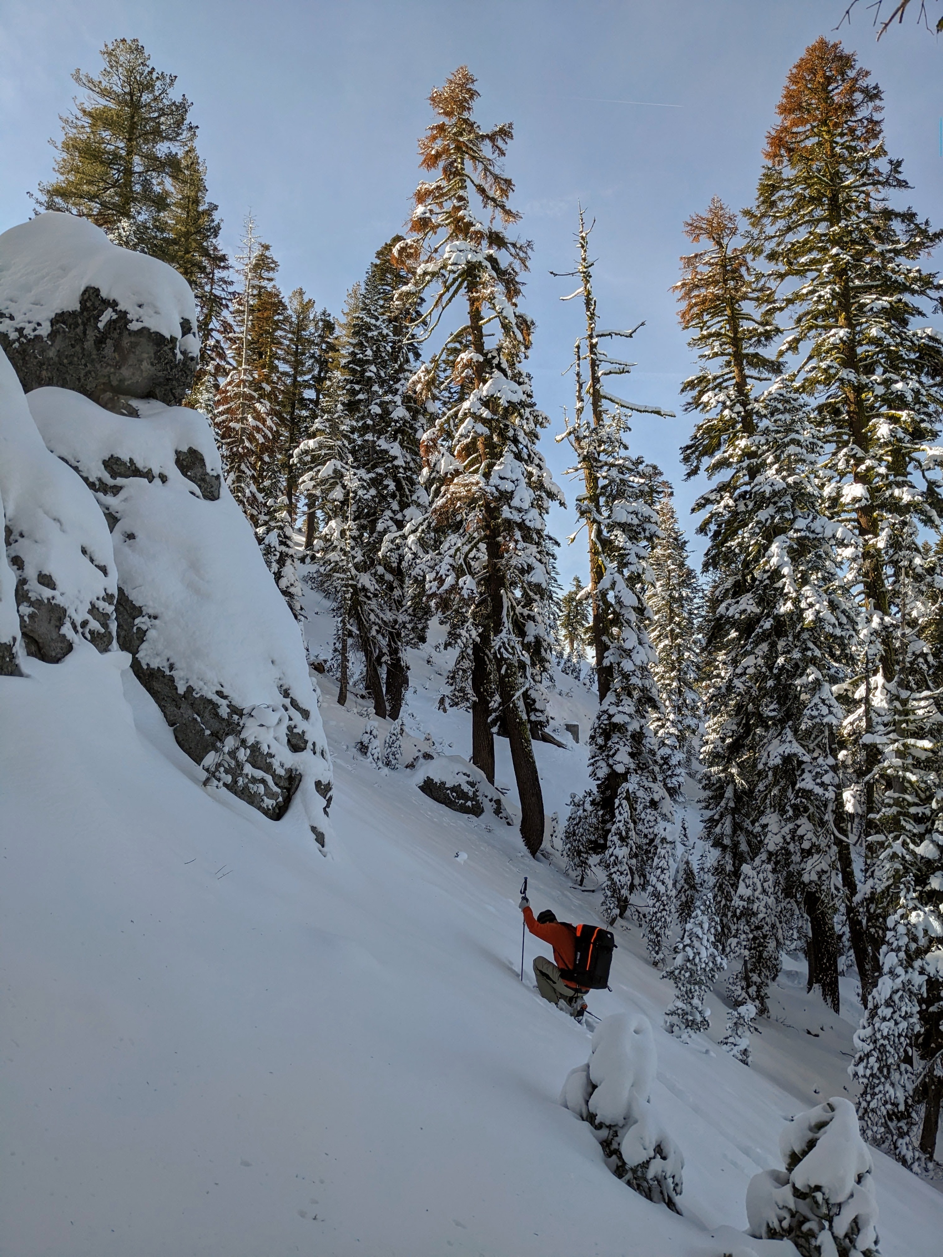
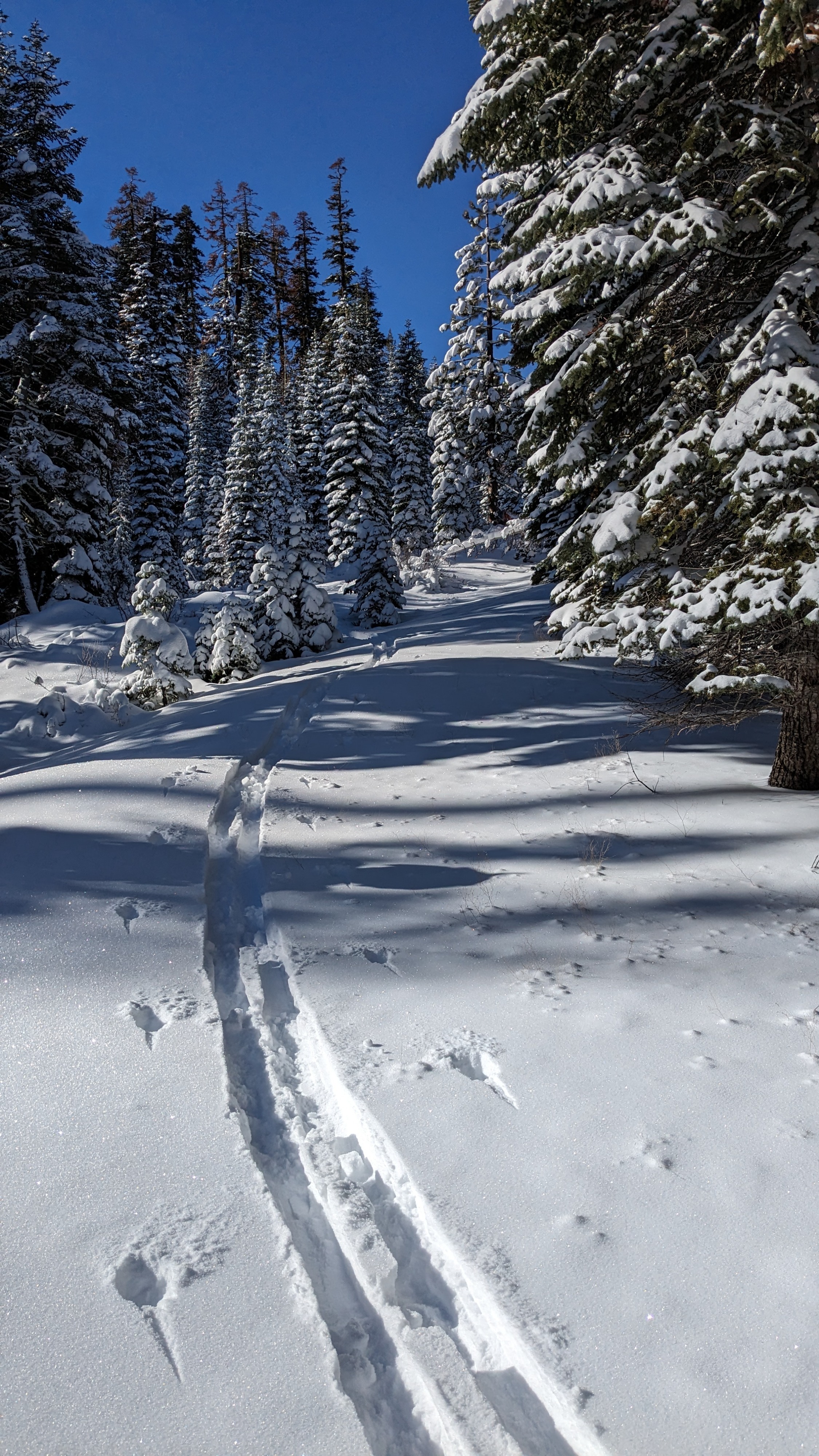
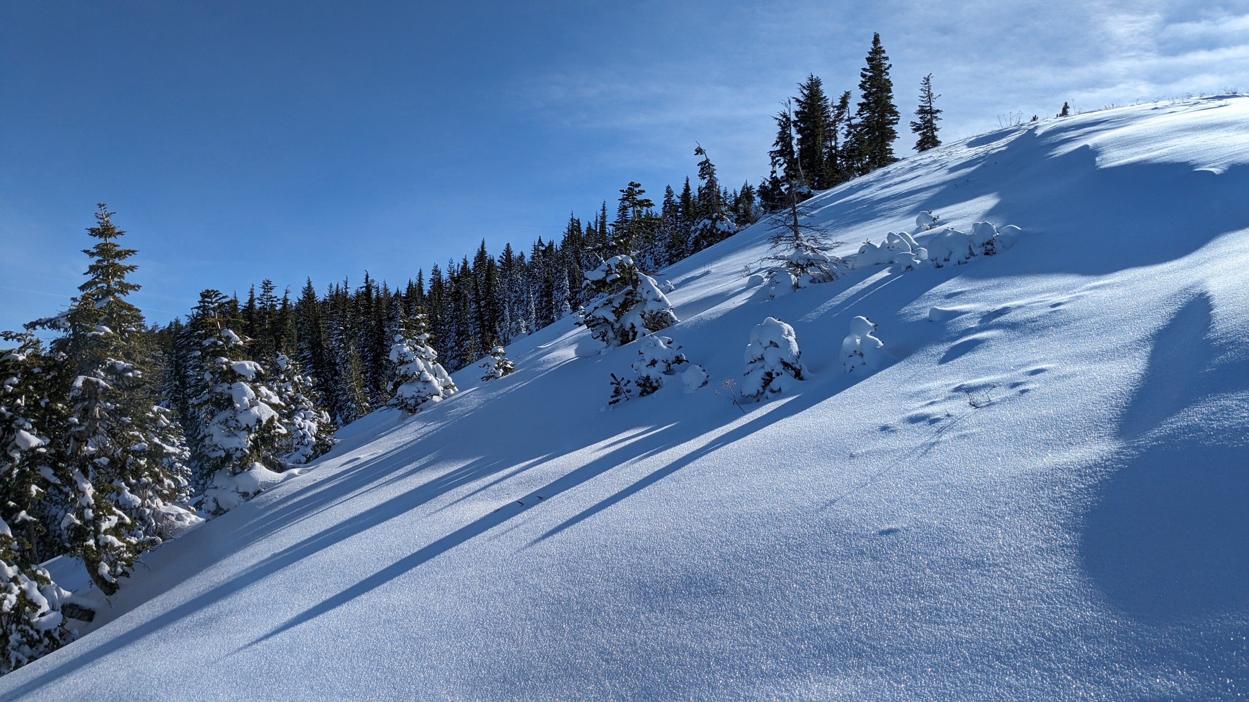
We arrived to 8 inches of recent new snow at 6,700' Yuba Pass. New snow amounts increased to a foot on the lower slopes of Lincoln Ridge as we ascended above 7,200'. The snowpack structure was consistent across the N to NE aspects that we traveled in the 7,200' to 7,800' elevation range (see snowpack section for details). We encountered mostly ski supportable travel conditions with plenty of shallow buried obstacles, especially in areas below the forest canopy. We encountered fewer obstacles on open slopes. Air temperatures were well above freezing with only minimal areas of snow surface warming observed in N-NE-E aspect terrain and in flat areas.
Weather
- Air Temp
- 41
- Cloud Cover
- few
- Wind Loading
- none
- Snow Avail For Transport
- small smounts
Above freezing maximum daytime air temperatures with calm winds.
Snowpack
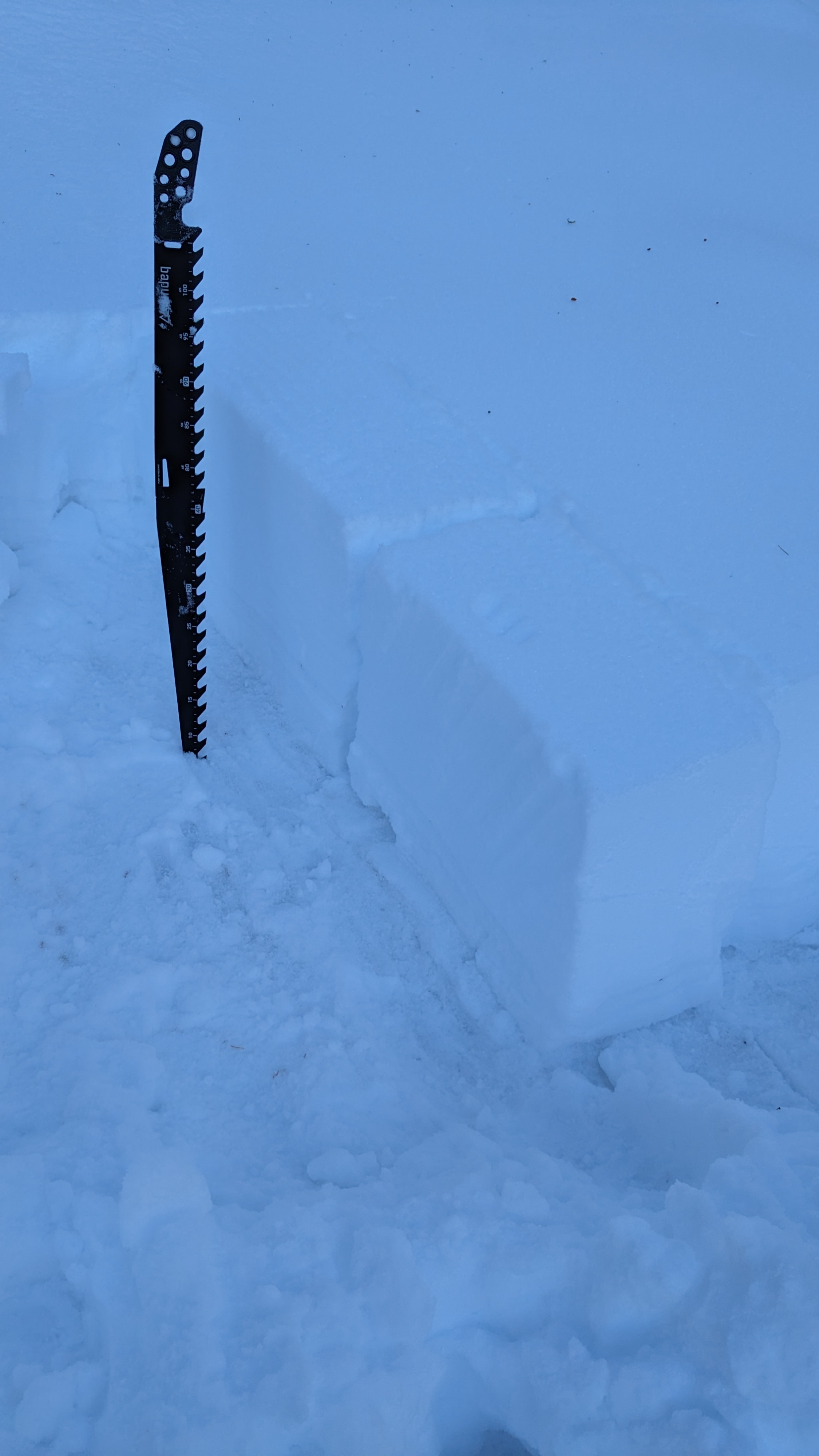
A foot of recent new snow on top of two rain crusts with facets in between the crusts. Facet layer is much less developed in this area compared to what has been observed at higher elevations.