
Quick report
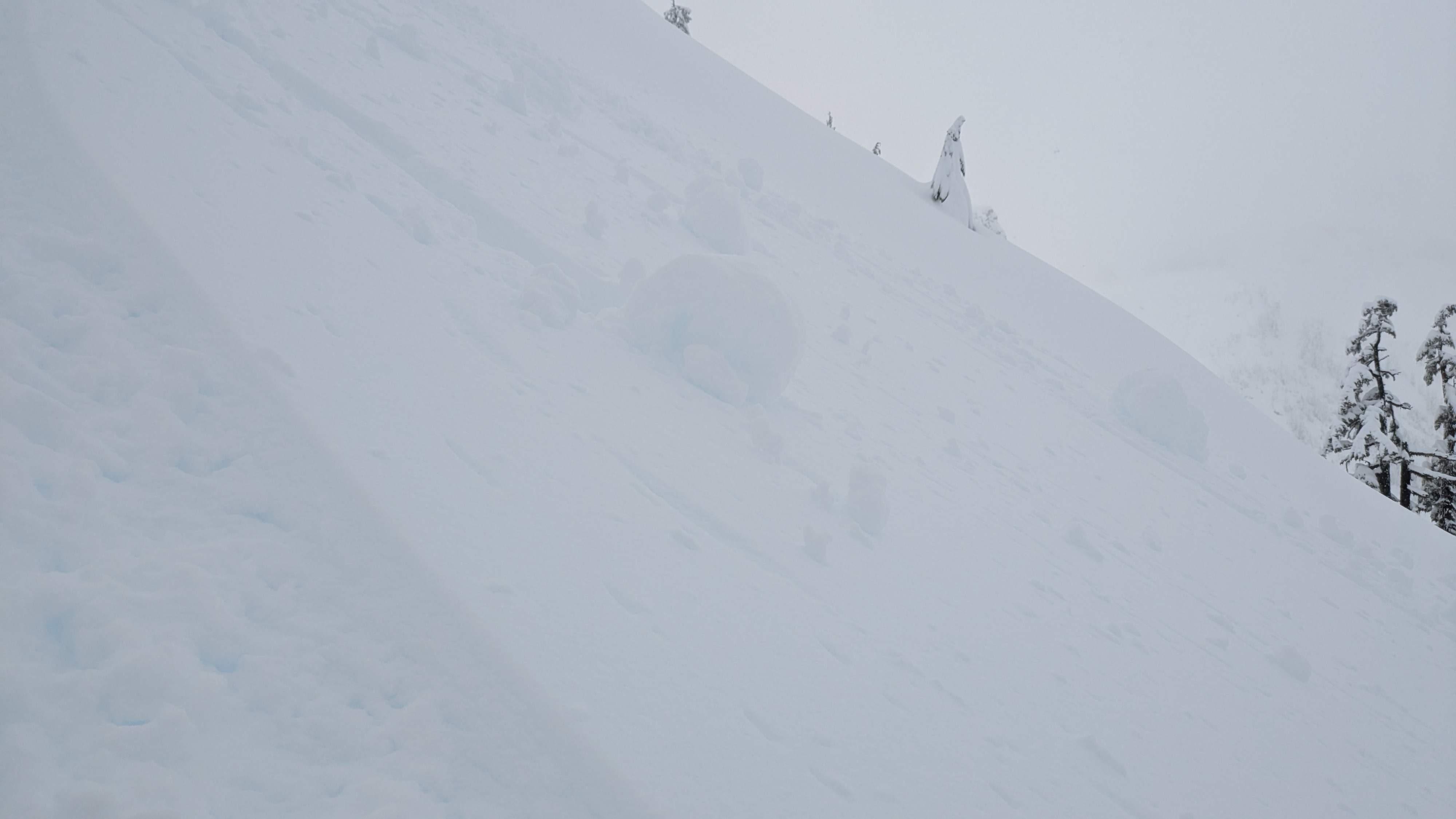
Aside from early season hazards like creeks and rocks, our primary concern is in the temperatures. All the recent storm snow is well bonded, but deep and wet. Throughout the day we saw evidence of warming such as rollerballs and tree bombs. Towards the end of the day we saw evidence of avalanches on the north aspects of Table Mountain. On the drive down, precip turned to rain at the cell tower between WS and Heather Meadows We didn't note any major instability near Pan Dome or Swift Creek, although on our way back over Austin Pass we noted several debris fields in the Blueberry Chutes on the north aspect of Table Mountain.
Weather
- Air Temp
- 32
- Cloud Cover
- obscured
- Wind Loading
- light
- Rain Elevation
- 4000
- Recent Snowfall
- 40
- Snow Avail For Transport
- small smounts
Storm accumulation over 55cm. No wind. Precipitation was light and rain/snow mix. Throughout the day, sky conditions were obscured and light was flat.
Snowpack
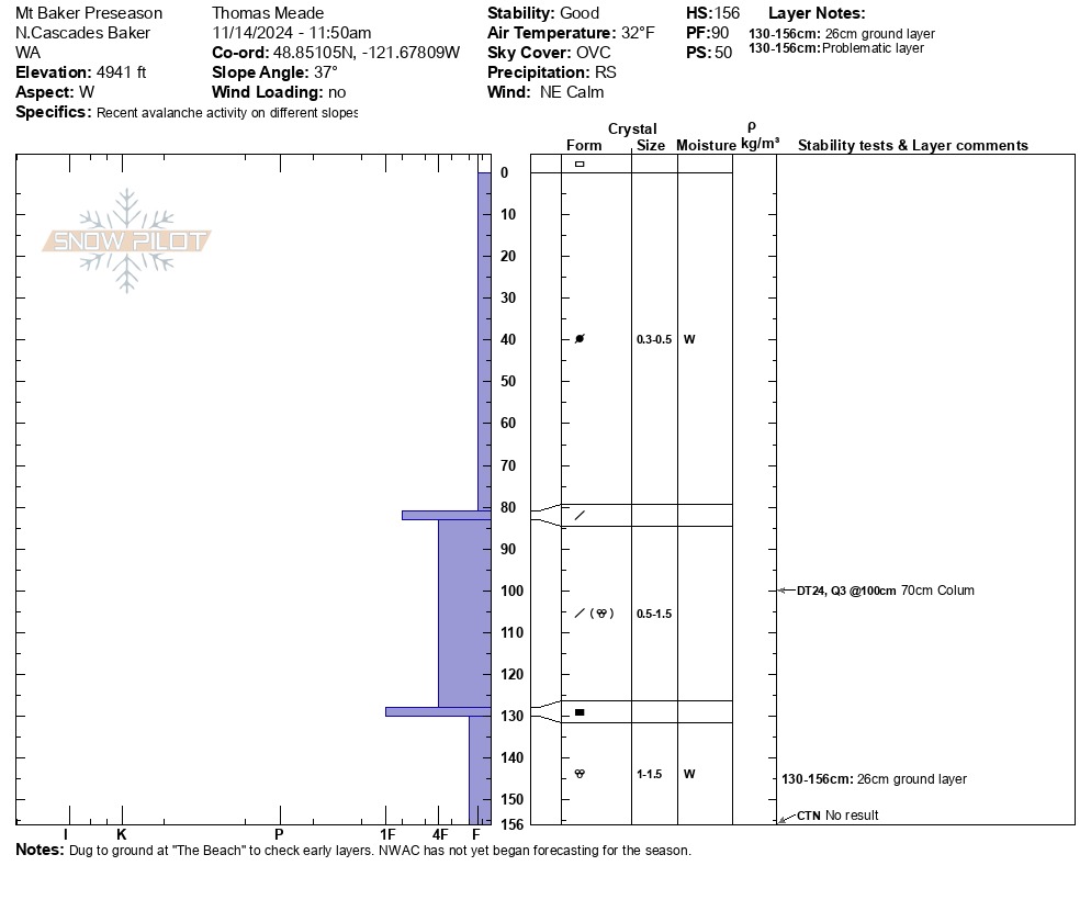
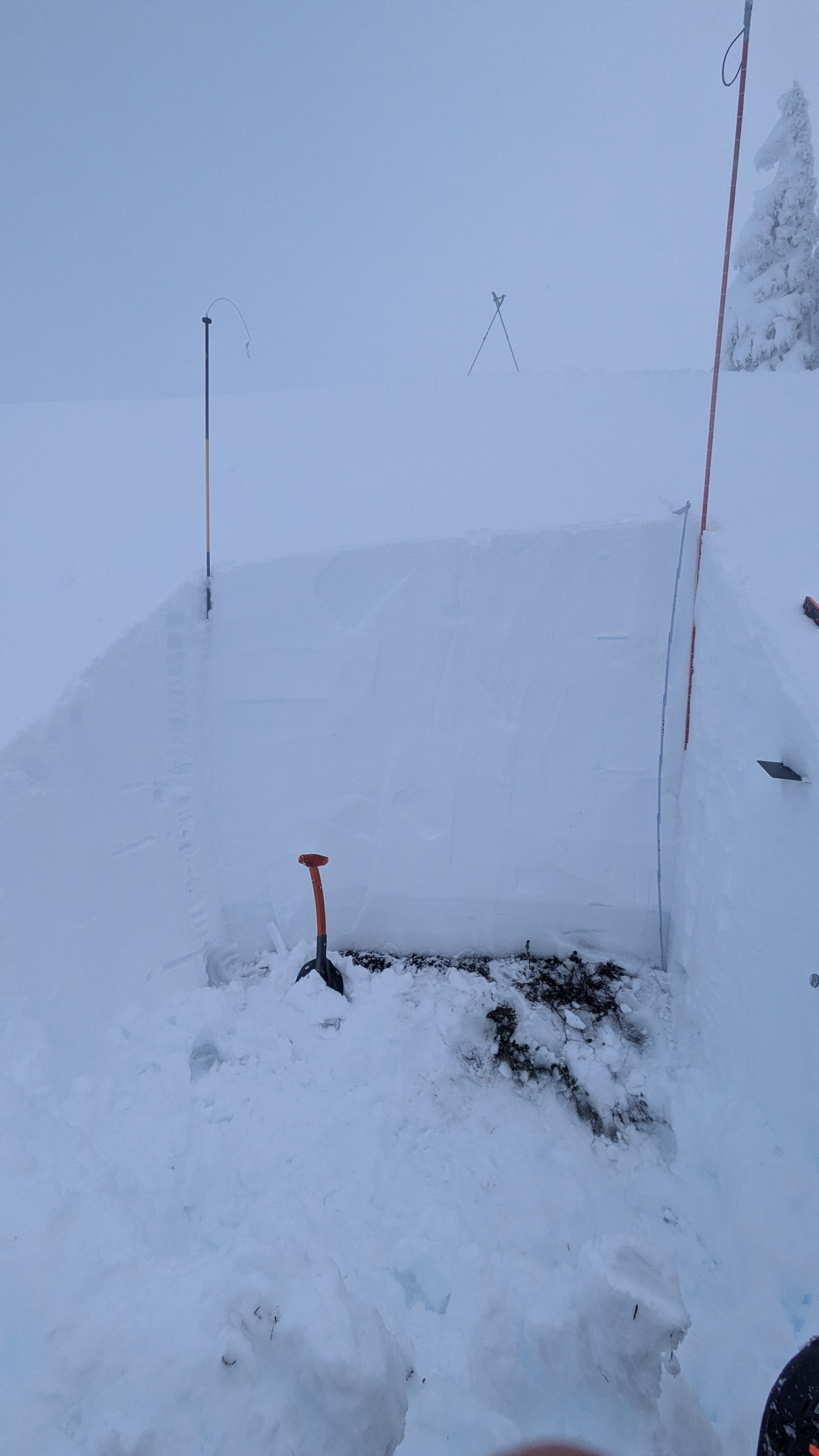
The storm snow from the past week is fairly consistent in density and well consolidated, albeit wet. Temperature was right at 32F and a wet snow mix. We dug to ground and observed a 25cm layer of wet rounds at the ground interface.
Avalanche
- Size
- D1.5 R2
- Type
- WS
- Count
- 3
- Aspect
- N
- Elevation
- 5000 ft
Various wet avalanches