
Quick report
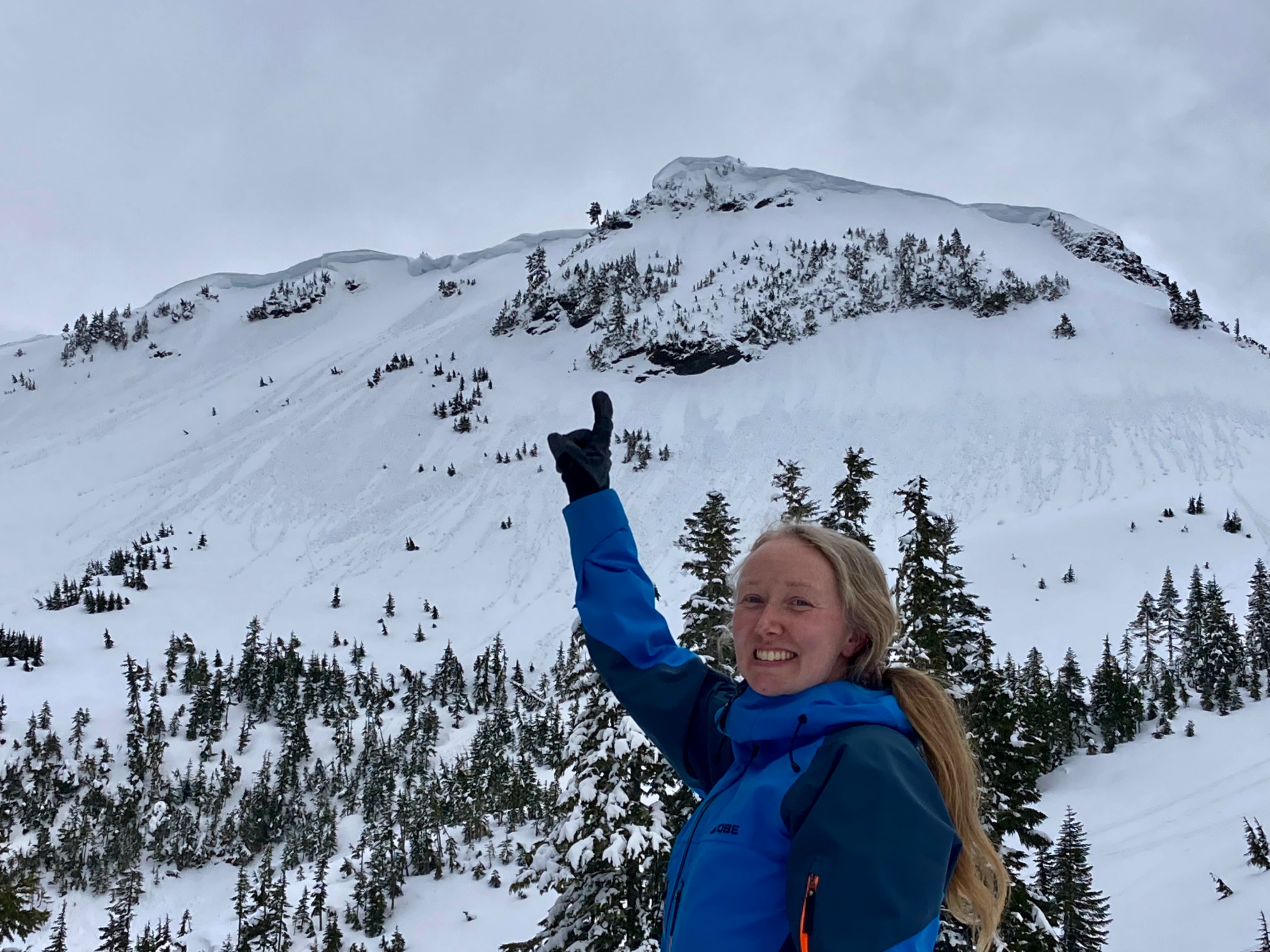
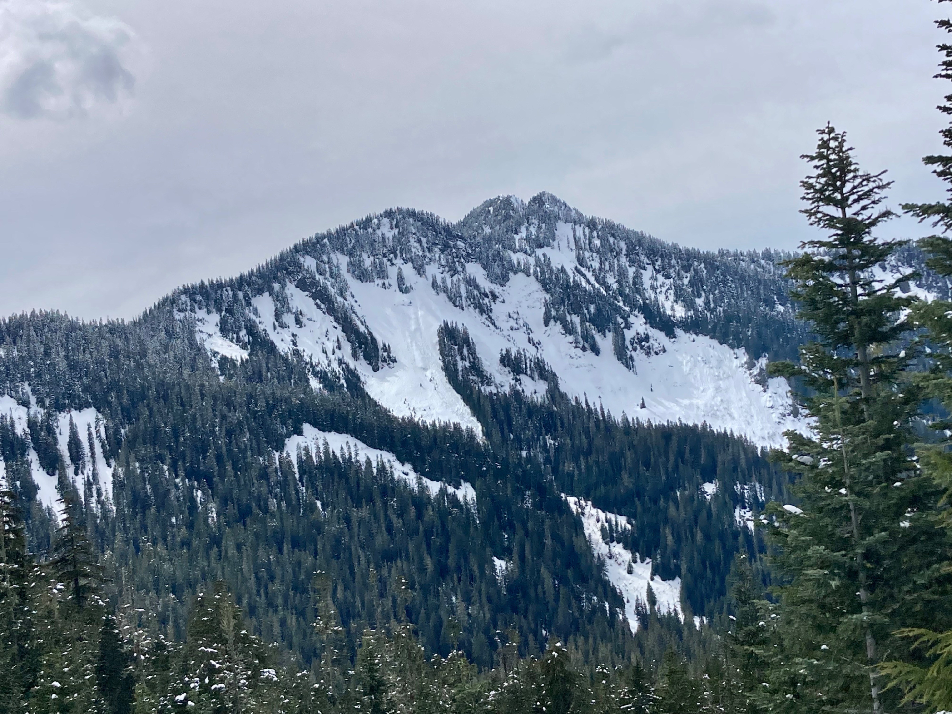
Small, shallow avalanche activity were our only signs of instability.
Weather
- Cloud Cover
- broken
- Wind Loading
- previous
- Recent Snowfall
- 1
- Snow Avail For Transport
- small smounts
Clear morning skies led to midday high thin overcast and then fully overcast skies in the afternoon.
Snowpack
Snow was crusty in the morning but softened quickly in intense sun. A 1-inch thick crust was present near the surface from melting the previous day on both north and south aspects at 5000ft. This crust and a midway crust were present in the 1-2 ft of snow above the thick mid March Crust. This snow was consolidating, although subtle storm interfaces were detectable in compression tests. Snow was well bonded to the mid March crust
Surface hoar was present on the snow surface where we dug at 5000ft, at the top of the 1cm of low density surface snow that was above yesterday's crust. Much of the surface hoar broke down during the day.
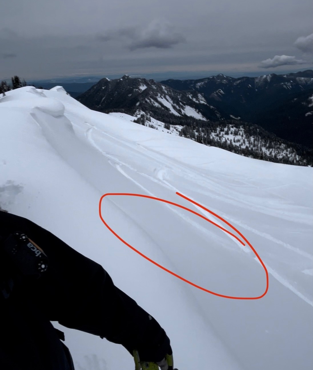
We were predominantly on low-angle northerly terrain where snow became moist about 10cm deep. On steep north-facing terrain at about 6000ft along a ridgeline small dry pockets of snow were found with obvious signs of wind loading and a small wind slab pocket release with a snowmobile trigger. Most lower areas didn't have previous signs of loading.
Avalanche
One very small pocket of snowmobile-cut wind slab at the highest elevation that some of us traveled to. Otherwise, rollerballs naturally ran on north facing aspects up to 6000ft, and small wet loose avalanche activity was seen on east facing slopes at 5000ft.