
Quick report
Suprising enough, there was no recent snowfall through the night or this morning, and the only evidence of fresh snow I encountered today was in a short 30 minute snow storm around noon.
The snow surface must have forze last night since at 10:00 am (when I started my tour) I was noticing a 1 to 3 inch crust still caping moist snow. The thickness of the crust increased with elevation. Forecasted warm ambient air temperatures were not warming up snow surfaces as fast as predicted, likely due to a slight cool easterly breeze which later brought in the light snowfall.
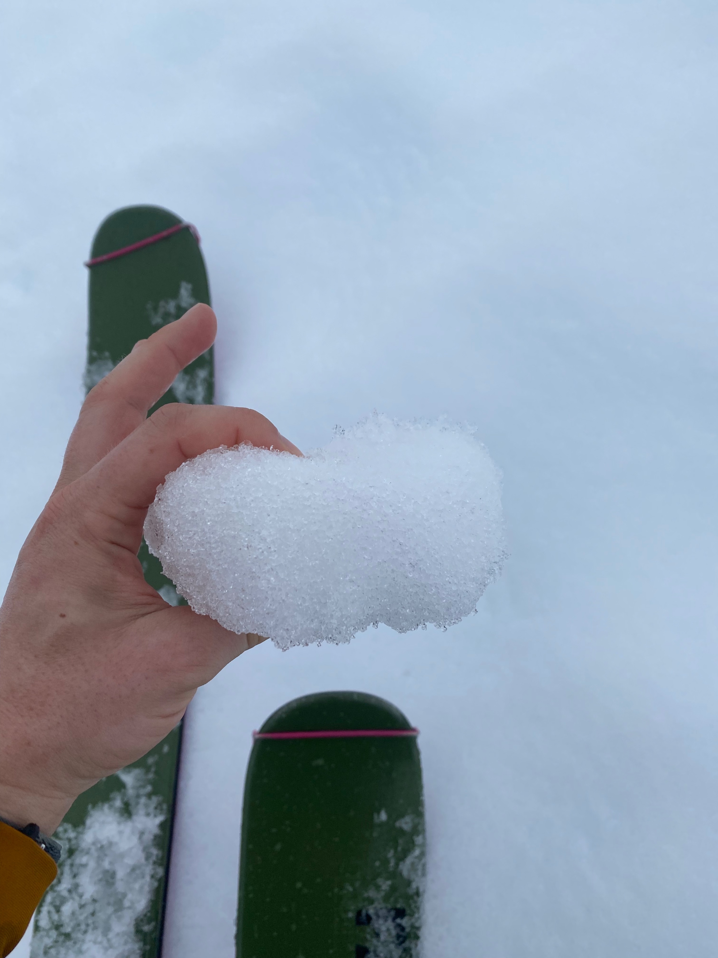
Following the small storm the air stilled and as it got closer to solar noon (a period with the greatest sun intensity), the snow surface began to break down and the crust disappeared. Ski conditions on the descent where variable and the supportable, turned breakable crust, made it very challenging to link turns. Below 5000' ski conditions resembled a kind of corn skiing before quickly turning warm and sticky. That being said, the snow was not very cohesive and my turns did not initiate rollerballs. The more warm skiable slush was witnessed mostly on steeper southerly slopes and most likely existed on other aspects as well.
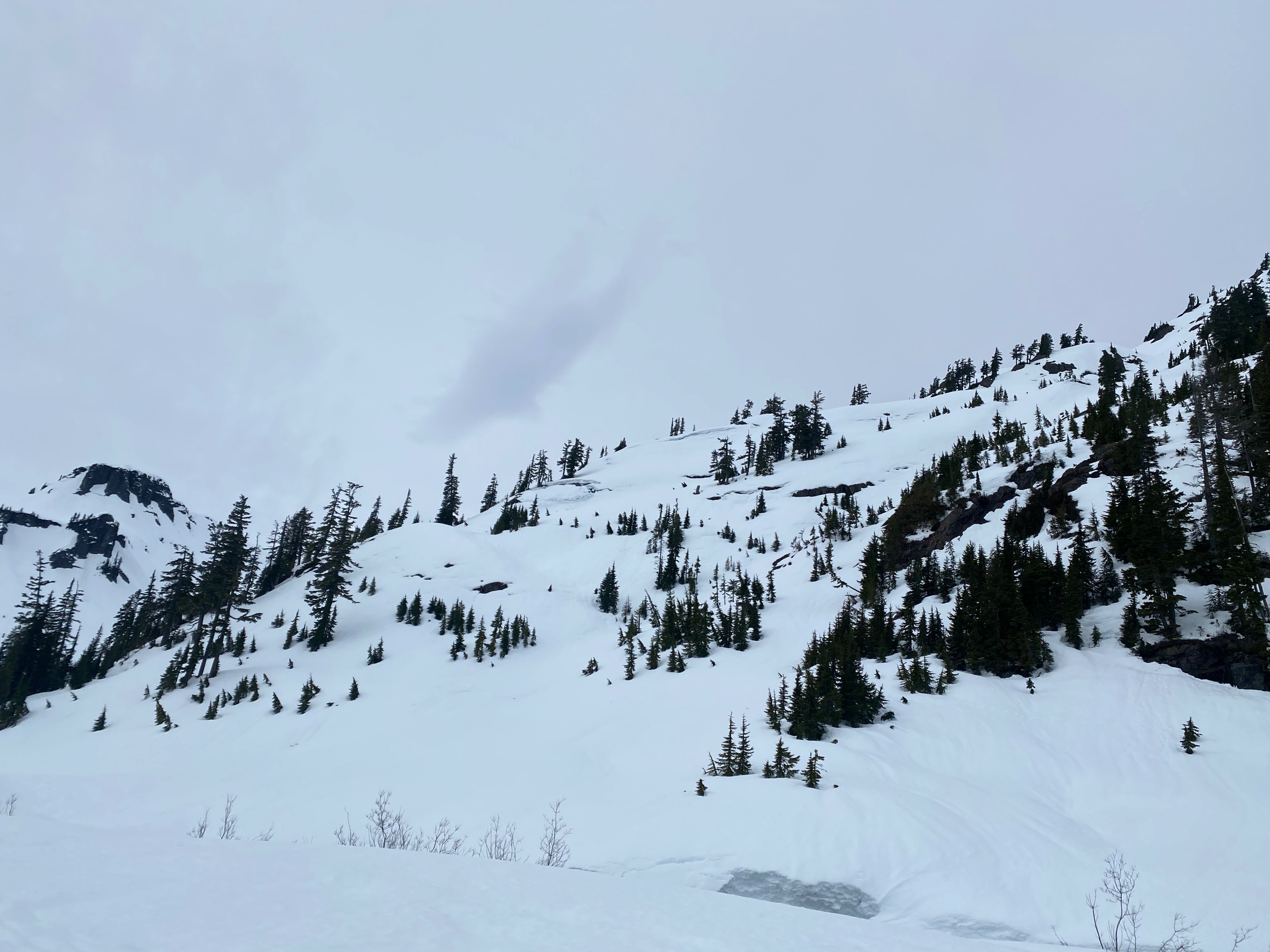
All in all besides the warming up of the surface snow there where no true signs of instability. Temperatures did not warm enough to instigate rollerballing or wet loose avalanches activy off rock/cliff faces, trees, or other snowpack irregularities.
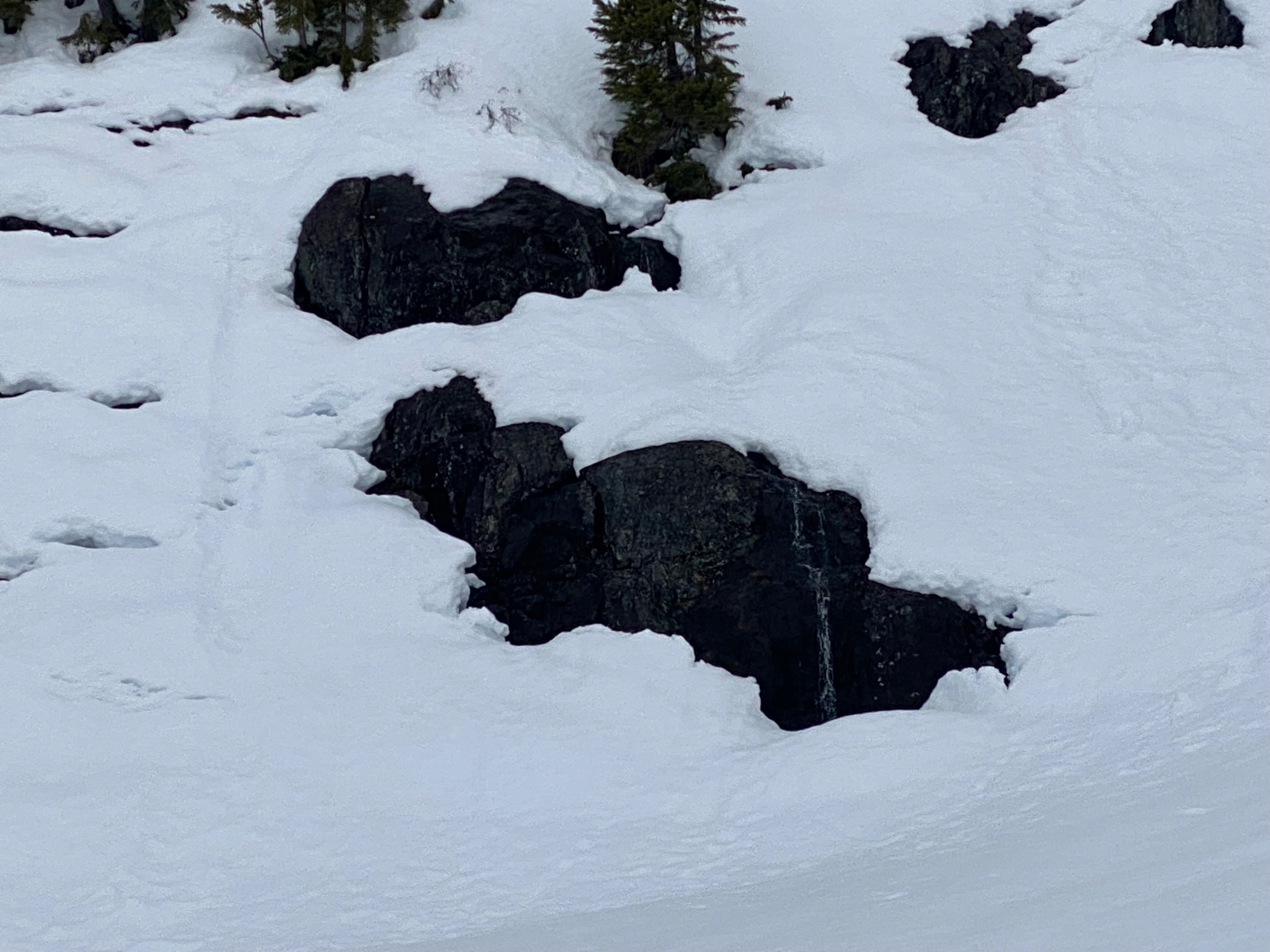
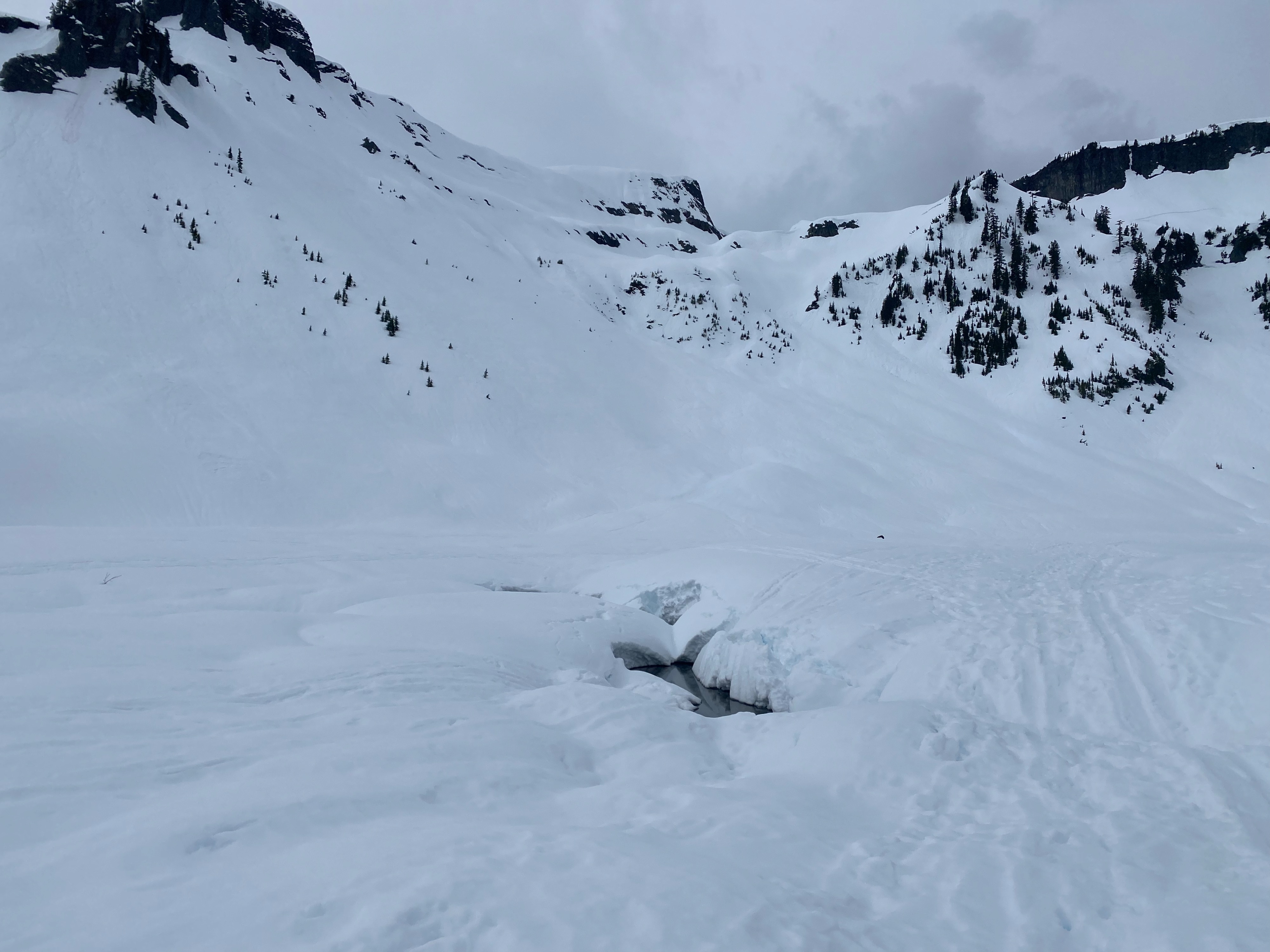
Many glide cracks on the E -S side of Herman and the north east side of Table Mountain but no activity.Weather
- Air Temp
- 40
- Cloud Cover
- obscured
- Wind Loading
- none
- Rain Elevation
- I honestly have no idea
- Recent Snowfall
- 0
- Snow Avail For Transport
- none
Warm throughout the day, however a breeze from the east brought in a small snow storm and helped cool things down. After the storm the clouds lightened and the breeze stilled, the high clouds trapped in solar radiation, causing a greenhouse (warming) effect. I took an air temperature measurment at 1:30 pm while at 5300' of 38˙ F. Temperatures at 2:00 pm when I returned to my car where 45 degrees (4100').
Snowpack
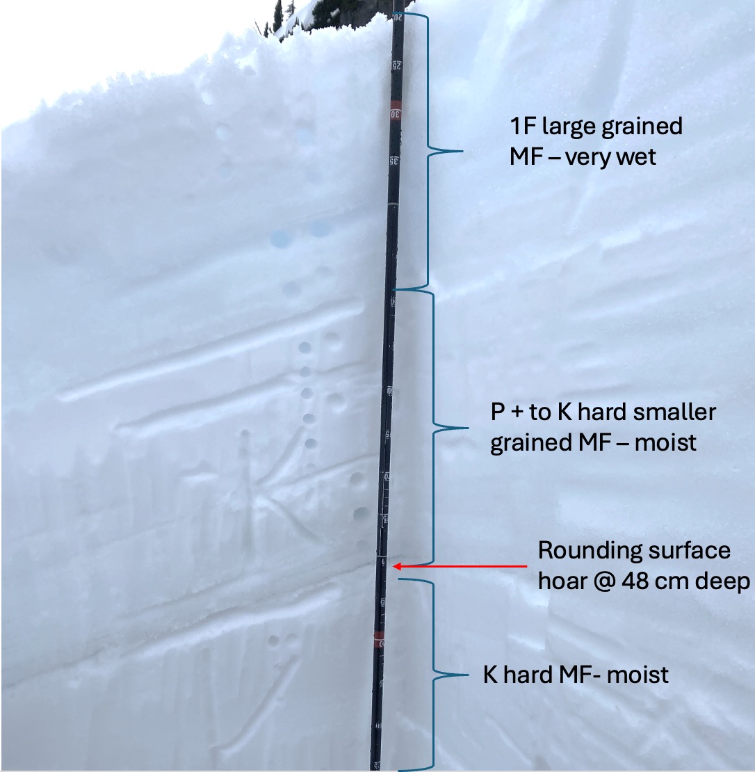
I dug a snowpit on a NE face at 5300' which maybe seemed silly considering the warm weather and evidence of flow through the snowpack, but I was curious and wanted to dig down to the surface hoar to see if there was any possibility it had been presearved during last weeks warm weather and subsequent melting. I also wanted to see how far down the wetting of the snowpack had made it.
There where a variety meltfreeze crust layers within the first 1.5' of snow. In a shovel shear test I had to yank pretty hard on my shovel but was able to break the snow 20 inches below the surface with a relatively clean shear. At this interface I found large rounded grains with some angularity, indicating that I had potentially found the buried surface hoar and that it was healing. Despite there being several knife hard MF crusts within the snowpack itself, it was nice to see that snow hardness was rightside up (harder snow below lighter snow).
Above the predicted rounding surface hoar was a pretty stout MF crust and was likely a pooling surface for water flowing through the snowpack. That being said I dont believe this layer had capped the layer below it. The snow below this layer also seemed to be fairly moist but did not contain any stout MF crust like the 1.5 ft of snow above it had. Ultimatley it was hard to tell how deep down the warming had effected the snow but the most prominent warming was the top 1.5'.