
Quick report
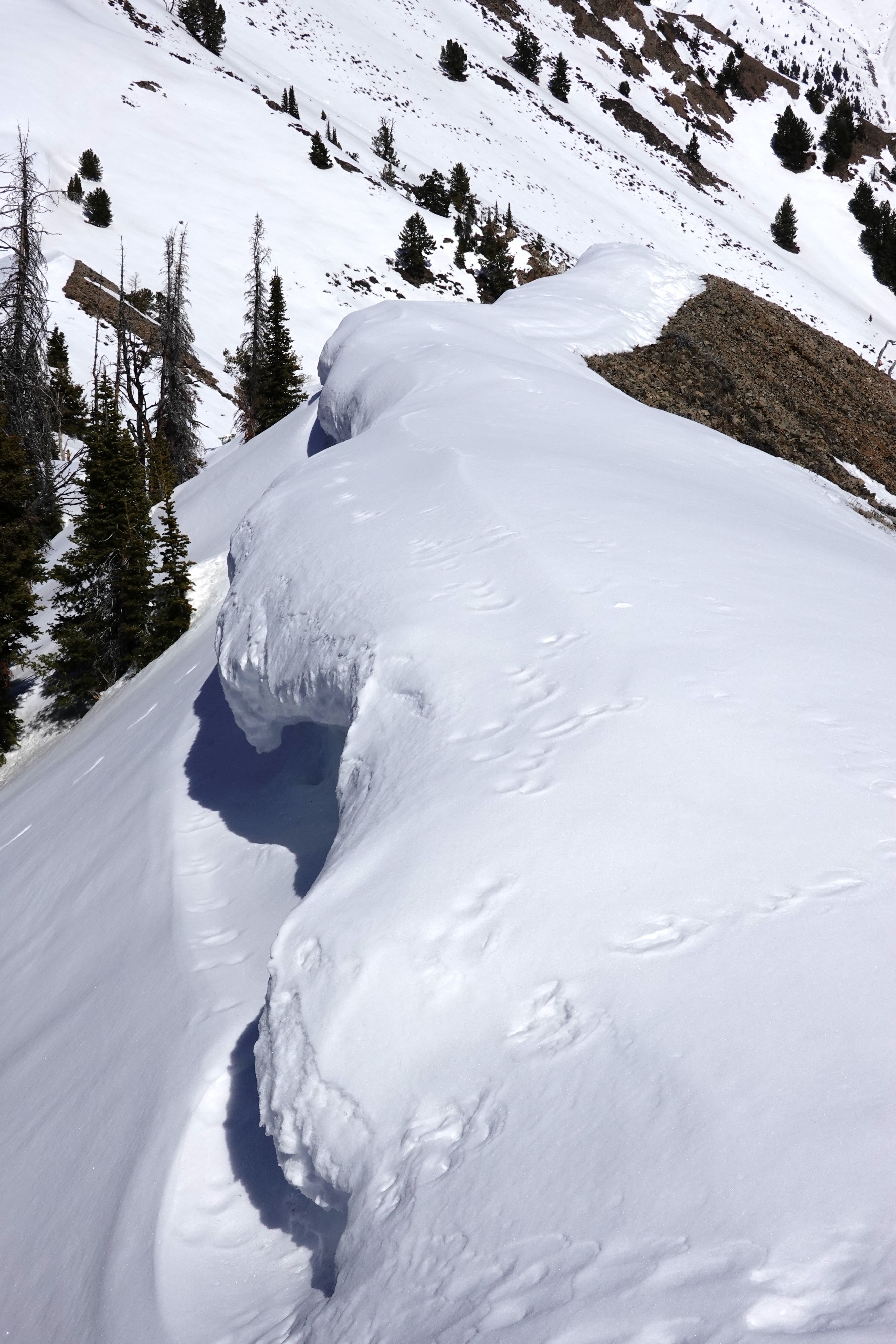
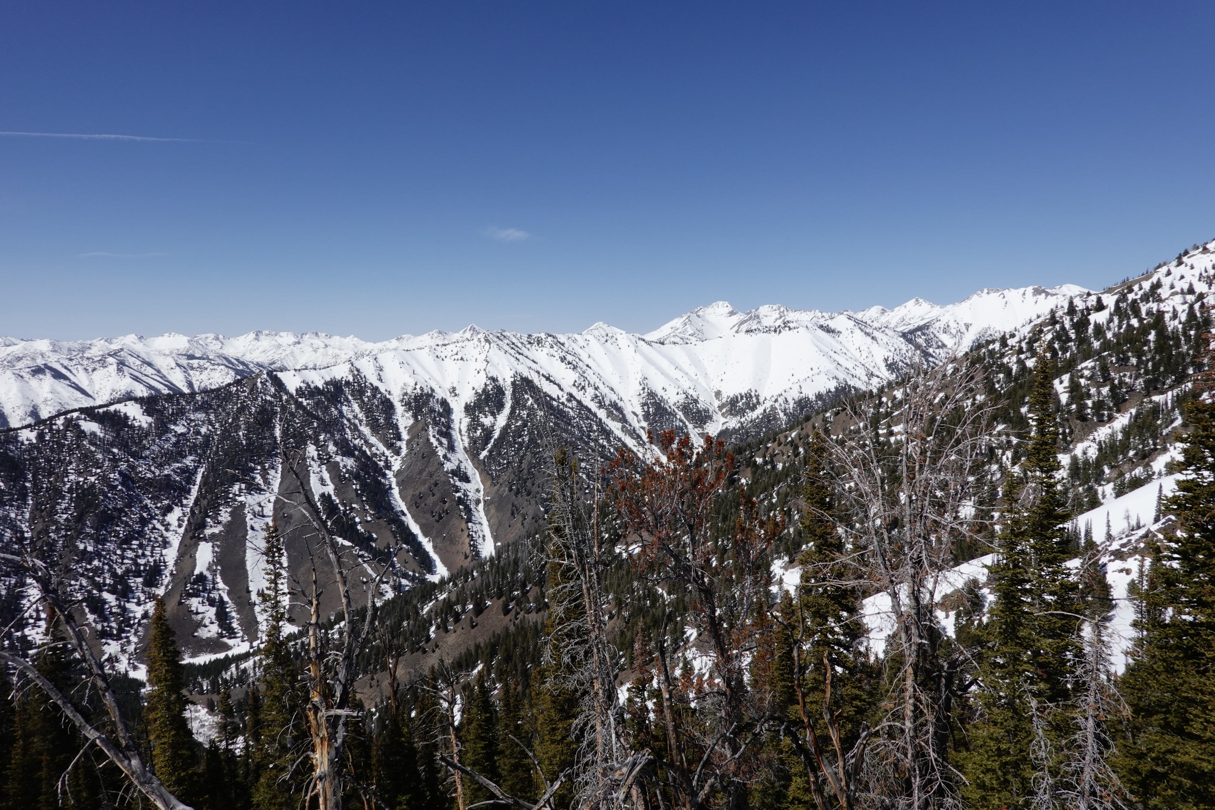
We found generally stable conditions today above Eagle Creek. Surfaces were mostly refrozen midday, but quickly softened with direct sunshine and warm temperatures. Despite deteriorating travelling conditions, we did not observe any natural wet snow avalanches before exiting the field around 3:30pm. It seems the surface snow is locked up for now.
Weather
- Cloud Cover
- clear
- Wind Loading
- none
- Recent Snowfall
- 5
- Snow Avail For Transport
- none
Warm and calm out there with the occasional light SSW breeze.
Snowpack
The snowpack was mostly locked up from valley inversions up to 7800 feet, then gradually softened above that. Cold snow does remain on true north aspects above 9000 feet. Below 9000 feet, any soft snow remaining was moist by early afternoon and gloppy for skis/skins. S and SW aspects are mostly melted out up to 9500 feet (and 10,000 feet in many locations).
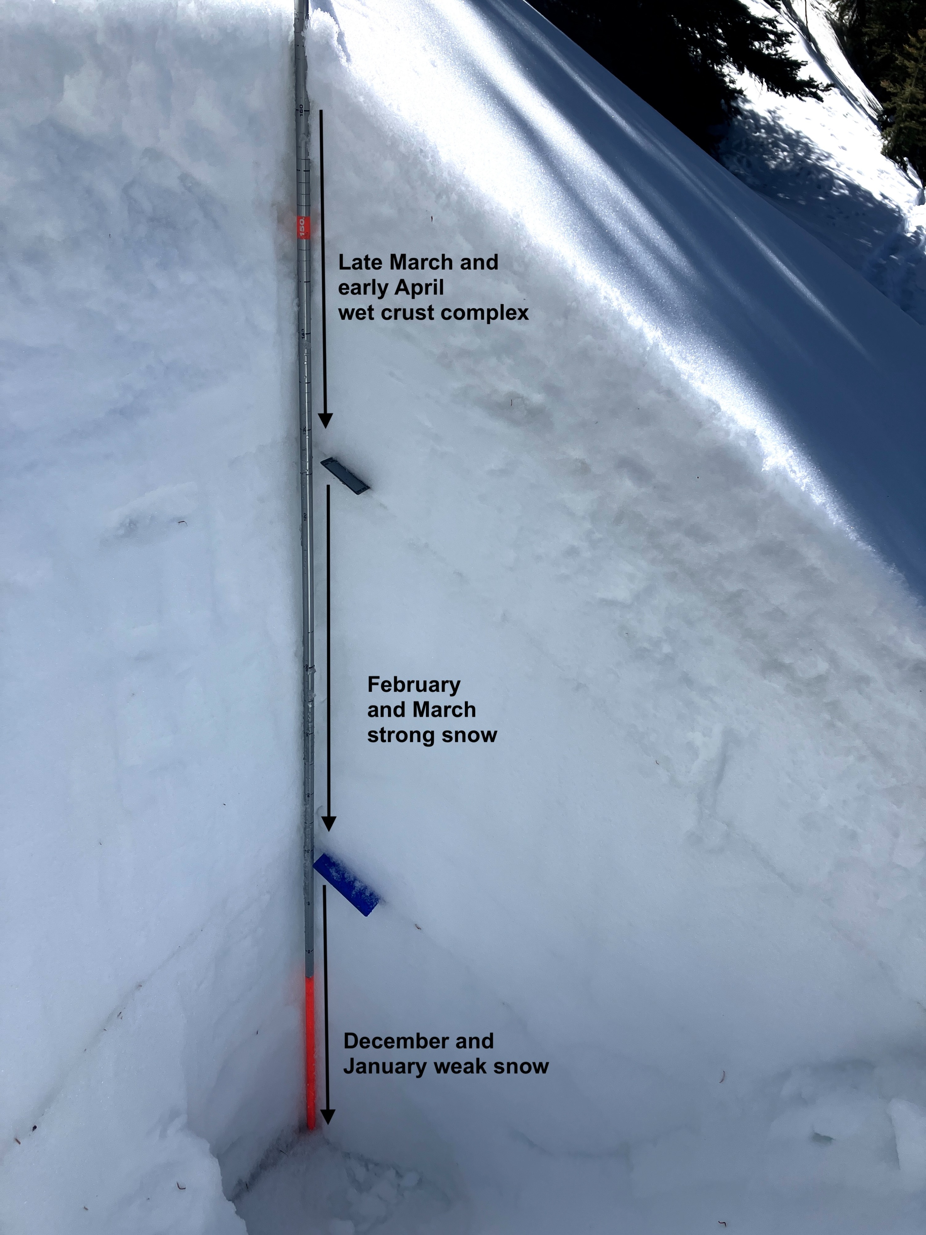
We dug a pit at 8900' on a NW aspect to investigate the snowpack structure on the solar margin in middle elevations and found three distinct layers:
1) 1 foot of crust-facet-wet grains matrix (late March/early April snowfall and melt cycles)
2) 2 feet of firm settled slab (February and March snow)
3) 2 feet of weak faceted basal snow (December and January snow)
* We conducted a single instability test with unstable results (PST 50/110 END on weak snow just below the 1/31 interface)
* Nothing too concerning here, but we'll be keeping an eye on the old weak January snow as we get prolonged warm-periods over the next month