
Quick report
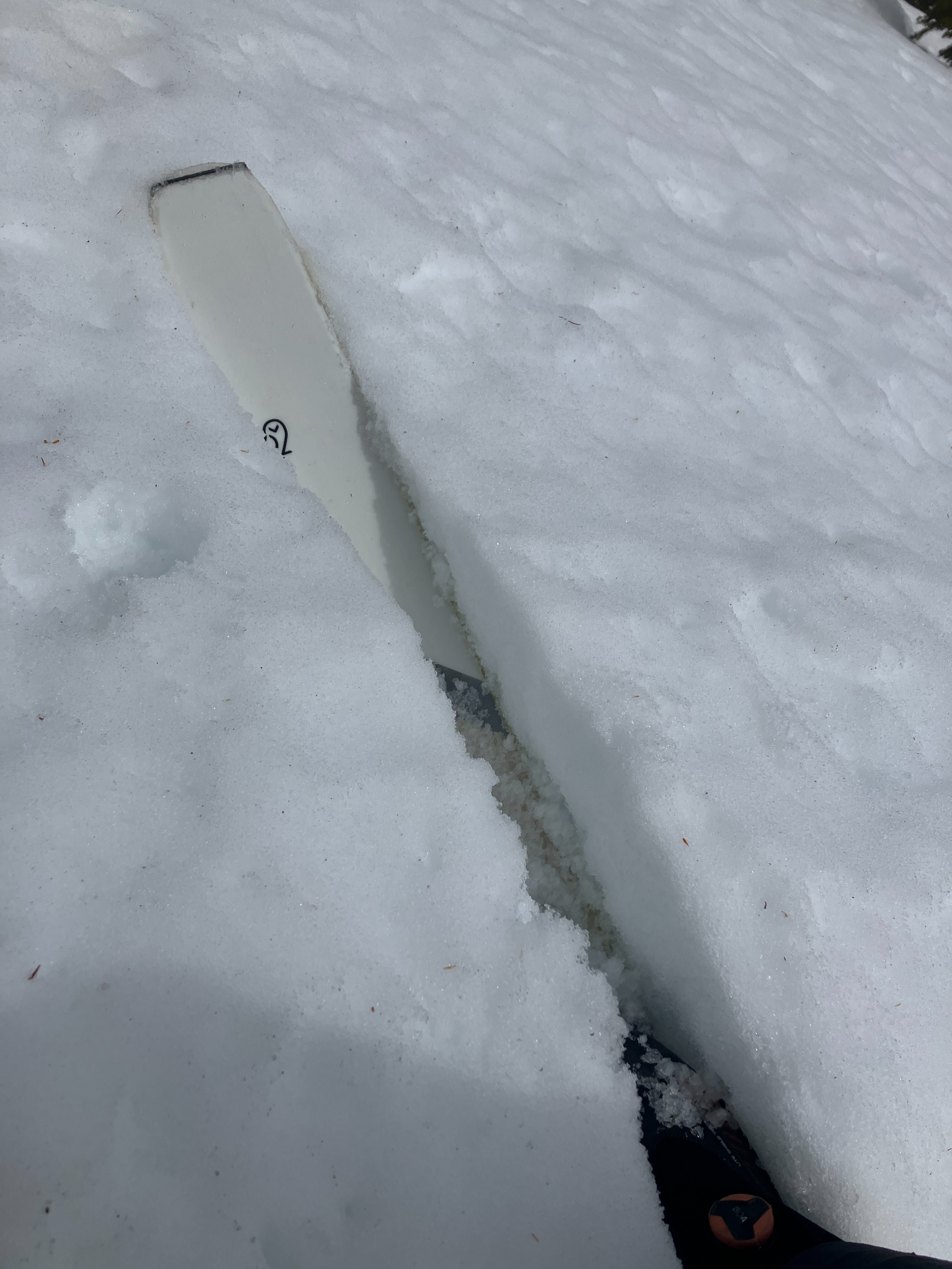
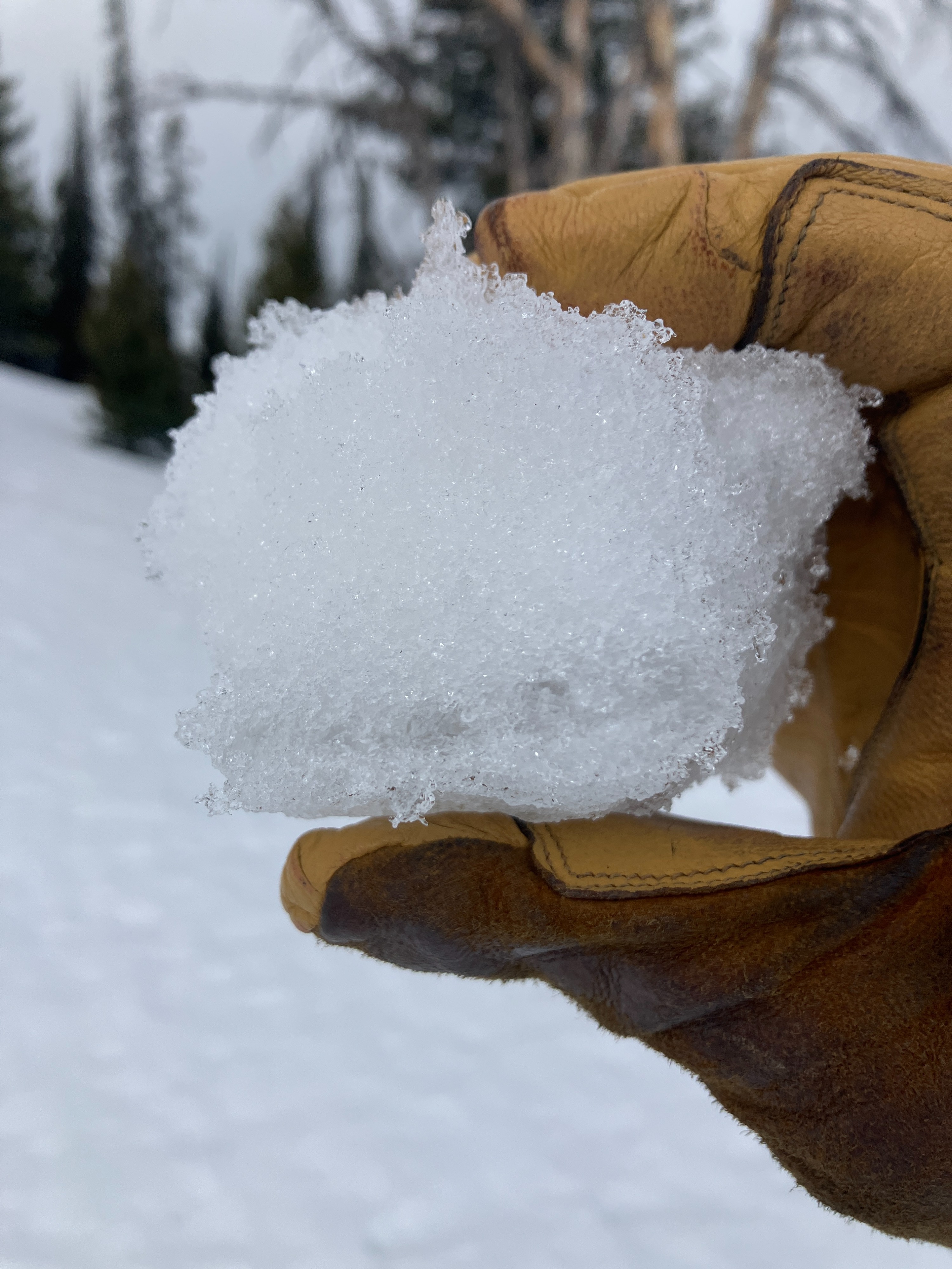
We found generally wet, unsupportable snow surfaces in our travels from 7000' to 9800' today. Most slopes showed the effects of unusually persistent warm temperatures throughout the forecast area over the past week and a half and are rapidly transitioning towards an isothermic state. We did not trigger any avalanches, nor observe any that appeared particularly new, but kept off slopes steep enough to slide where the surfaces were unsupportable. On true northerly slopes above 9000', a dry snowpack exists below ~1 ft of moist grains and pooling water.
Weather
- Air Temp
- 40
- Cloud Cover
- broken
- Wind Loading
- none
- Recent Snowfall
- 0
- Snow Avail For Transport
- none
Warm temperatures and consistent moderate to strong W winds all day with in-and-out sunshine.
Snowpack
Wet snow is the name of the game. Here's where we found it:
- Sun-facing slopes (SE, S, SW, W) were wet to the ground and generally unsupportable up to our high point of ~9800'.
- E-facing slopes were wet to the ground up to 9,000. Between 8000' and 9000', we found a thin supportable remnant ice crust ~10cm below the surface (from the freeze a couple nights ago). Above 9000', the upper 50-100cm of the snowpack was moist to wet but generally more supportable with no obvious softer buried layers in probing.
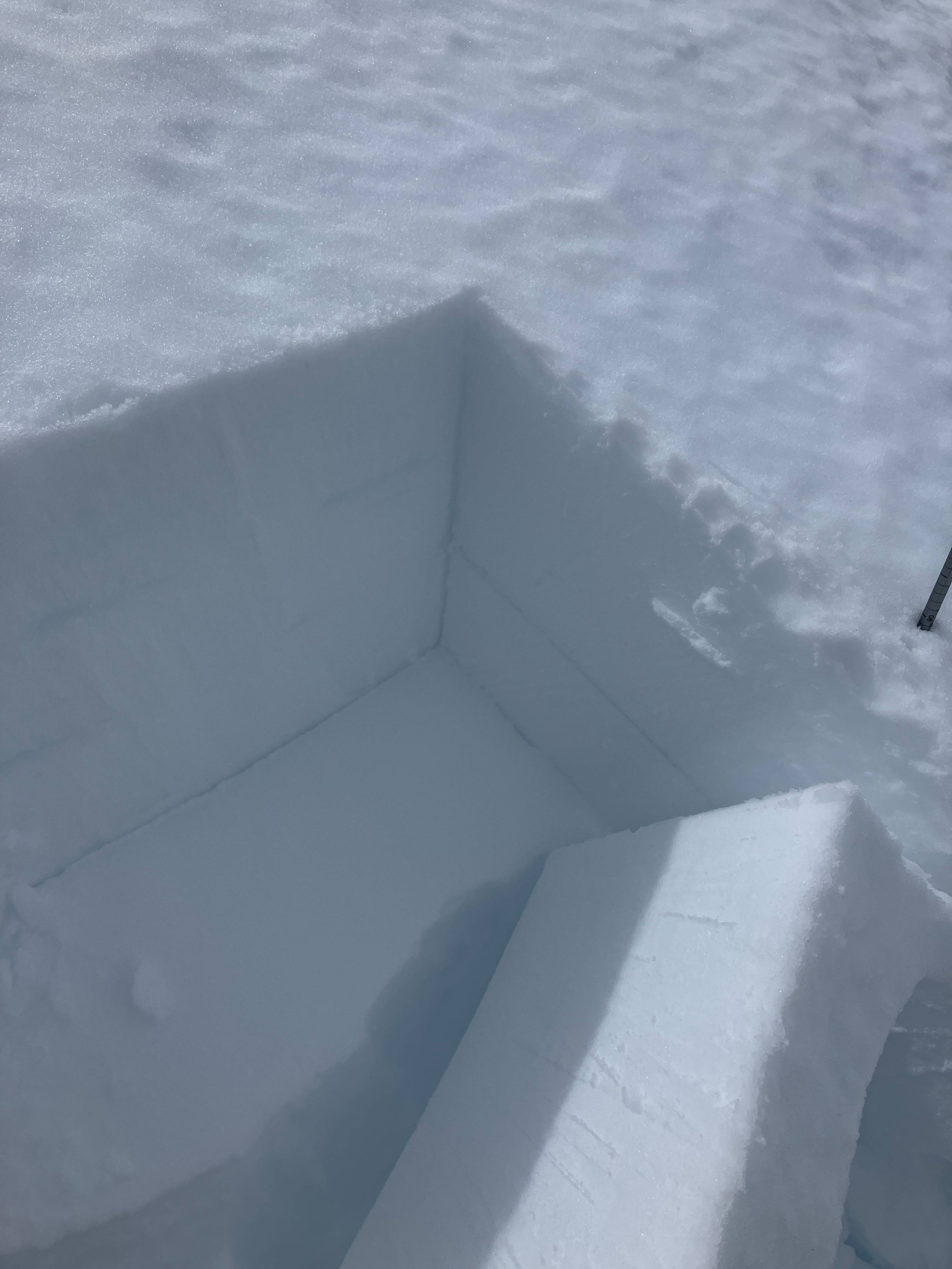
- N-facing slopes were wet to the ground below 8500'. Above 8500', NE aspects were still wet to the ground. Due N aspects had a gradually shrinking wetting front depth with water pooling 30cm below the surface at 9000' (deeper at lower elevations), above a still dry snowpack.
We also found buried surface hoar at an old snow interface buried ~50cm below the surface on a N facing slope at 9050'. It proved unreactive in tests but was at the next likely wetting interface.
Avalanche
- Size
- D2
- Count
- 2
- Aspect
- SE
- Trigger
- N
- Elevation
- 9600 ft
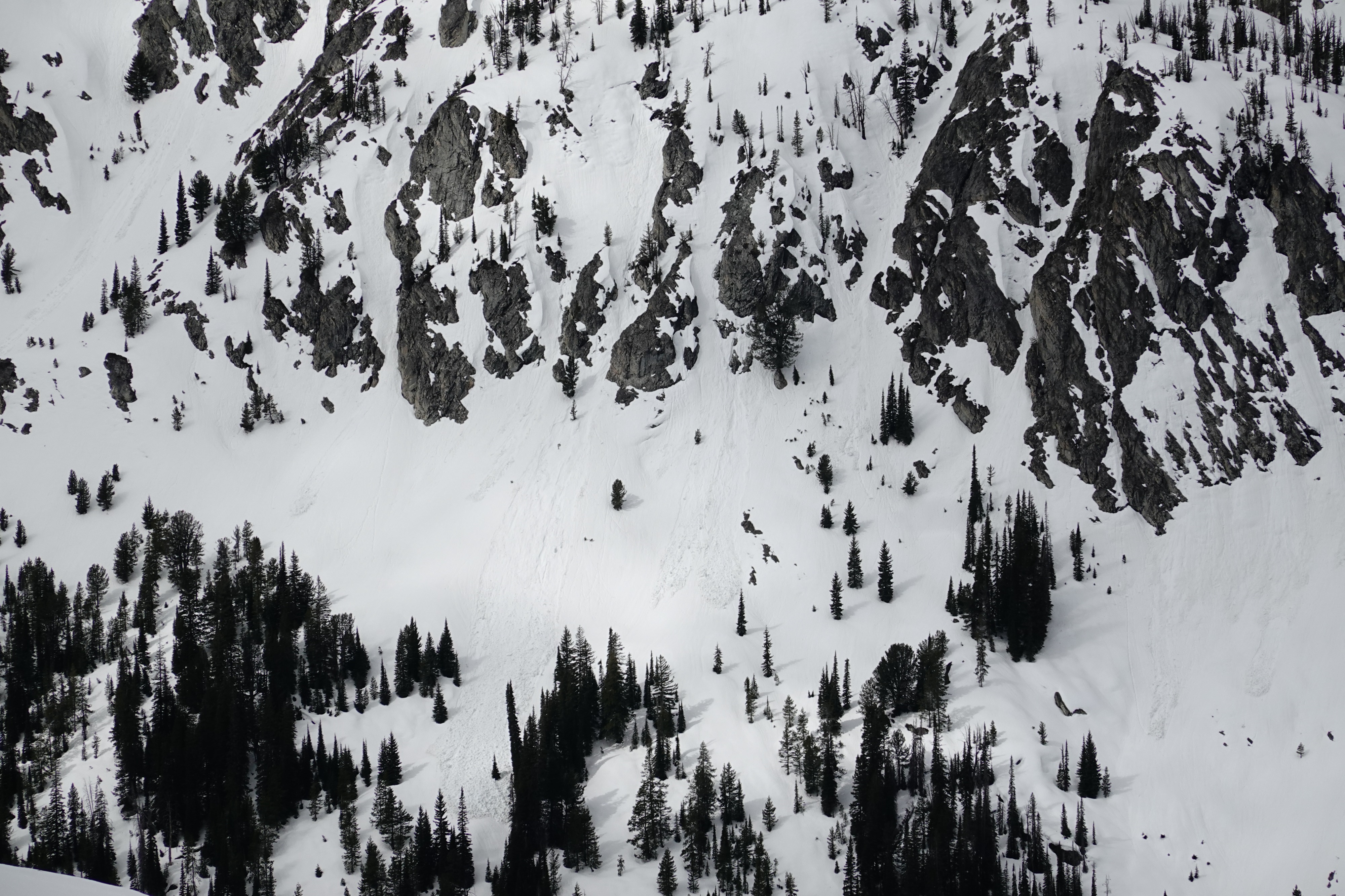
Various wet loose avalanches, some of which were D2 sized, estimated to have failed on 3/20 during the warmest of the heat wave. These primarily were observed on S and SE aspects.