
Quick report
Wet saturated upper snowpack, though it's beginning to gain strength and become more supportive.
Wet, saturated upper snowpackWeather
- Air Temp
- 35
- Cloud Cover
- obscured
- Wind Loading
- none
- Rain Elevation
- 4800
- Recent Snowfall
- 5
- Snow Avail For Transport
- small smounts
Light to moderate precipitation fell as wet snow and rain. Overnight accumulation of 3-4cm at 4,200ft. Temperatures warmed by mid-AM with snow levels rising. It seemed to waver between 4,500-4,800ft.
Snowpack
Overall, the wet to moist snowpack is slowly gaining strength as temperatures have cooled and overnight lows have dropped below freezing.
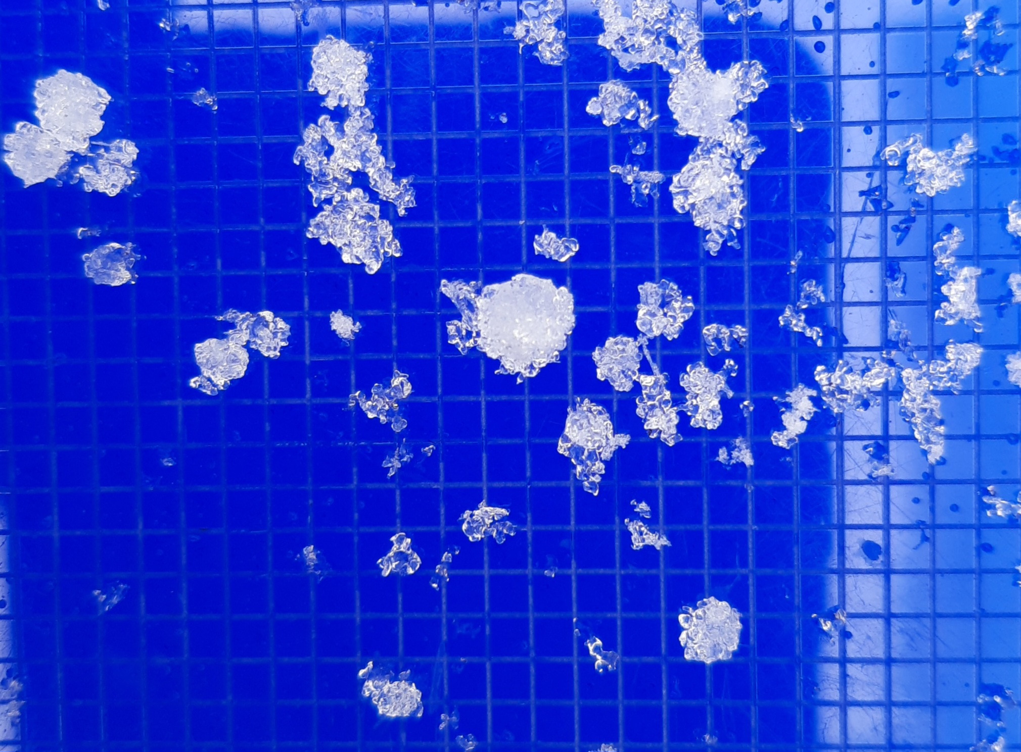
The surfaces were moist, new snow from 4,100-5,500ft. Just under the surface was a soft, moist crust that supported a person on skis but not boots.
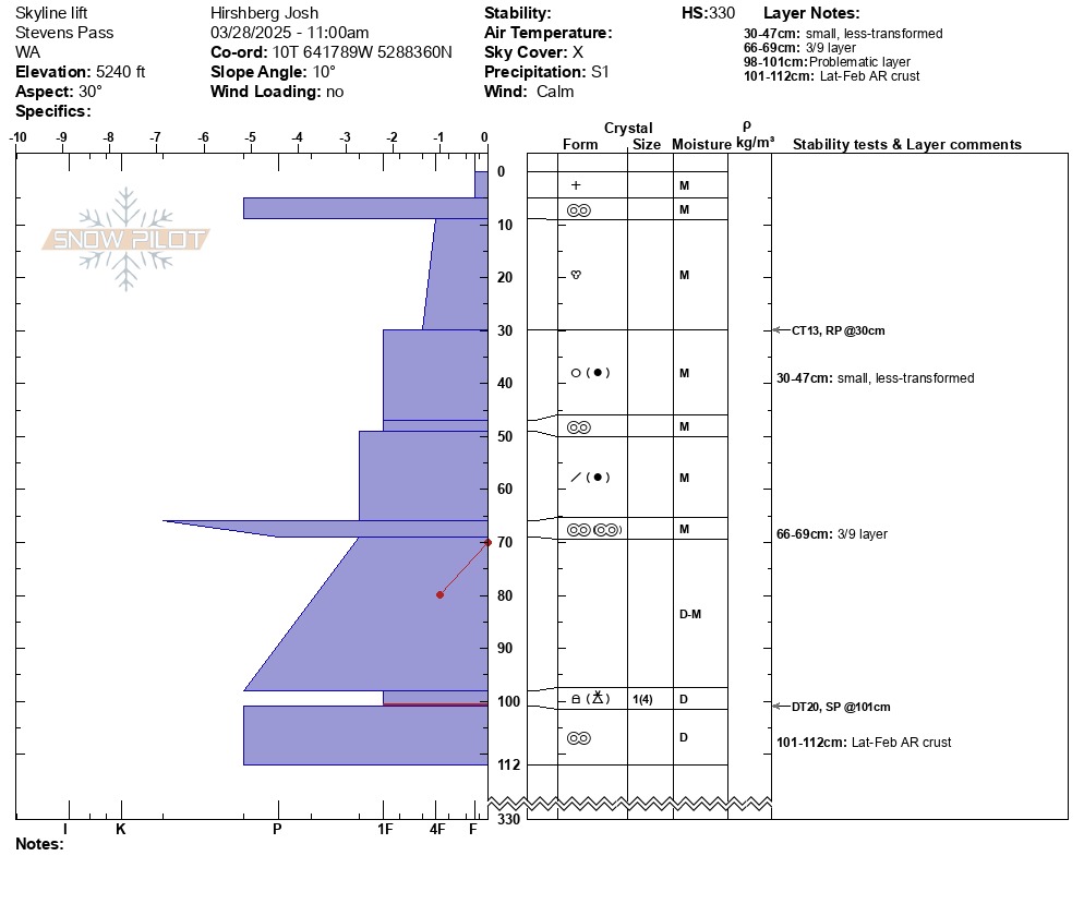
At a profile site on Cowboy Mtn, 5,240ft, NE, I found layering that was still recognizable by dates and events prior to this past week's (23rd-25th) rain event. Under 5cm of new snow, the subsurface crust was 4cm thick and Pencil hard, but not stout. It was softening as the new snow and rain moistened it during the day. The top 30cm of the snowpack had fully transitioned to larger melt forms, and the top 70-80cm of the snowpack was moist. Both the March 9th crust, down 66cm, and the late-Feb AR crust, down 101cm, were evident. Most notable was a thin, relatively weak layer of large (3-5mm) graupel and rounding facets (1mm) down 98cm from the surface. This was 1Finger hard and sandwiched between overlying Pencil+ slabs and an underlying Pencil+ crust. A Deep Tap test produced sudden test results down 101cm, DTH(SP). While I don't expect this weak layer to be an issue for triggered avalanches, it could account for some of the deeper natural avalanches that occurred at upper elevations on the 24th and 25th.
Avalanche
No recent avalanches