
Quick report
- Cracking
- specific
- Collapsing
- specific
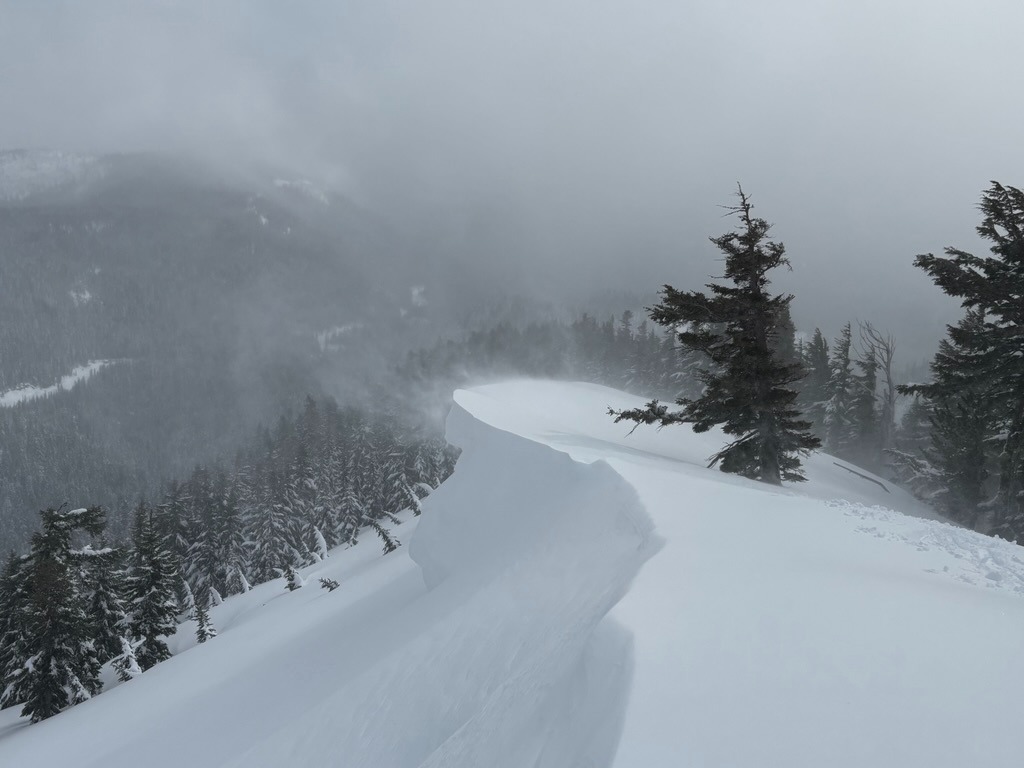
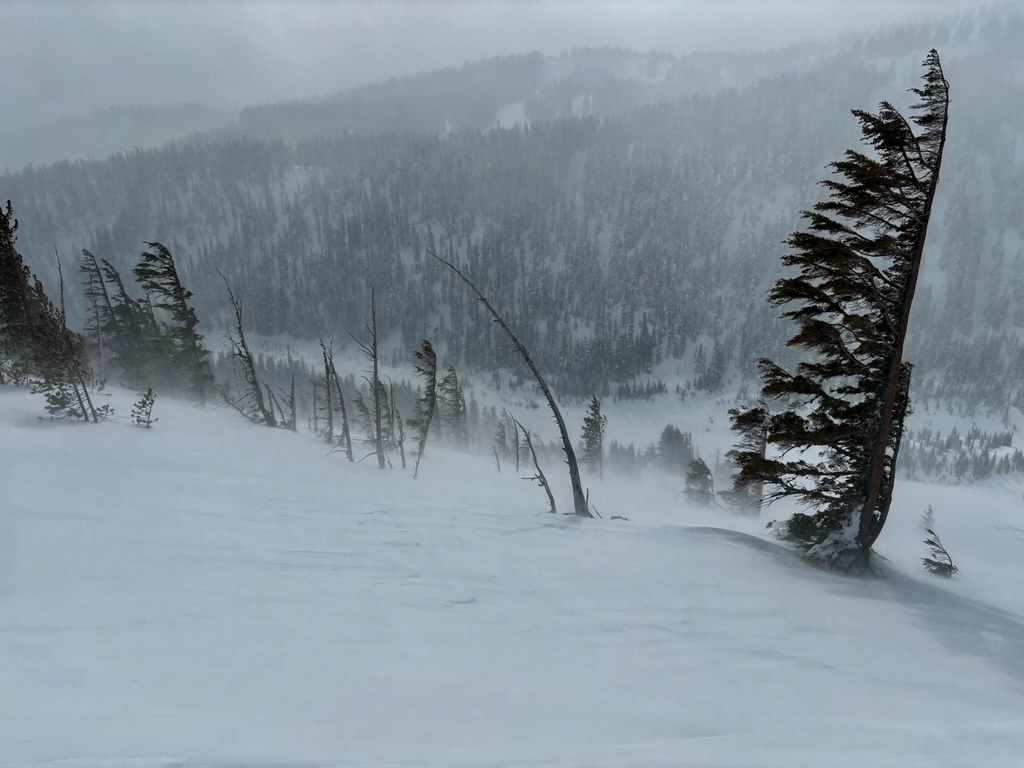
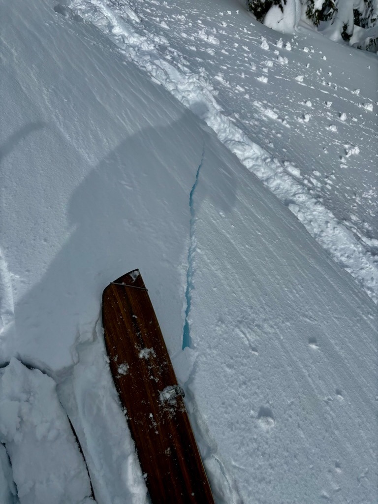
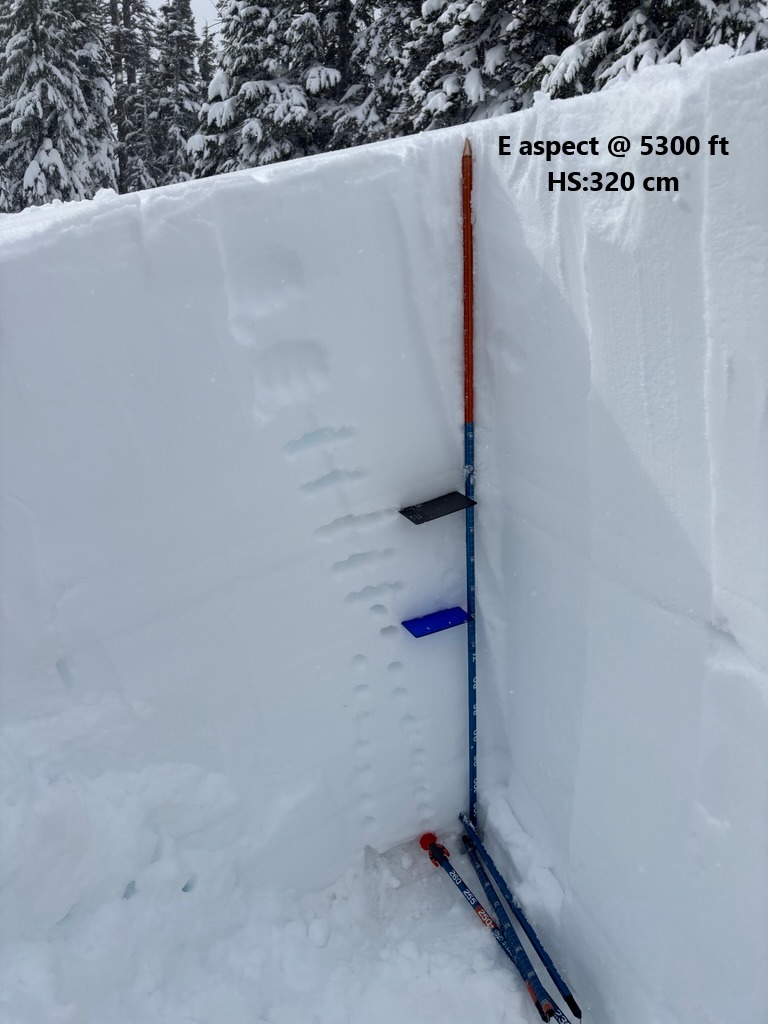
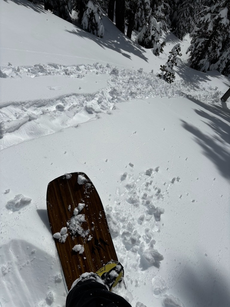
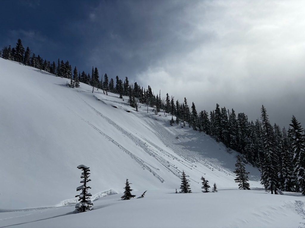
The new snow is deep! We observed 20-30 inches of recent snow resting over the 2/13 interface. It wasn't hard to find instabilities within the new storm snow. Cracking, whumphing, and snowpack tests failing easily were good enough indications to keep it mellow. Once we crested above 5800 ft, intense wind loading and stiff, reactive slabs became more prevalent. Some sun-induced, wet snow instabilities occurred during the late morning as thick clouds gave away to a few warm sun-breaks.
We observed signs of instability within the new storm snow and wind loaded terrain.Weather
- Air Temp
- High 20's
- Cloud Cover
- overcast
- Wind Loading
- intense
- Rain Elevation
- 4000
- Recent Snowfall
- 40
- Snow Avail For Transport
- large amounts
The morning started stormy, but winds and precipitation rates decreased around 10. By 11 am we started observing some sun breaks.
Snowpack
We observed anywhere from 20-30 inches of new storm snow from the last 2 days around Newton Canyon. While we observed a few explosive-triggered soft slabs in Heather Canyon, we didn't observe much for storm instabilities until we received a whumph on a wind protected W aspect.
Digging down on both E and W aspects, we found a few mid-storm interfaces ( 15-30 cm below surface) that failed easily with tilt tests and CT's, but no layers showed the ability to propagate with longer columns.
Once we crested above 5800 ft, wind drifted snow became more prominent and proved reactive on test slopes. We found these 1-2' thick slabs to be present on both E and W aspects.
Solar aspects warmed up as clouds gave away to some partial clearing. S/SW aspects should have another crust moving forward.