
Quick report
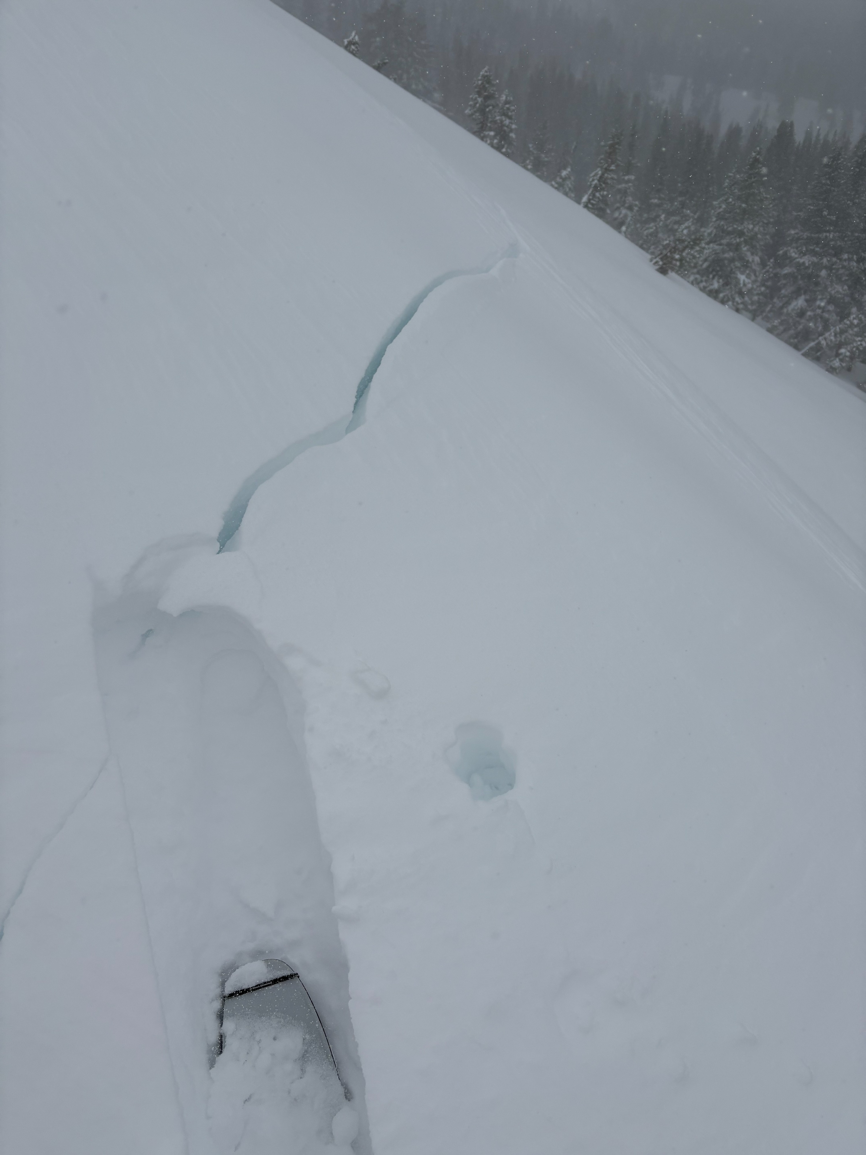
- Cracking
- specific
Weather
- Cloud Cover
- overcast
- Wind Loading
- intense
- Recent Snowfall
- 30
- Snow Avail For Transport
- large amounts
Consistent storm day with S1 to S4 snowfall throughout the day. Southwest winds were strong to gale force along upper ridges transporting snow.
Snowpack
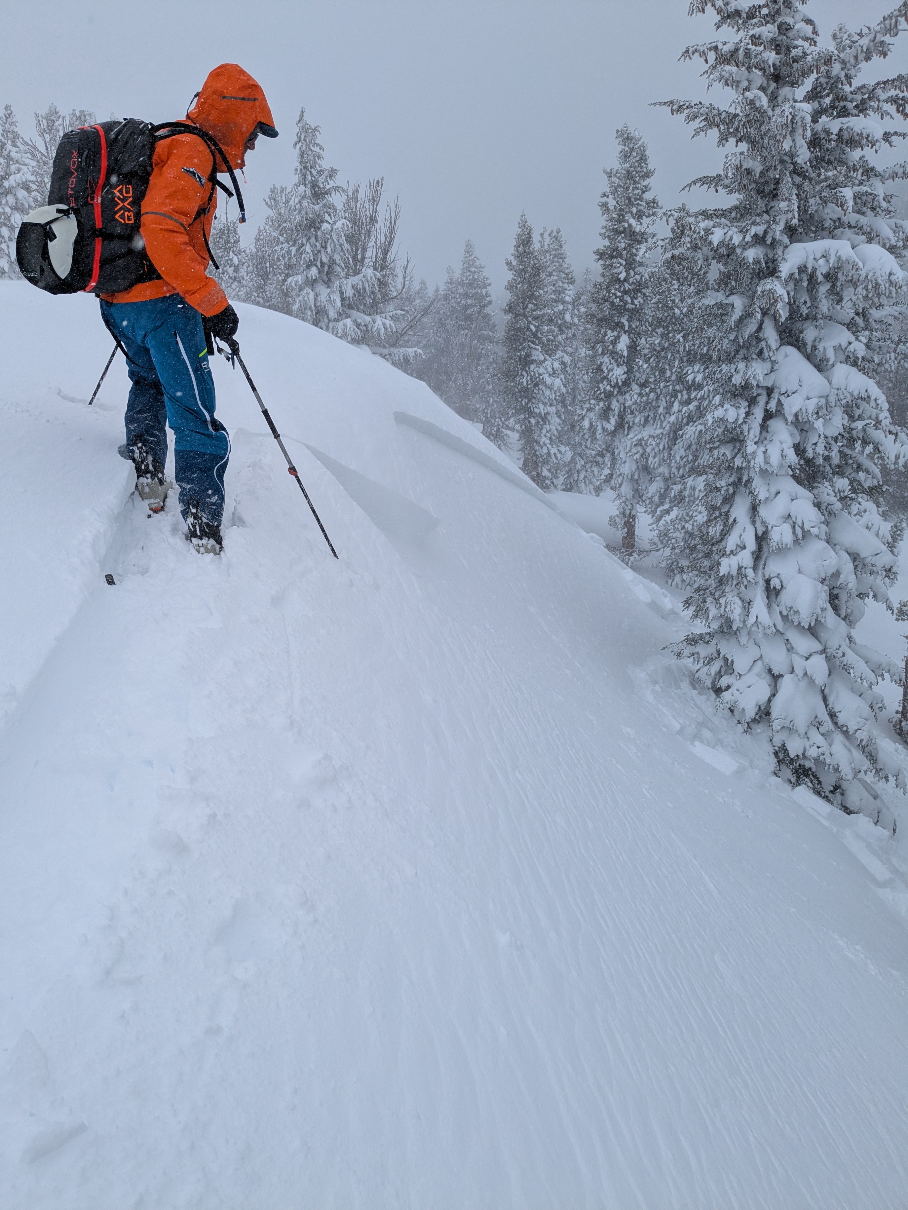
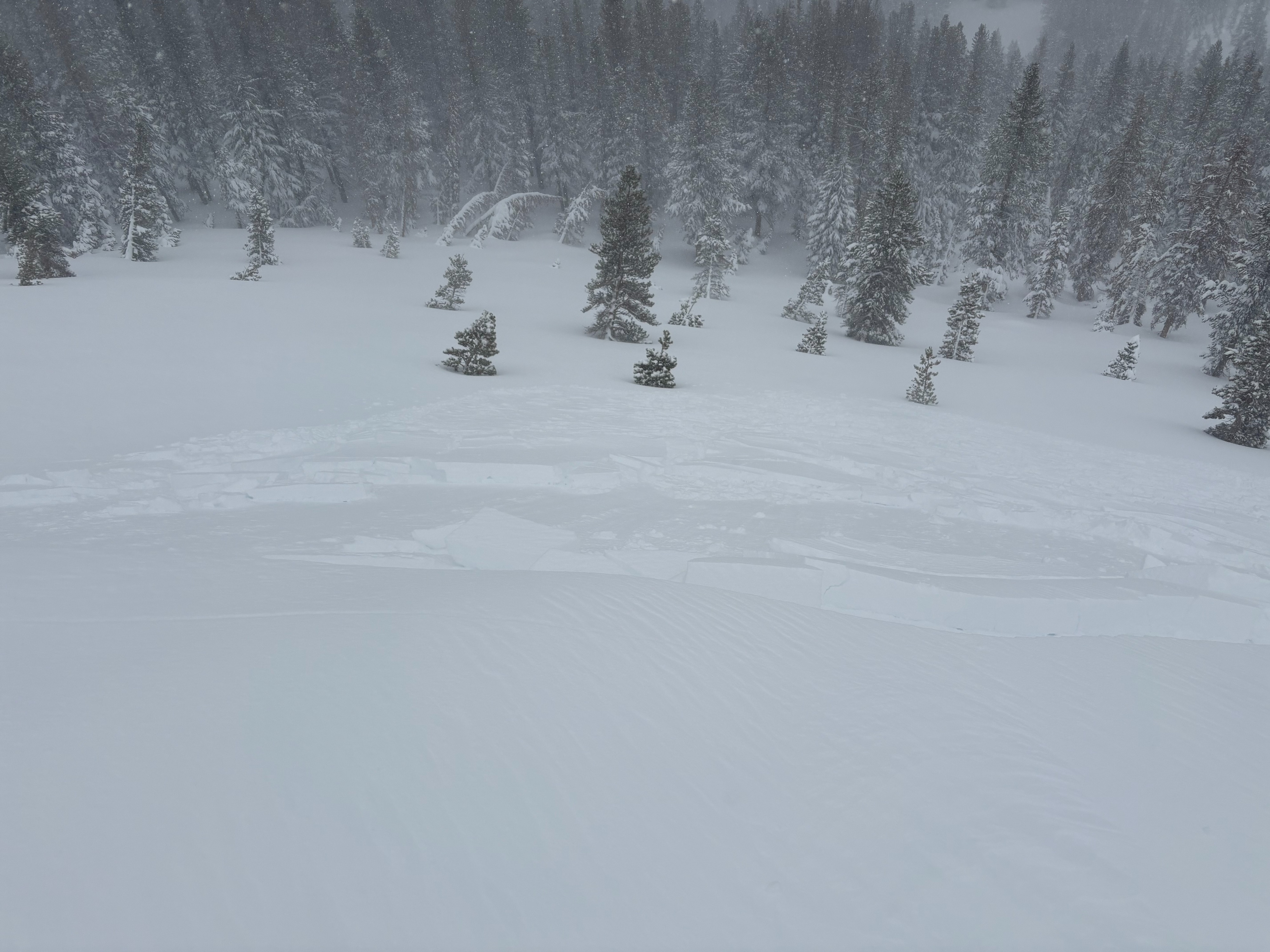
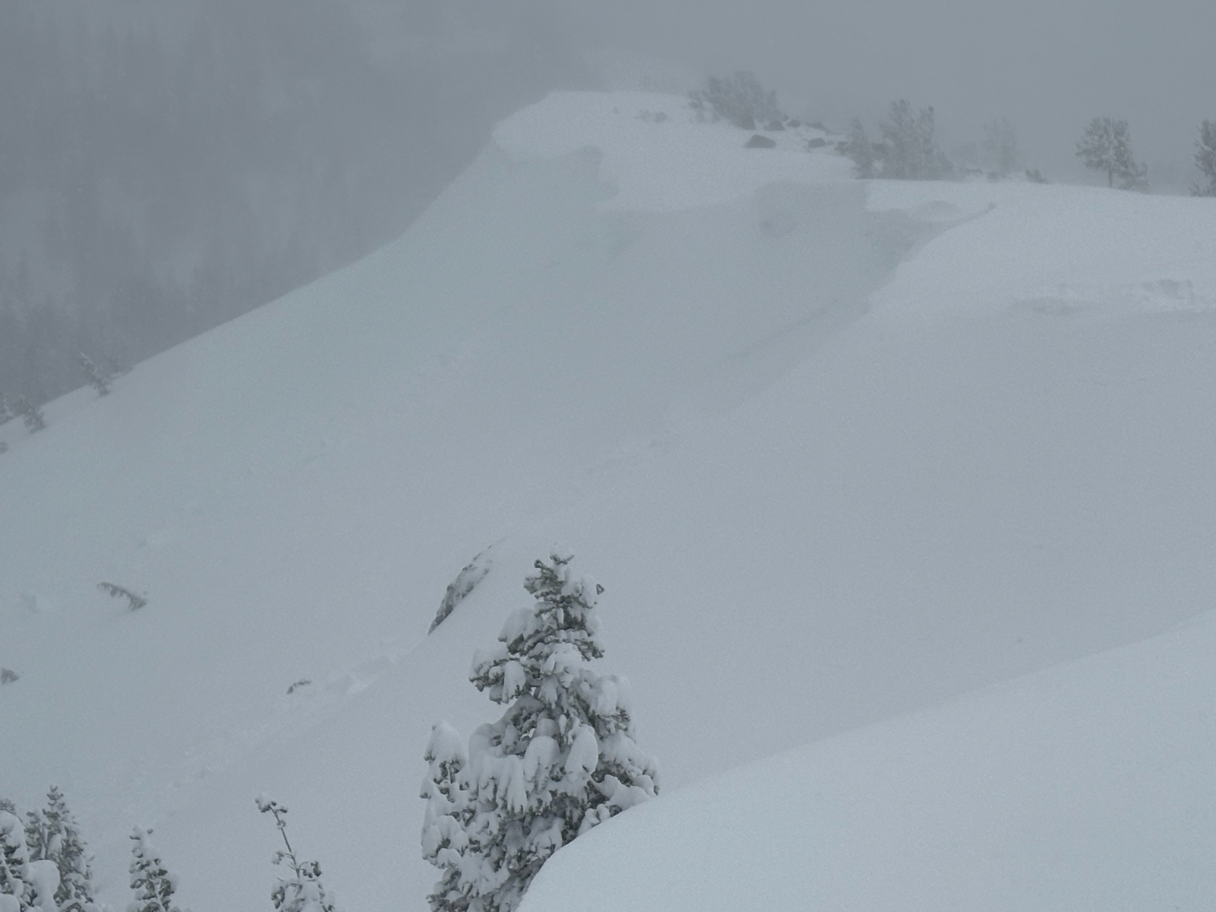
We went to Tamarack Peak today to look at storm snow instabilities. Storm snow totals in this area were near 2 feet, with up to around 12 inches in the last 24 hours with continuing consistent snowfall. We experienced little signs of instabilities in below treeline wind protected terrain. We observed much more reactive avalanche conditions in near and above treeline areas where wind deposited storm snow existed. There was a density change in the storm snow with 4F+ over F hard storm slab conditions that existed with wind load and not in wind protected areas. This density change along with some graupel was found to be the failure layer of all the avalanche activity that we encountered today. We did see some potentially larger natural avalanche activity that was partially covered up and inaccessible. Most of the avalanches that we intentionally triggered were 8'' to 14'' deep and reactive to small ski kicks or cuts. Sizes ranged from D1 to D1.5 and we did not see any weakness lower in the storm slab down to the old snow/new snow interface. Snowfall continued up to our departure in the mid afternoon.