
Quick report
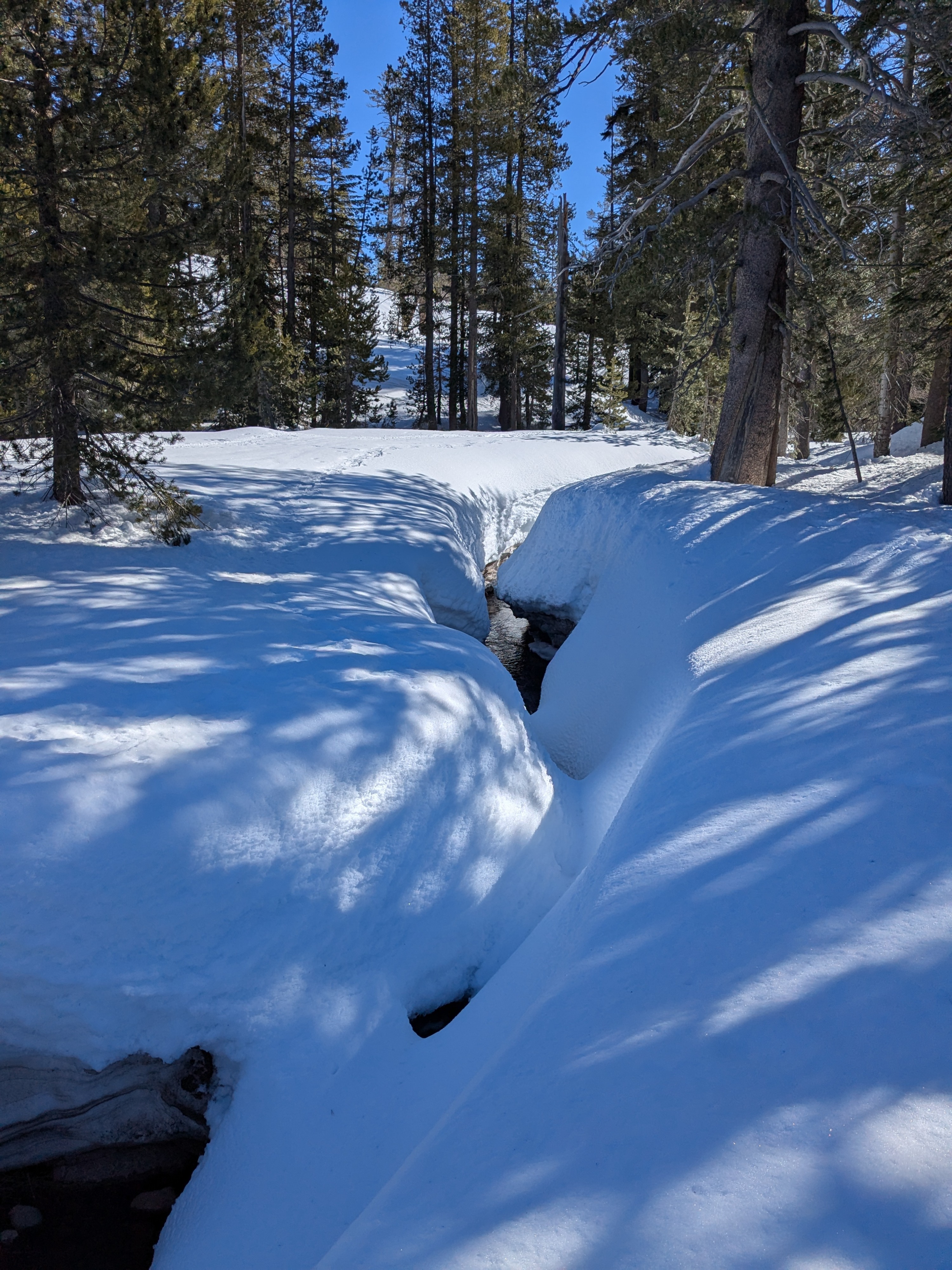
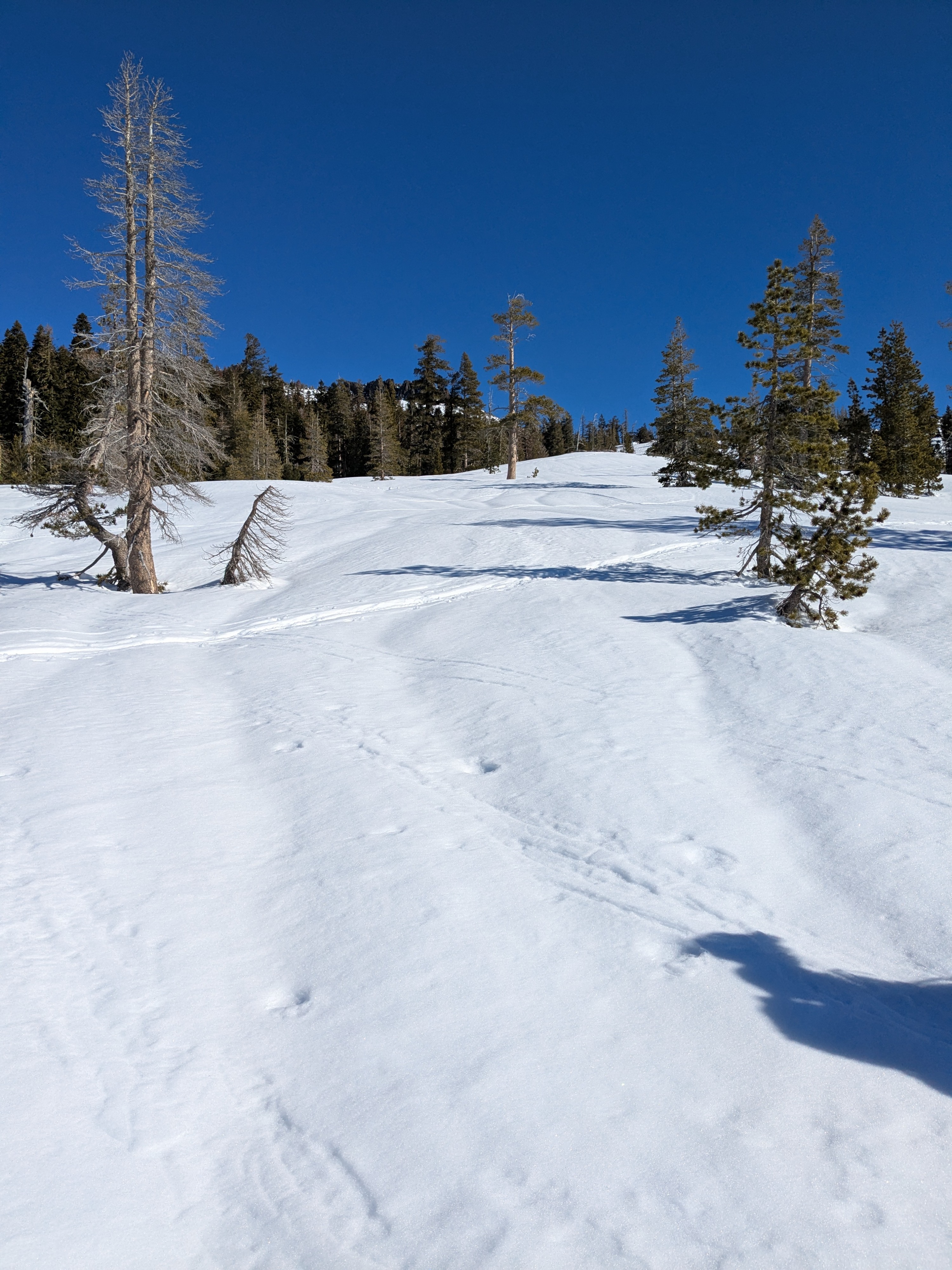
We toured SE-S-SW aspect terrain on the eastern end of Castle Peak this morning. We noted a strong snow surface refreeze on open slopes with the top 2 inches of the snowpack a P hard melt-freeze crust. Under forest canopy the refreeze was weaker, with just 1 inch of 1F hard melt-freeze crust on the snow surface. Underneath the surface crust was moist snow, that had not yet undergone a significant melt-freeze cycle.
By 10:30 am, the snow surface began to melt on open, wind protected SE and S aspects. The SW wind slowed the melt rate on SW aspects, delaying melt by about an hour or so compared to the SE and S aspects.
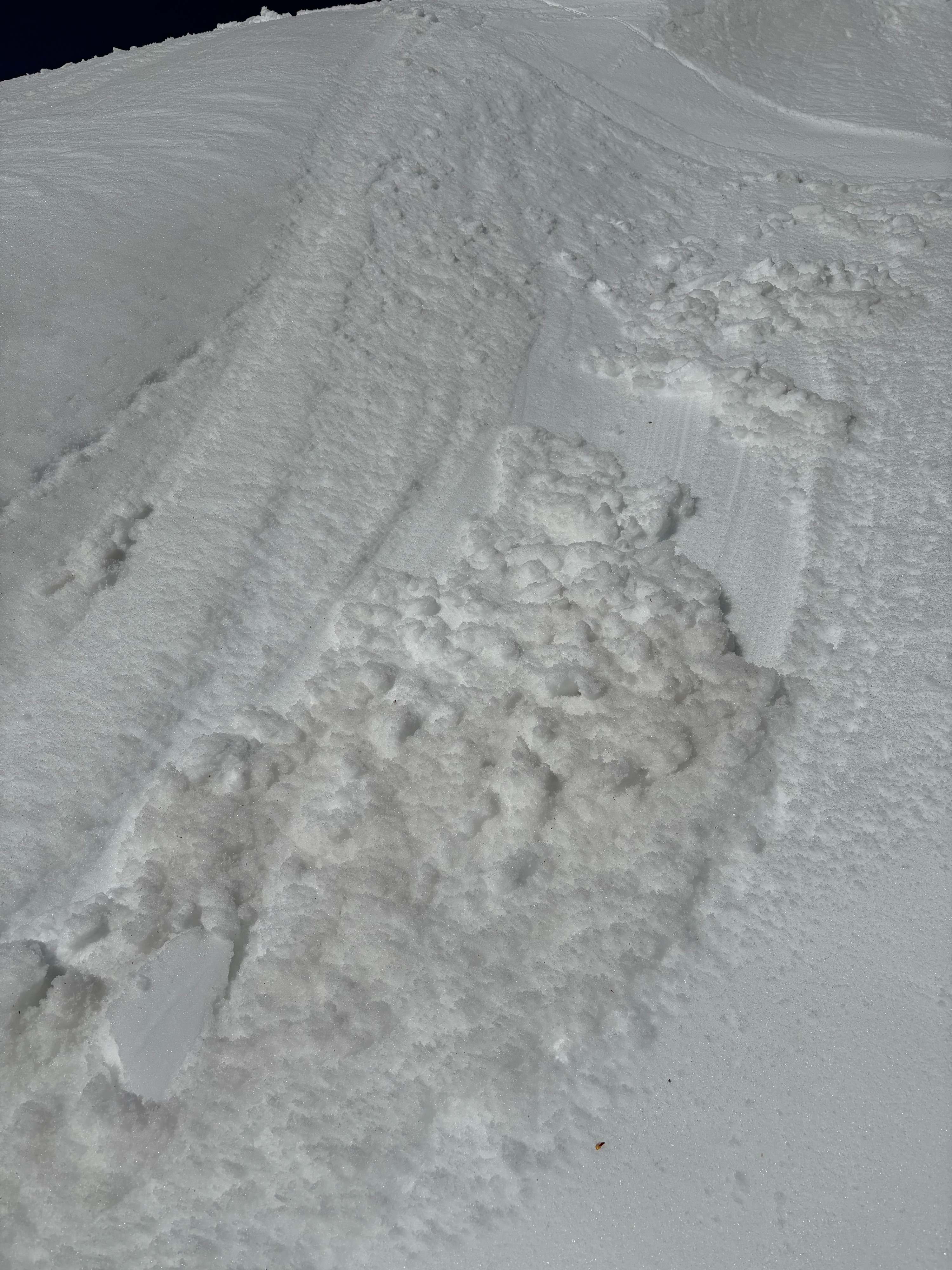
We encountered very little in the way of surface wet snow instability up to our departure from the area at noon. Most ski cuts on test slopes produced nothing, while one ski cut produced a very small wet loose sluff involving just the top 1 inch of snow.
Weather
- Air Temp
- 40s
- Cloud Cover
- clear
- Wind Loading
- none
- Snow Avail For Transport
- none
Well above freezing air temperatures with moderate speed SW winds.