
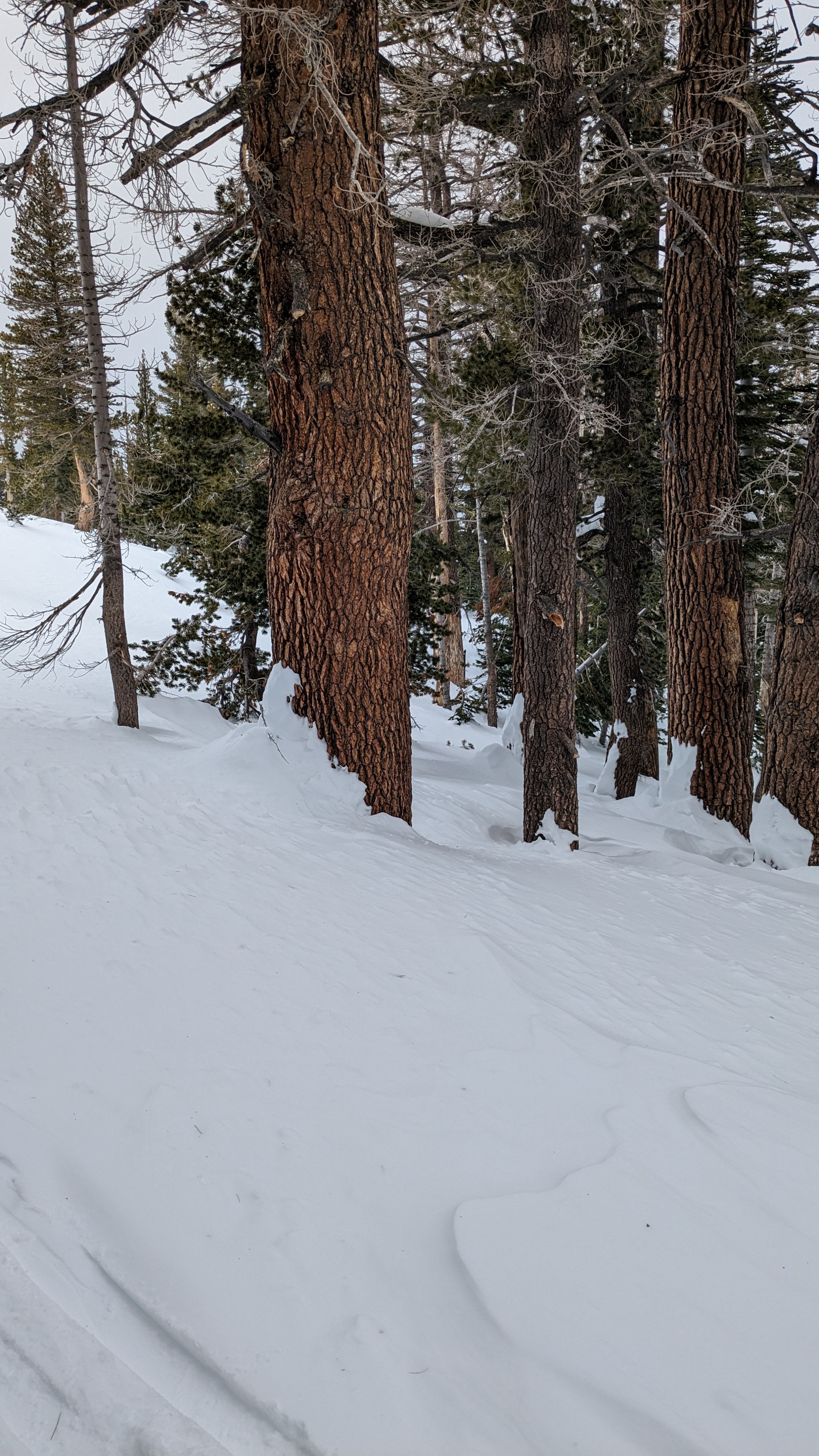
Quick report
We headed to Pickett Peak today, targeting terrain on the eastern side of the forecast area. We expected to find a relatively weak and shallow snowpack in this area. It was deeper and stronger than expected.
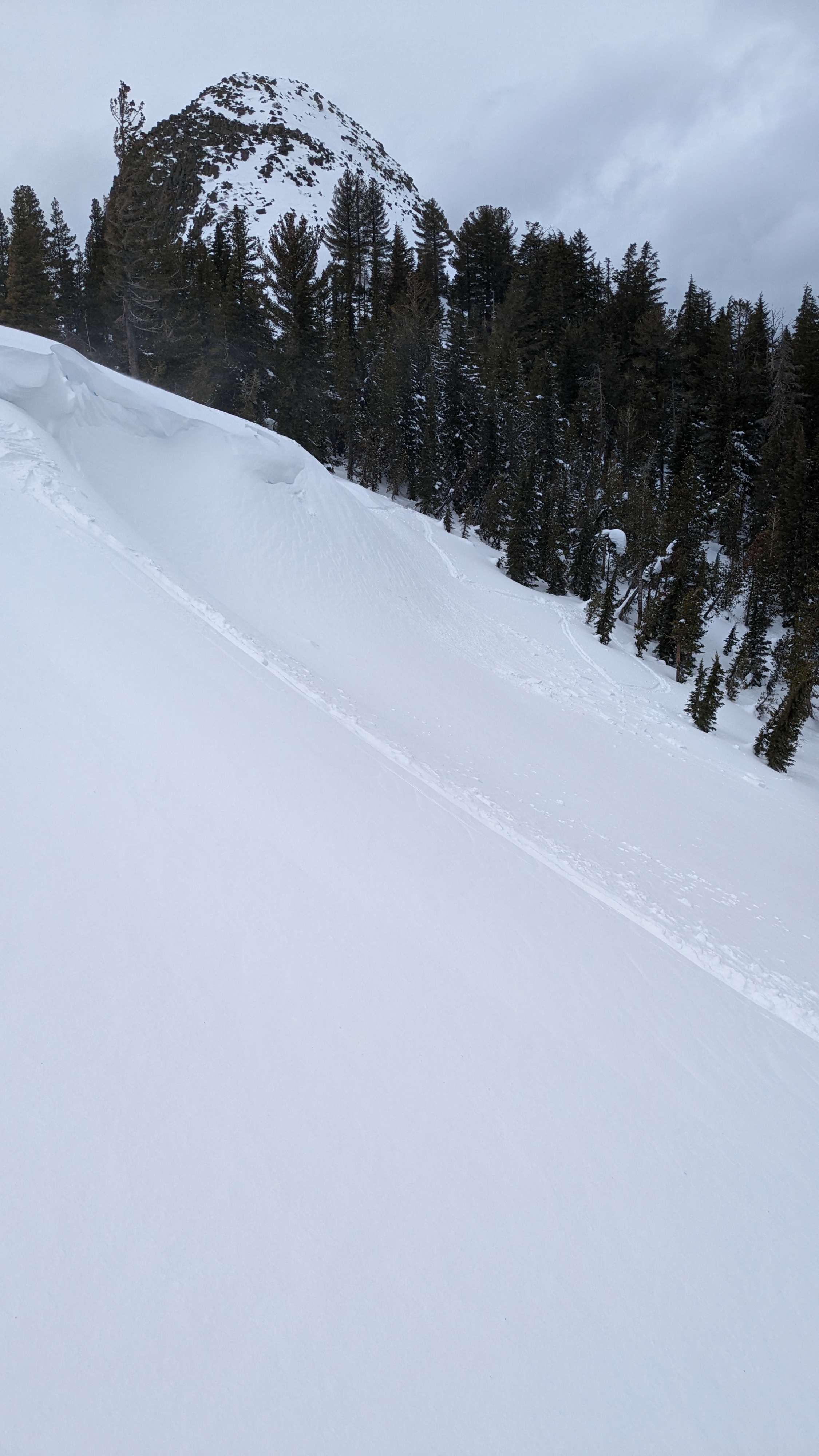
We encountered some active wind loading on the summit ridge. Wind slabs below cornice features were dense and unreactive. Newly wind drifted snow on top of the cornices was a 4 to 6 inch slab that sheared easily.
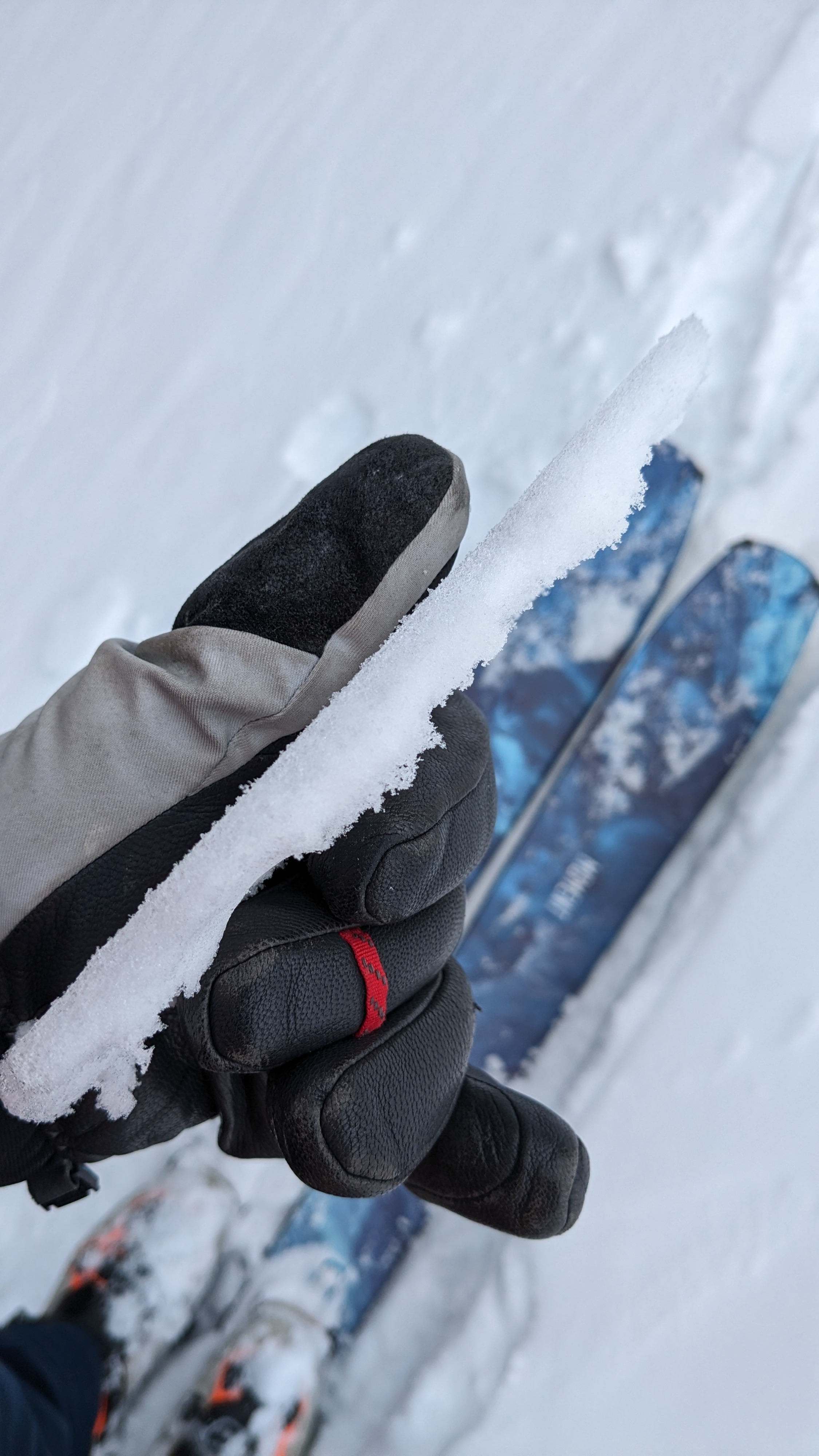
Surface melt-freeze crust up to 1 cm thick was observed during the morning hours across all aspects in this area up to about 8,600'. By the time we descended at 12:30 pm, this crust had melted. We descended through damp snow conditions but did not trigger roller balls, etc.
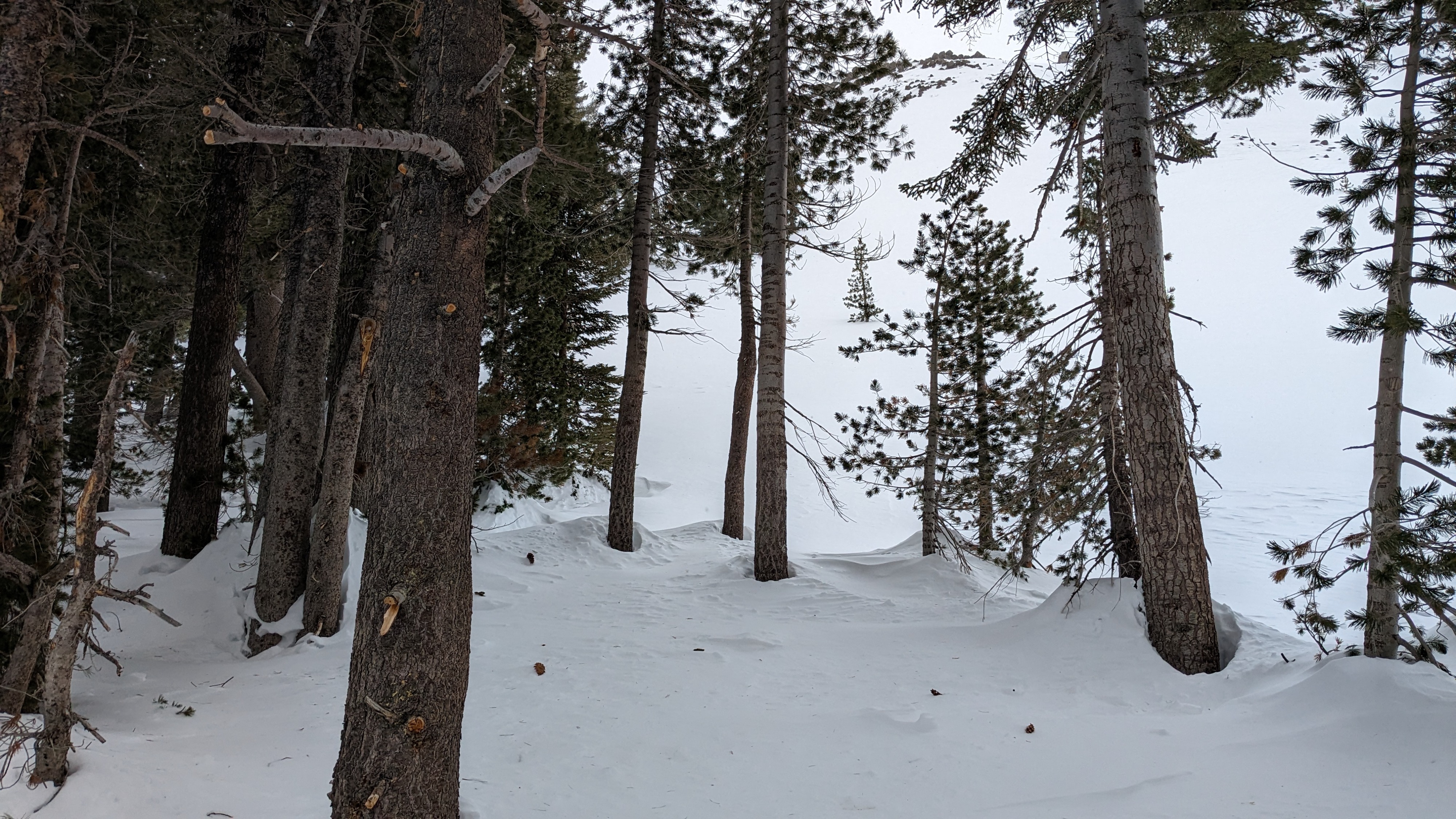
We saw old avalanche debris in the trees below a NE aspect section of the western summit of Pickett Peak. The crown was no longer visible. Best guess is that the avalanche occurred back on Feb 4.
Weather
- Cloud Cover
- overcast
- Wind Loading
- light
- Snow Avail For Transport
- small smounts
Cloudy skies with above freezing air temperatures. Very light snow showers began on Pickett Peak at 11:10 am.
Snowpack
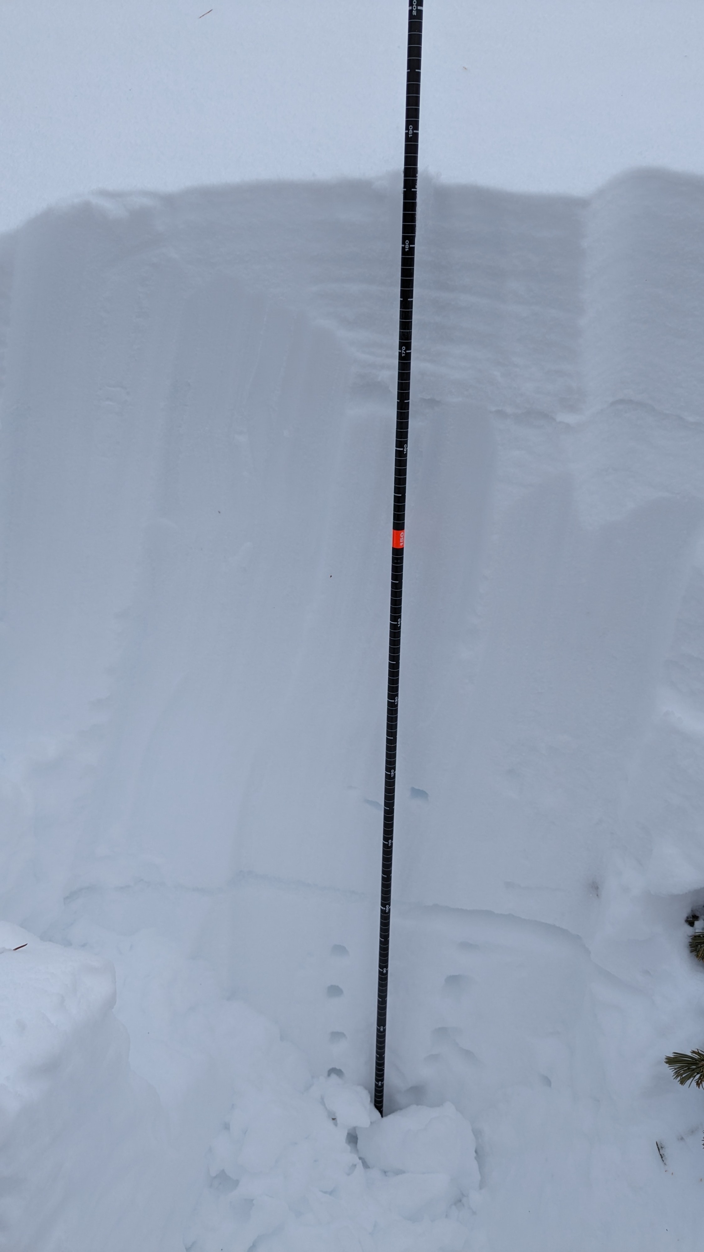
The snowpack in this area was deeper and stronger than expected. We probed HS in several locations near 8,800' at treeline at 1.7 to 1.9m (noted lat/long on the map). Basal facets are moist and down a good 1.5 to 1.6m. The mid and upper snowpack above it is very strong, mostly 1F to P+ in hardness. We ran a PST about 90 cm below the snow surface on the Jan 31 layer at treeline, N aspect 8,800' (noted lat/long on the map). The result was 69/100cm end indicating unlikely propagation on that layer.