
Quick report
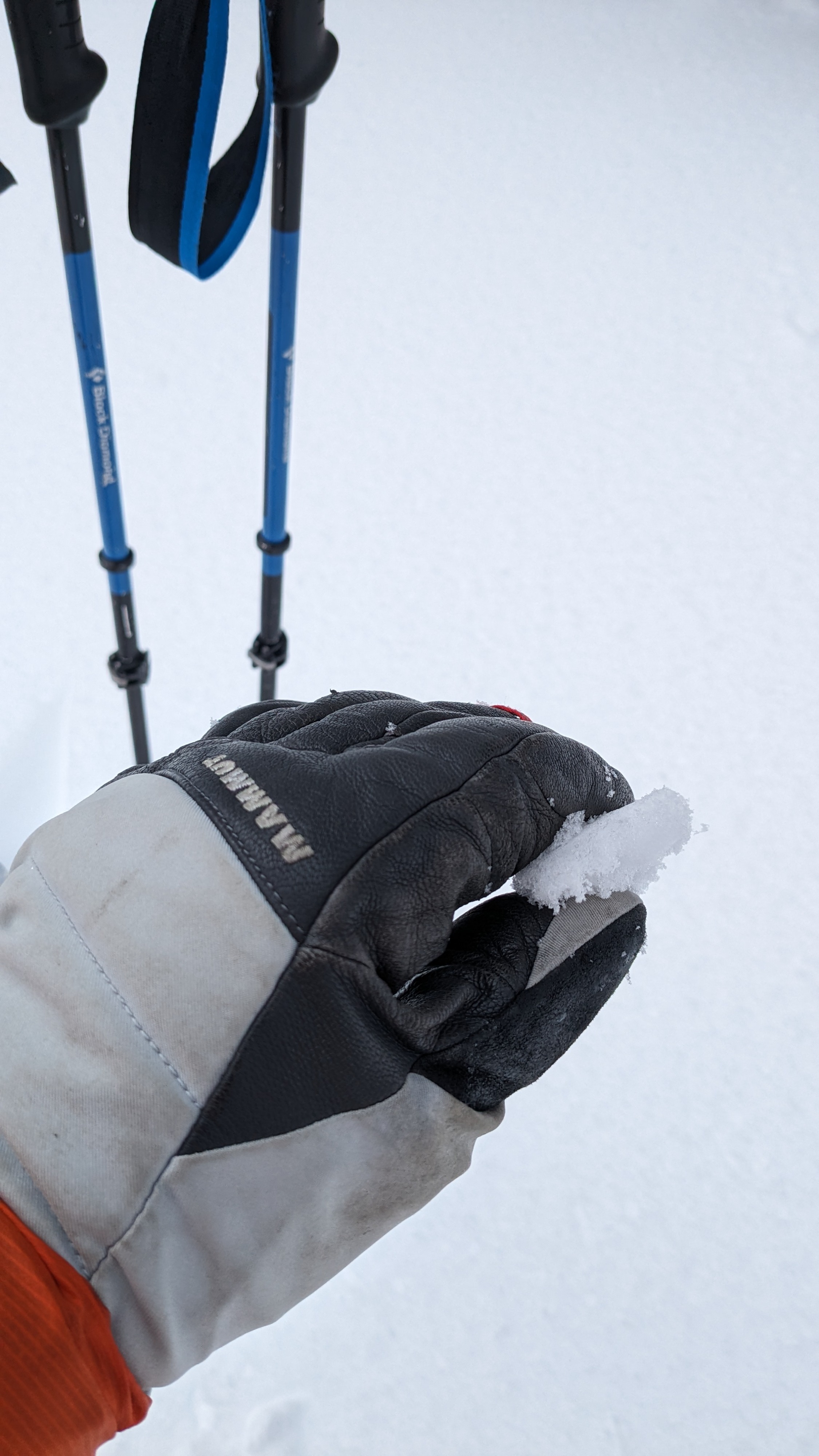
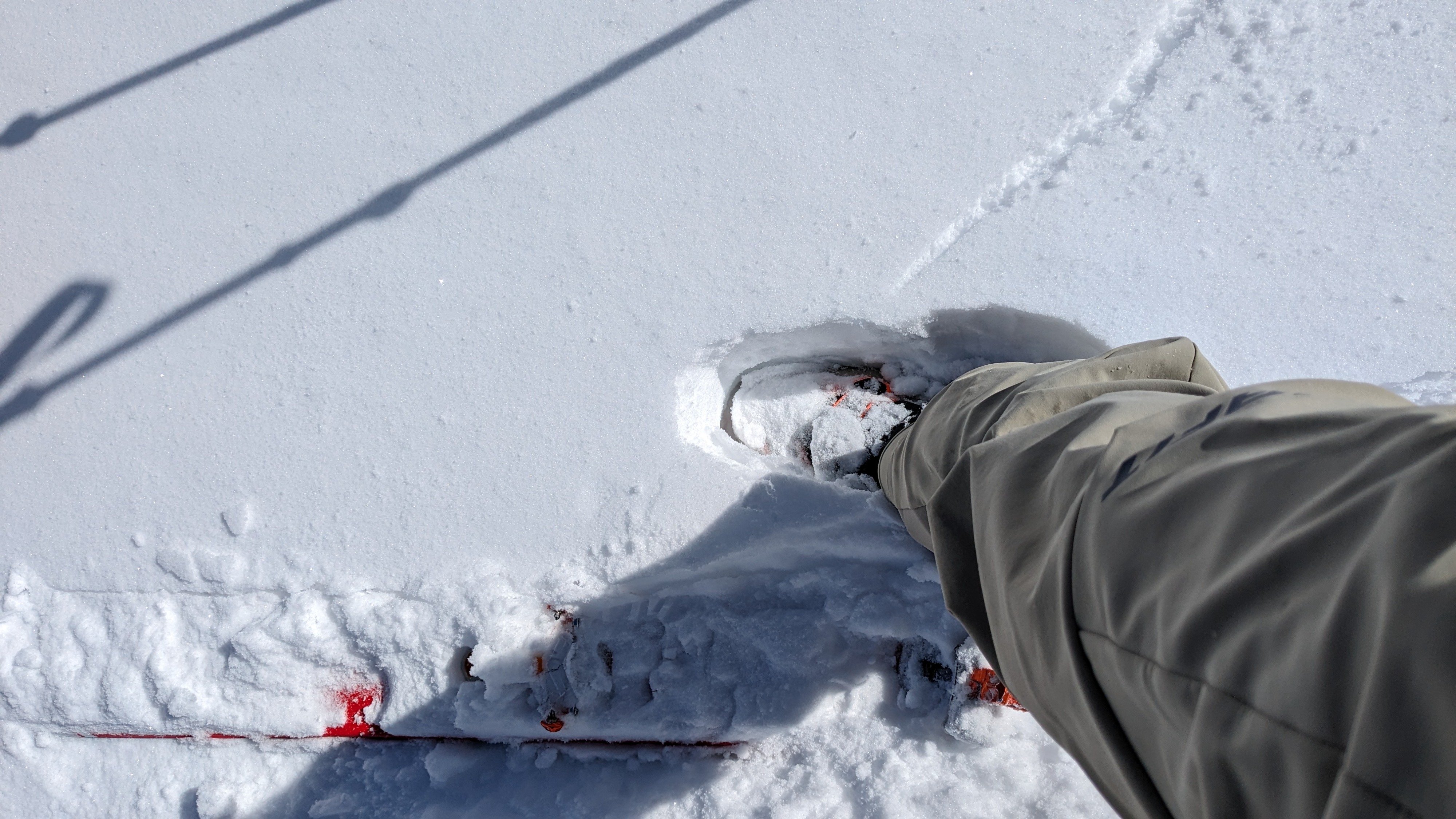
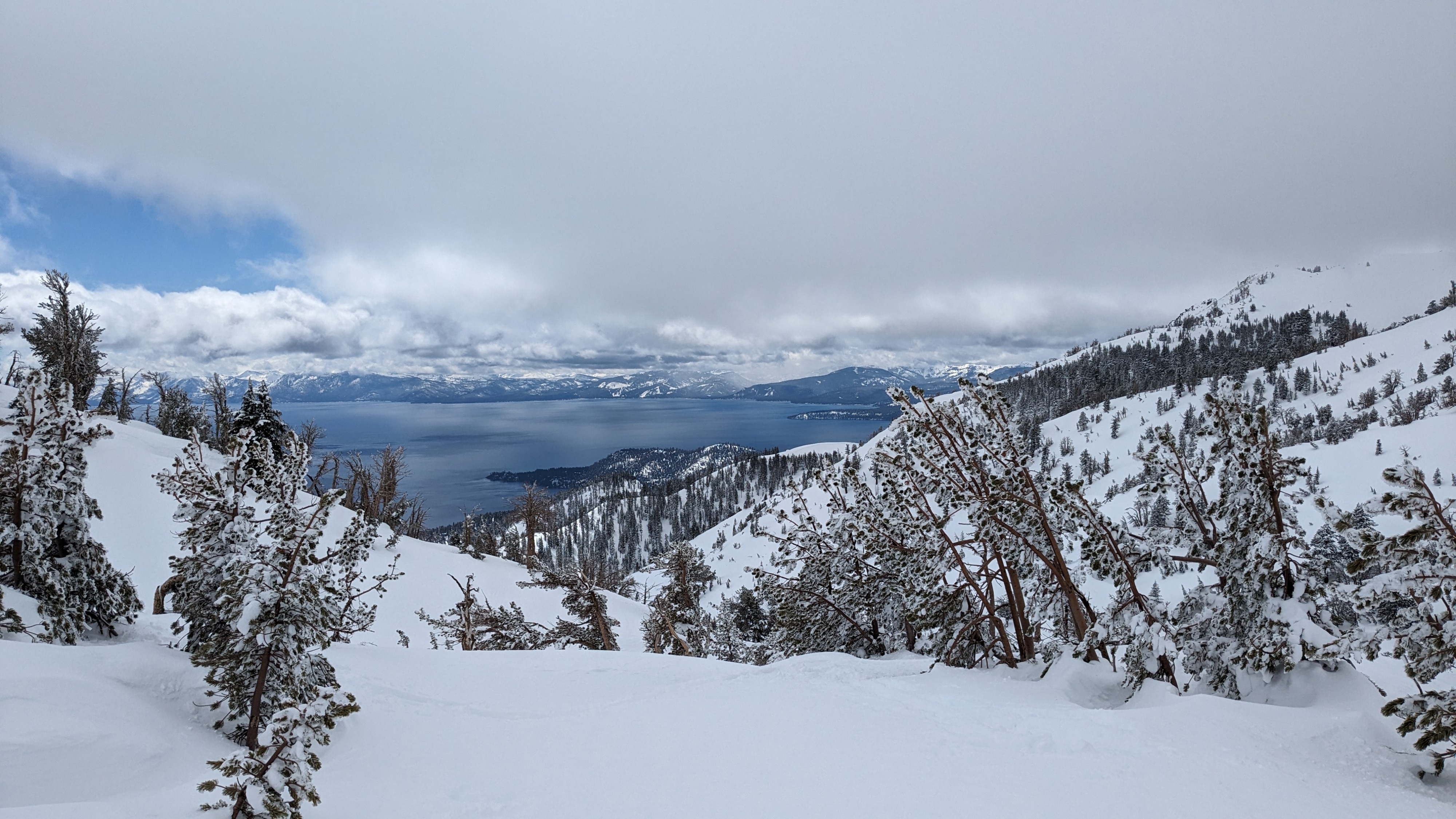
About 10 inches of recent storm snow with only minor amounts of settlement greeted us at Incline Peak this morning. In shaded areas and across northerly aspects this recent storm snow had not been affected by previous melt or solar radiation. On E to SE aspects, we noted a sun crust from yesterday under about 1 inch of new snow from last night. This sun crust disappeared above about 8,800'. By the midday hours, this morning’s warming had created a new sun crust on solar aspects up to at least 9,700'. This new sun crust had refrozen under the increased cloud cover and ranged from 1 to 3 inches in thickness depending on elevation.
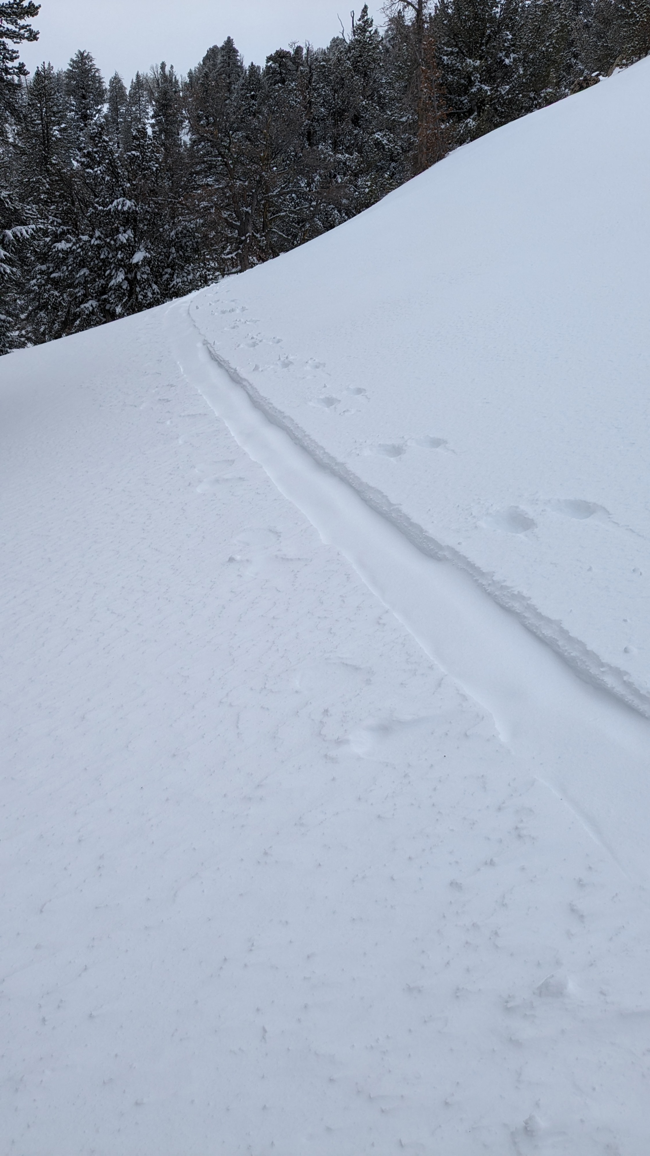
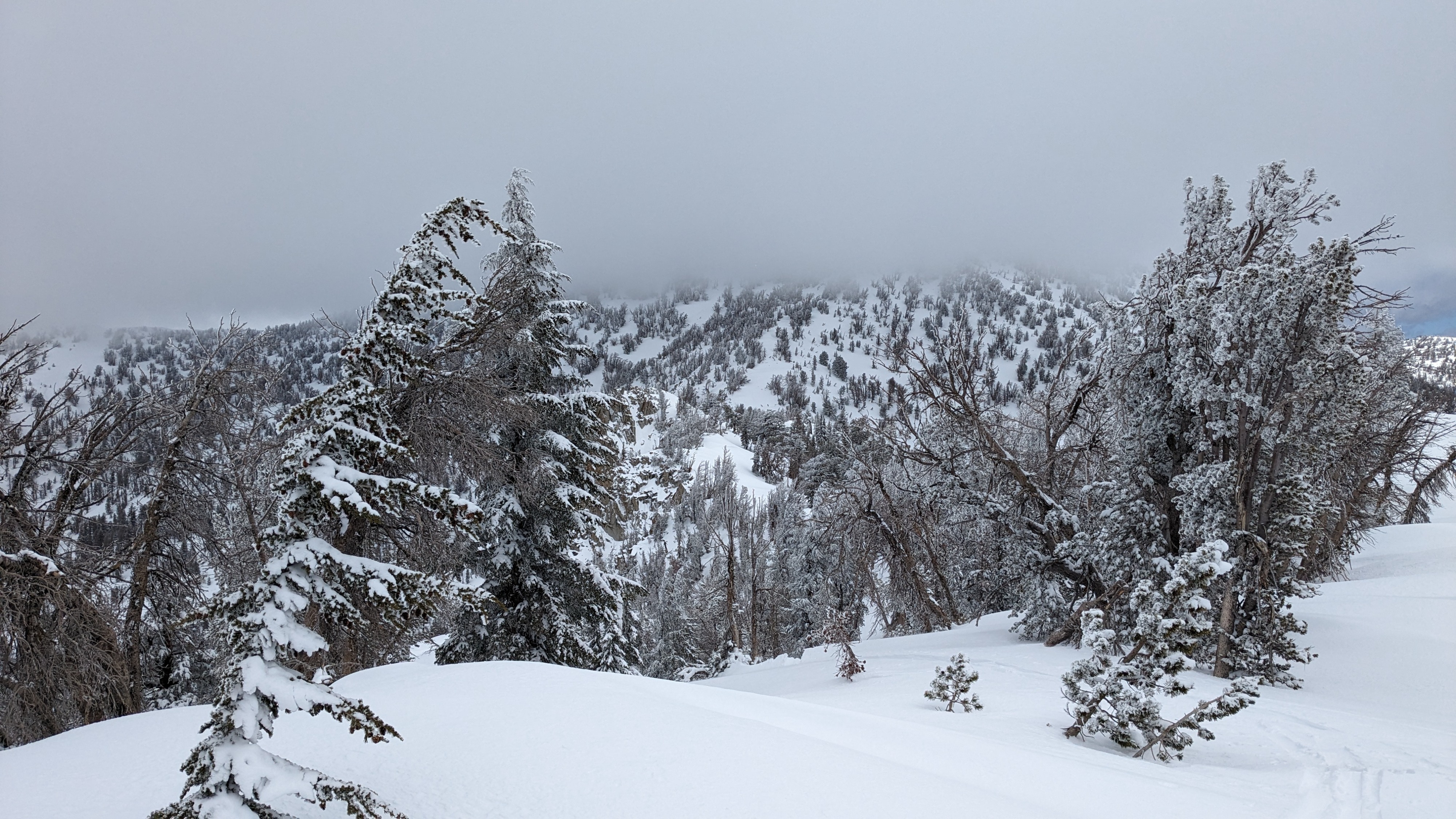
Minor amounts of wind drifting were observed along ridgetops with only very small and very thin new wind slab formation. We noted 8 inches of snow on the ridgetop, available for transport by increasing winds on Wednesday if it is not locked up by melt-freeze before then.
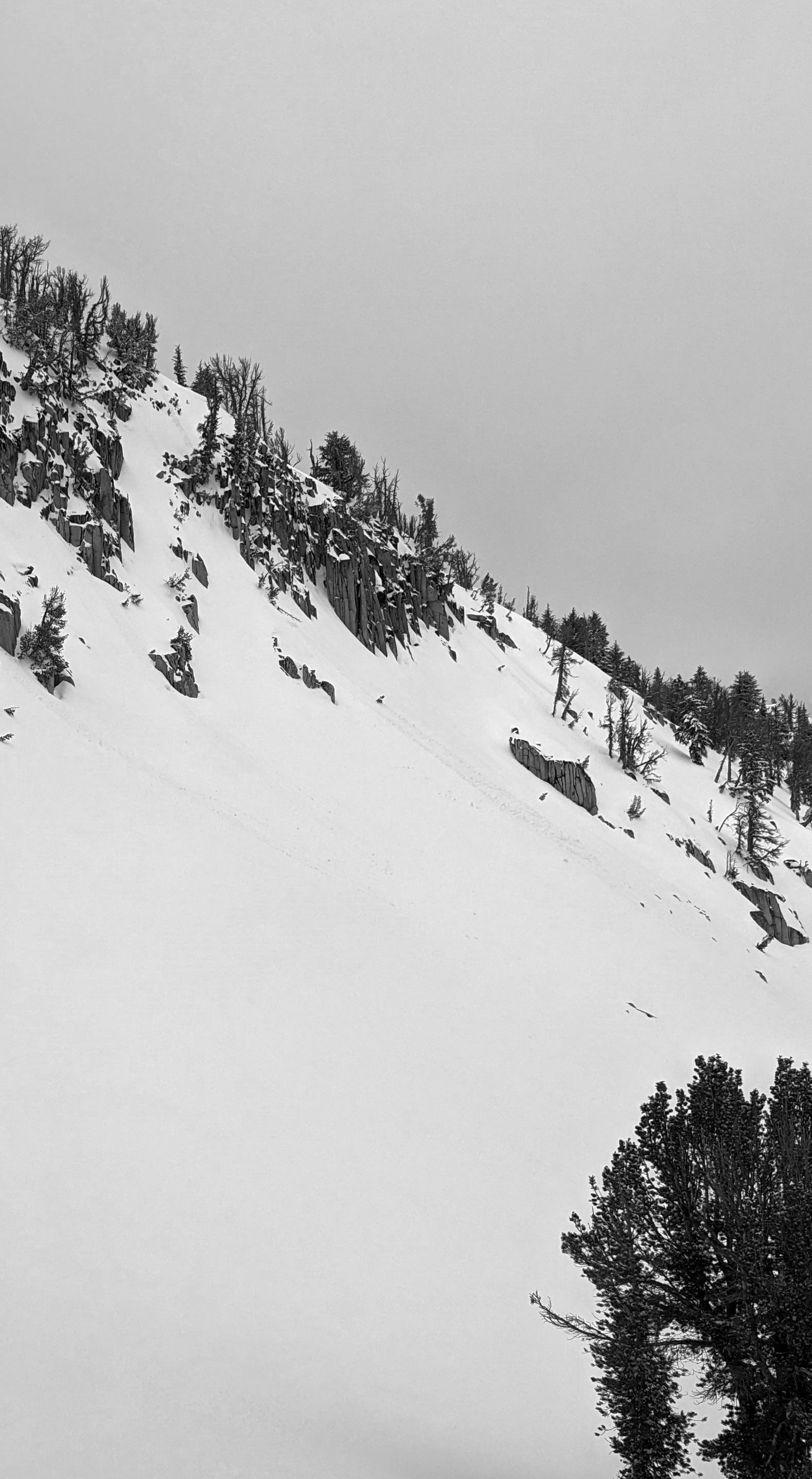
A wet loose avalanche problem developed during the morning hours and was subsequently shut down by an increase to 100% mid level cloud cover by midday. We noted three size D1 wet loose avalanches than had occurred this morning on various E aspects in the area.
We noted three size D1 wet loose avalanches today. All three were in the 8,600' to 9,500' elevation range. Two were natural in the Incline Peak area and one was skier triggered over on the Diamond by the Tamarack Pk parking area.Weather
- Cloud Cover
- broken
- Wind Loading
- light
- Recent Snowfall
- 25 cm
- Snow Avail For Transport
- moderate amounts
A solid sun break occurred from 10 am to 11 am. After that, cloud cover increased with very limited sun breaks. Low to mid level cloud cover was more than forecast for today.