
Quick report
- Cracking
- specific
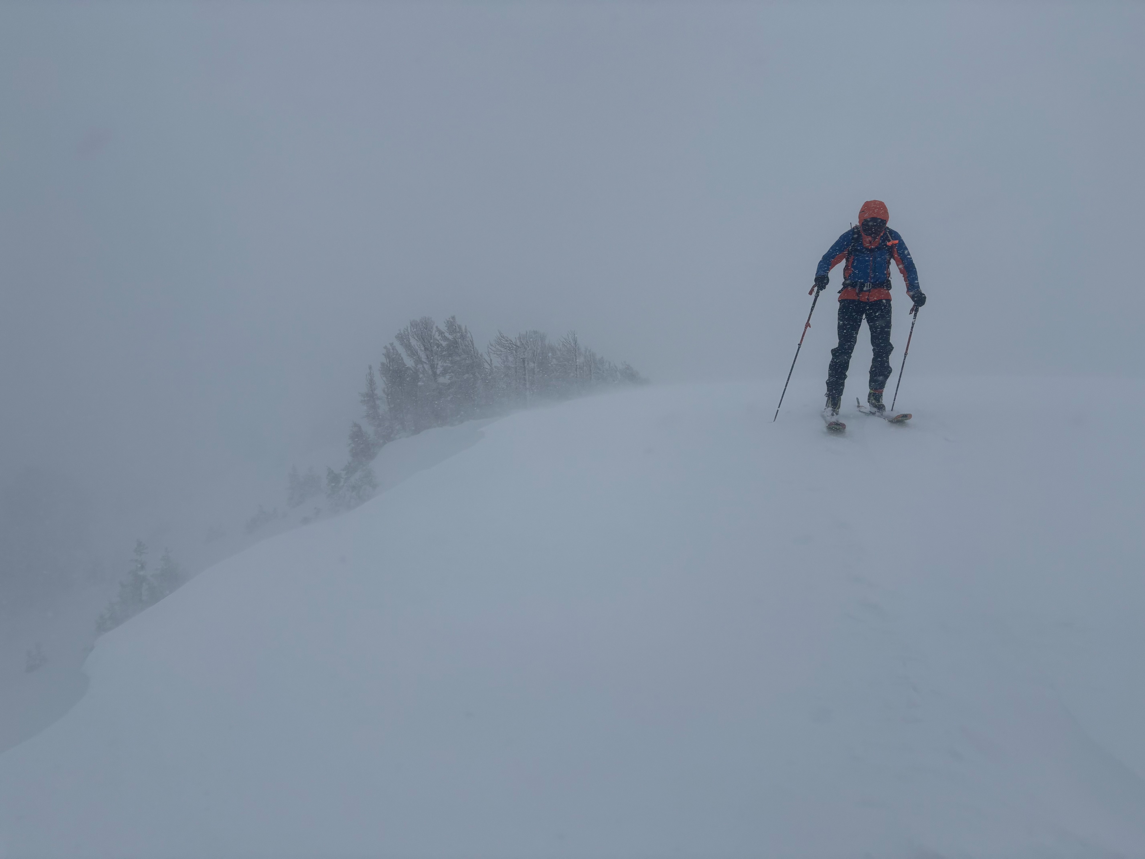
15 to 25+ inches of new snow had accumulated in the Tamarack Peak area. The right-side-up nature of this storm snow also made it supportable and successfully covered many of the previously exposed obstacles. We saw some signs of instability in wind-affected areas (see details in the instability section), as well as continued blowing snow. In more sheltered areas, we did not find obvious signs of instability. We dug into the snow in several places and found depths increased quickly with elevation (2.5 ft @ 9000 ft, 4.5 ft @ 9500 ft, and 5.25 ft @ 9800 ft), for more details, see the snowpack section.
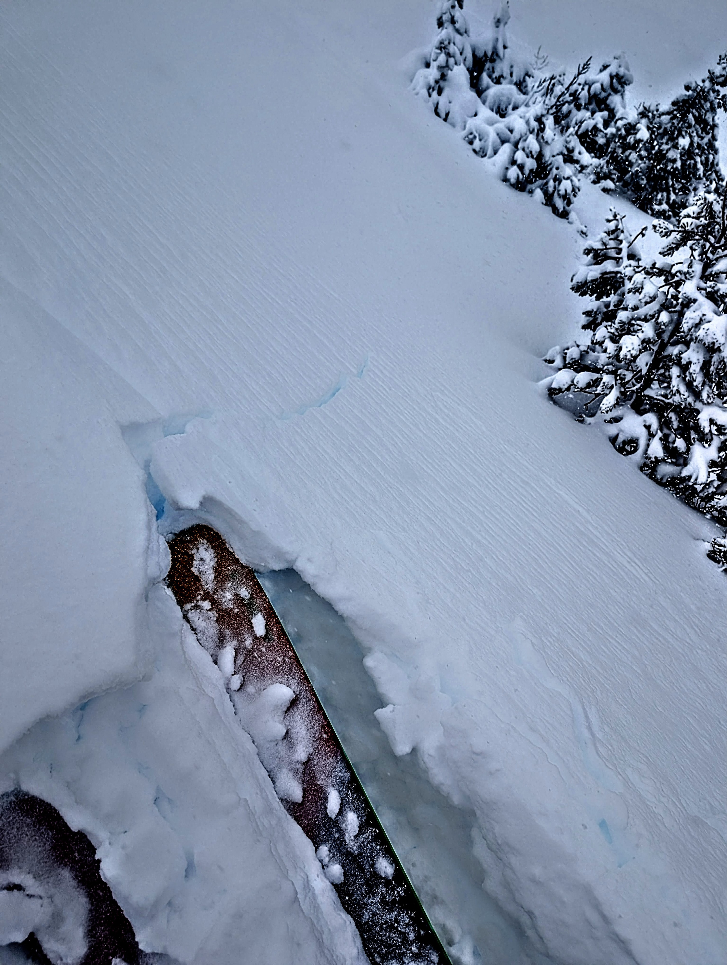
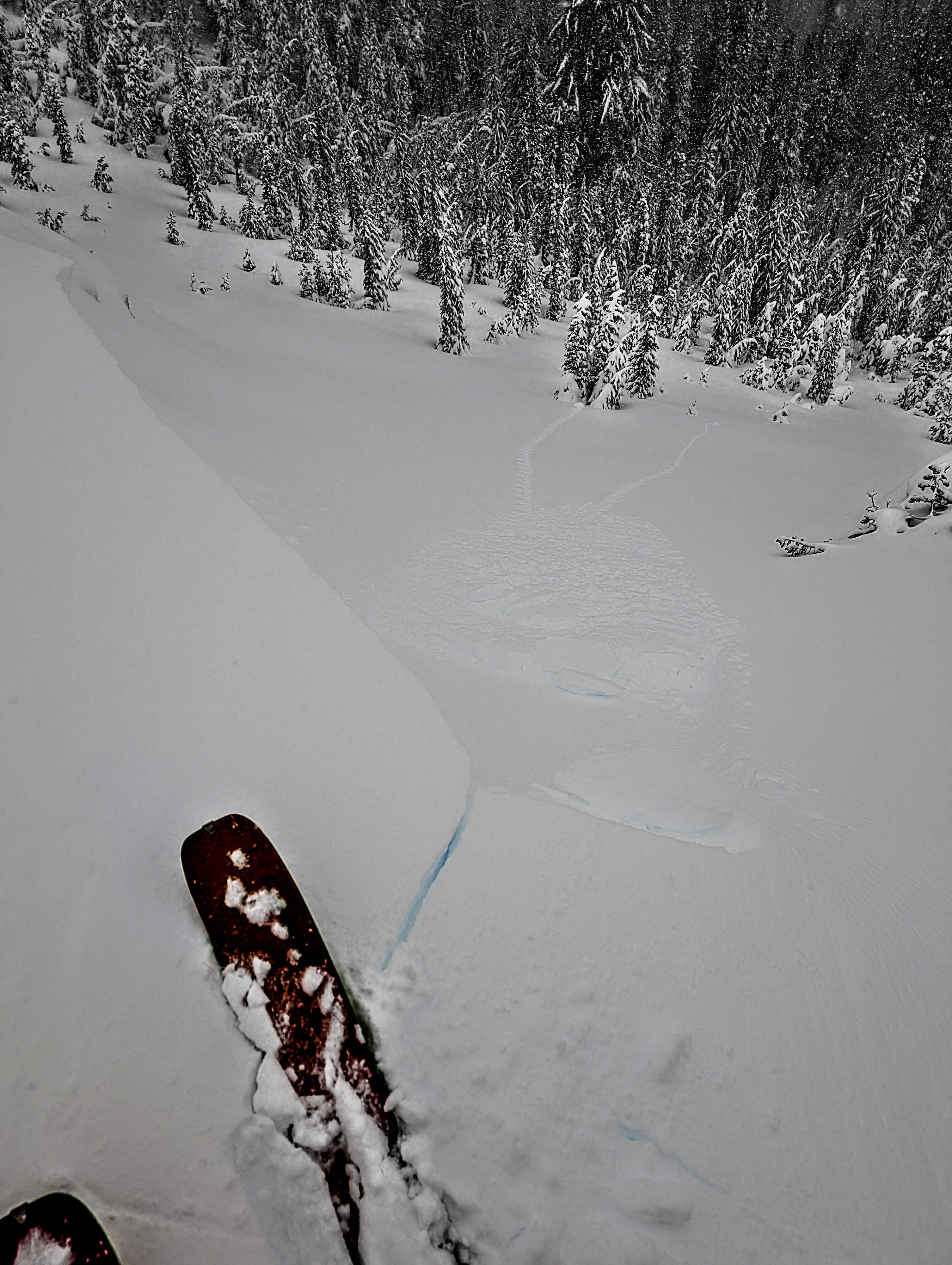
Ski kicks triggered shooting cracks up to 20 ft long in wind-loaded terrain. These cracks failed on a weakness in the top 4-8 inches of new snow, possibly on graupel. Cornices were reactive even from several feet away. We did not trigger any avalanches, but we avoided larger, steeper slopes.Weather
- Air Temp
- 31
- Cloud Cover
- overcast
- Wind Loading
- moderate
- Rain Elevation
- 6800 ft
- Recent Snowfall
- 50-70 cm
- Snow Avail For Transport
- moderate amounts
Snow levels stayed between 6600 and 7000 ft (lower than expected) from Brockway Summit to Mt. Rose. Steady snowfall (~1.5" per hour) continued in the Mt. Rose area, with amounts increasing at higher elevations. Ridgetop southwest winds were strong in the morning, easing by afternoon.
Snowpack
The upper half of the snowpack consists of right-side-up (lighter on top of denser) storm snow. Below the new snow, old snow makes up the bottom half of the snowpack. Rain (up to at least 9800 ft) percolated through the snowpack to the ground over the last few days, changing the old weak snow into wet snow. Now the wet snow is starting to refreeze into denser refrozen snow. Snowpit tests (@ 9000 ft, 9500 ft, and 9800 ft) did not show any signs of instability on these old buried layers of wet and refreezing snow.