
Quick report
- Cracking
- isolated
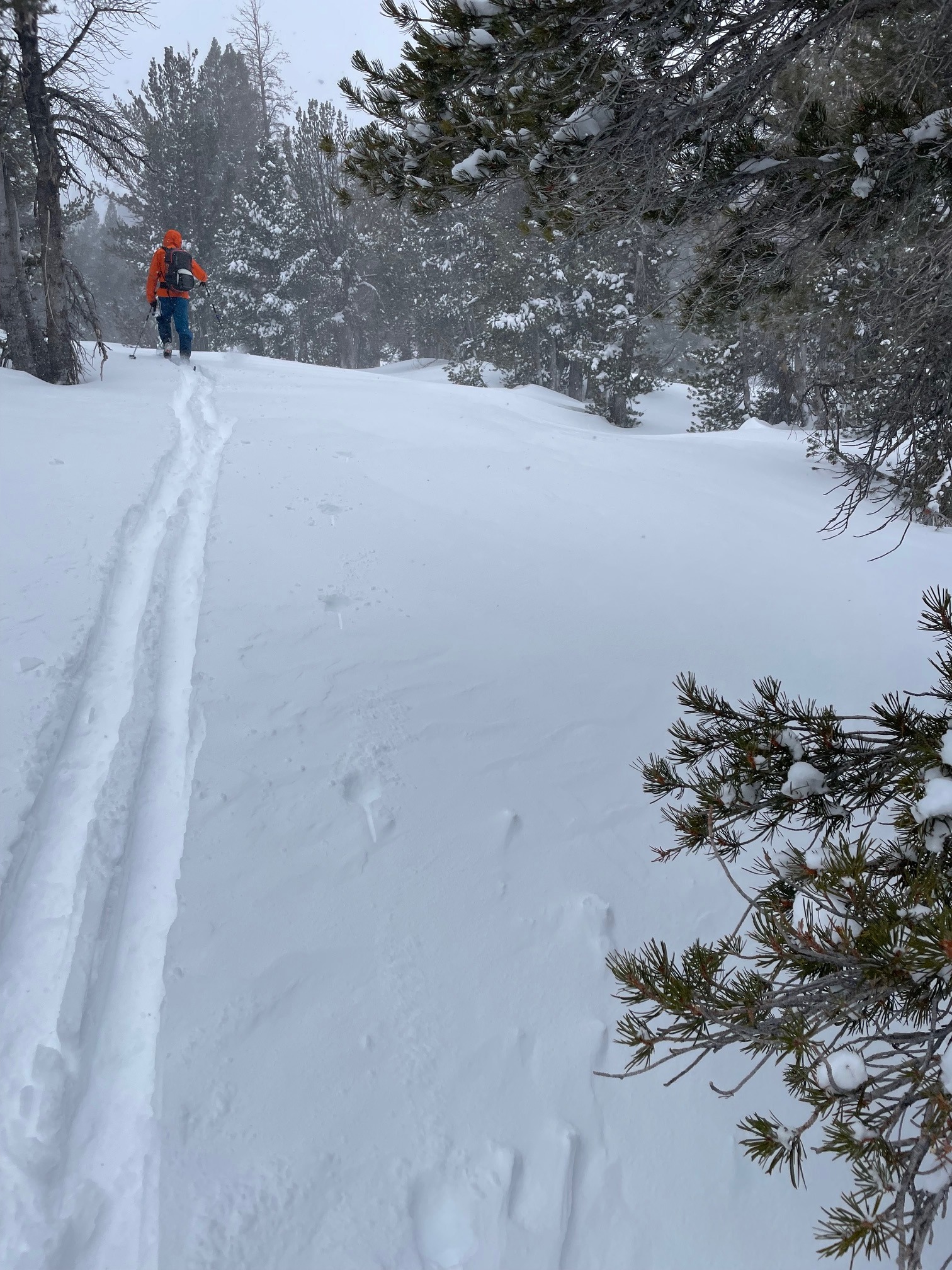
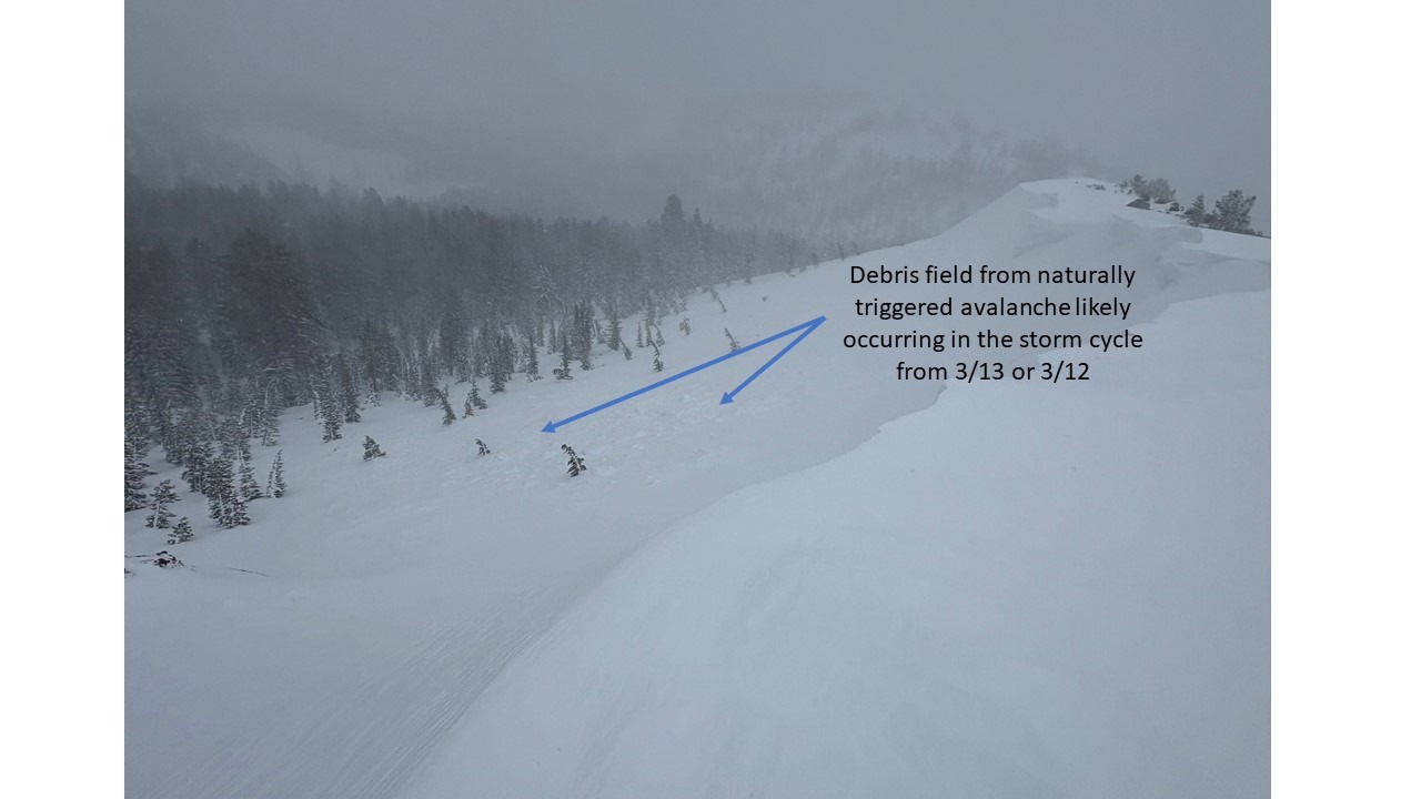
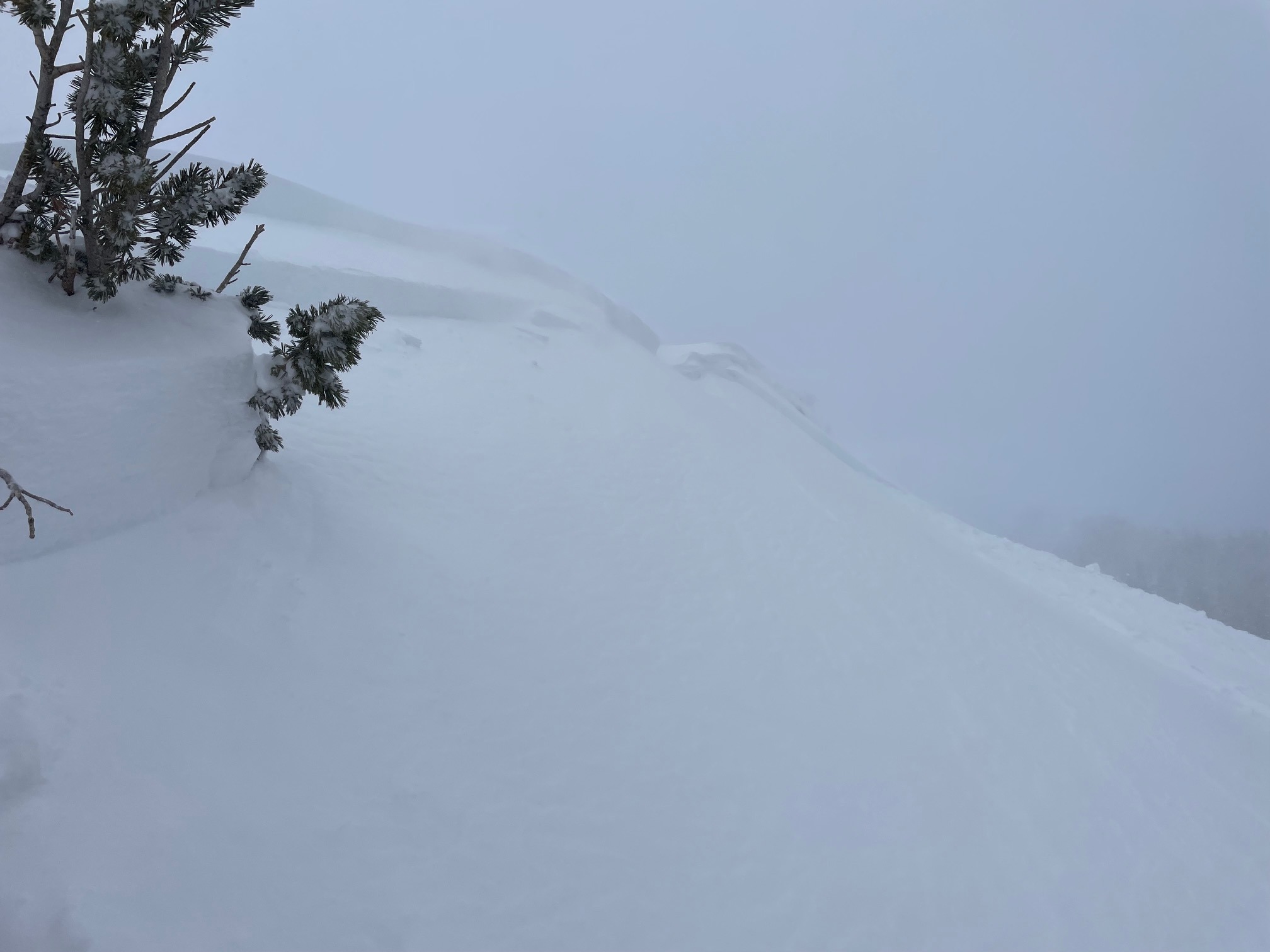
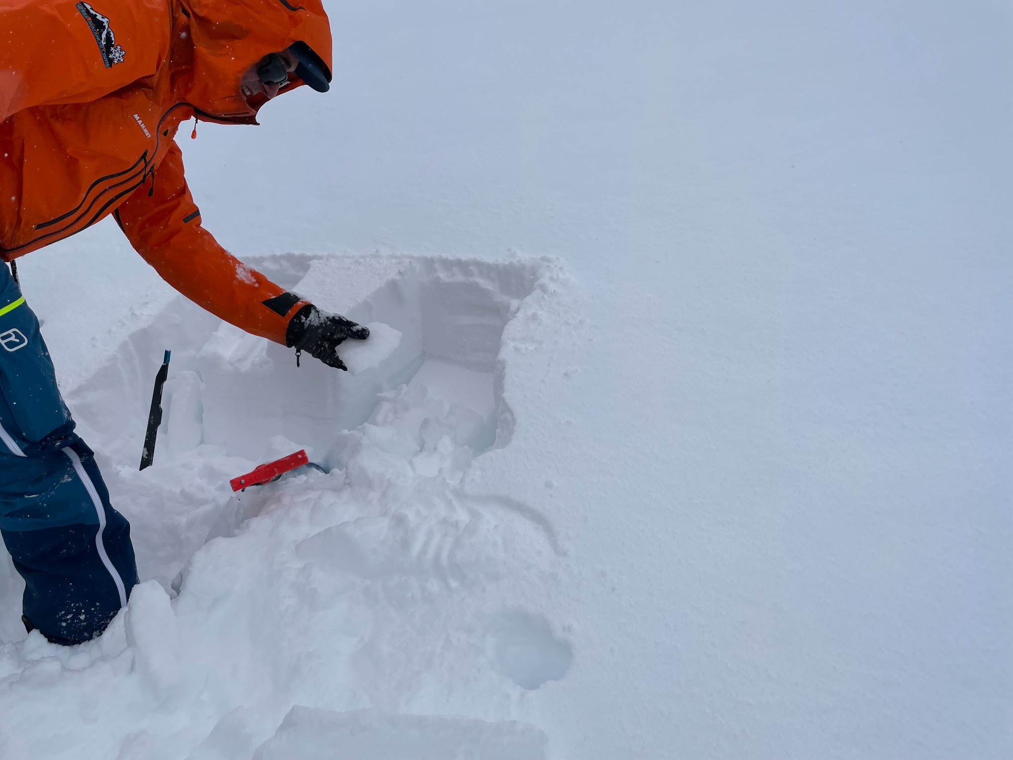
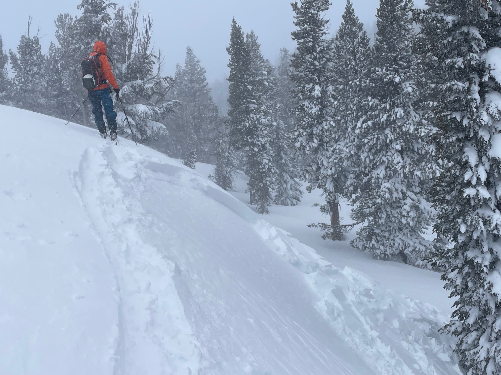
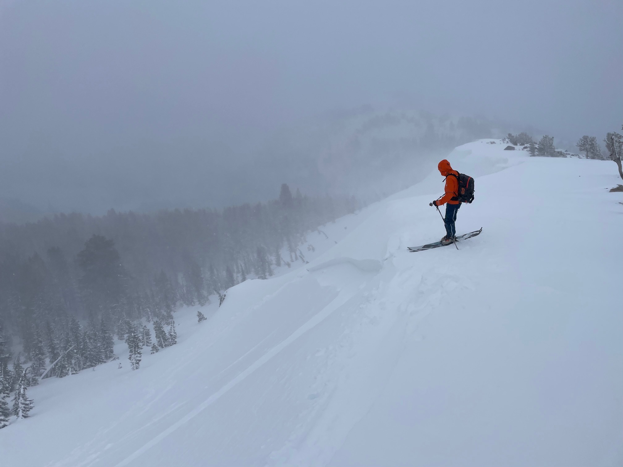
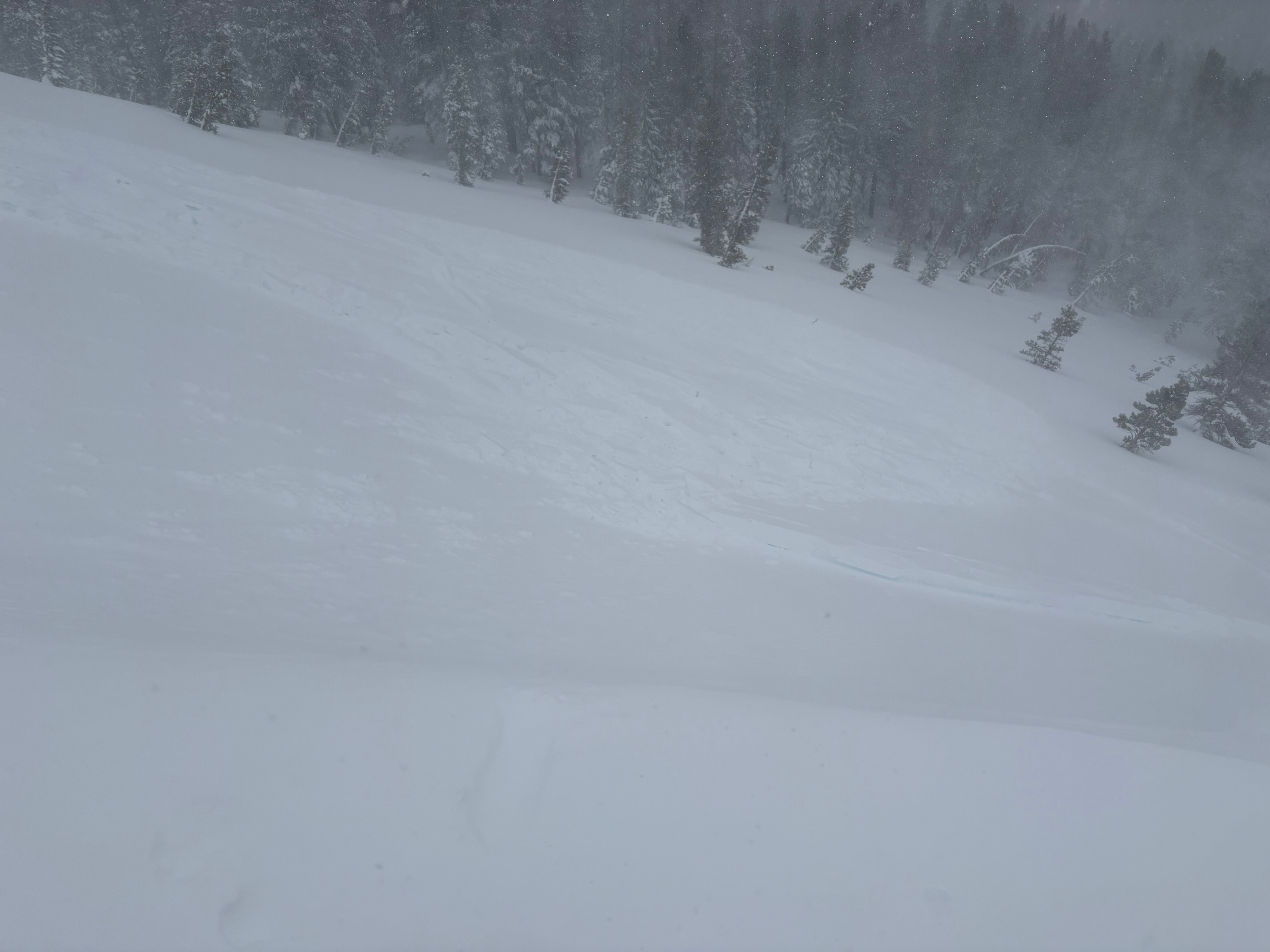
We left the Tamarack Lake TH at approximately 10:00 pm with temperatures around 27 degrees and snow falling at a rate of N1-N2. New snow depths were approximately 12" from Wednesday and Thursday's storm, and the wind effected surface was hardened to F+ to 4F. The day's tour was oriented around looking for avalanches from the Wednesday and Thursday storm, and assessing the reactivity of wind drifted snow. After crossing Tamarack Lake and ascending to about 8,000 ft. we dug a test pit and had no results from an ECT. A quick CT showed high strength but some storm slab weakness in the upper section of the new snow layer and potential weakness below the solar crust at the NS/OS interface. The graupel layer prevalent at the beginning of the storm was not found in this pit location. Moving higher we were at first unable to get small test slopes to move, but upon reaching the ridge we had more success in higher wind effected snow drifts. A steep drift produced a small D1 slide with a minor crown of 4"-6". Moving higher on the ridge we were able to produce more repeatable results including a D1.5 that propagated nearly 200 ft. Further up the ridgeline we were able to observe debris from a naturally triggered cornice or wind slab on the north facing and leeward side of the slope in steep terrain. These wind slabs were typically characterized by crowns of 6-18" with a two step hardness variation of 1F over F. Wind slab seemed to be the theme of the day. Winds were high on the ridgeline out of the SW and gusting to nearly 50 mph. We skied low angle terrain from near the summit of Tamarack Peak and as we made turns down our final pitch back towards the TH and Tamarack Lake we were able to get steep cross loaded wind hardened slabs to move. No signs of storm slab were observed during the day and no other natural avalanches were observed, although visibility was significantly limited. Snow was heavy throughout the tour. We returned to the TH by 1:00 PM and over 3" of new snow had accumulated during our time out.
Instability was primarily limited to wind slab problems on the leeward side of ridgelines and some cross loaded gullies, where 4"-18" of 1F snow overlaid an unconsolidated layer of F hardness snow. At our NNW pit location at approximately 9,000 ft. we observed approximately 12" of F new snow with a F- wind hardened surface. A quick ECT produced no results, CTs showed high strength but resulted in fracture planes on a small density break in the new snow about 6" down and a failure below a 2cm melt/freeze crust at the OS/NS interface. Facets were observed above the crust and suspected to below the crust as well. Crystal ID was limited due to storm conditions.Weather
- Air Temp
- 27
- Cloud Cover
- overcast
- Wind Loading
- intense
- Rain Elevation
- 5,500 ft.
- Recent Snowfall
- 30 cms
- Snow Avail For Transport
- large amounts