
Quick report
I observed a poor snowpack structure on shaded aspects. Here, a strong 1-2' thick slab rests atop weak facets but did not produce any obvious signs of instability like collapsing, cracking, or poor snowpack test scores.
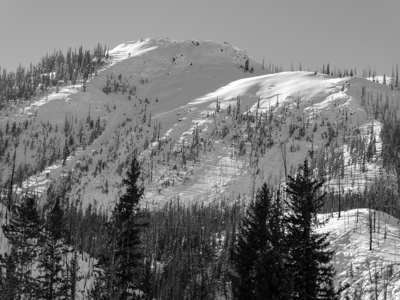
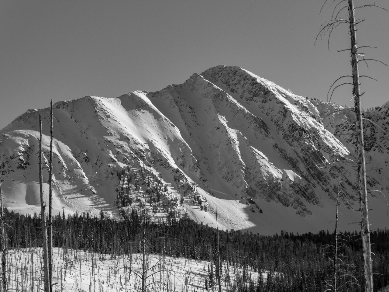
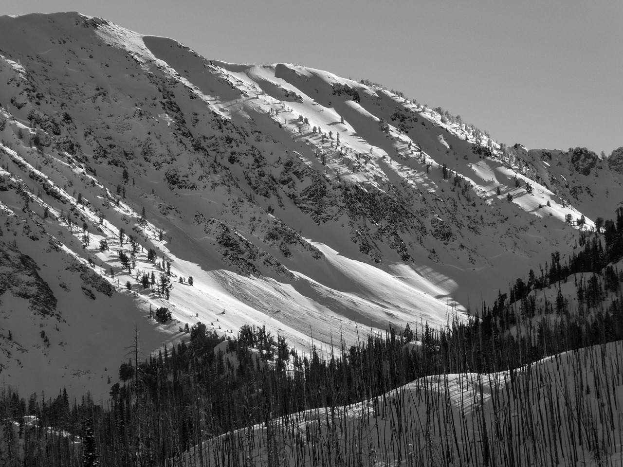
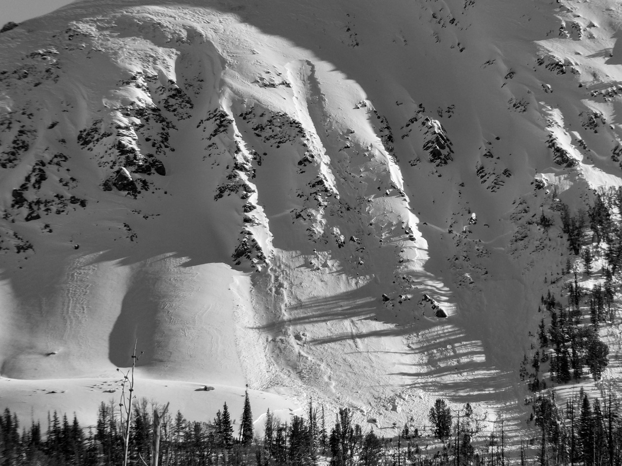
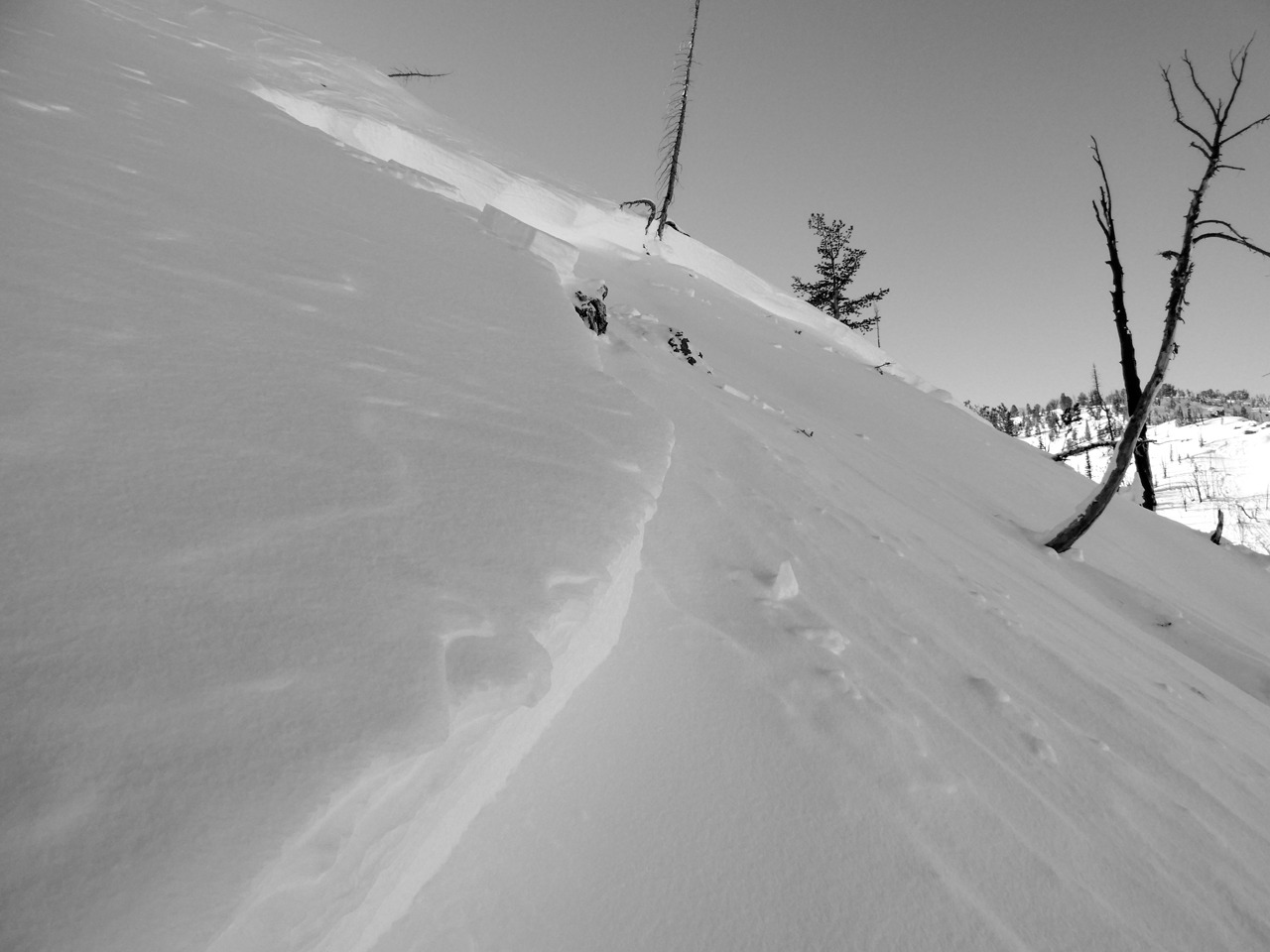
There were several large to very large avalanches in this area that released in the post-Christmas and post-New Year's storms.
Weather
- Air Temp
- 20s
- Cloud Cover
- few
- Wind Loading
- previous
- Snow Avail For Transport
- large amounts
It was -6F at the 4th of July turn-off but warmed into the 20s F at middle elevations. Some clouds were capping the Boulders in the AM, but it was mostly clear throughout the day. I observed some NW wind briefly blowing snow off Castle Pk and on some peaks in the Boulders in the afternoon.
Snowpack
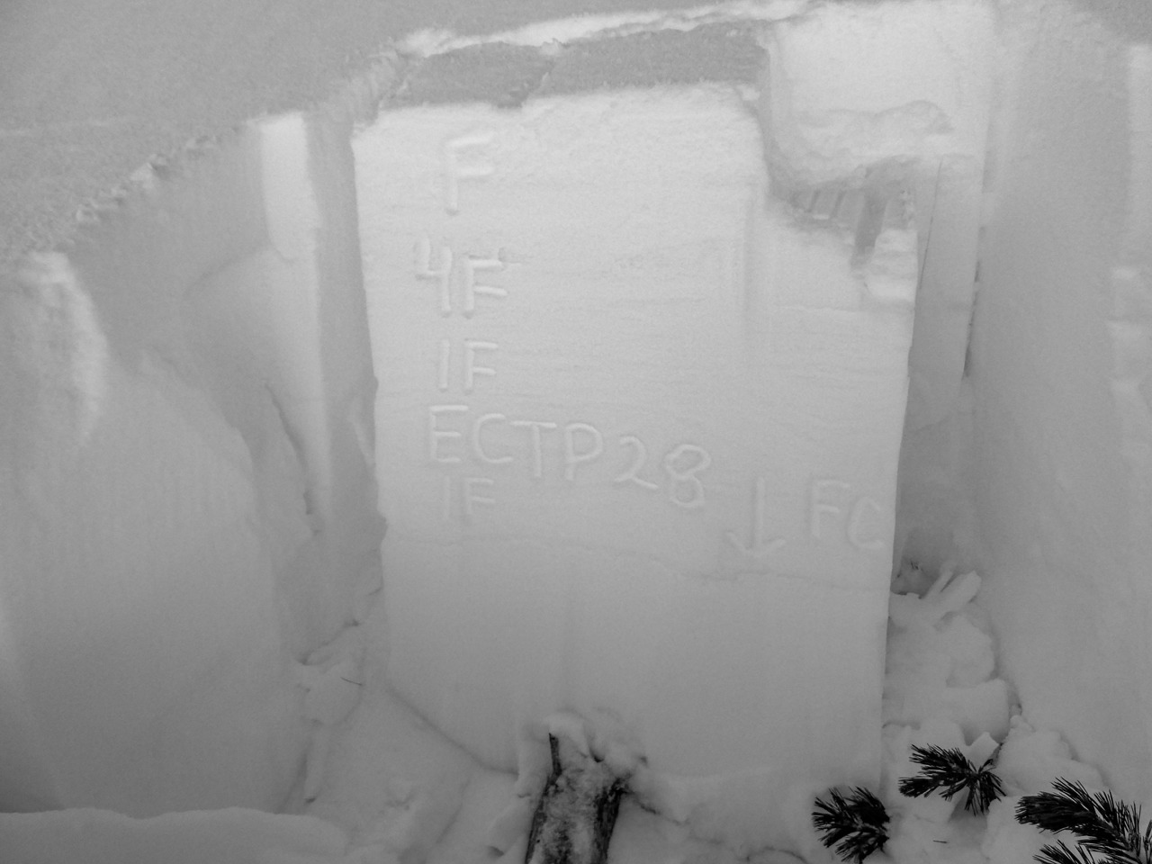
I observed shaded aspects and flat terrain at middle elevations from ~7,200 to 9,000'. Overall, HS ranged from 50 cm to 120 cm. The slab above the primary weak layer (12/13) accounted for about half the snowpack depth. The slab is softer at the surface (F) and stiff near the base (1F).
The weak layer (12/13) was comprised of a weak (F) interval of small 1-2 mm facets at the top of a facet stack that extended to the ground. The facet stack stiffened in the middle and weakened again near the ground. Instability tests produced propagation in one location ECTP28 down 63 cm on a N aspect at 9,000' (see photo). Other tests below the wet snow/rain line at 8,500' produced ECTX. All tests in both locations eventually propagated with non-standard force.
The (1/3) wet snow/rain crust extended to near 8,700'. Snow atop this crust is quickly faceting.
Avalanche
- Size
- D3
- Count
- 15
- Aspect
- NE
- Trigger
- N
- Elevation
- 9900 ft
Avalanche activity was generally on NW-N-NE aspects between 8,500-10,000'. I observed older (post-Christmas) and more recent (post-New Year's) crowns. I pinned these to 12/29 and 1/3, but the exact dates are unknown.