
Quick report
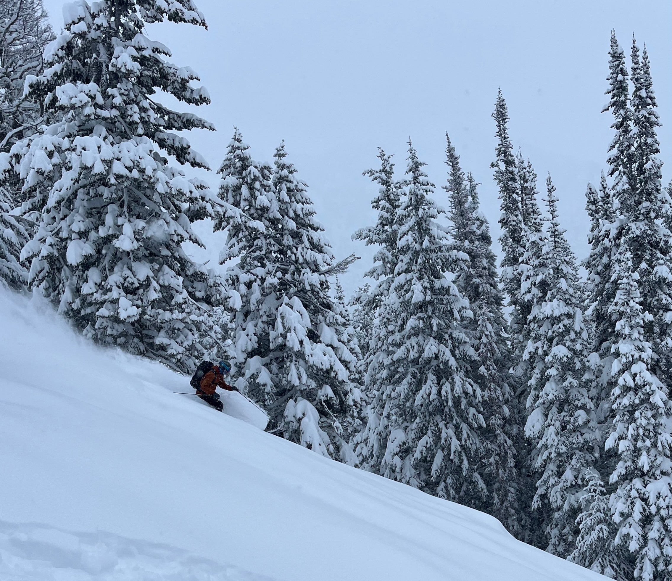
Gentle maneuvering and cautious route-finding through the lower elevations can deliver the motivated traveler to some very worthy skiing. Solstice is near. Celebrate the return of light with friends, steady accumulations of cold snow, and creative passages through our special local mountains.
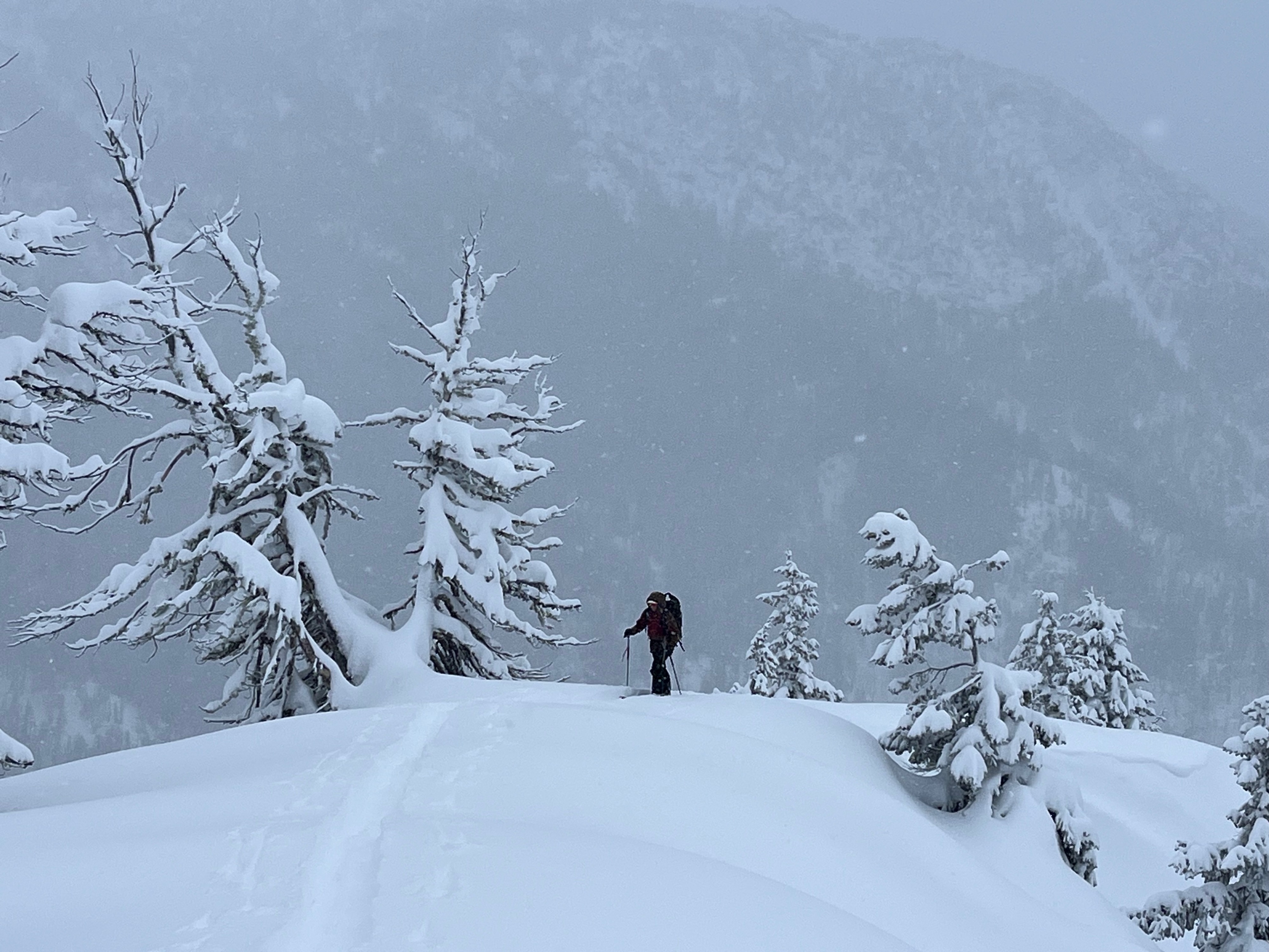
No signs of instability observed. We skinned through some punchy areas near various ridgecrests, which may point to some mid-storm wind-effects, subsequently buried by lower density storm snow.Weather
- Air Temp
- 15-20F
- Cloud Cover
- overcast
- Wind Loading
- none
- Rain Elevation
- NA
- Recent Snowfall
- 20-80cm
- Snow Avail For Transport
- large amounts
Overcast to obscured skies with light snow through the day. Visibility beyond immediate terrain was limited. Winds were light and intermittent out of the W.
Snowpack
15-20cm recent storm snow at valley bottom, often overlying preserved older snow. This structure applies to open terrain up to ~4000'. Below the forest canopy, there is no residual older snow beneath the recent storm snow.
By ~4500', we were probing 40-50cm total snow depth, with 25-30cm recent storm snow over old melt forms.
At ~5000', we found a total snow depth of 80-100cm, with 60-70cm recent storm snow.
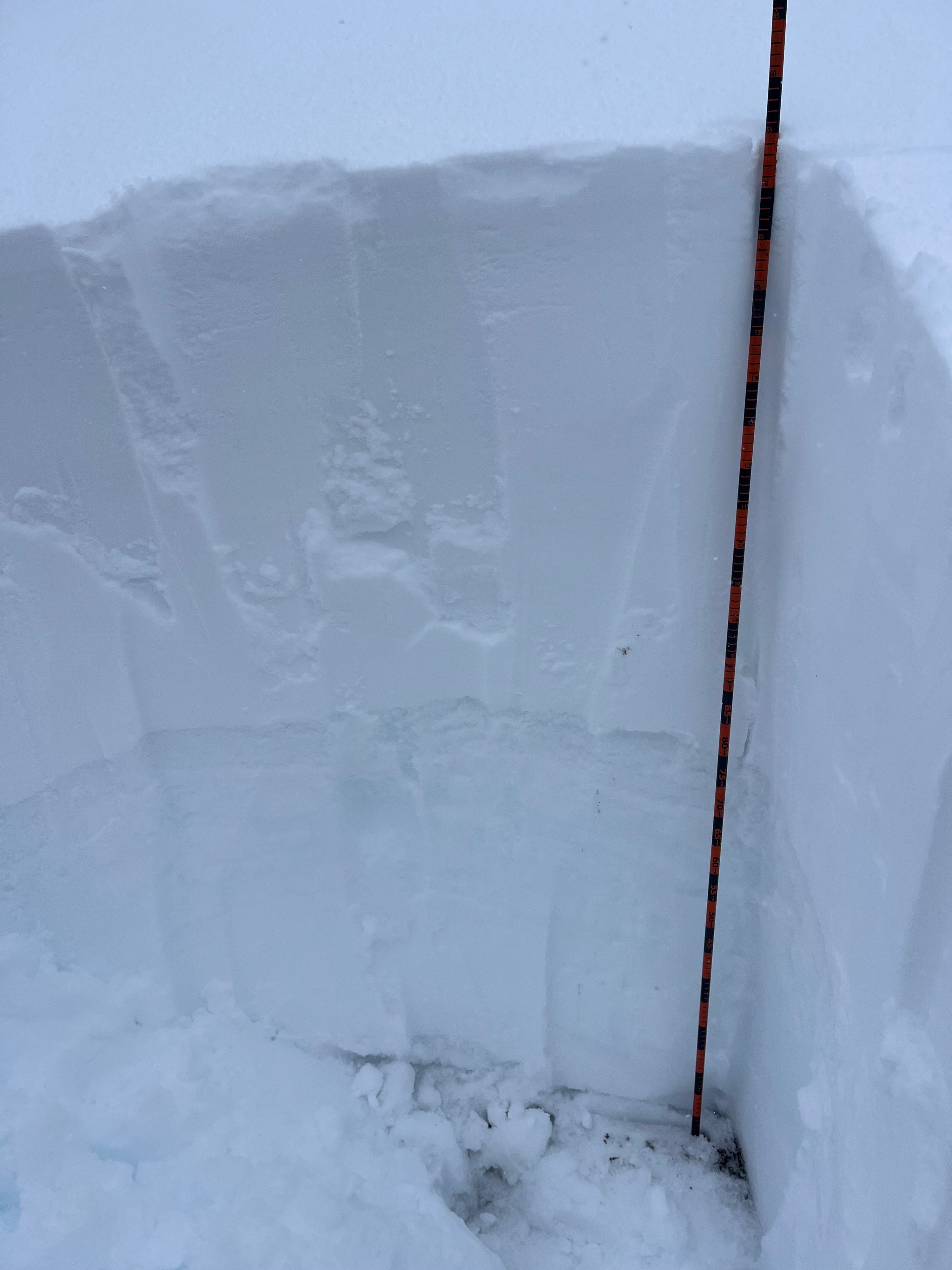
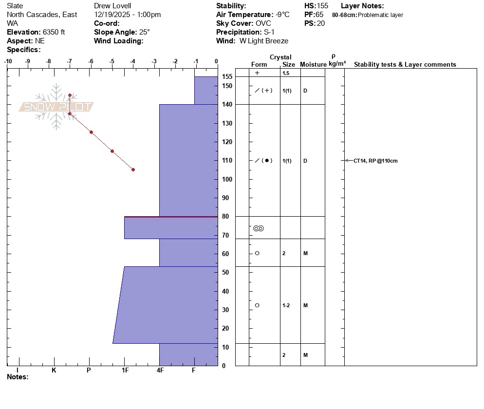
A profile at 6350' showed the following:
Total snow depth: 155cm
Recent storm snow: 75cm
We found a favorable bond at the mid-December melt-freeze crust, with no signs of faceting. Stability tests were unremarkable. Moist grains to the ground below the mid-December interface.
Overall, the snowpack was supportable and right-side-up, yielding excellent ski quality, regardless of aspect, above approx. ~ 5000'.