
Quick report
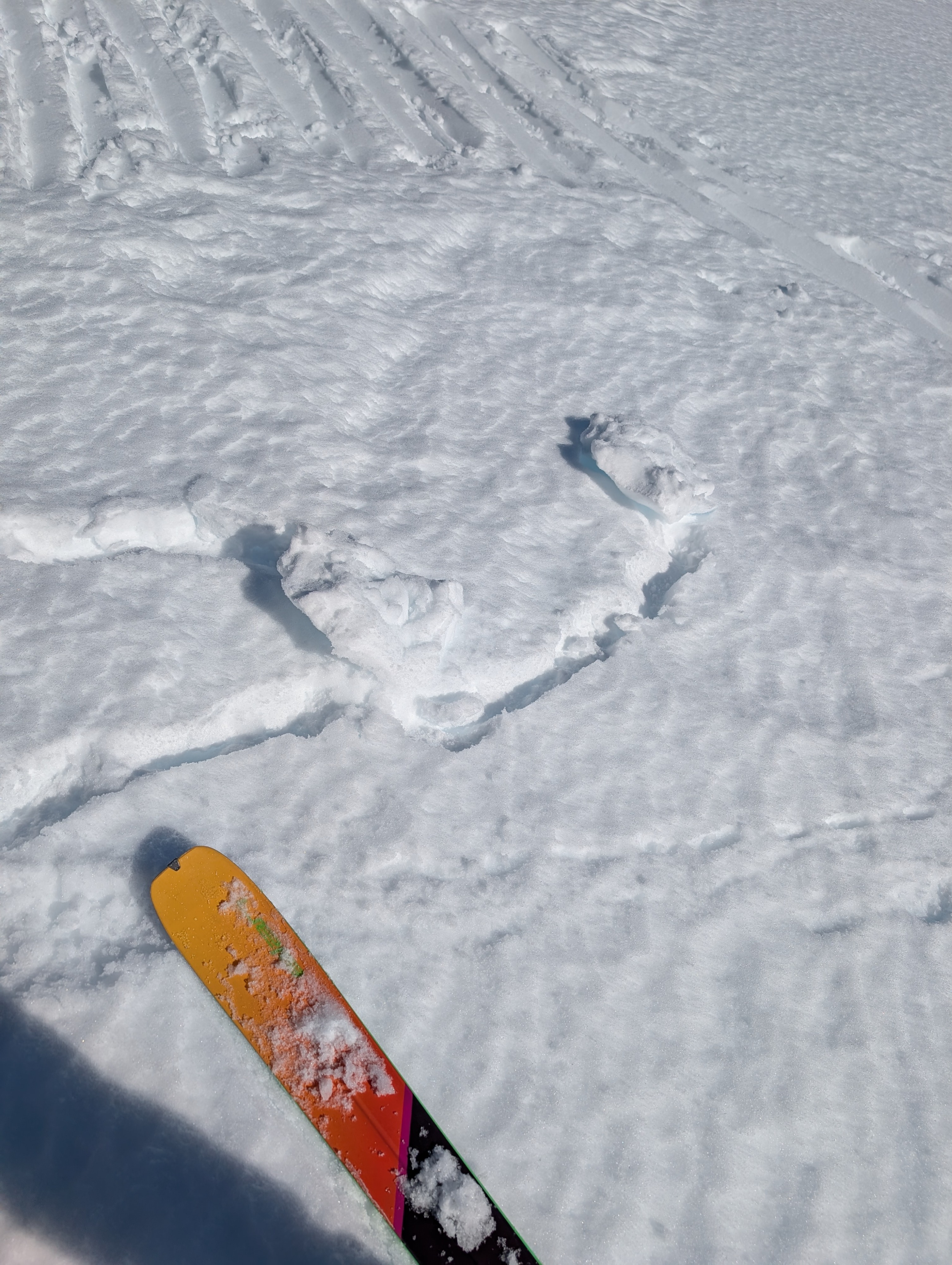
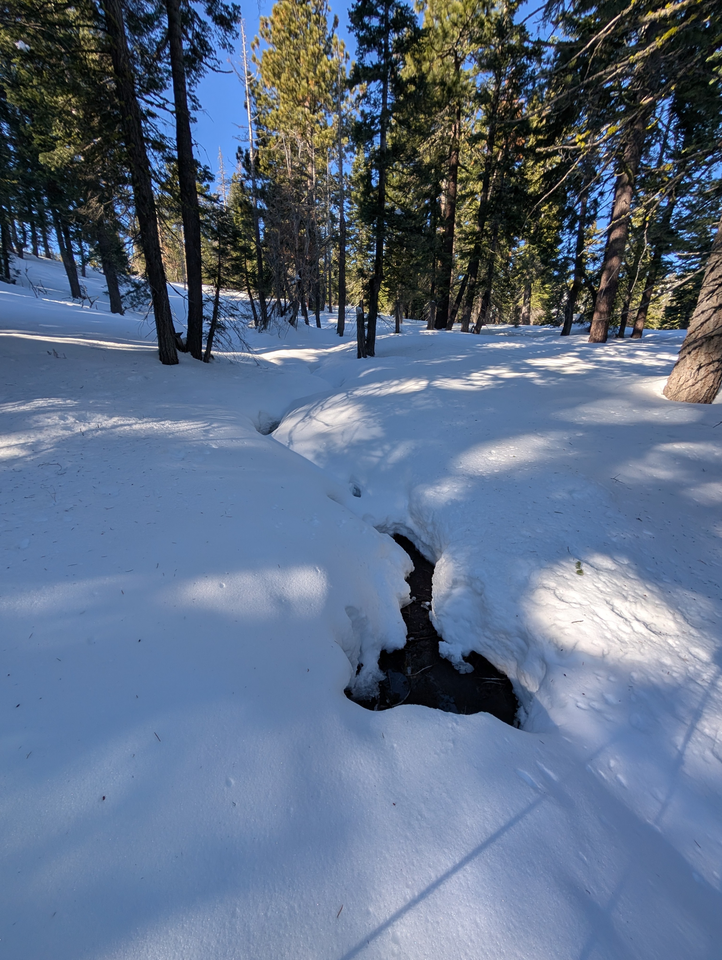
The lack of overnight refreeze and warm, sunny weather allowed many snow surfaces to become wet early today. We found warm and wet snow on most sunny slopes on Silver Peak before 11 am today. Even the north aspects held areas of warmer snow, especially under the trees. Ski kicks on steep, sunny slopes triggered some small pinwheels, but no larger wet-snow instabilities.
Some areas of colder, softer snow still lingered on steeper north aspects that were open to the sky.
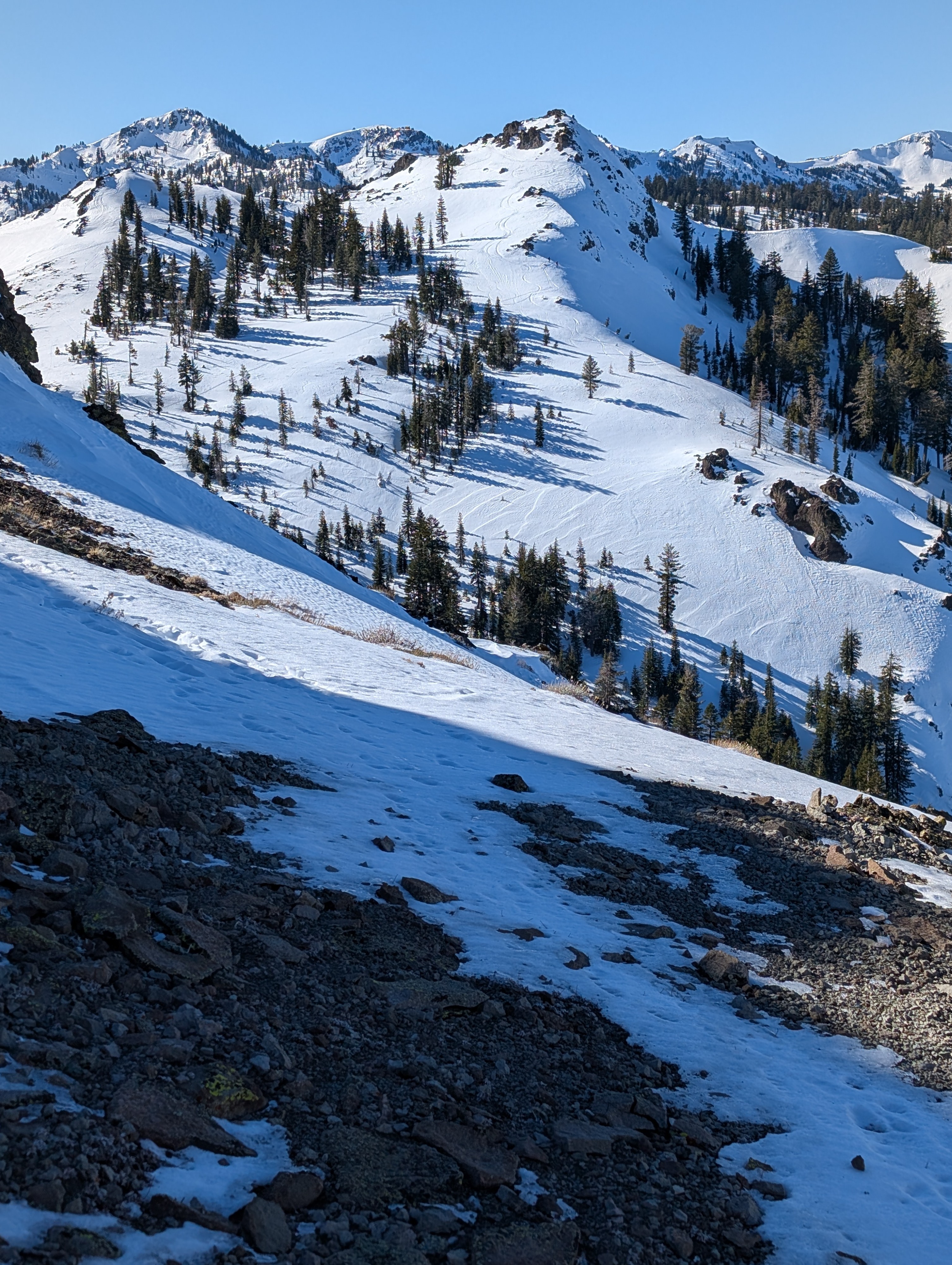
We also saw many signs of previous wind transport, including variable snow surfaces, but we did not see any blowing snow or evidence of unstable wind slabs during today's tour.
Weather
- Air Temp
- 50 °F
- Cloud Cover
- clear
- Wind Loading
- none
- Snow Avail For Transport
- small smounts
Cold temperatures at the trailhead quickly gave way to warm sunny weather as we gained elevation. Above about 7000 ft, it looked like it had remained above freezing all night.
Snowpack
Snowpit observations showed a snowpack with soft snow on the surface, with the snow layers becoming progressively denser with depth. Good bonding existed within and between layers, as well. Snowpit tests did not show signs of instability (ECTX, CTN, PST 97 & 98/100).