
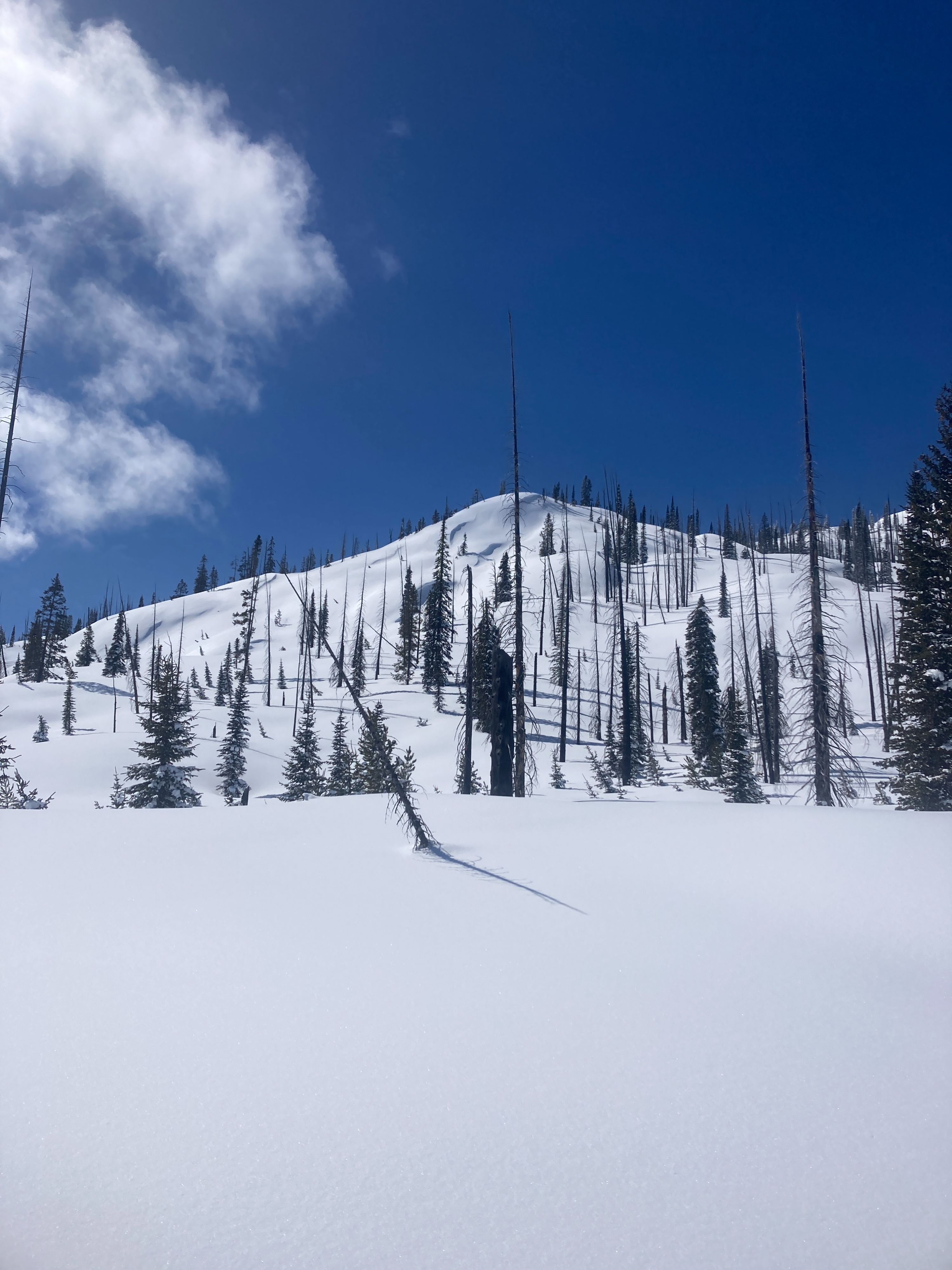
Quick report
Evidence of a large natural avalanche cycle that peaked sometime Sunday evening. Storm/wind slabs appear to have settled and strengthened in recent days. 3-4 feet of new snow since last Wednesday. No obvious PWLs or layers of concern observed in our pits. Incoming storms this week will likely fail at the new/old interface.
No obvious signs of instability noted during our tour today. Previous avalanche activity occurred Sunday PM (estimate).Weather
- Cloud Cover
- few
- Wind Loading
- light
- Recent Snowfall
- 90-120 (previous 7 days)
- Snow Avail For Transport
- small smounts
Cold and clear to start the day. Morning lows were in the single digits. Bluebird with lots of sunshine, partial clouds later in the day. High clouds were moving in from the SW by PM. SW winds were light, gusting into the moderate range above 7000'.
Snowpack
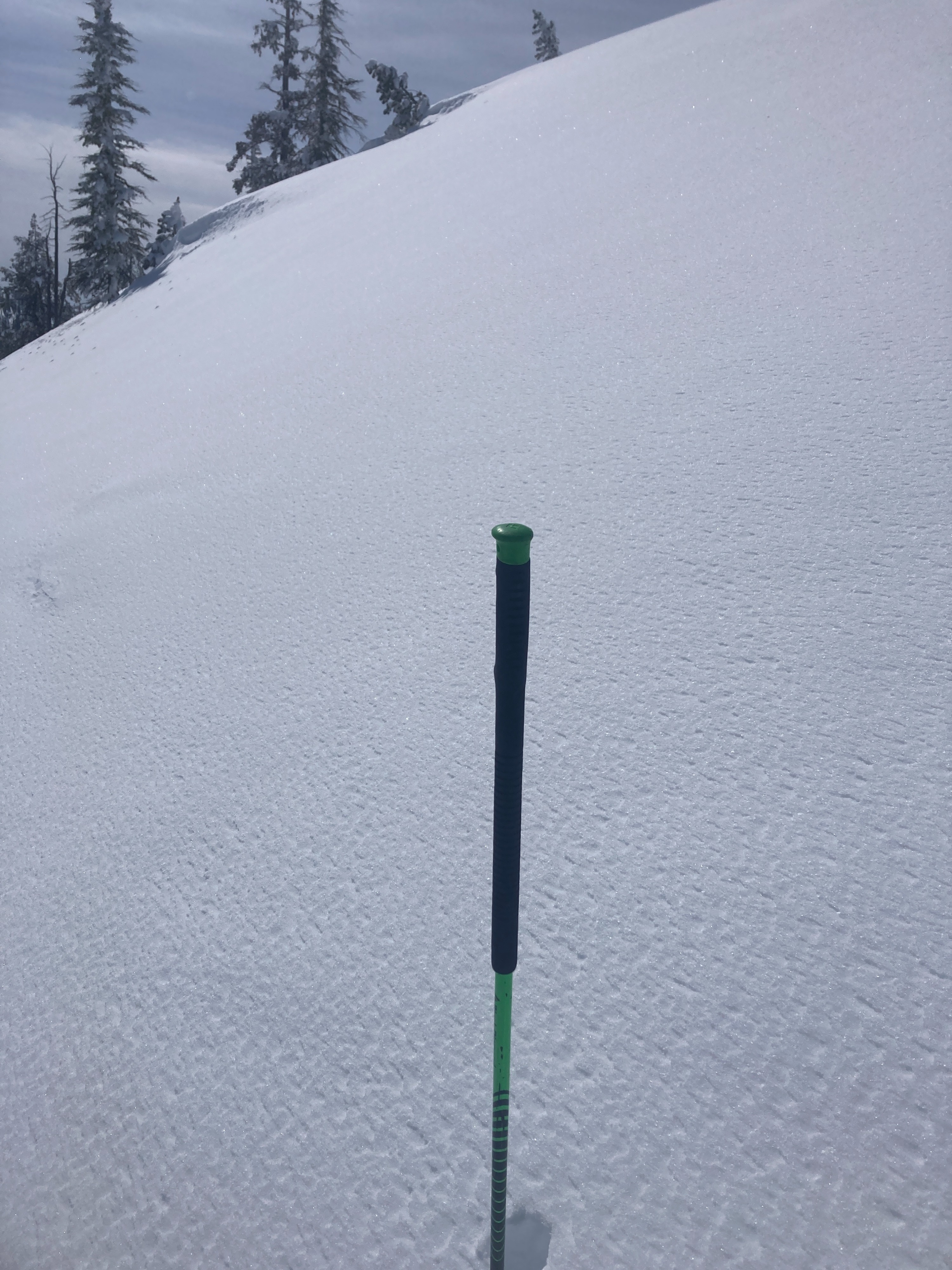
We observed 90-120 cm of new snow since last Wednesday. Recent storm snow is rightside up and overlying a knife-hard MF crust from early March dry spell. No PWLs or obvious layers/interfaces of concern observed in two different pits. SkiPen was 20-30 cm and BootPen was 45-60 cm deep. Solar aspects and lower elevation slopes were becoming moist in the upper 2-4 cm. Very thin MF crust forming on E/SE aspects in the afternoon. Rimed precip particles at the snow surface on lower elevation east aspects and upper elevation north in the shade, broken peices of SH and NSF on shaded north.
Avalanche
- Size
- D2.5
- Count
- 4
- Aspect
- E
- Trigger
- N
- Elevation
- 8000 ft
Observed numerous old crowns from weekend storm cycle. Avalanches likely ran sometime Sunday afternoon/evening. All were D2-D3 in size, most were above 7500', one was around 6500'. Mostly E, NE, N aspects, in steep terrain just beneath large cliff bands.