
Quick report
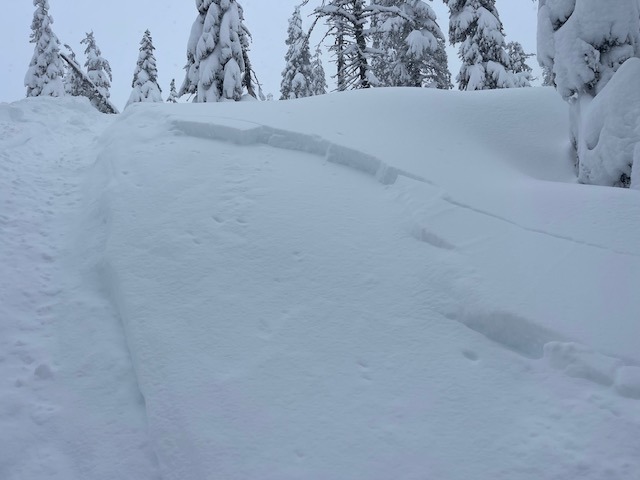
- Cracking
- widespread
- Collapsing
- isolated
Touchy conditions in the Eddy's on Feb 6th. Storm slab danger will subside, wind slab and cornice danger will linger. DEEP snow conditions exist. Sliding and riding in the Eddy Mountains requires solid winter backcountry skills right now.
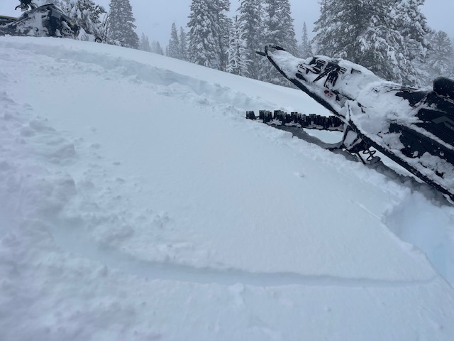
Touchy wind slabs on small test slopes below and near treeline. Slab thickness ranged from 5-10 inches.Weather
- Air Temp
- 24
- Cloud Cover
- obscured
- Wind Loading
- intense
- Rain Elevation
- Valley floor
- Recent Snowfall
- 25
- Snow Avail For Transport
- large amounts
Snowing and blowing, temps in the low to mid 20's, light snow in the AM gradually increased into the PM. Wind blowing out of the W/SW. New snow accumulation 5-10 inches depending on elevation. Dry snow near Parks Creek summit, moist snow anywhere below.
Snowpack
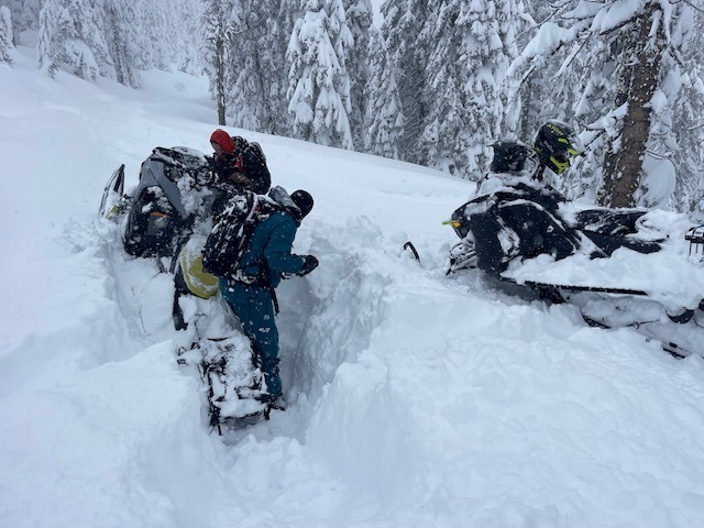
The snowpack is looking good in the Eddy Mountains with an average of 105 inches of snow on the ground near treeline. New snow over the past week averages 55 inches. The persistent weak layer that we have been monitoring has been unreactive to triggers. One low angle slope resulted in a whumph (settlement/collapse), but this seemed to be isolated. No other unstable results have resulted, and we have taken the persistent weak layer problem off the forecast. None-the-less, you can still dig and find it, now buried 3-4 feet deep. It will be difficult to trigger this layer into the future.
Small water courses are still exposed in some areas, be cautious.