
Quick report
- Cracking
- specific
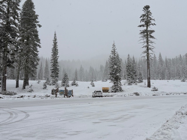
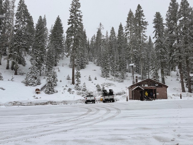
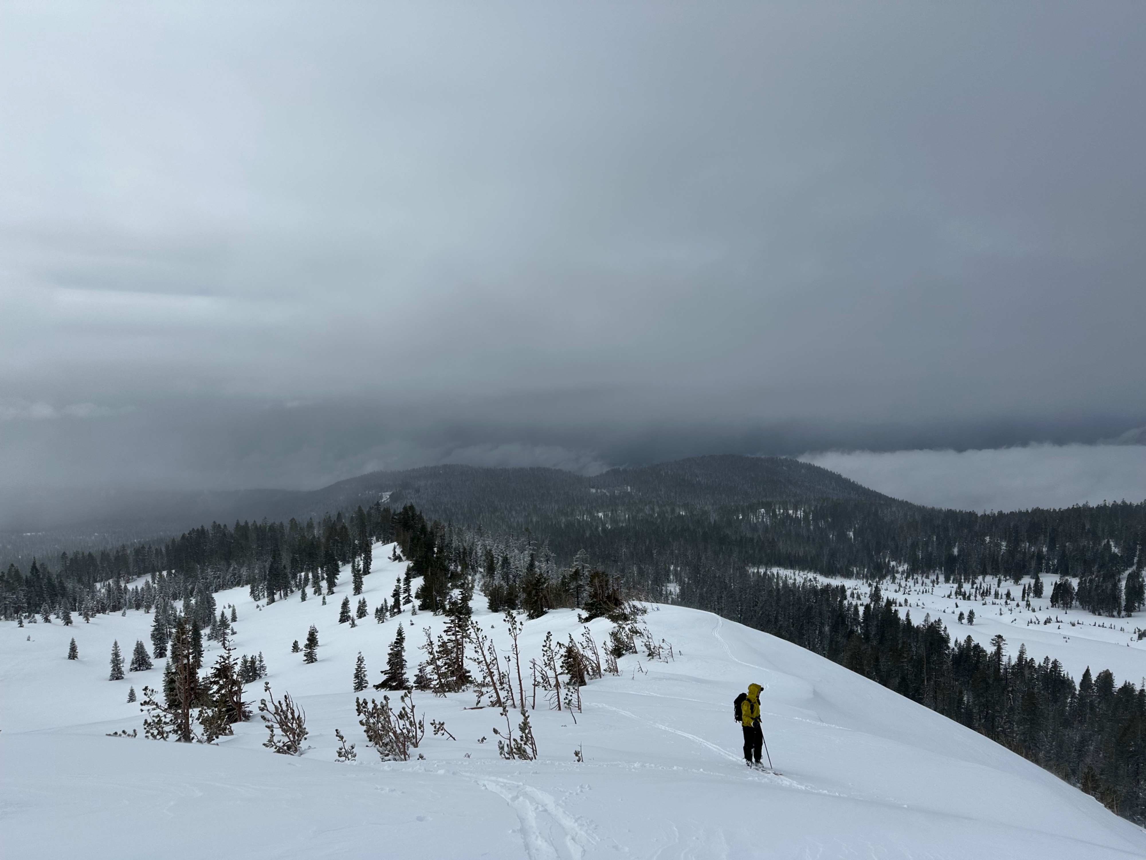
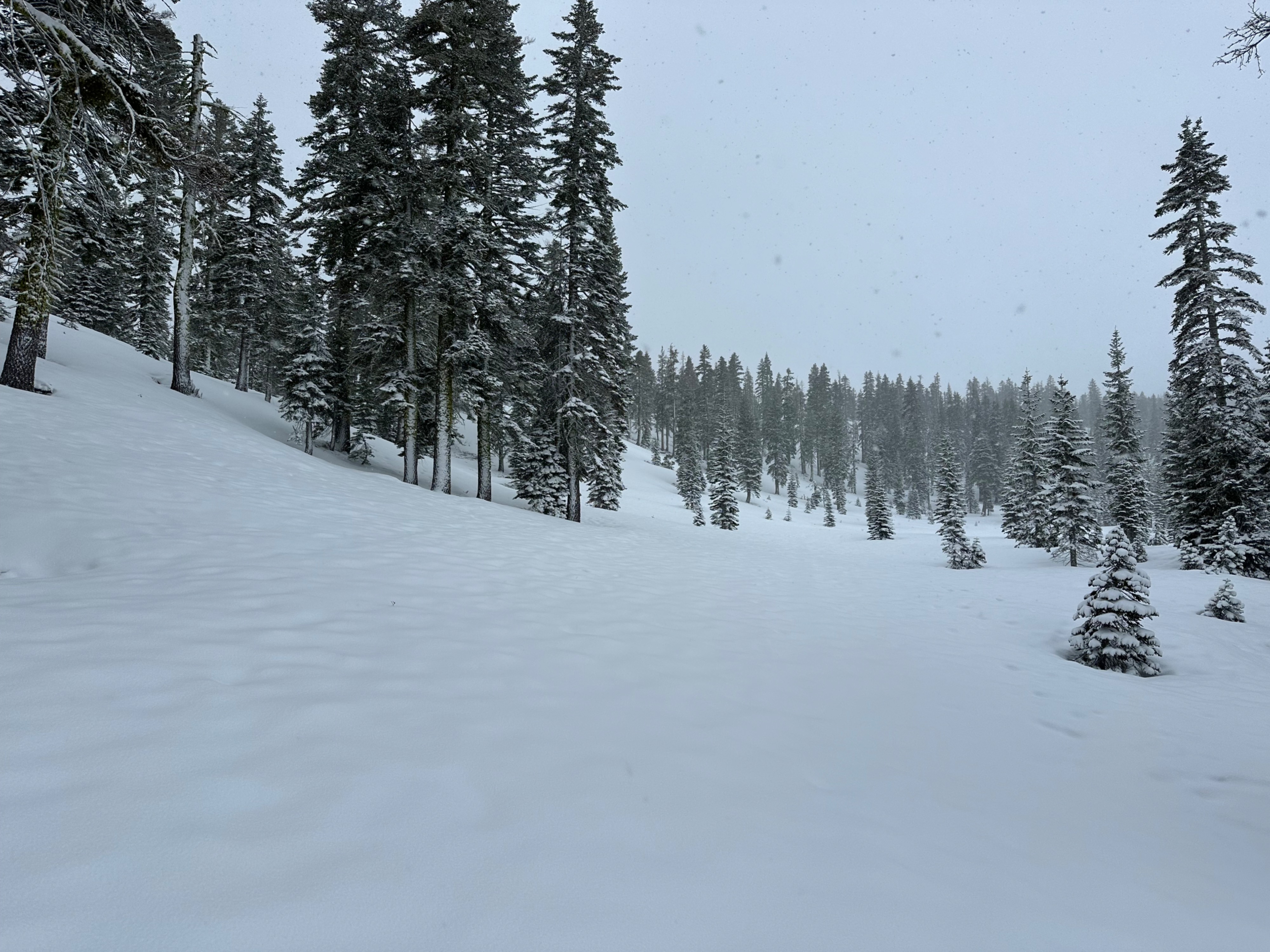
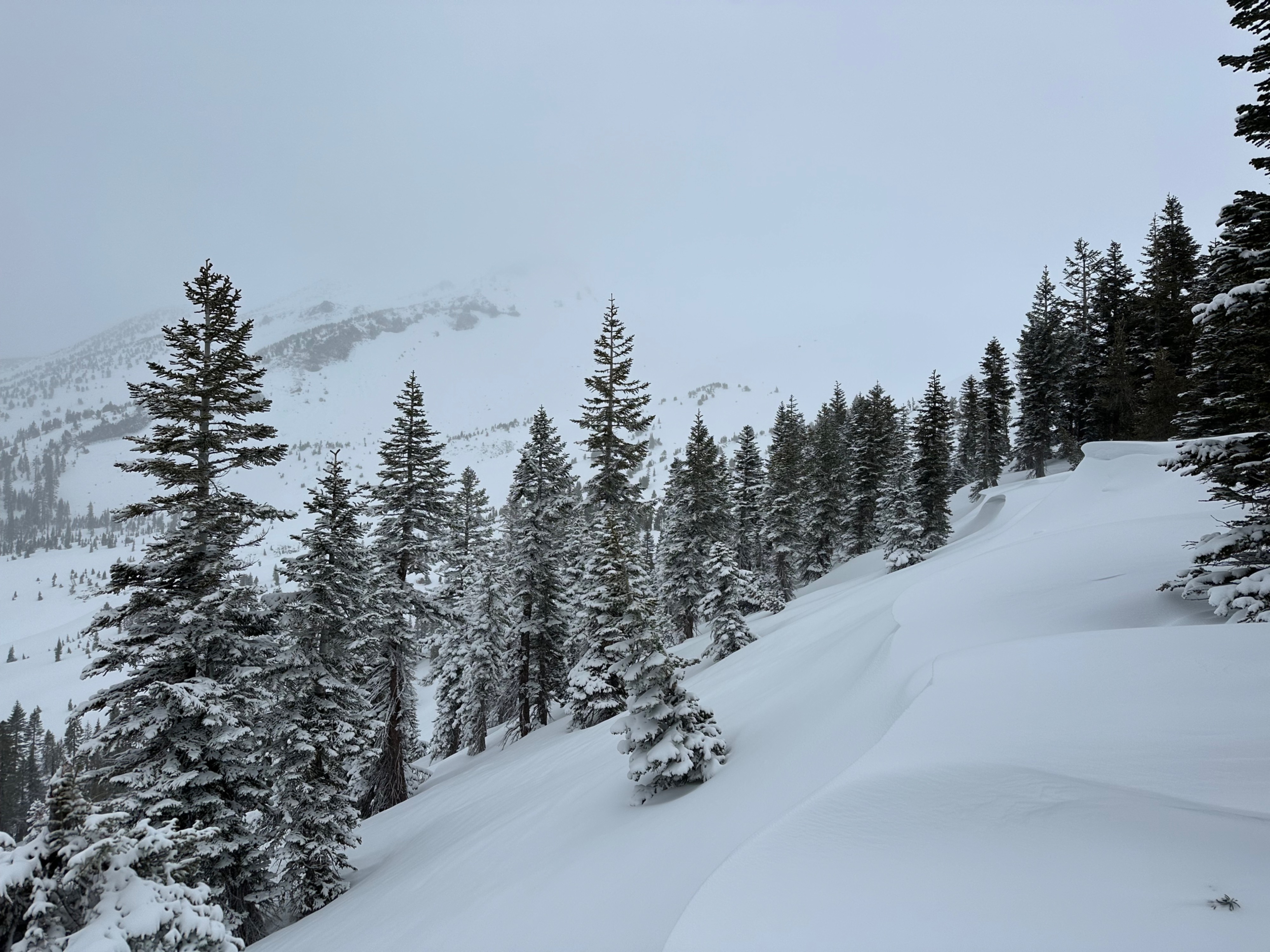
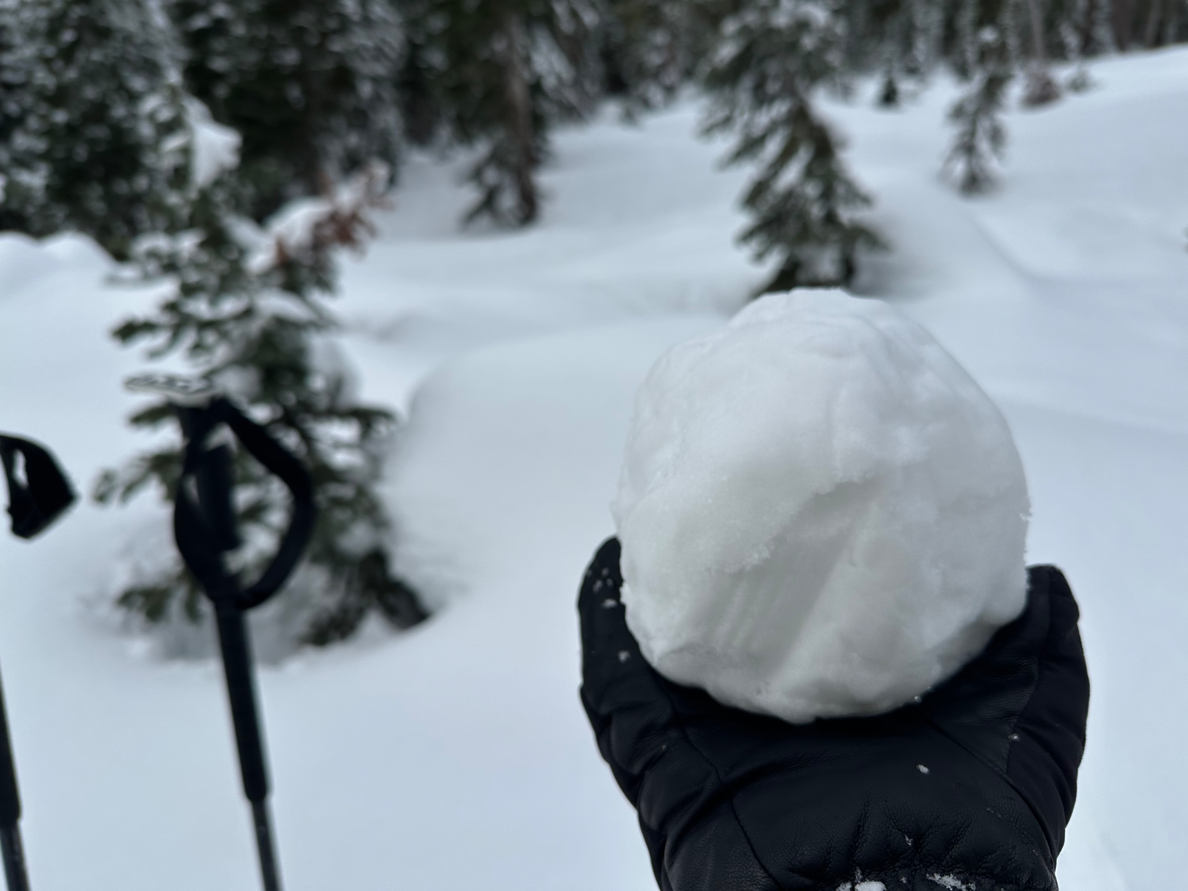
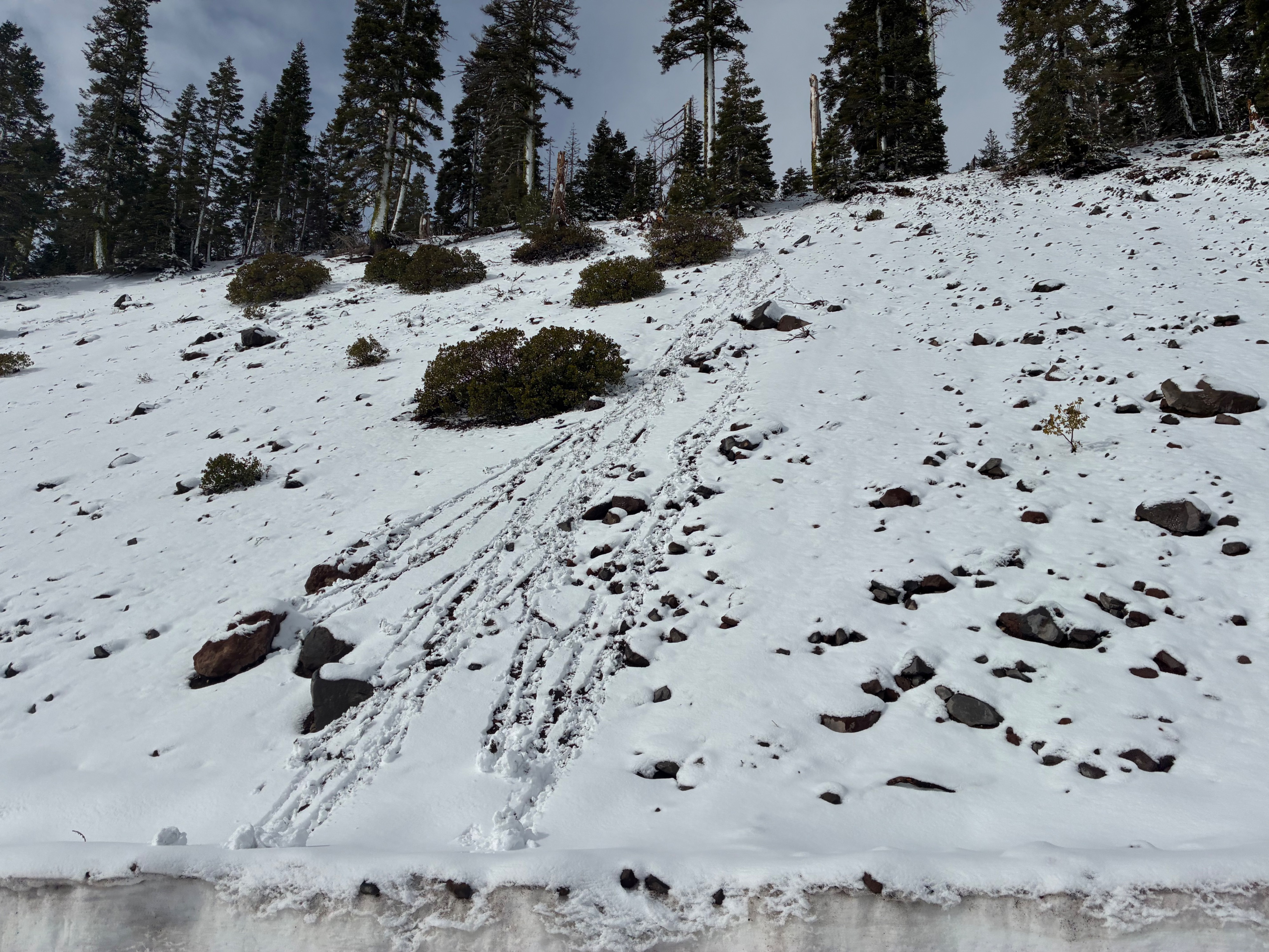
Green Butte Ridge: The recent storm delivered about 4 inches of new snow to Bunny Flat, and a bit more at higher elevations on Green Butte Ridge. The new snow and easterly winds formed small, reactive wind slabs up to 12 inches deep on westerly aspects near and below treeline. However, these slabs did not extend far downslope in any of the areas we traveled. By early afternoon, the new snow became moist to wet due to greenhousing. Numerous natural rollerballs were observed on southerly and northwesterly aspects.
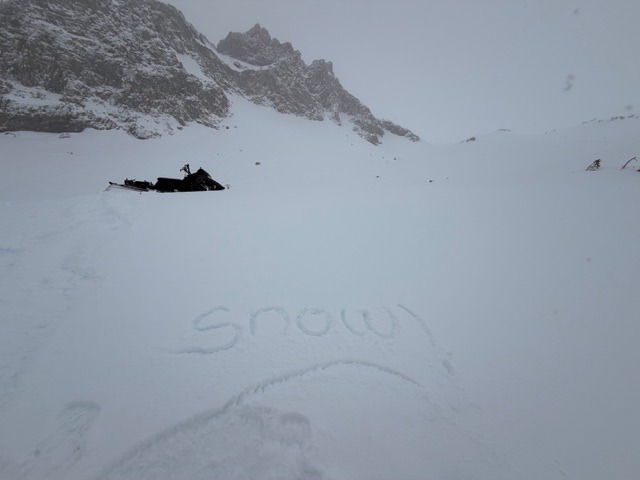
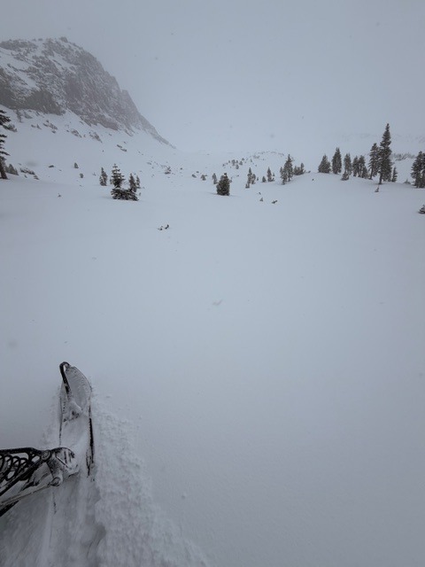
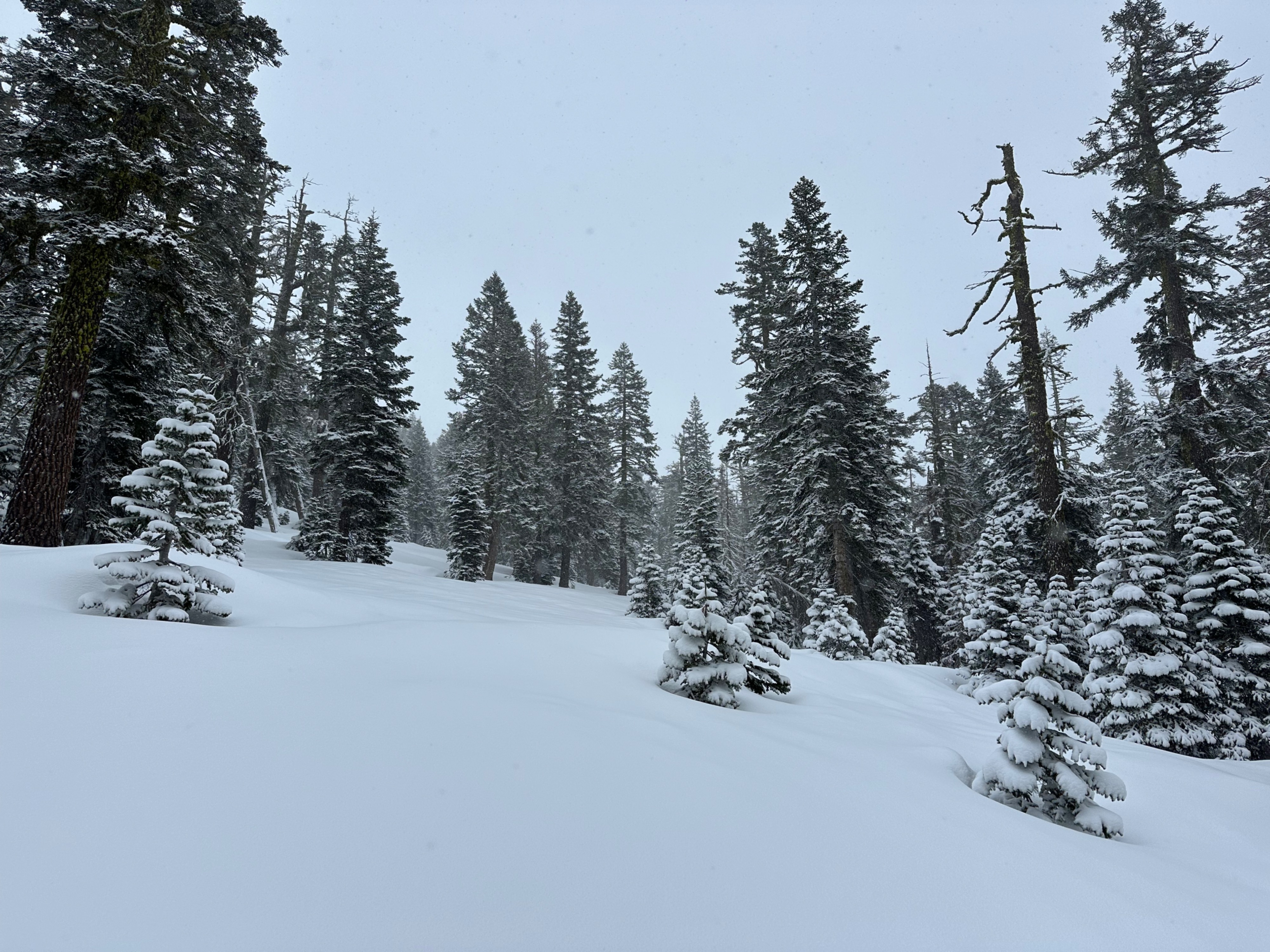
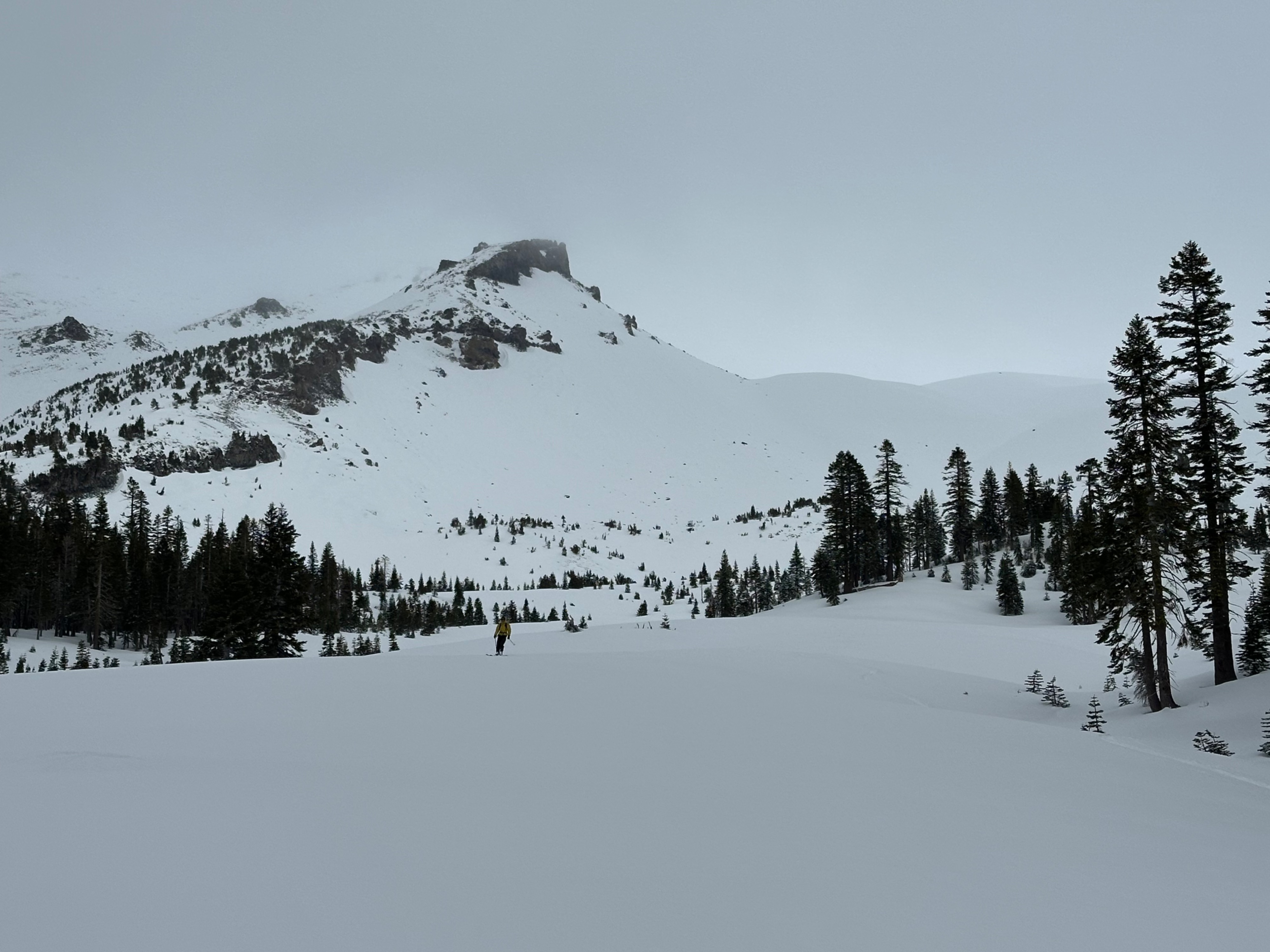
Old Ski Bowl: Similar conditions to the Green Butte Ridge tour. Notables for the day were poor visibility, calm wind in the bowl, and uneven distribution of new snow. Previous wind loading was observed. Active wind loading was not. It wasn't anything close to a full powder day, but a nice refresher nonetheless as Mother Nature works out her cobwebs from a month and a half hiatus. A stormy weather pattern is in the hopper; time to pay attention out there!
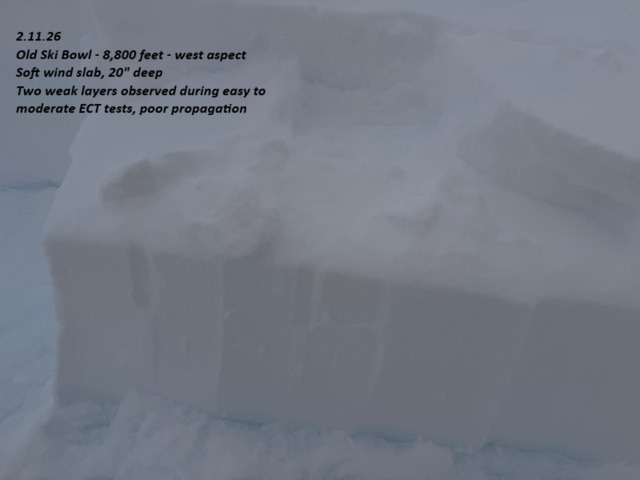
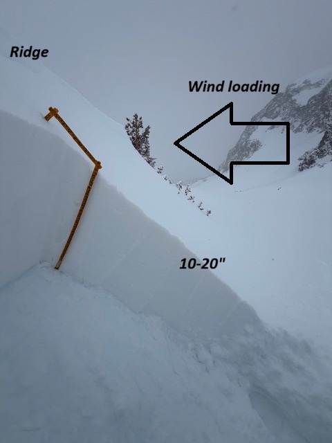
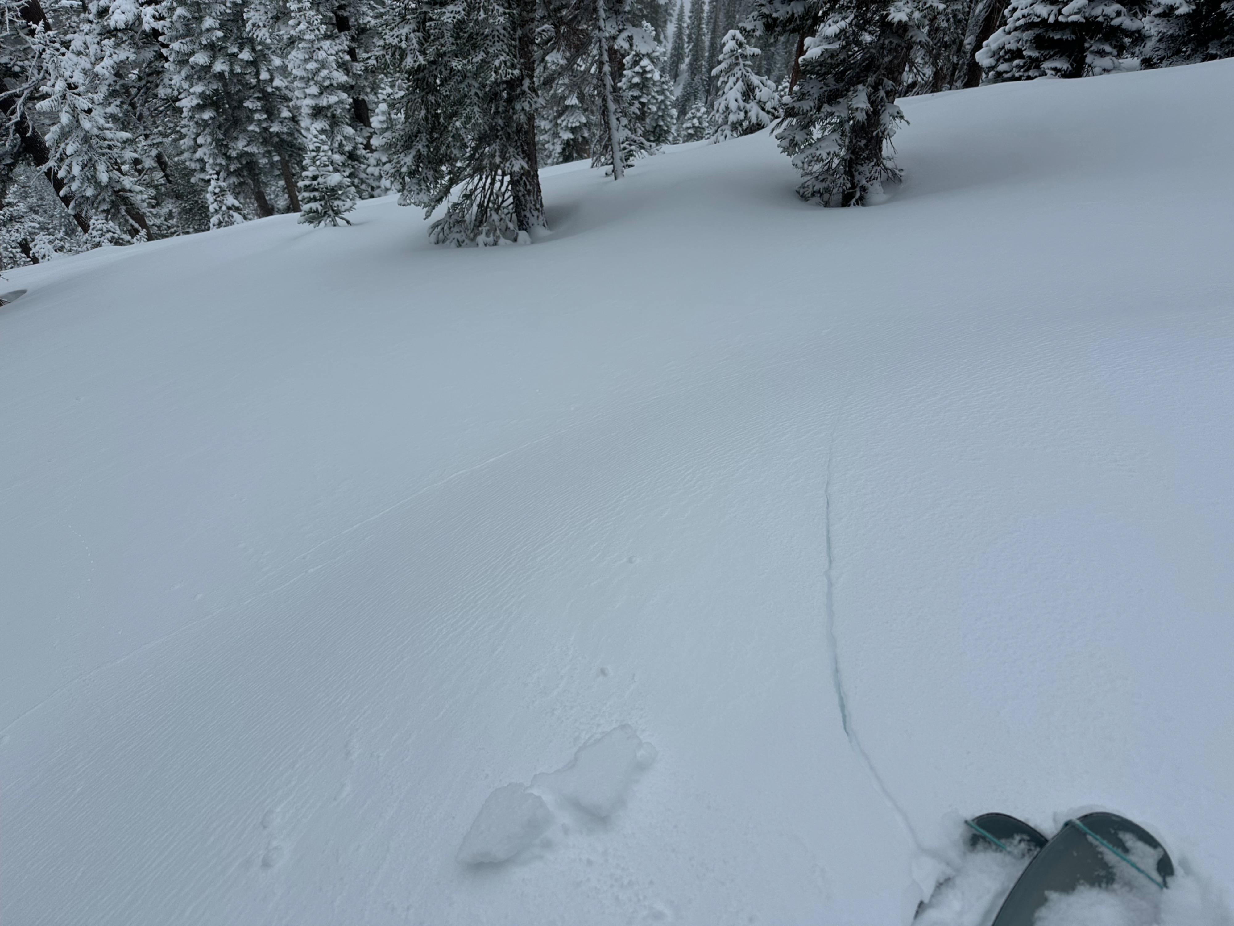
Shooting cracks in wind-drifted features on westerly aspects near and below treeline. Old Ski Bowl, westerly aspect, 8,800 feet, 20" deep wind slab, extended column test, easy to moderate failures, poor propagation, two weak layers, middle and bottom of slab. Weak layers in fresh wind slabs could be observed repeatedly; failure on a slope scale is uncertain, but caution is warranted in steep, consequential avalanche terrain where wind loading is observed. Wet loose roller balls in the fresh snow on slopes >35 degrees, W/NW aspect of Gray Butte in the afternoon during greenhouse event
Weather
- Air Temp
- 29
- Cloud Cover
- obscured
- Wind Loading
- light
- Rain Elevation
- 5500
- Recent Snowfall
- 12
- Snow Avail For Transport
- moderate amounts
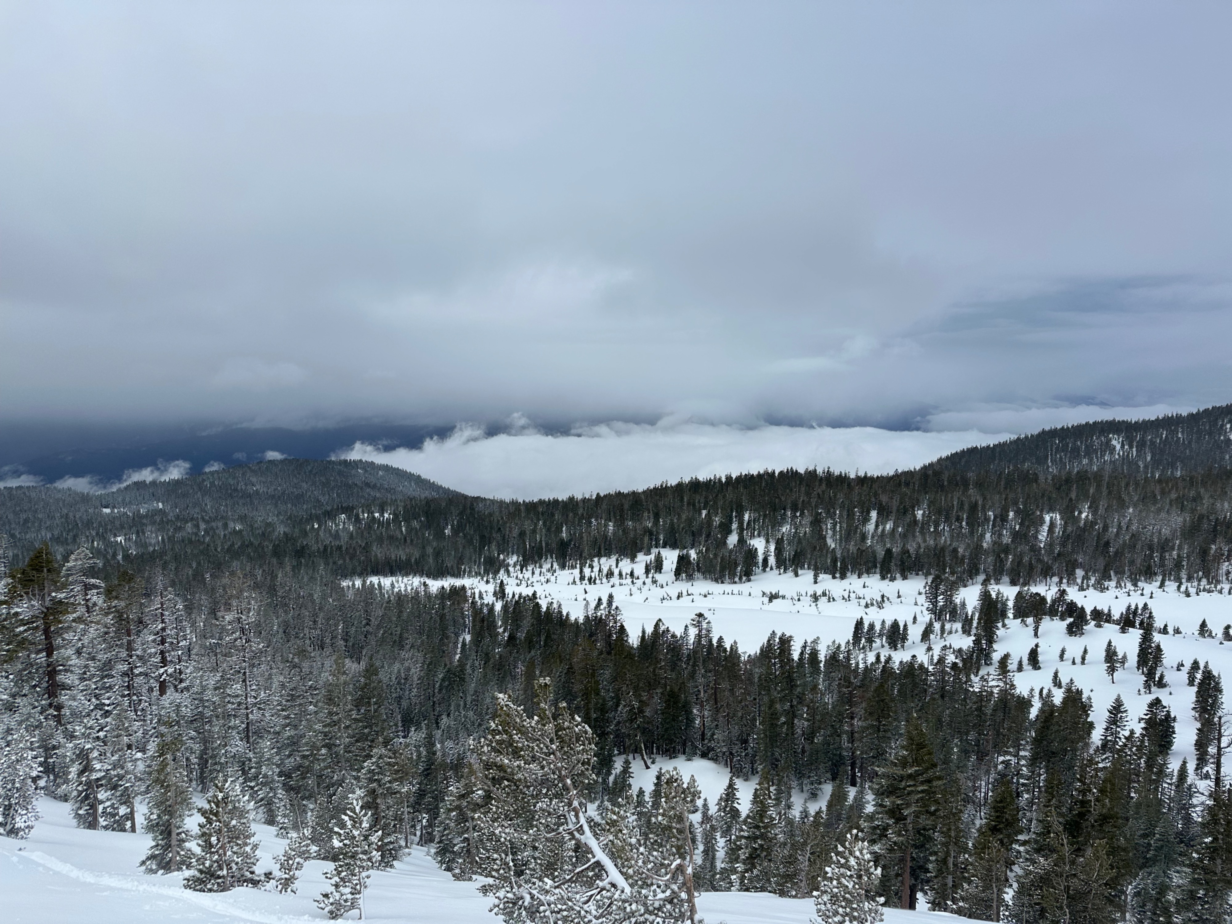
Green Butte Ridge tour: Light snow throughout the morning hours, tapering by early afternoon with partially clearing skies. Moderate southeast winds in exposed areas. Old Ski Bowl: The sky was obscured with a cloud deck near 9,500 feet for most of the day. Temperatures warmed to 34 degrees this afternoon, clouds thinned, and the atmosphere greenhoused. Overall, it was pretty calm with not much wind.
Snowpack
Green Butte Ridge: New snow depths vary significantly across the terrain. Wind-scoured ridgelines and areas under dense trees held anywhere from zero to an inch or two of new snow, while wind-loaded features held up to 12 inches.
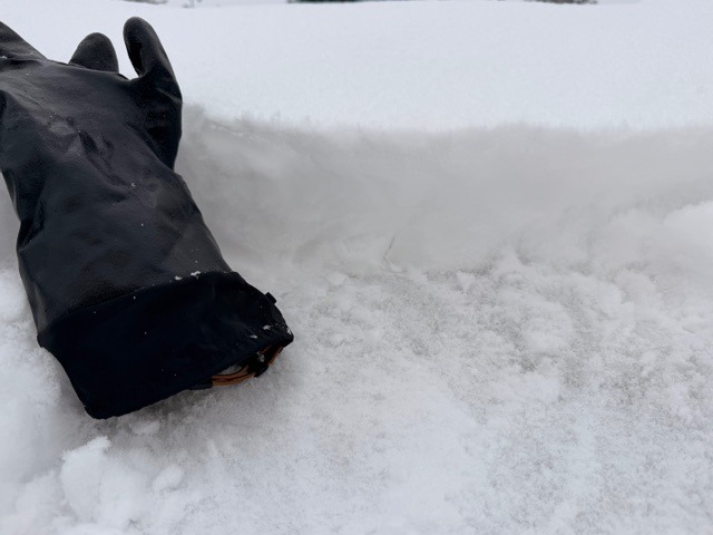
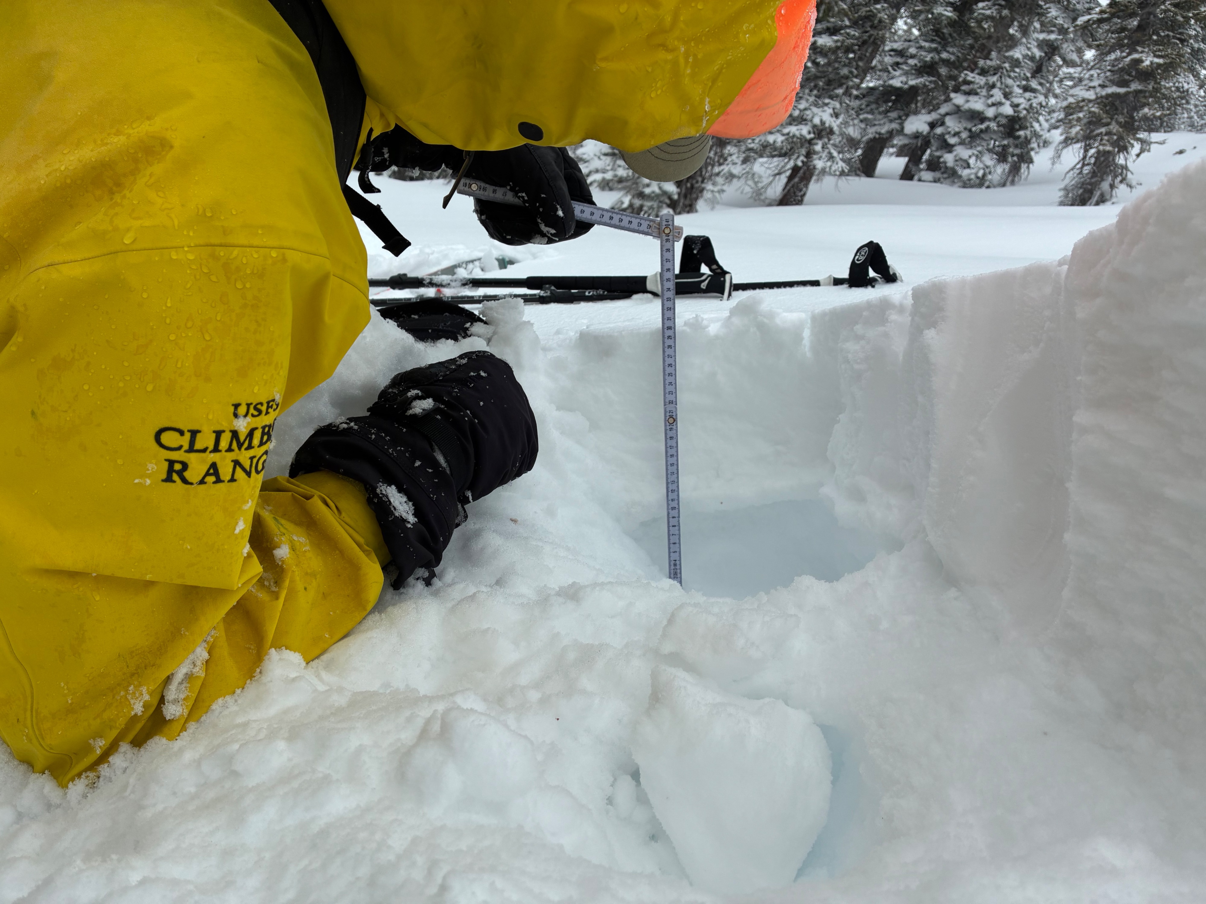
The small, reactive wind slabs on leeward, westerly terrain features failed primarily on density changes within the new snow. On a wind-loaded west aspect at 8,200 feet, an 8 inch wind slab broke on a ~1 inch melt-freeze crust - the new/old snow interface. This crust sat above moist .5mm-1mm faceted snow (1F) (see photos).
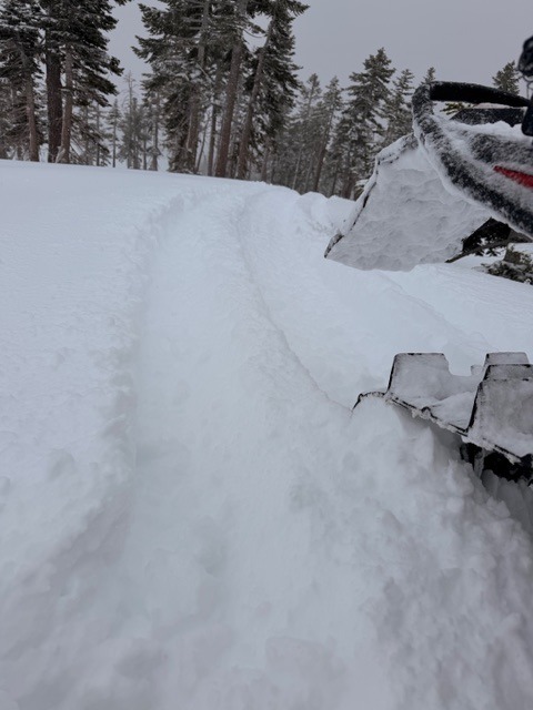
Old Ski Bowl: While the Old Ski Bowl weather station recorded only 2 inches of new snow and .36 inches of water equivalent from the Feb 10/11 storm, actually observed was 4 to 6 inches. An icy crust remains below the new snow. Beware of this snowmobiling; you can lose traction fast climbing steep moraines where new snow amounts are minimal. Moderate wind speeds were productive in producing wind-drifted areas up to 20" deep. An east/southeast wind has been predominant over the past 24 hours, which means those westerly and northwesterly aspects are most suspect for wind loading. Observed southerly, cross-loaded aspects also.
New snow on the ground existed down to 5,500 feet, but just a trace at that elevation.
Avalanche
No large slab avalanches were observed today. Small test slopes produced some cracking and blocking in wind-drifted areas, and stability tests identified two weak layers. It's likely these weak layers/slabs will stabilize quickly with warmer temps. Visibility was difficult above 9,500 feet. Wet loose roller balls were observed through poor visibility and the misty greenhouse effect mid/late afternoon on NW aspect of Gray Butte.