
Weather
- Air Temp
- 27
- Cloud Cover
- overcast
- Rain Elevation
- 4000
- Recent Snowfall
- 20
- Snow Avail For Transport
- small smounts
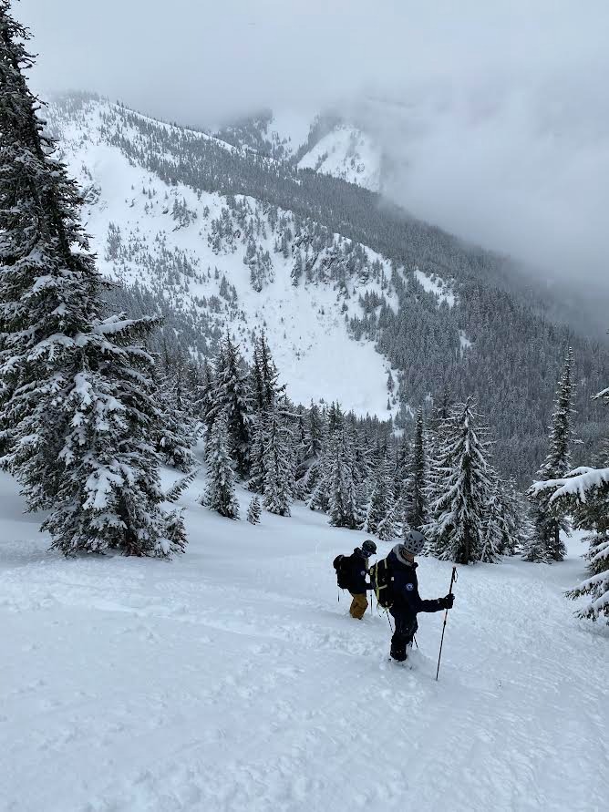
Overcast, with S1 snowfall most of the day. Brief periods of heavier snowfall in and out. Light wind, with temps in the mid 20s. By around 3 in the afternoon the skies had started to clear and pieces of blue sky poked through.
Snowpack
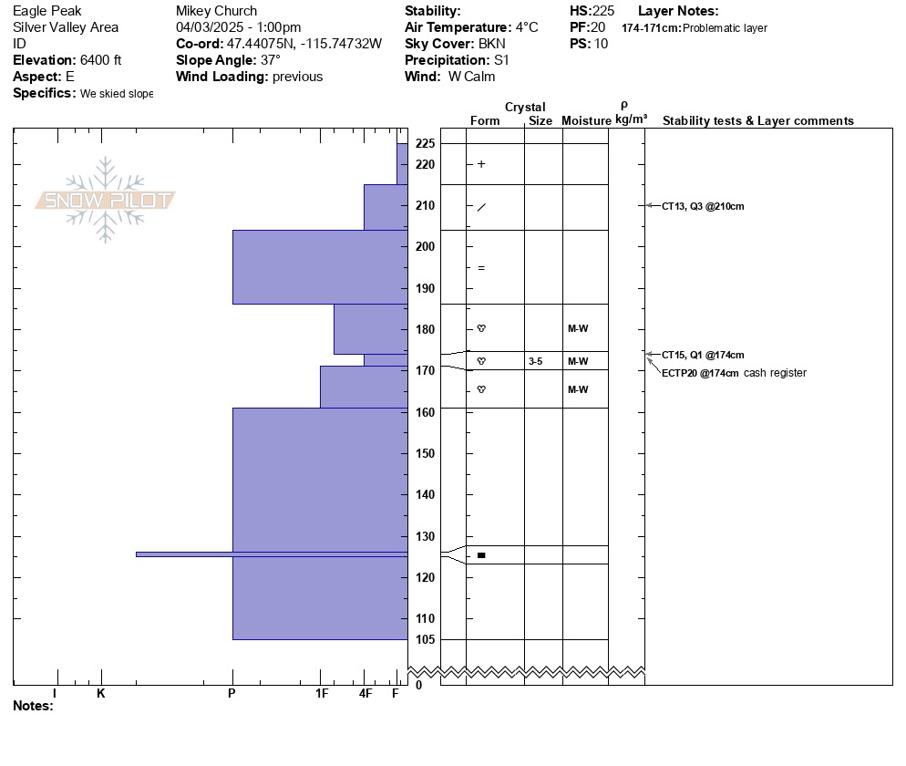
At 6400' on an east facing slope, we found an overall height of snow to be 225cm, with about 20-25cm of new F-4F snow on top of a 15-20cm thick P- melt freeze soaker crust from 3/28. Directly below the crust, there was heavily saturated snow that was 4F-1F. The snow is still wet-moist from the warming and rain event at the end of March, and the liquid water is weakening the bonds betweeen the large clustered rounds. Below this layer of concern, the rest of the snowpack is moist and saturated. During stability tests, we got an ECTP20 down 45cm on the layer of weak 4F wet snow below the crust. We could get sluffs to run long distances on steep slopes, and observed the new snow starting to warm up towards the afternoon. The very beginning signs of a wet loose problem was materializing.