
Quick report
- Cracking
- isolated
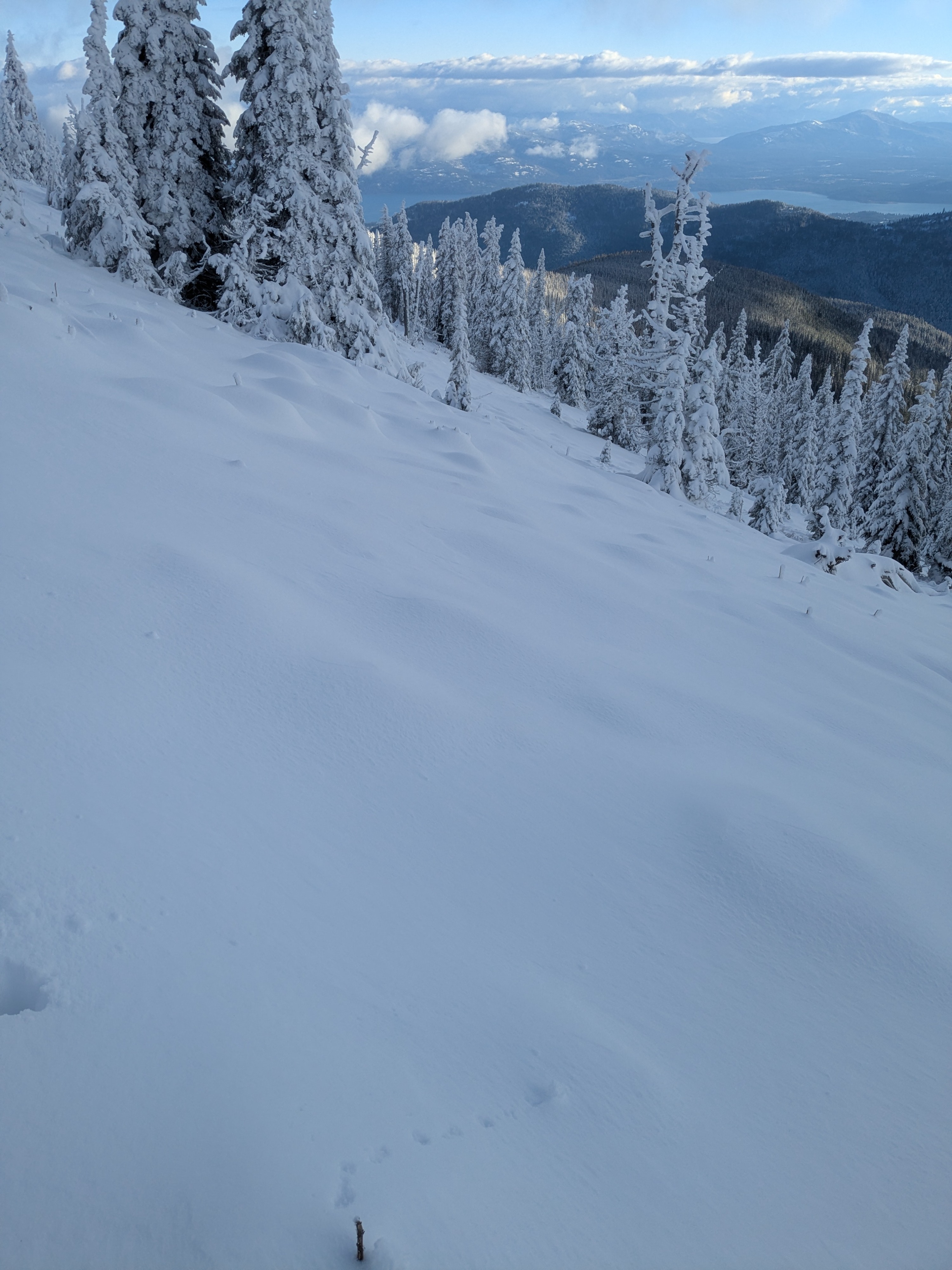
Even though low elevations picked up new snow yesterday, the snowpack remains shallow below 5,000 feet. Snow depths increase steadily with elevation, and once you climb above 5,500 feet you’ll encounter a layer of older snow buried beneath the recent storm snow. This old snow is firm and present on all aspects above 6,000 feet, though it is noticeably thinner on south-facing slopes.
Weather
- Cloud Cover
- few
- Wind Loading
- moderate
- Recent Snowfall
- 12
- Snow Avail For Transport
- moderate amounts
Broken skies and sun. Steady winds along ridgelines made for a chilly day. No snow transport visible but the damage had been done.
Snowpack
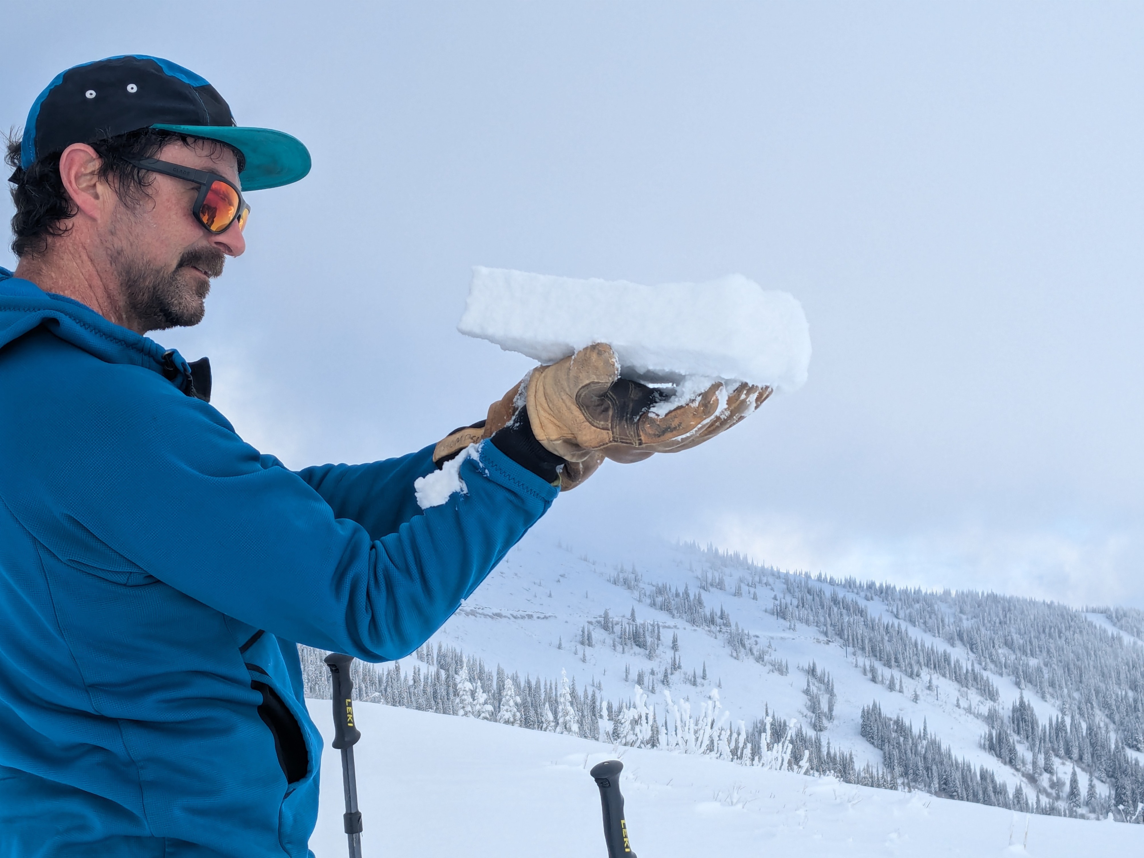
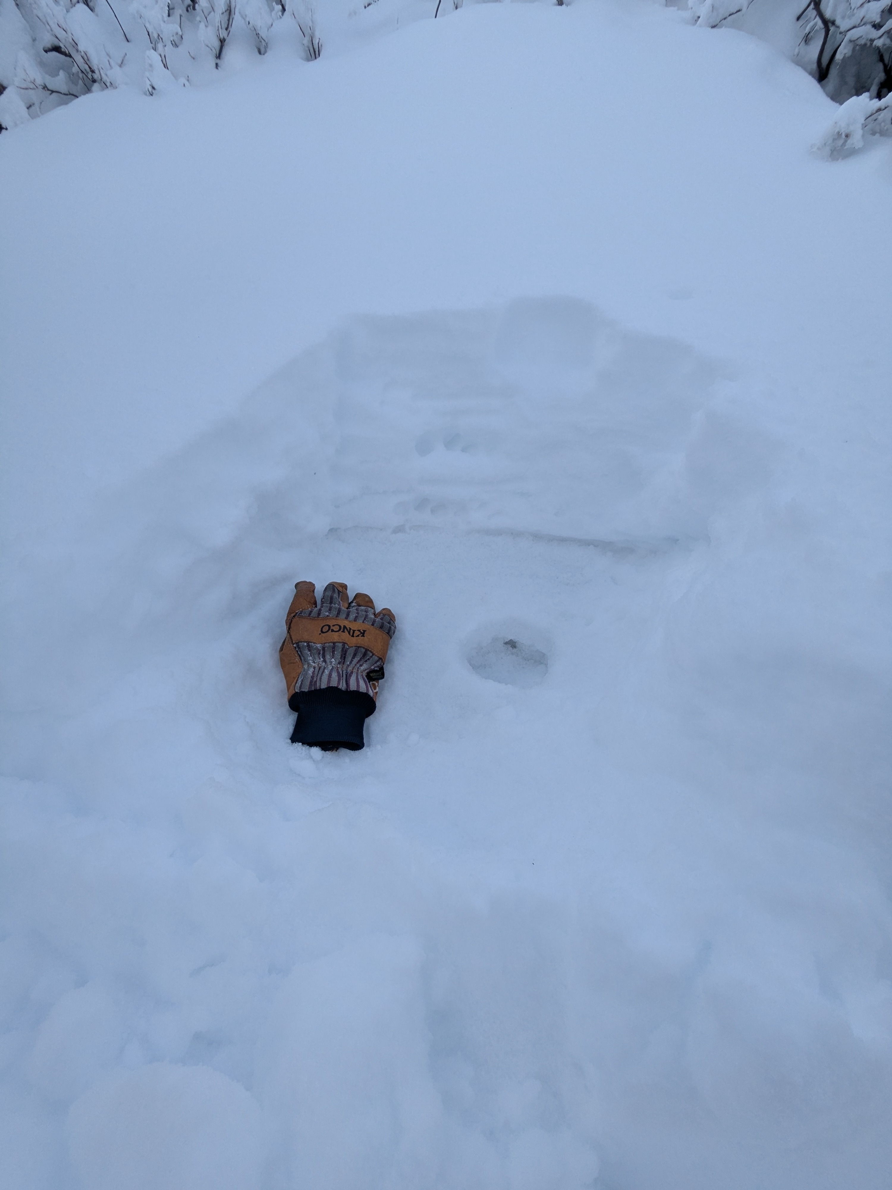
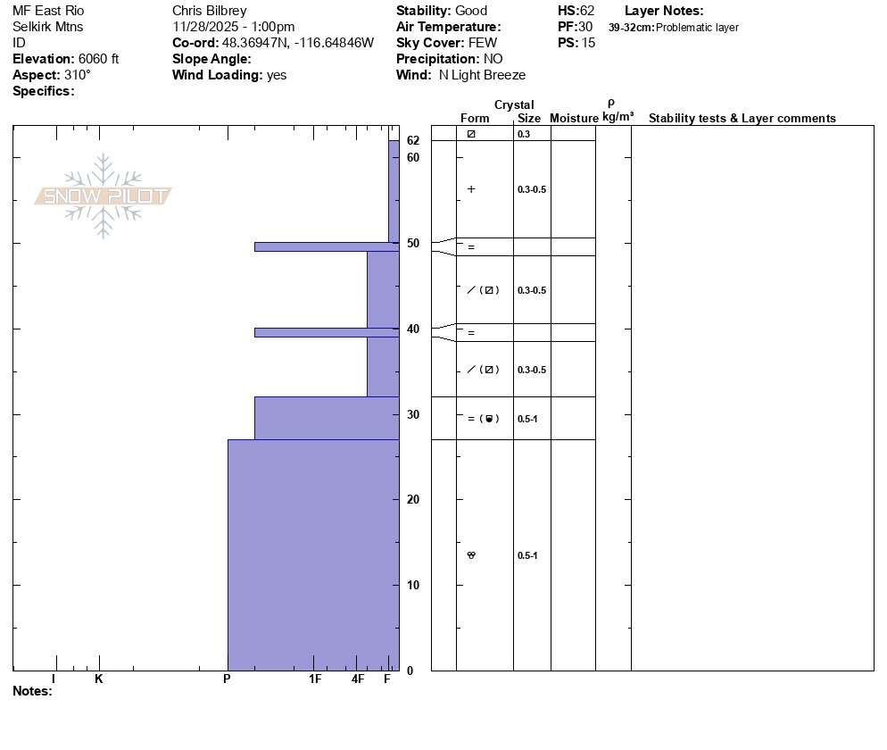
Yesterday’s storm delivered 2 to 5 inches of new snow in the southern Selkirks, with accumulations increasing as we gained elevation. Snowfall totals since 11/23 range 12 to 14 inches. By 6,000 feet we consistently measured a snow depth of around 60 cm. The lower half of this snowpack consists of an older, firm layer that has undergone multiple melt–freeze and settlement cycles. Above it lies a relatively uniform layer of light but cohesive storm snow, from last night, that bonded variably to the old surface. On ridgelines, we found pockets of wind-affected snow that were noticeably deeper, denser, and more consolidated. These wind slabs were generally small in distribution and limited to leeward ribs and ridges, but they are worth paying attention to if you are traveling on or below steep, wind-loaded features. Right now, the slab above the weaker layers is not thick or stiff enough to produce widespread or large avalanche activity. Test results showed minimal propagation potential, and failures were resistant and localized. However, this structure has the potential to change quickly. With additional load, whether from new snowfall, wind transport, or warming that settles the upper snow, it’s likely that this interface will become more reactive. As the slab gains strength and continuity, expect sensitivity to increase, particularly in areas where winds have already added extra weight. Travelers should continue to evaluate the bonding at the new/old snow interface, pay attention to changes in slab thickness with elevation or wind exposure, and be prepared for conditions to become touchier as the next weather system moves in.
Avalanche
None observed