
Quick report
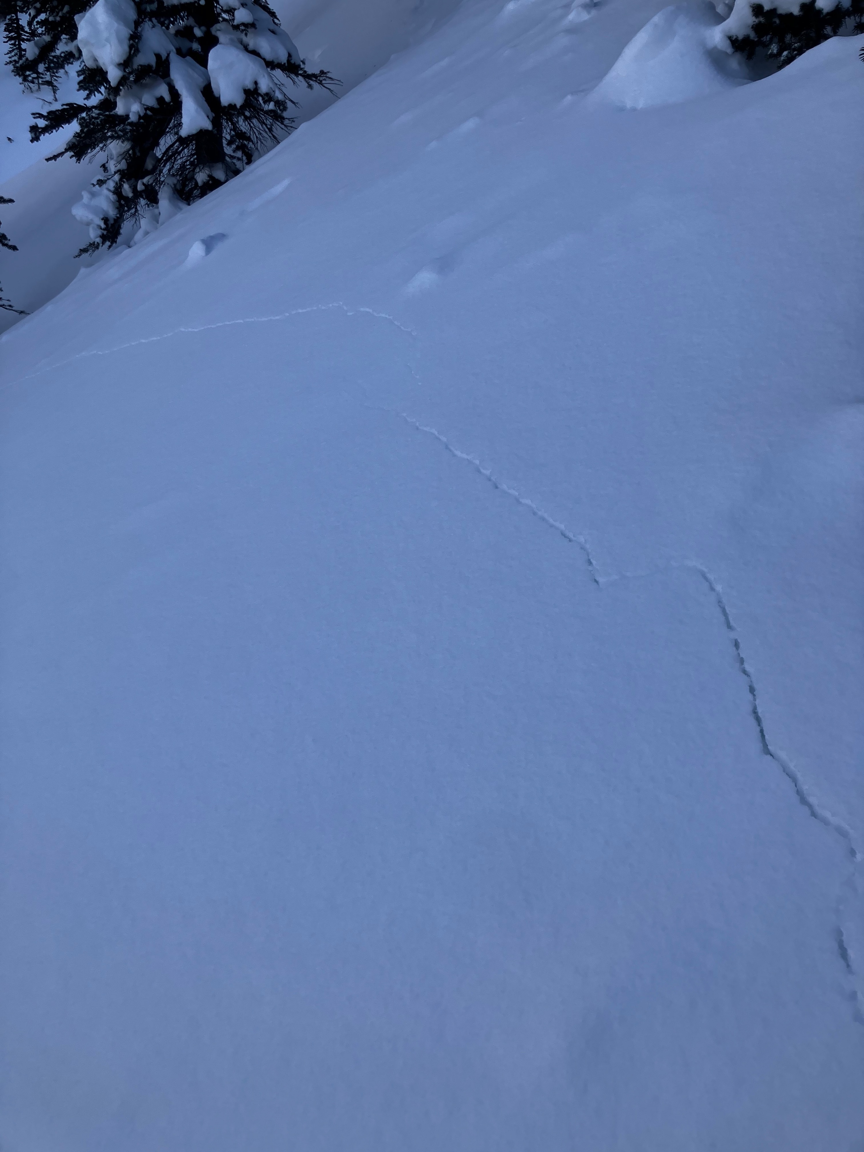
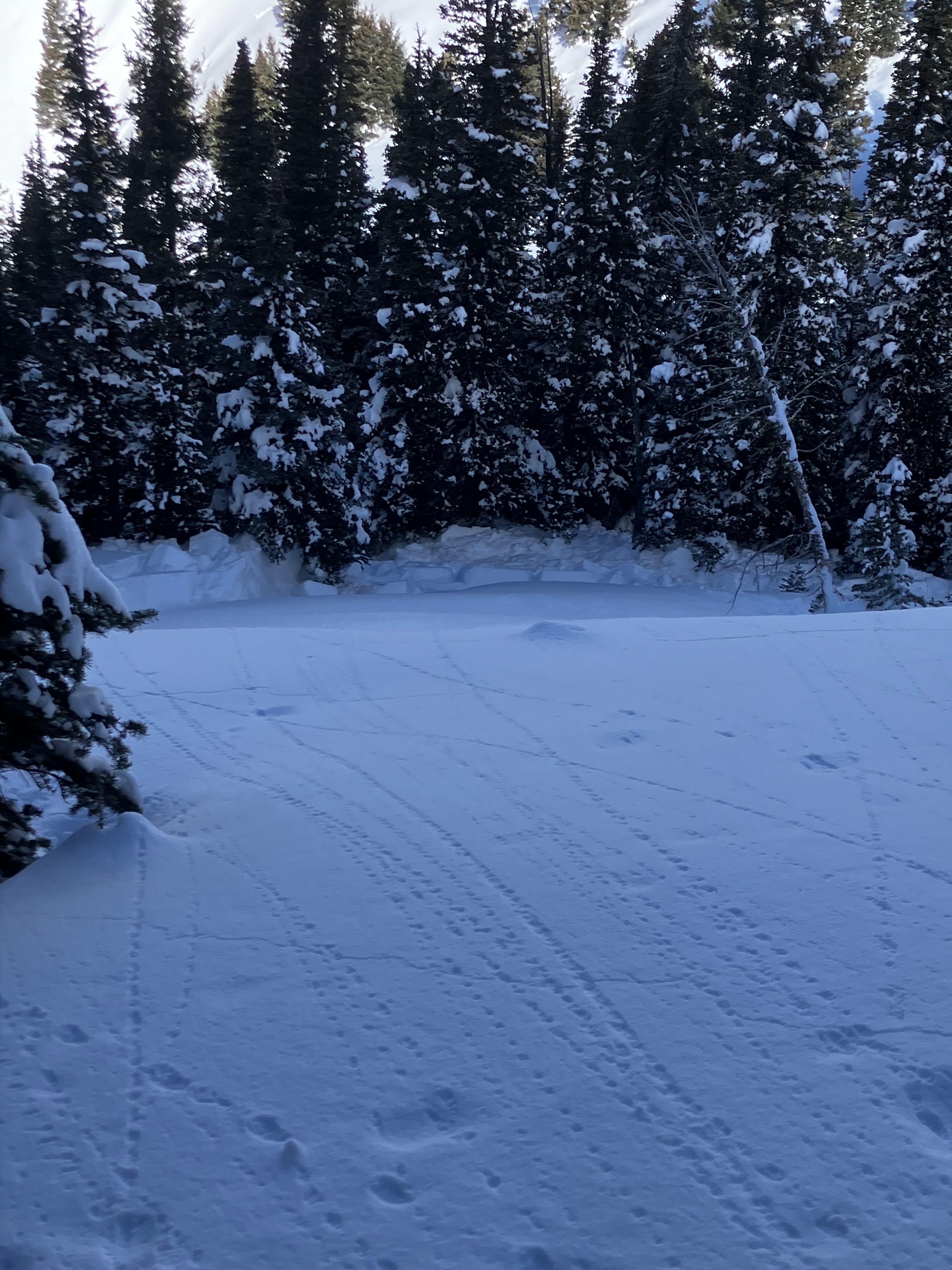
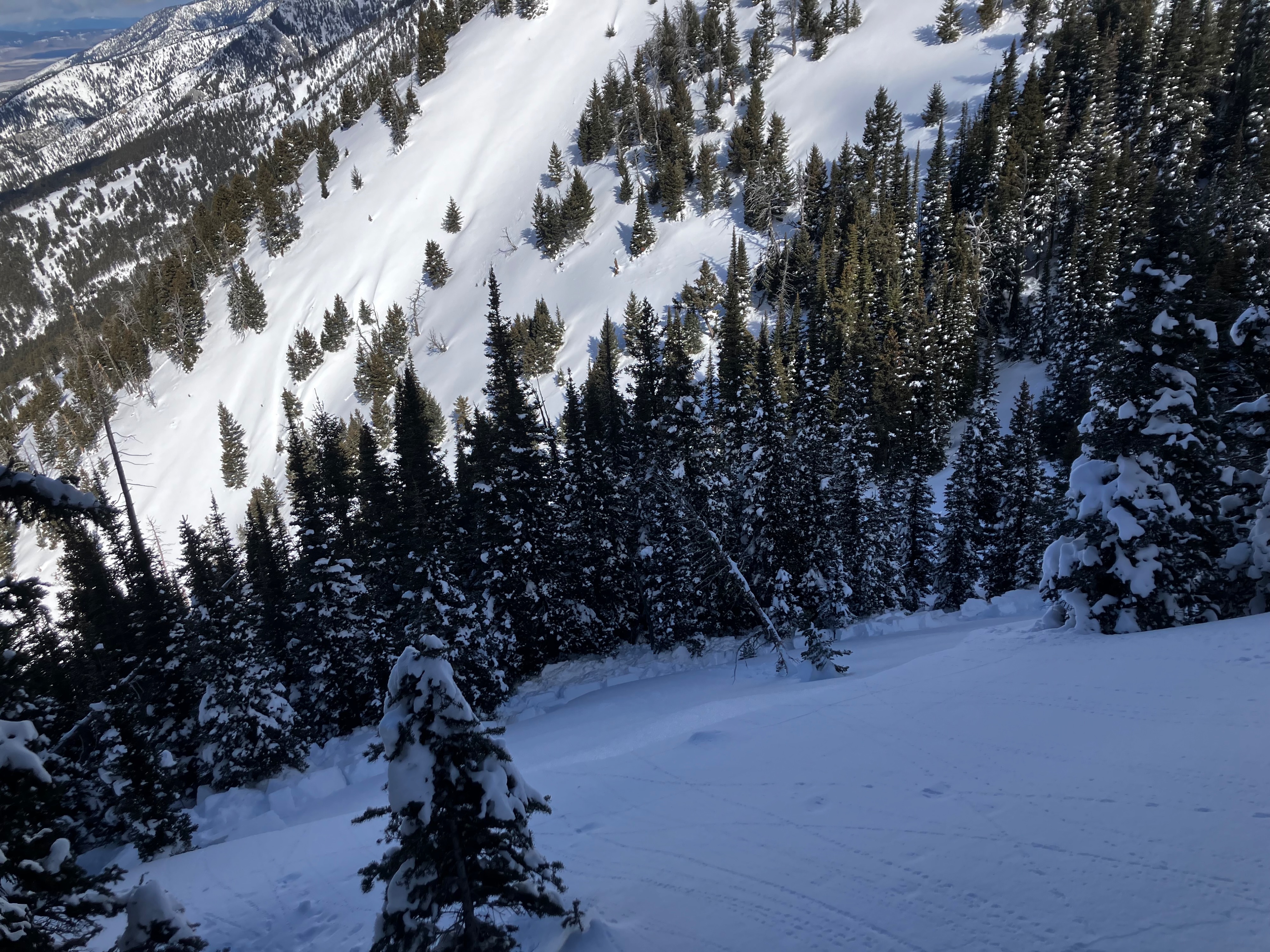
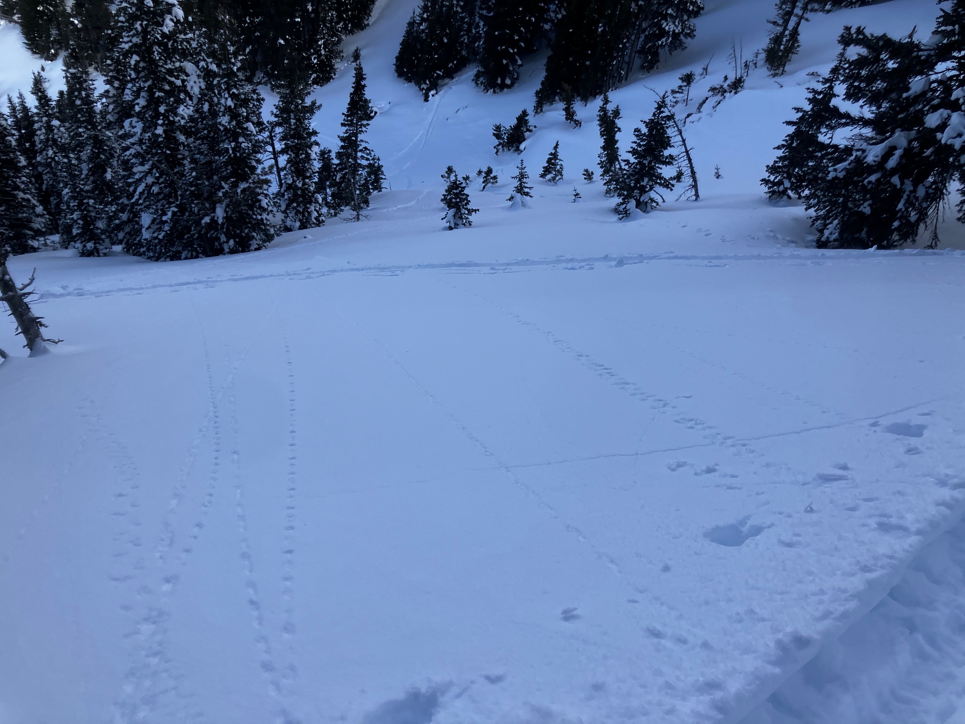
Went to look at a skier-triggered avalanche that occurred on March 10. The group had triggered a couple of collapses and was working their way toward lower-angle terrain when they heard another collapse and saw the 33-degree meadow begin to slide below them. We did not experience any collapsing or cracking on our tour, but we did observe a prominent layer of surface hoar buried 20" deep in each of the three N-NW facing pits we dug, with ECTP21-25, and one ECTN21 results when we performed tests. The January near-surface facet layer was also present (30" deep), but where it exists, the SH will likely avalanche first. The concern is that the slide could step down and become larger.
The avalanche we investigated was an R1-D1-ASu remote-SS that failed on surface hoar. Dimensions: 60' wide x 20" deep x 30' vertical.
This was the first persistent slab avalanche in the Bridger Range since March 5 (D1.5-2 avalanche details), one on February 16 before that (D1 avalanche details), with the last big persistent slab avalanche occurring on December 7, on Saddle Peak (D3 avalanche details).
Weather
- Cloud Cover
- overcast
- Wind Loading
- light
- Snow Avail For Transport
- moderate amounts
Avalanche
Avalanche already reported and attached to a different observation - See link in observation.