
Quick report
We did not see signs of instability in the new snow, like cracking, but there was a lot of new snow (1.5-2 feet since 12/18) with various density changes within the snow from the last few days. We did not see large avalanches, and only one small wind slab avalanche.
Despite minimal obvious signs of instability, we felt an avalanche in the new snow would have been likely on steep slopes, and the snowpack strucutre indicated you could trigger a deeper, larger peristent slab. Due to the heavy recent snowfall and poor snowpack structure we avoided steep slopes today, and will wait to see how the snowpack reacts to the recent/current loading.
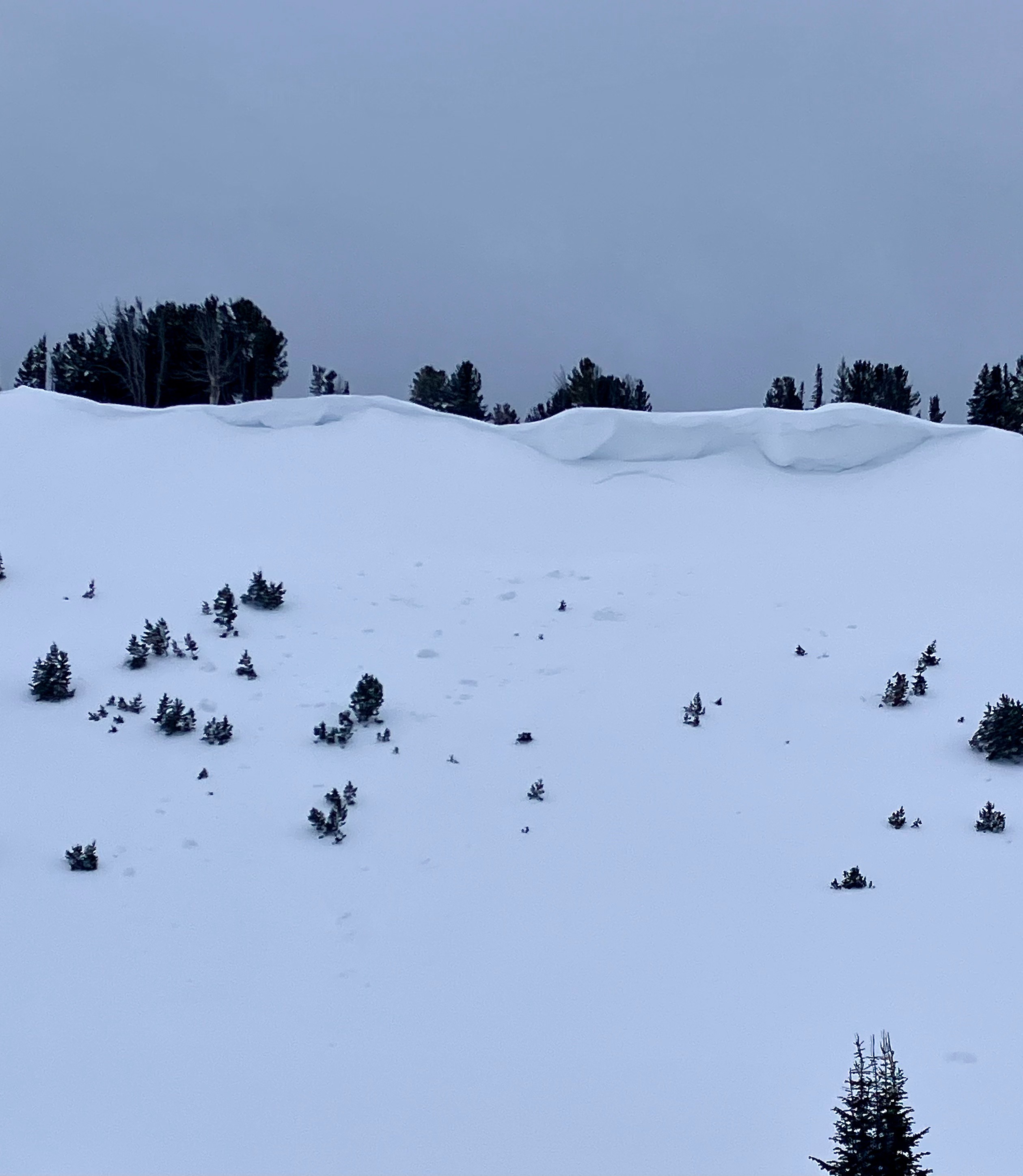
We saw one small wind slab (R1-D1) and cornice fall debris below the huge cornices in 2nd Yellow Mule.Weather
- Air Temp
- 30
- Cloud Cover
- overcast
- Wind Loading
- moderate
- Recent Snowfall
- A lot
- Snow Avail For Transport
- moderate amounts
Rain was falling in the canyon on the drive. Precip turned to wet snow shortly up the trail then turned to heavy snowfall ~9000', 9-10 miles in. Snowfall stopped around noon and visibility was good under overcast skies.
Snowpack
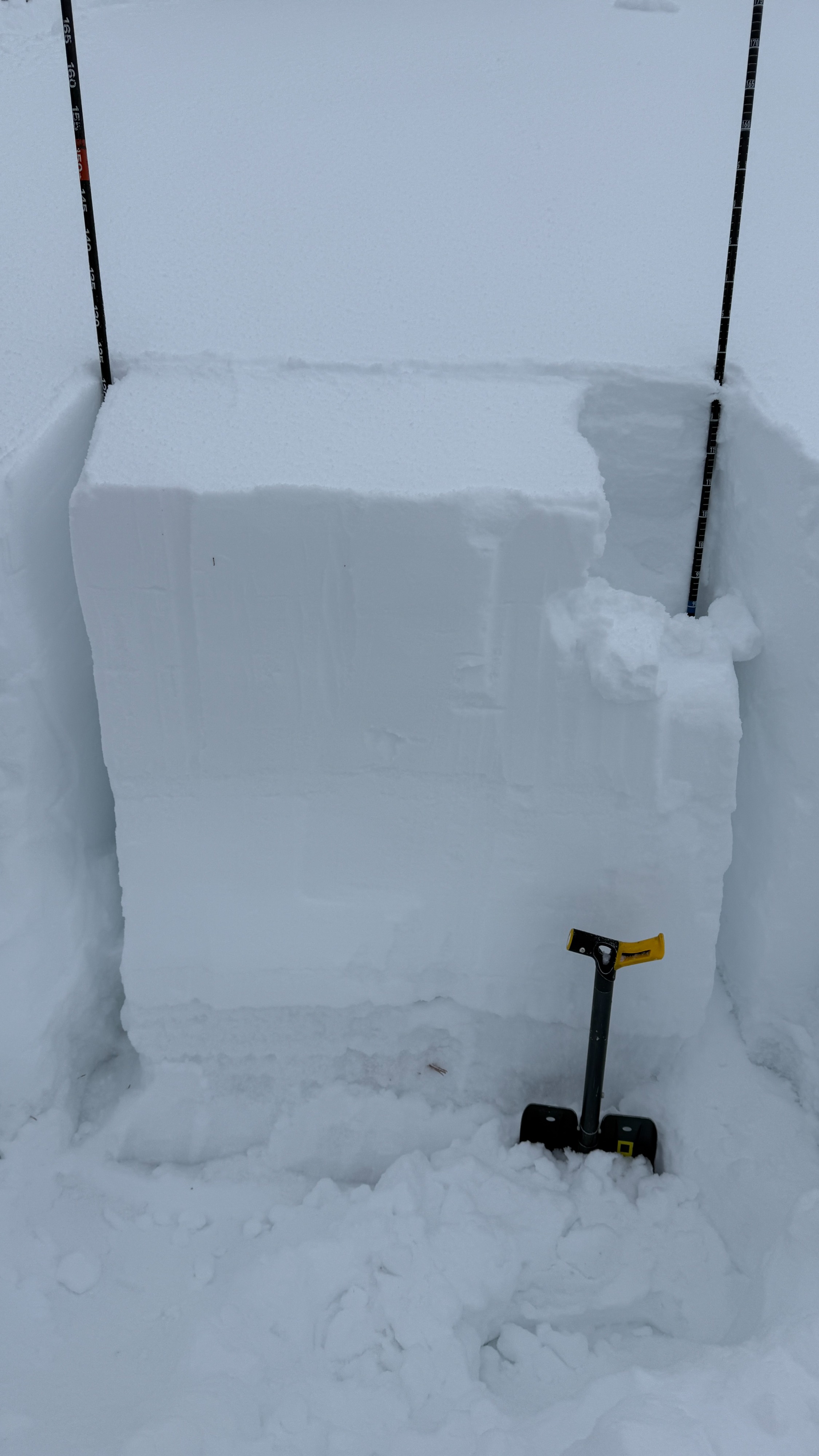
We measured 3.1"-3.9" of SWE in the 1.5-2' of snow that fell since Thursday 12/18. we dug pits in First and Second Yellow Mule and Bear Crk. (N-NE aspects, 9300-9400'). Snow depths were 120 to 150 cm (4-5 feet) in our pits, and overall an average of 2.5 to 5 feet deep. The facets at the ground were soft (F+) and 2-4 mm in size. We had ECTP 20 and ECTP 27 on the facets (3-4 feet deep) in two pits and ECTX in the other.
Avalanche
- Size
- D1 R1
- Type
- SS
- Aspect
- N
- Trigger
- NC
- Elevation
- 9350 ft