
Sonora Pass
Quick report
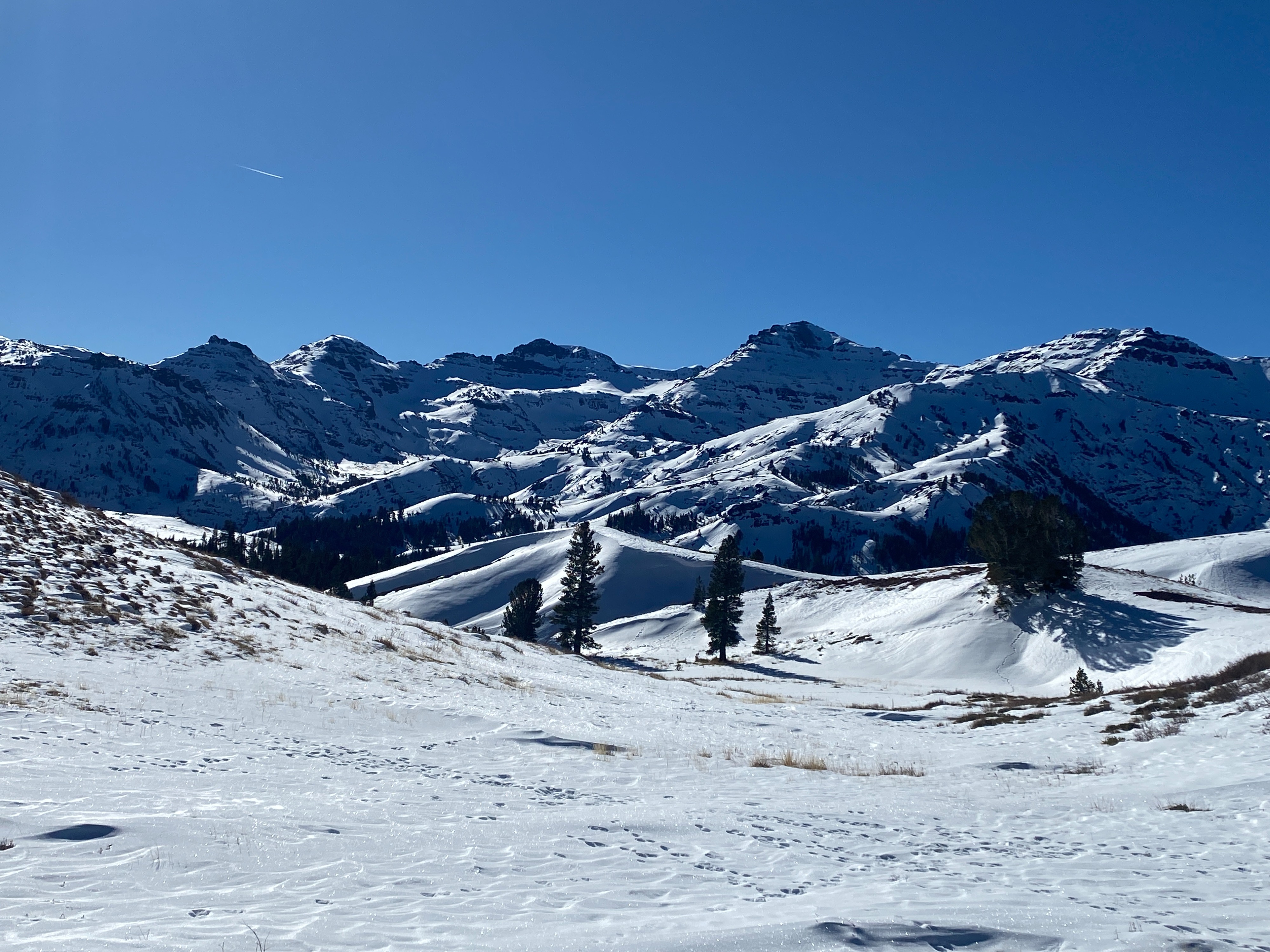
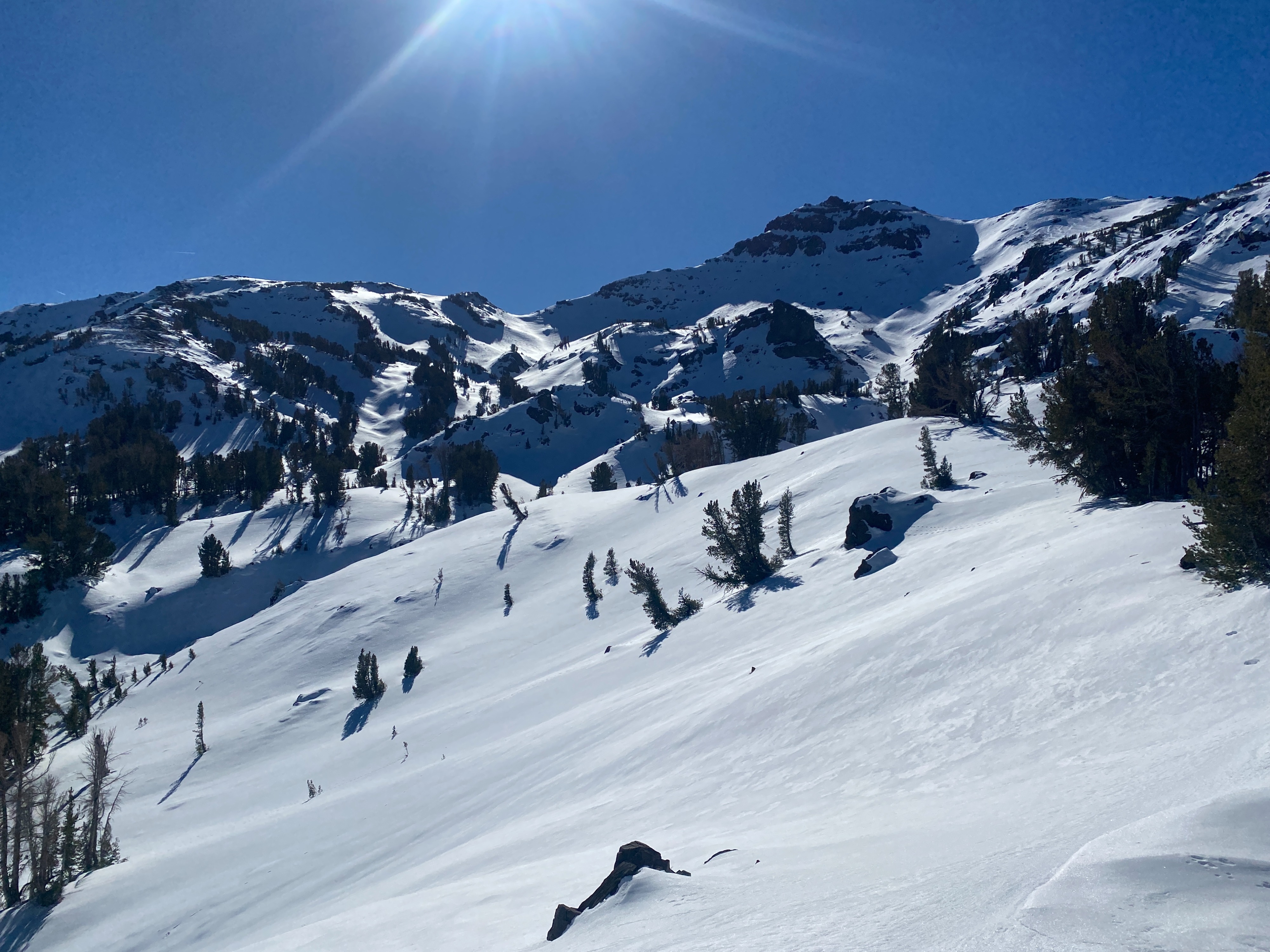
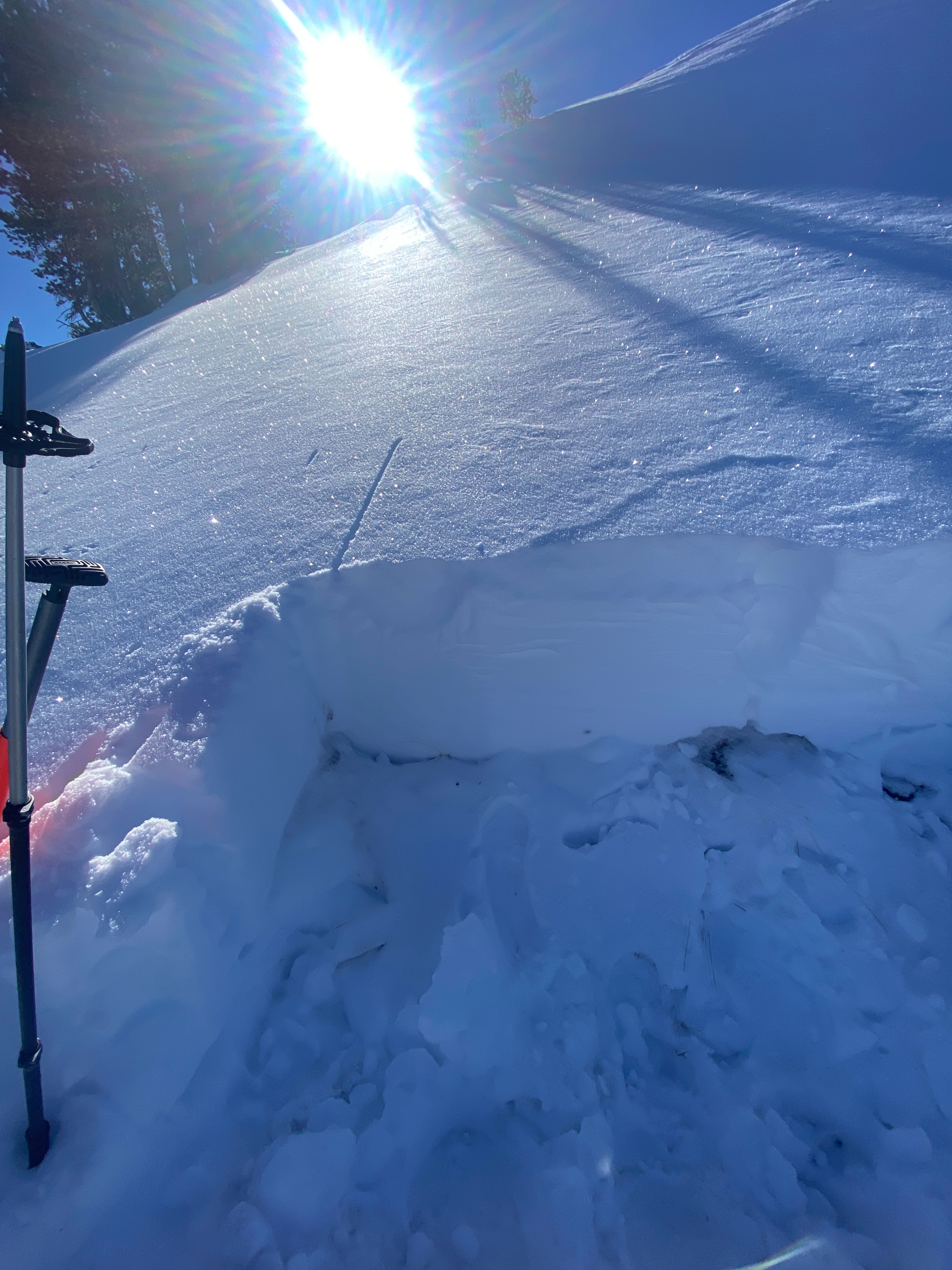
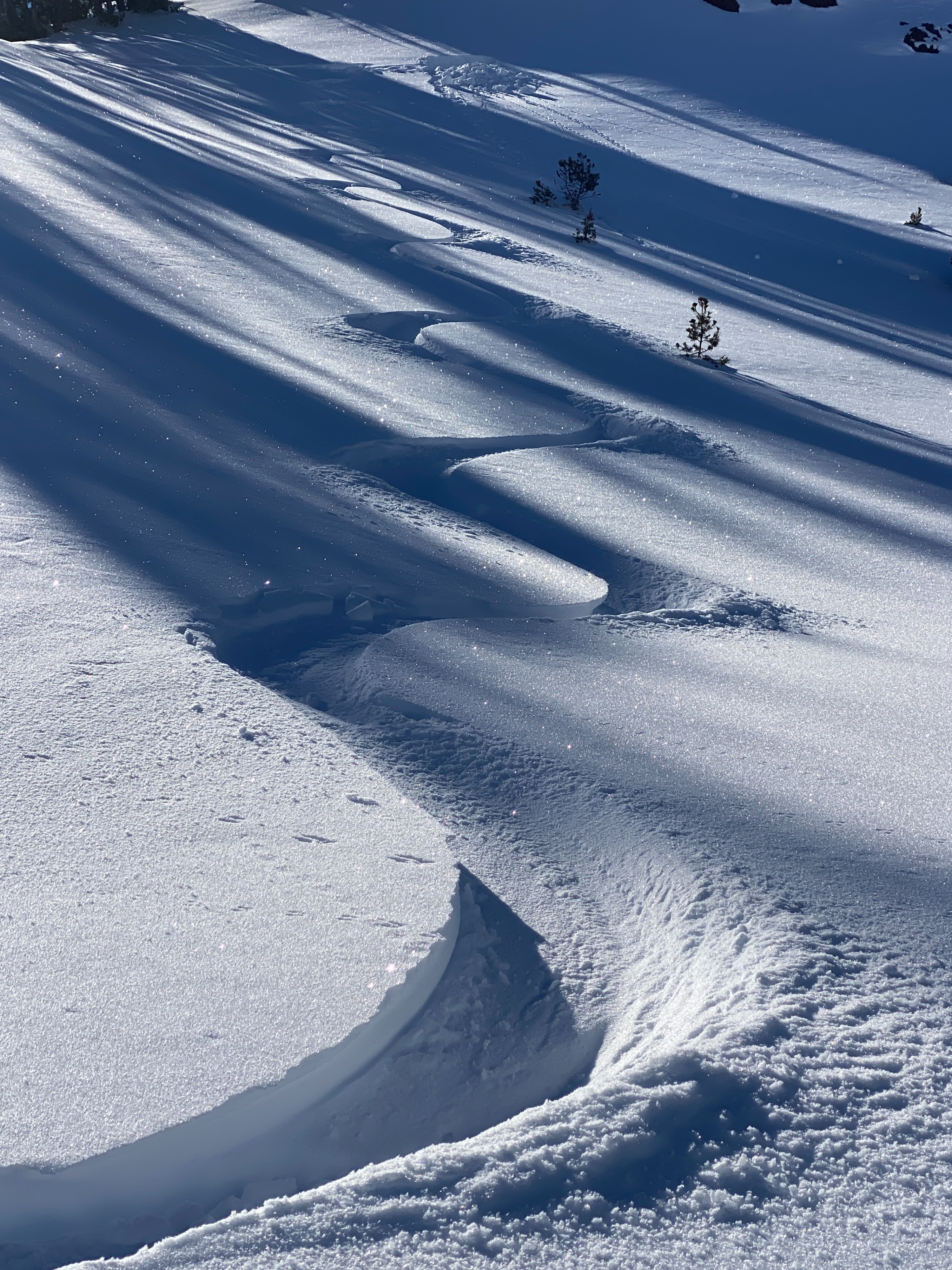
Today, I traveled by snowmobile up HWY 108. I parked at the 'Peoples Gate' at the bottom, rode up to Sonora Pass, and went for a short tour. Temperatures rose to well above freezing with a high of 42 degrees around 9600 feet. Despite the warm temperatures, I found mostly unconsolidated snow on the way up and down. Hand pits and probing confirmed an overall shallow snowpack. Early season conditions exist and rocks, stumps, shrubs, logs, etc were everywhere. Cold clear nights have kept the snow surface cool, especially in the shade. I could drag a hand and push a pole basket into the snow with little resistance today. Below this loose, sugary surface snow, the middle part of the snowpack was consolidated to the bottom, where a layer of loose weak sugary snow was present.
Our field season has recently started up! The Bridgeport Avalanche Center's forecasters and observers will be out in the snow, giving weekly reports on snowpack conditions. The storms that fell over Thanksgiving week gave us most of our snowpack to date. For that, I have a lot to be thankful for. With a long season ahead, consider conservative terrain choices as low snow conditions pose a significant risk to boards, bodies, and machine parts traveling at high speeds.
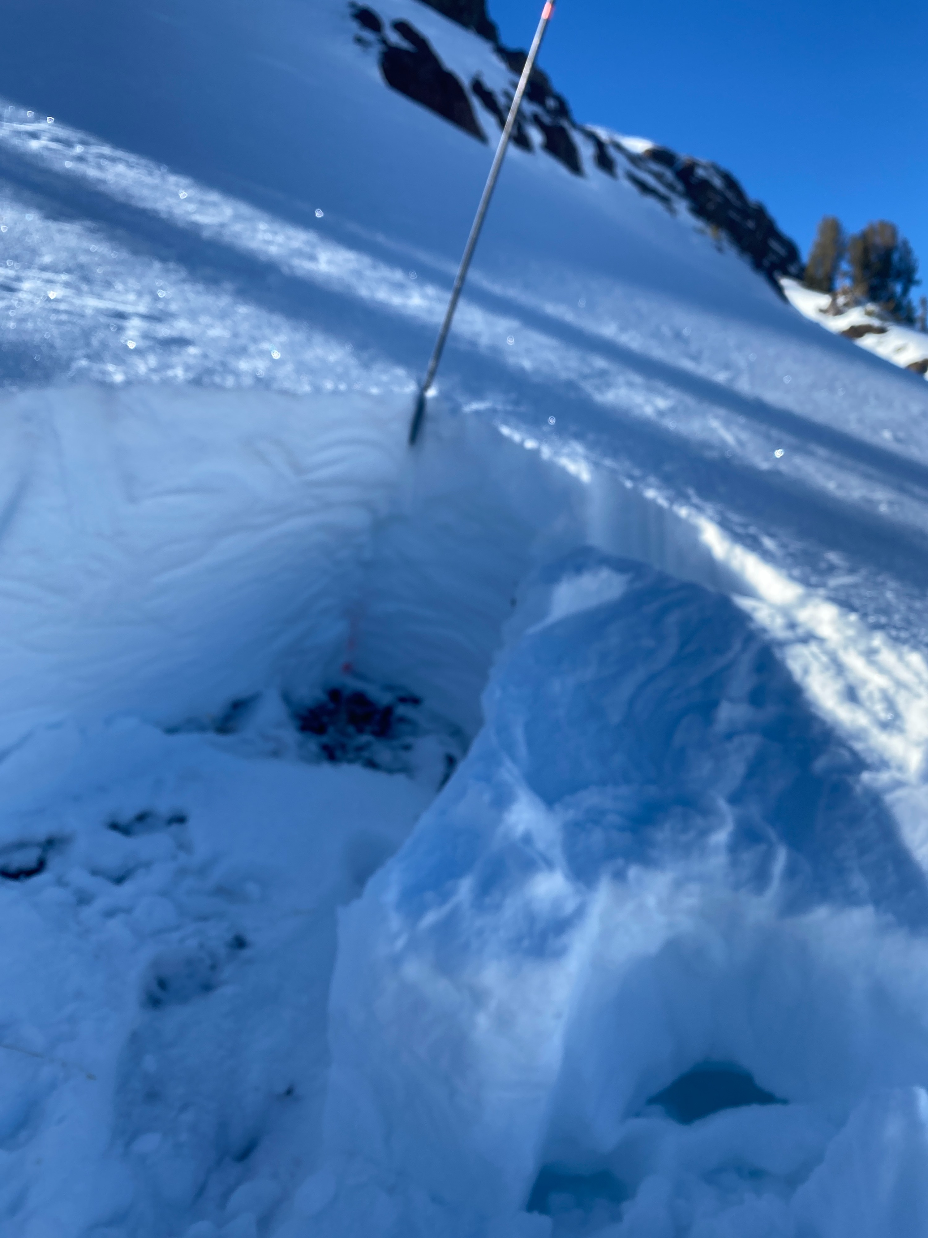
Snow at the bottom of the pack is weak.Weather
- Air Temp
- 42
- Cloud Cover
- clear
- Wind Loading
- none
- Snow Avail For Transport
- small smounts
Clear skies with little to no wind and above-freezing temperatures
Snowpack
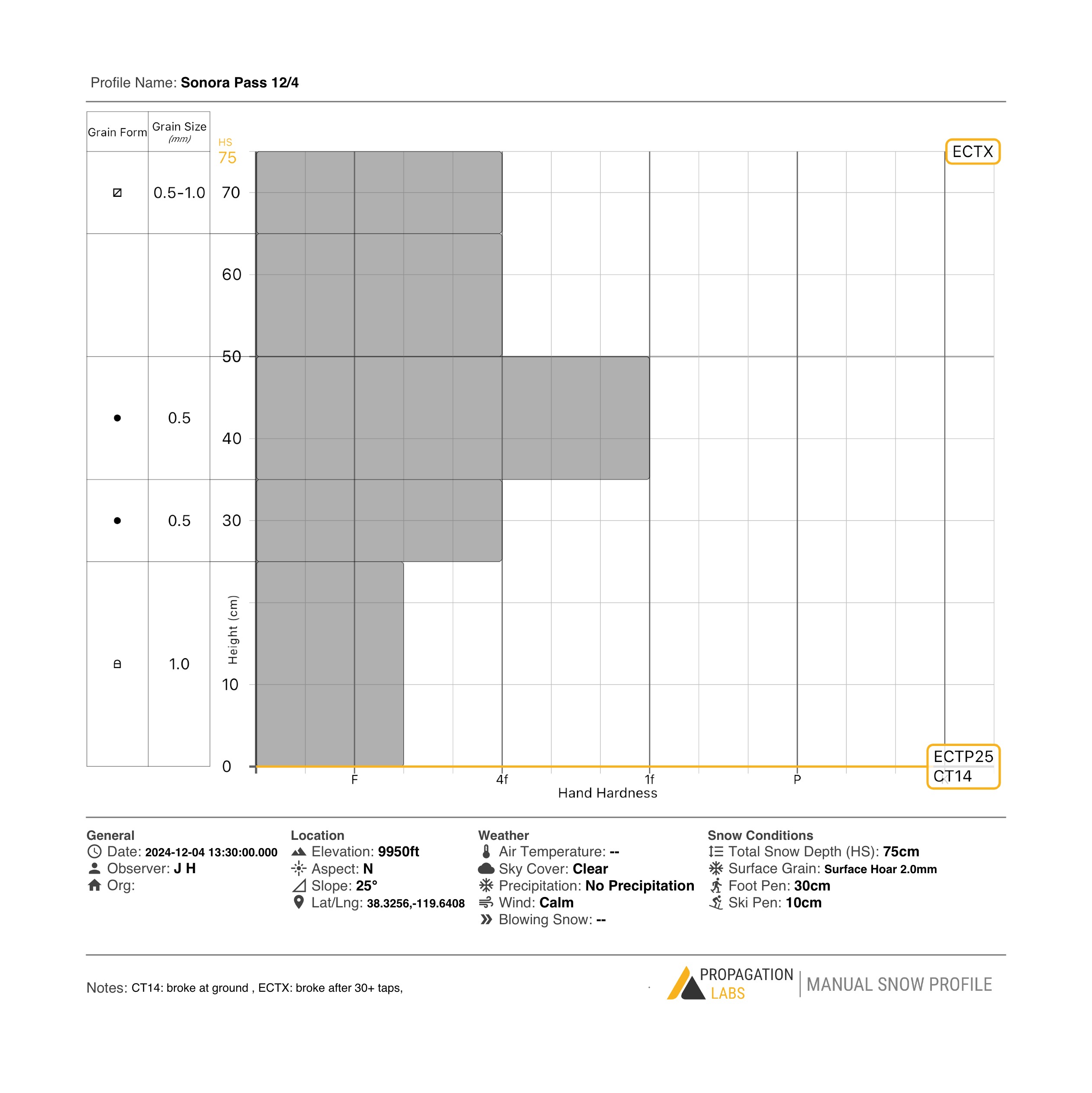
Generally, the snow conditions in and around Sonora Pass are shallow and typical for the start of the season today. On average, 40 -60 cm of snow with localized areas of drifted-in, deeper snow patches were present. Northern (shaded) aspects held cold unconsolidated snow, while southern (sunny) aspects had less snow and a surface crust in spots. In and around the snow pit area, the snow depth was around 75-80 cm. The bottom of the pack had weak, sugary snow with stronger snow above it. Stability tests (Compression and Extended Column Tests) produced fractures in this basal layer (see snowpit profile notes) and results were hard to produce (Hard, taps from the elbow). The weather throughout this week is forecasted as cold and clear nights with sunny days, which should keep the near-surface facets (loose, sugary snow) present in the top of the pack. This is not problematic right now as it is on the surface, and we will be monitoring this upper part of the snowpack, especially when we get new snow (possibly this weekend) Big picture, I found strong snow over weak snow, which is one of the ingredients in the recipe for a slab avalanche.