
Quick report
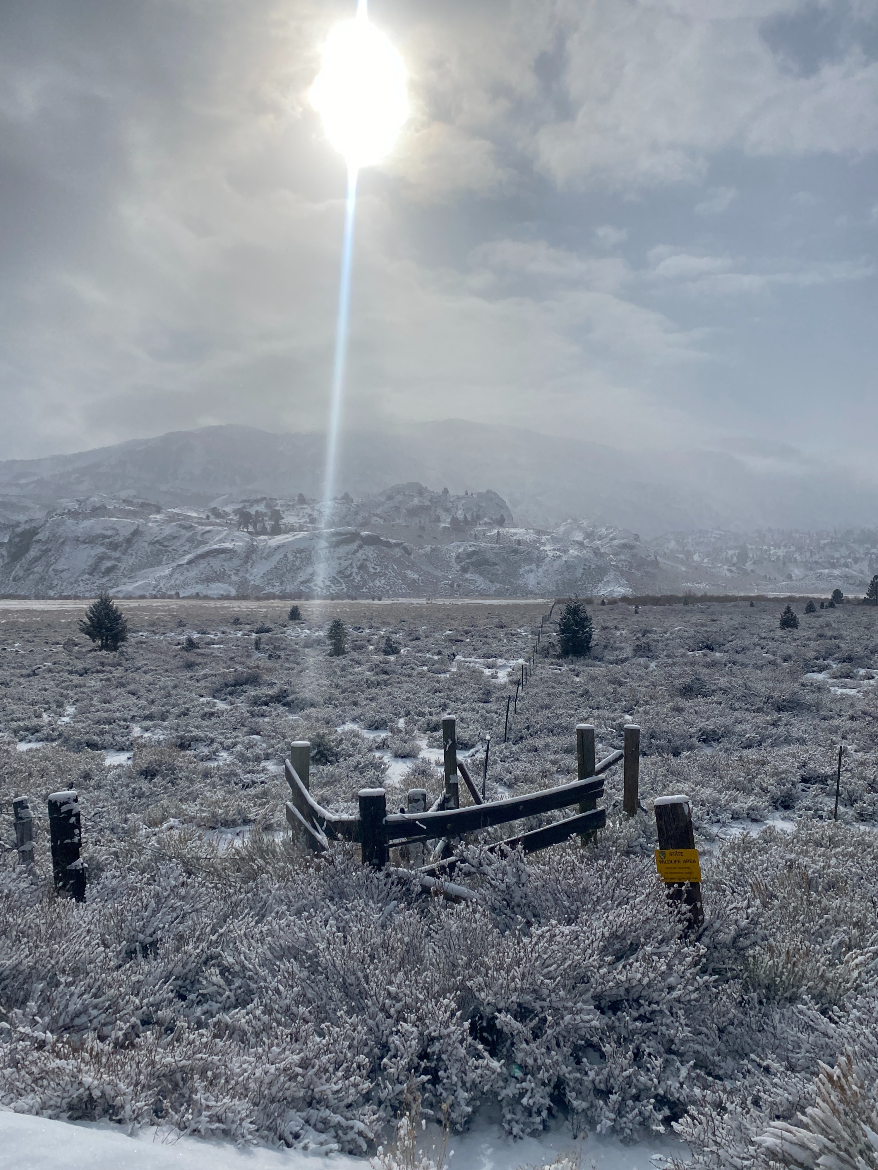
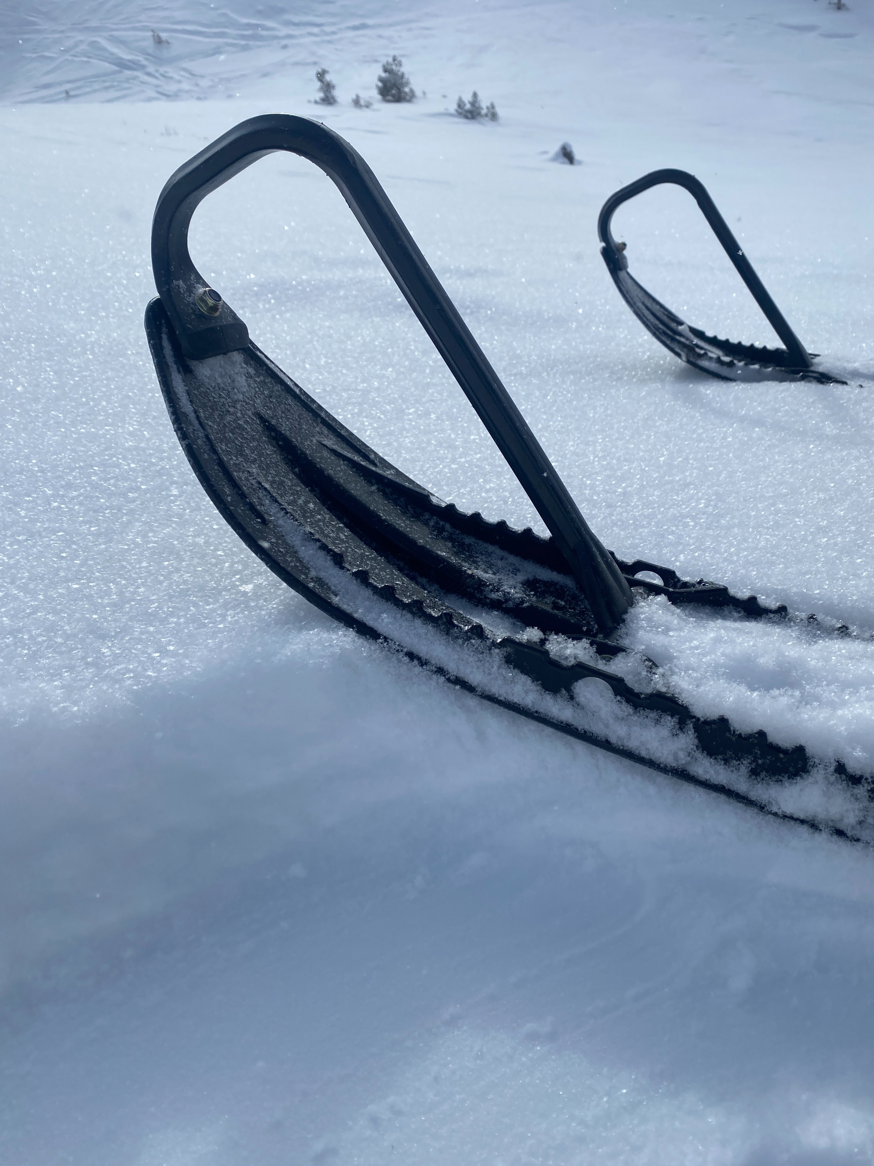
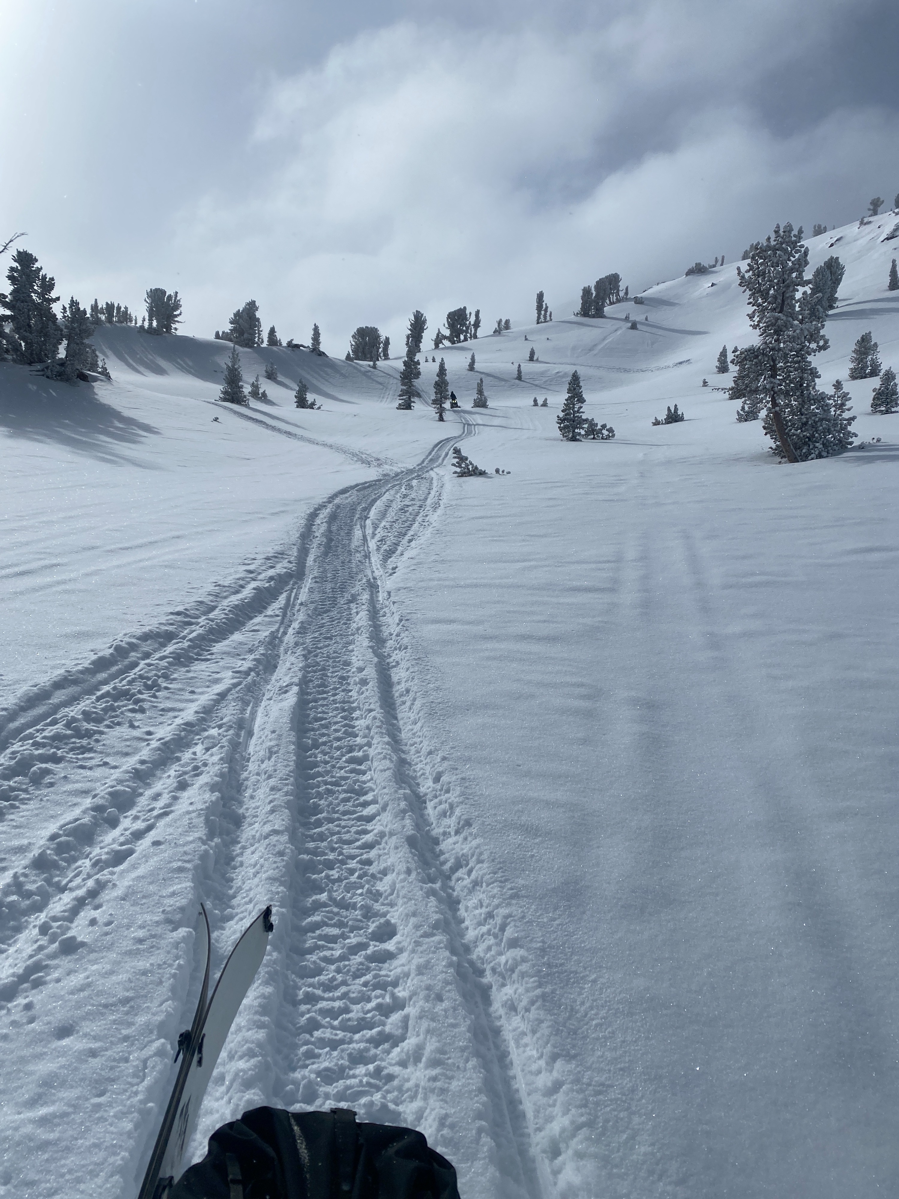
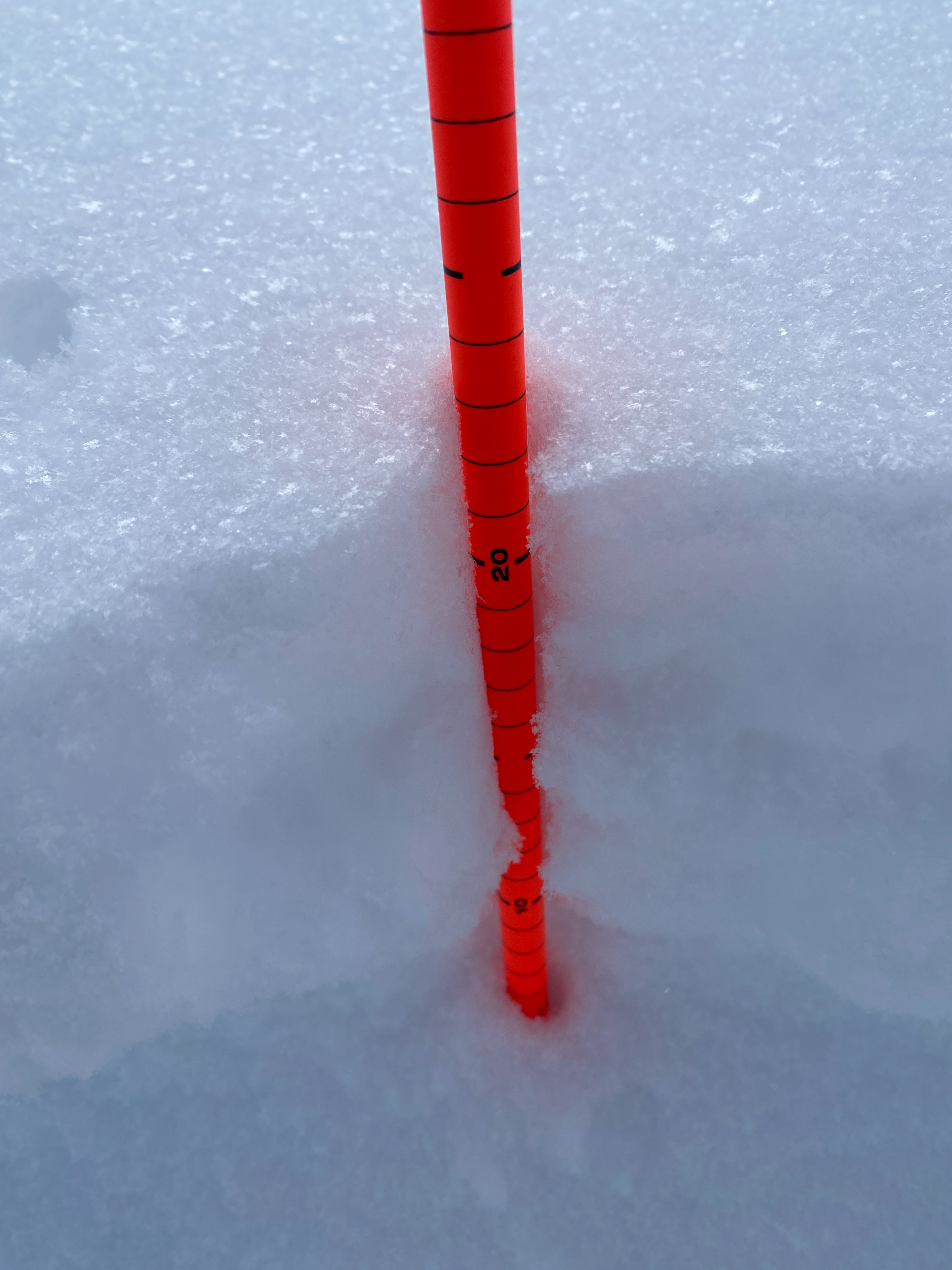
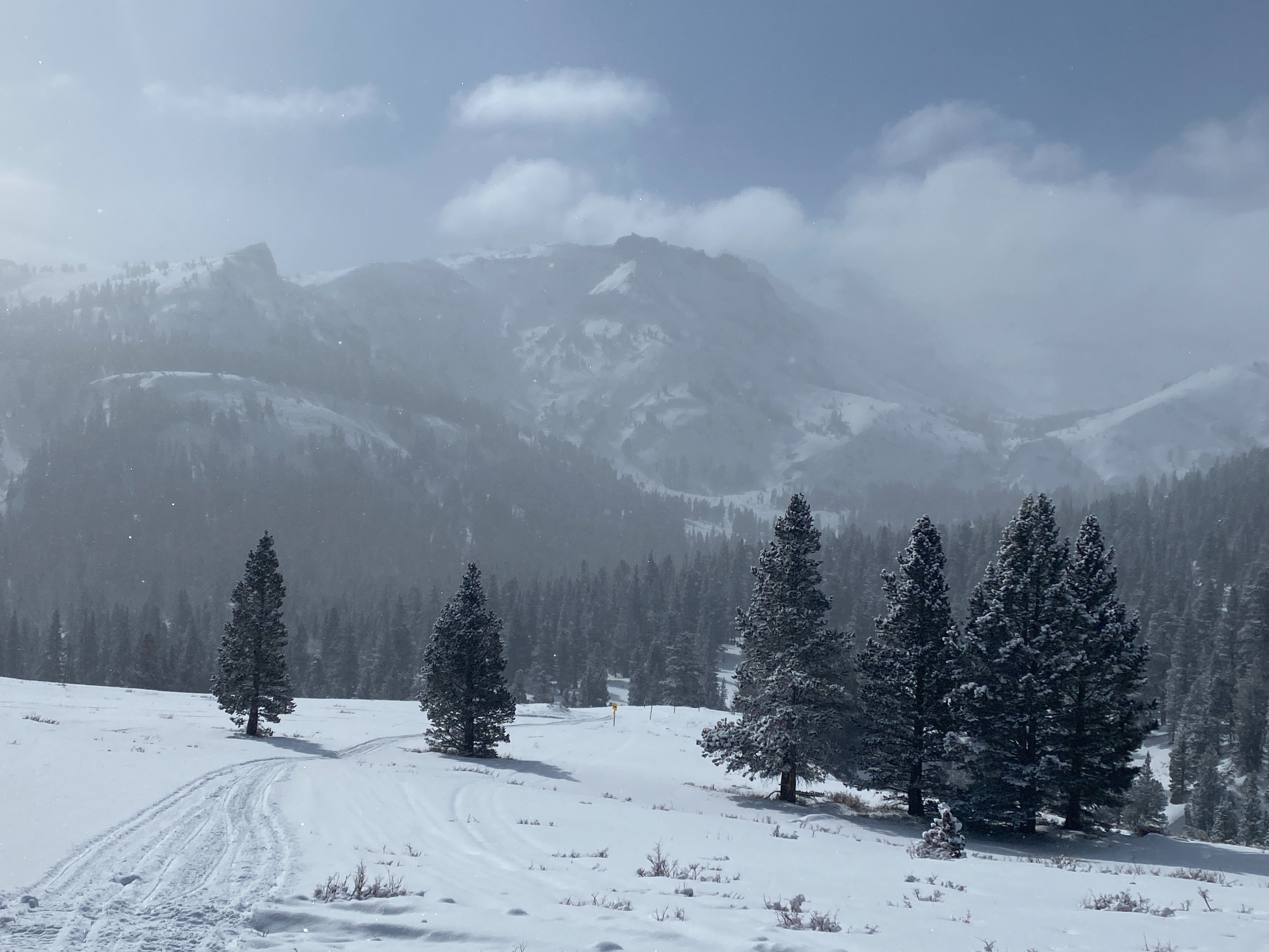
We rode the sleds around Leavitt Lake to Sonora Pass, stopping in to check on some sheltered locations along the way. Overall the BWRA did not receive much new snow. I was hoping that the SNOTEL sensors were wrong, but they look representative. South of Conway summit and the Virginia Lakes zone, several inches of new snow fell overnight and Mammoth looked like they picked up 4-6" overnight, with more snow forecasted today.
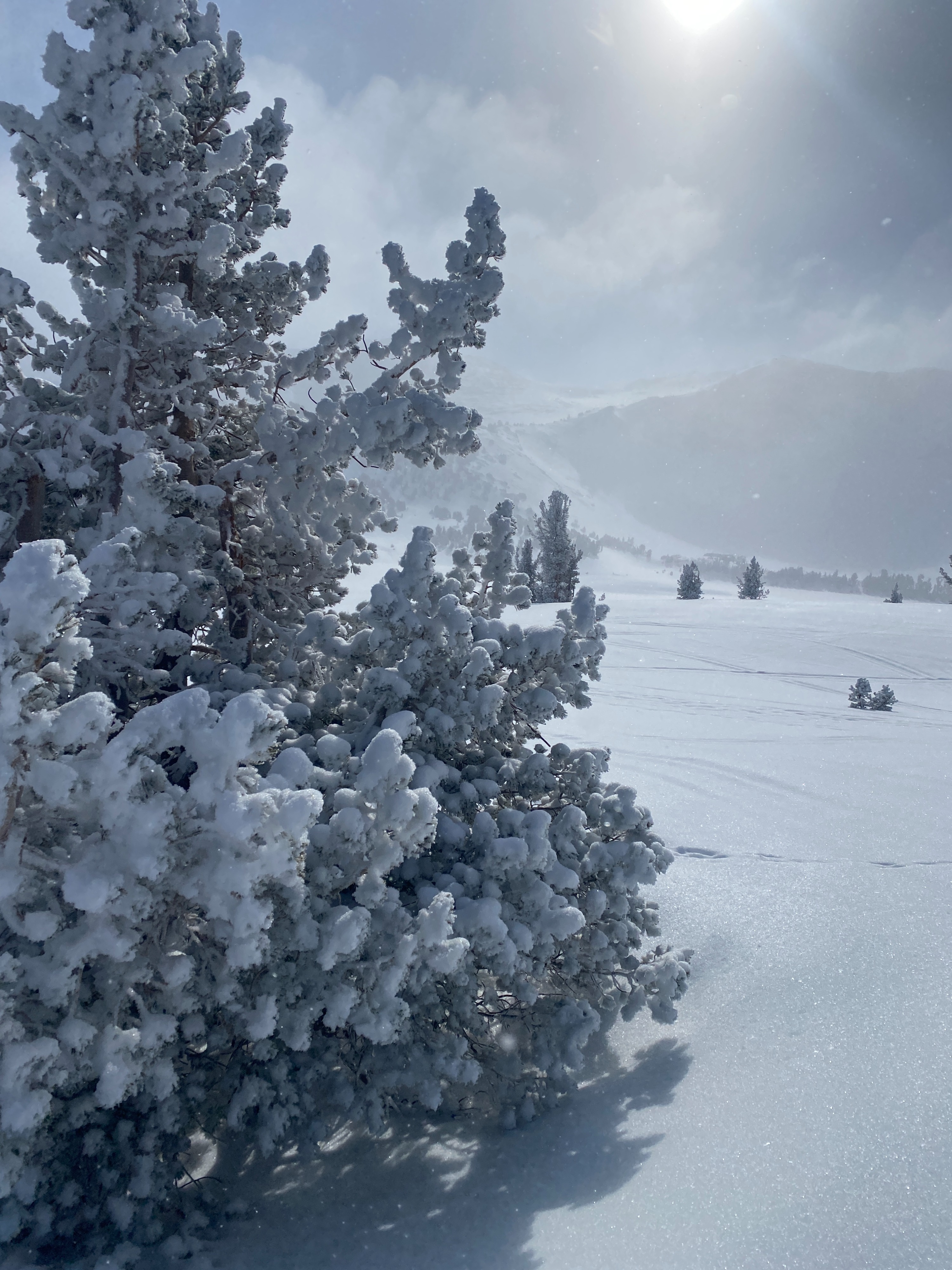
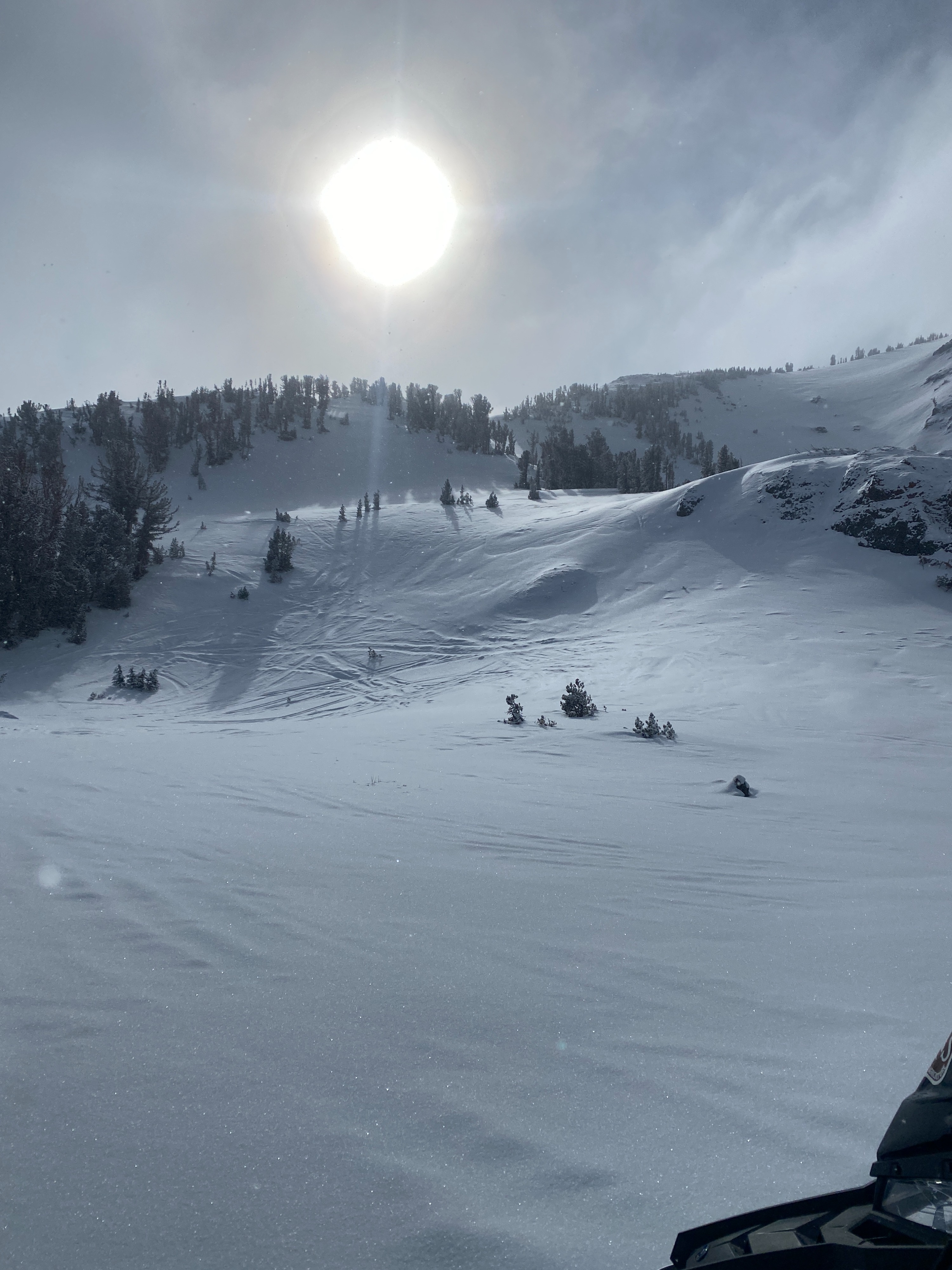
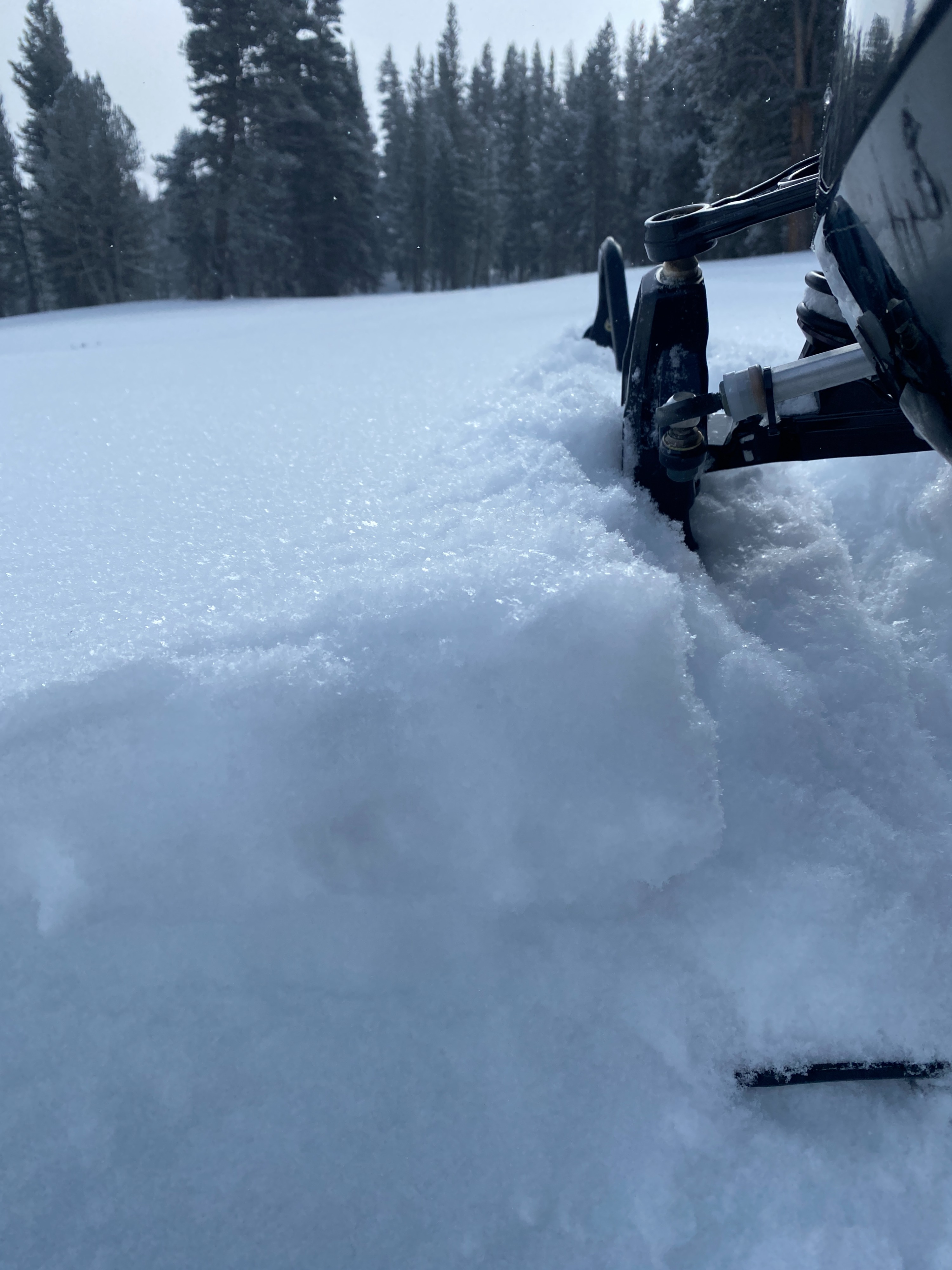
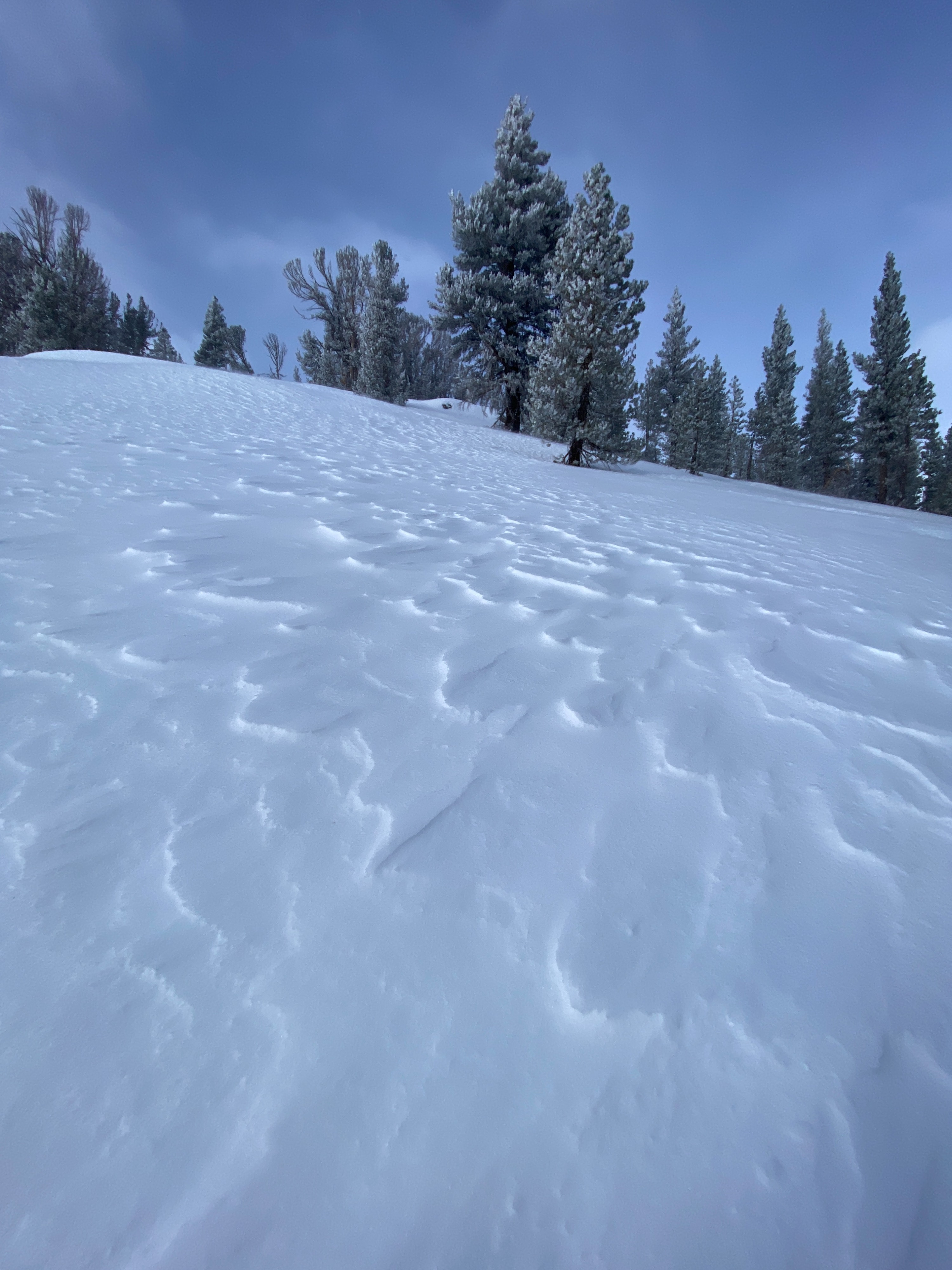
In the treeline terrain around Leavitt Lake, we did not encounter much wind effect on the snow. The snow was unconsolidated and unaffected by the wind. Sonora Pass held a different story, with more wind effect, the East wind was already blowing. There was trace to light amounts of snow being transported to the west.
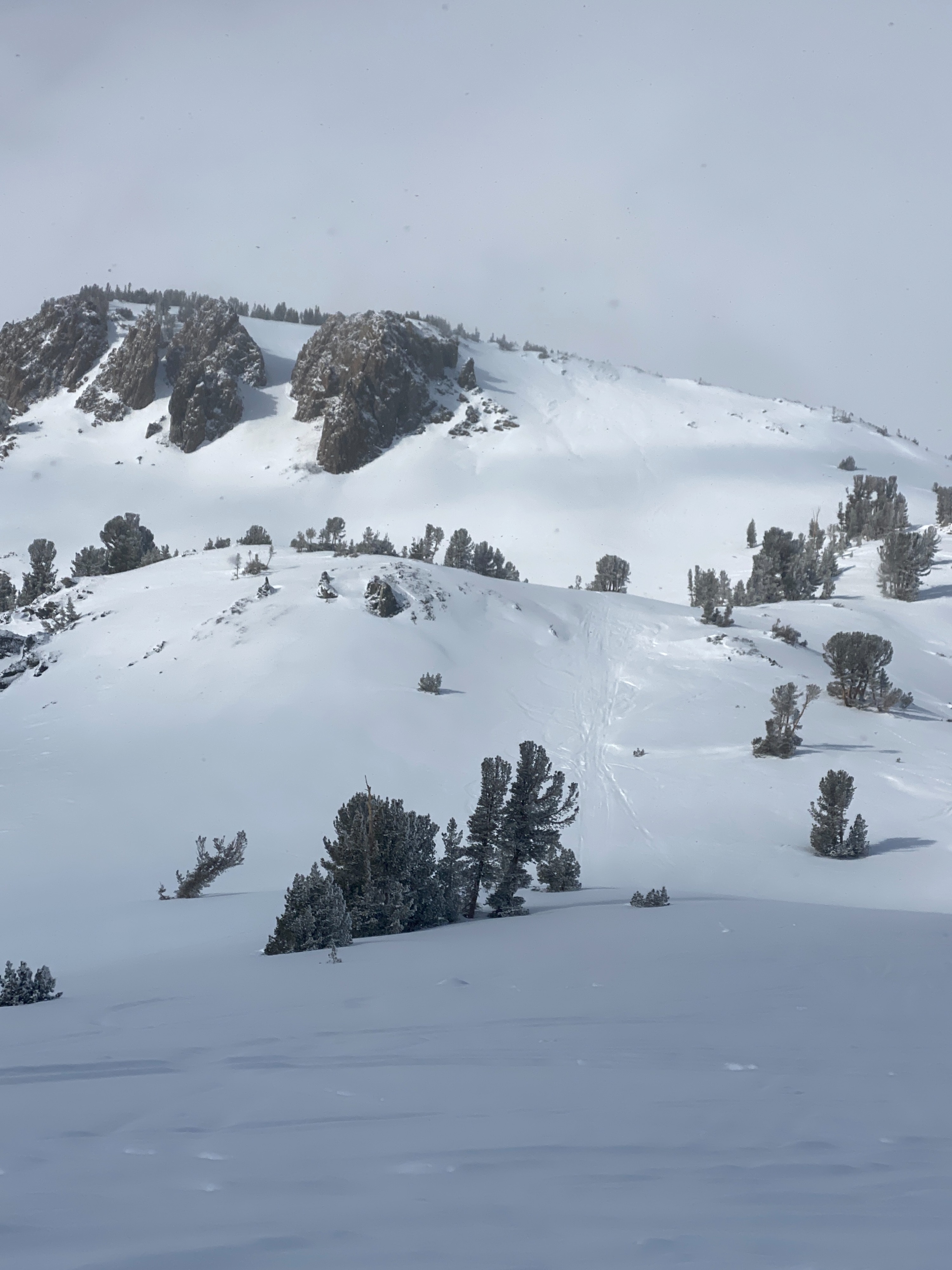
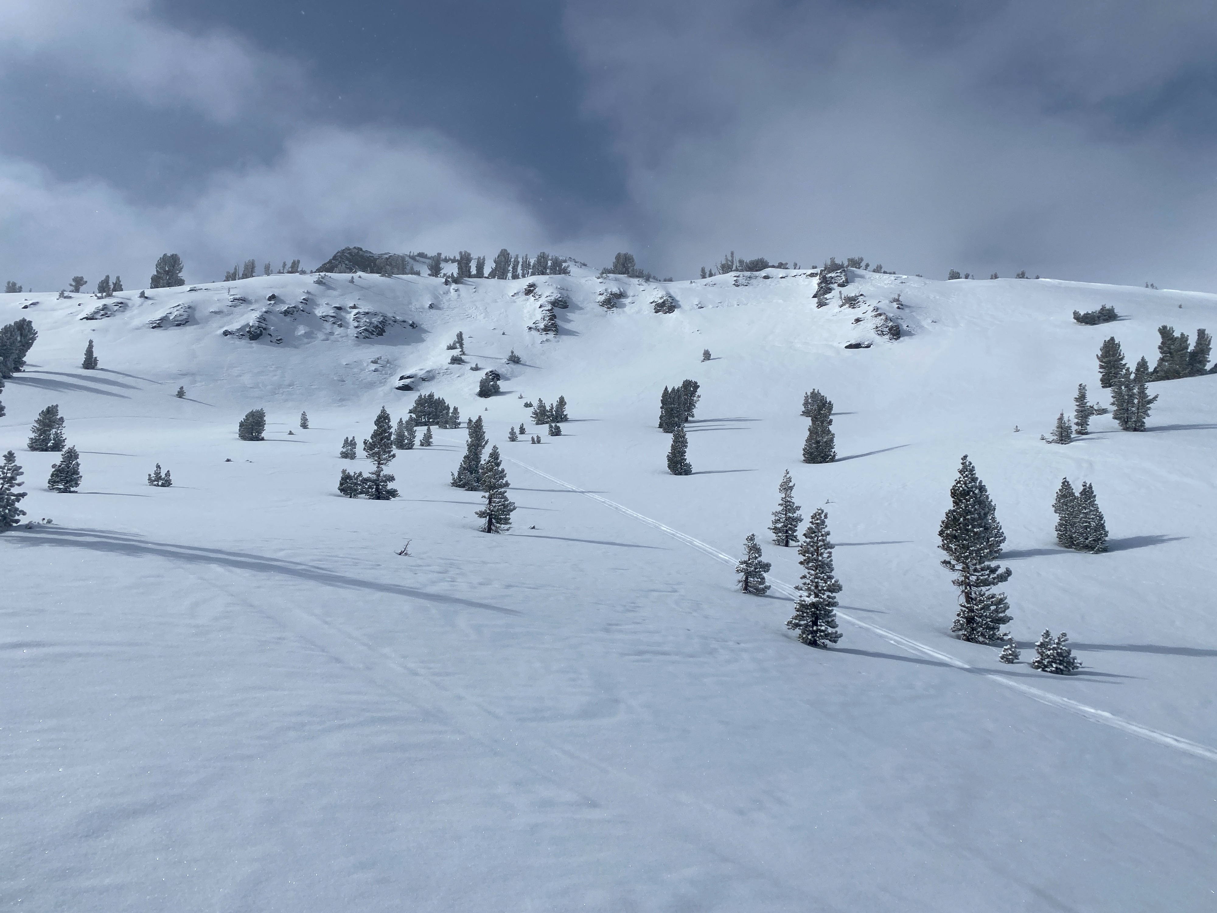
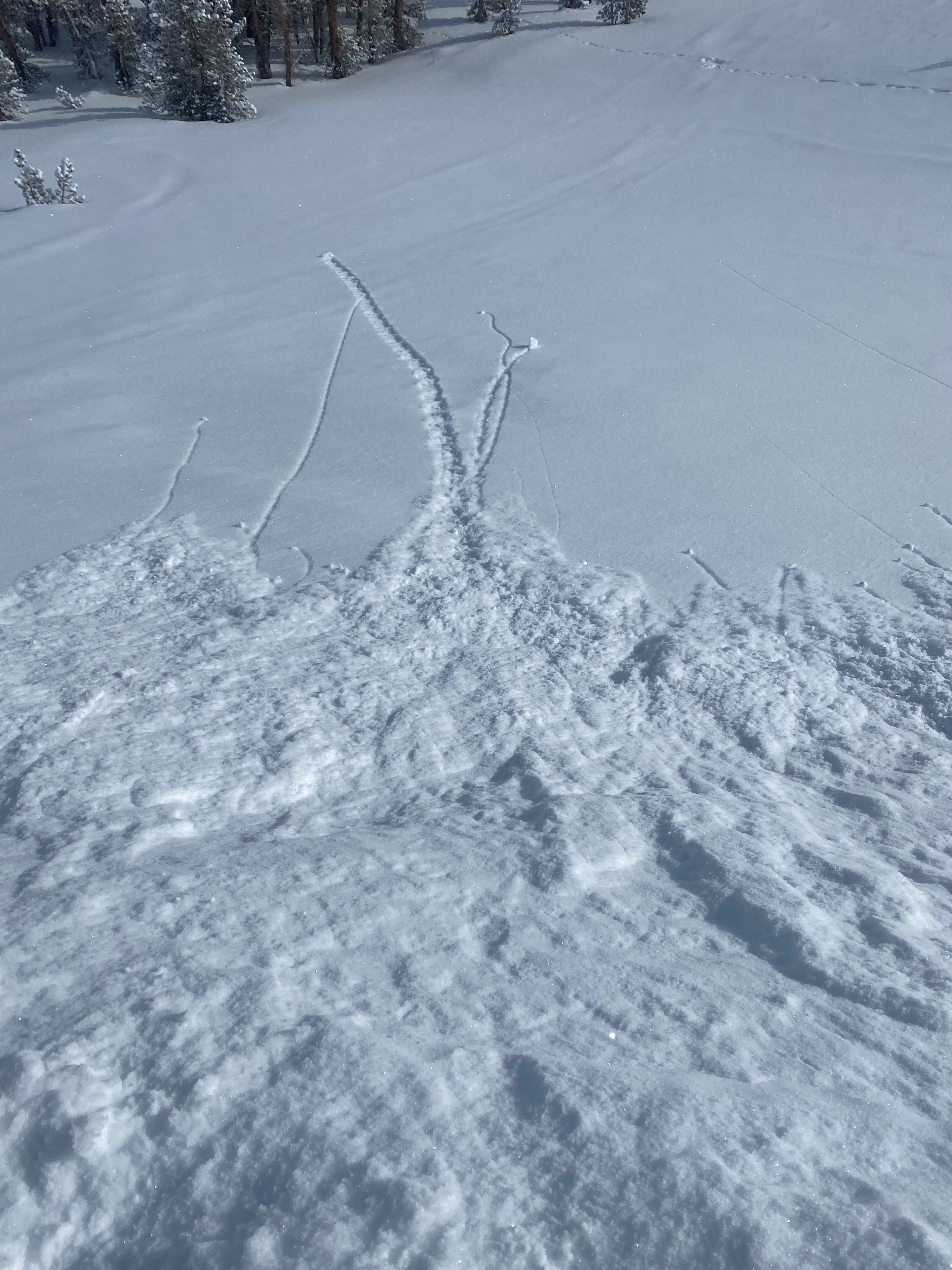
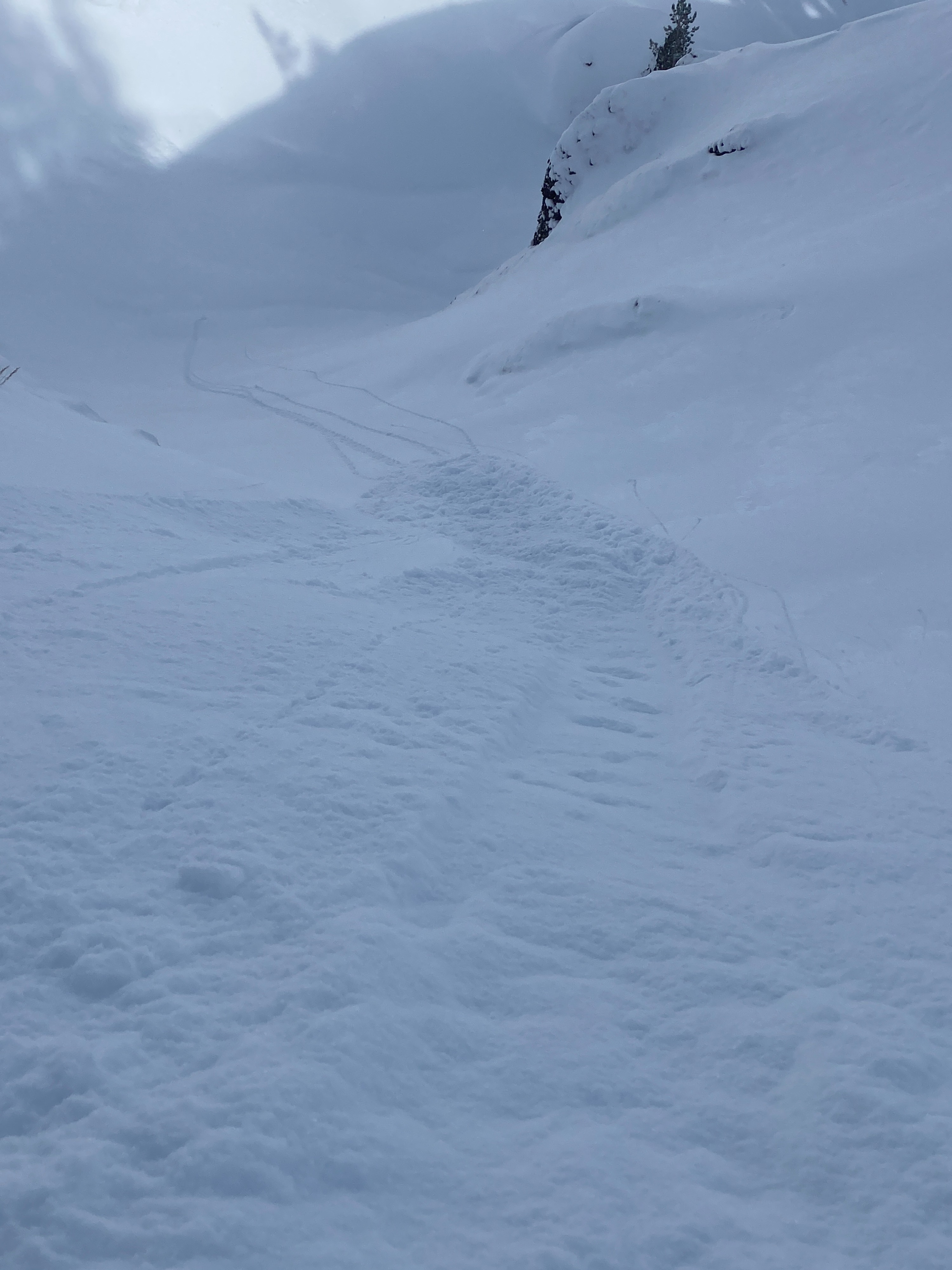
We stomped on some steeper slopes to see if we could get some sluffs going from the dry loose snow. We did get some sluffing, but it was minor. (see photos) If we had picked up more snow, this could be an issue.
The sun was in and out on our tour today. Snow was lightly falling and was still in the trees in most areas, The wind was picking up when we left. Our Leavitt Lake sensor was reading wind in the teens from the North today.
Weather
- Air Temp
- 10
- Cloud Cover
- broken
- Wind Loading
- light
- Rain Elevation
- 5000
- Recent Snowfall
- trace amounts
- Snow Avail For Transport
- small smounts
Cold temperatures, blowing snow from the E NE wind and light snow throughout the day.
Snowpack
Trace amounts to several inches of light, low-density snow on top of our well-known crust. Sheltered locations held near surface facets with no surface crust. In these areas, boot penetration was 30+cm. Dust on crust was the overall theme of the snowpack with a few isolated pocket in protected areas which held several inches of new snow. Loose Dry sluffs were small.