
Quick report
- Cracking
- specific
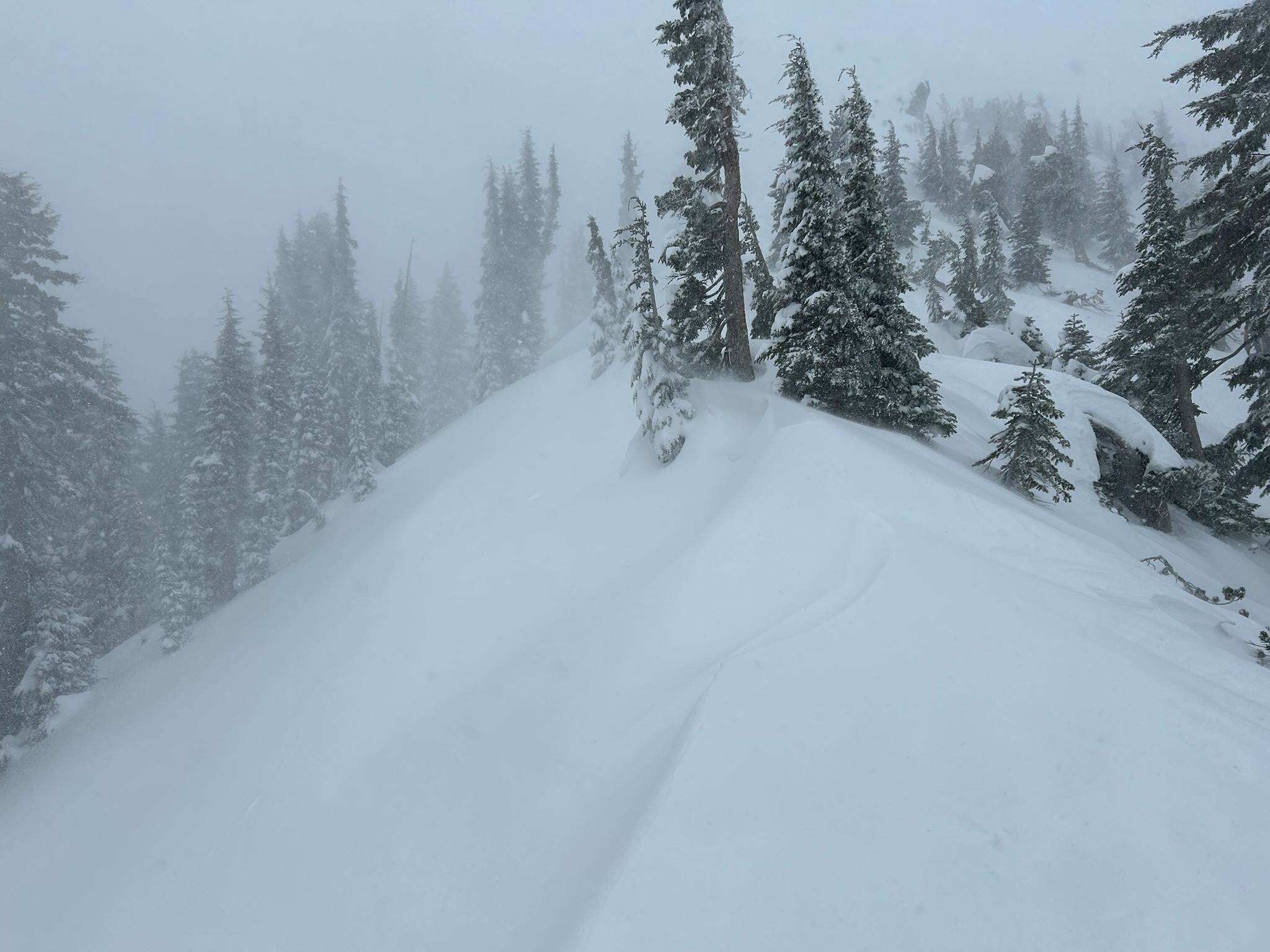
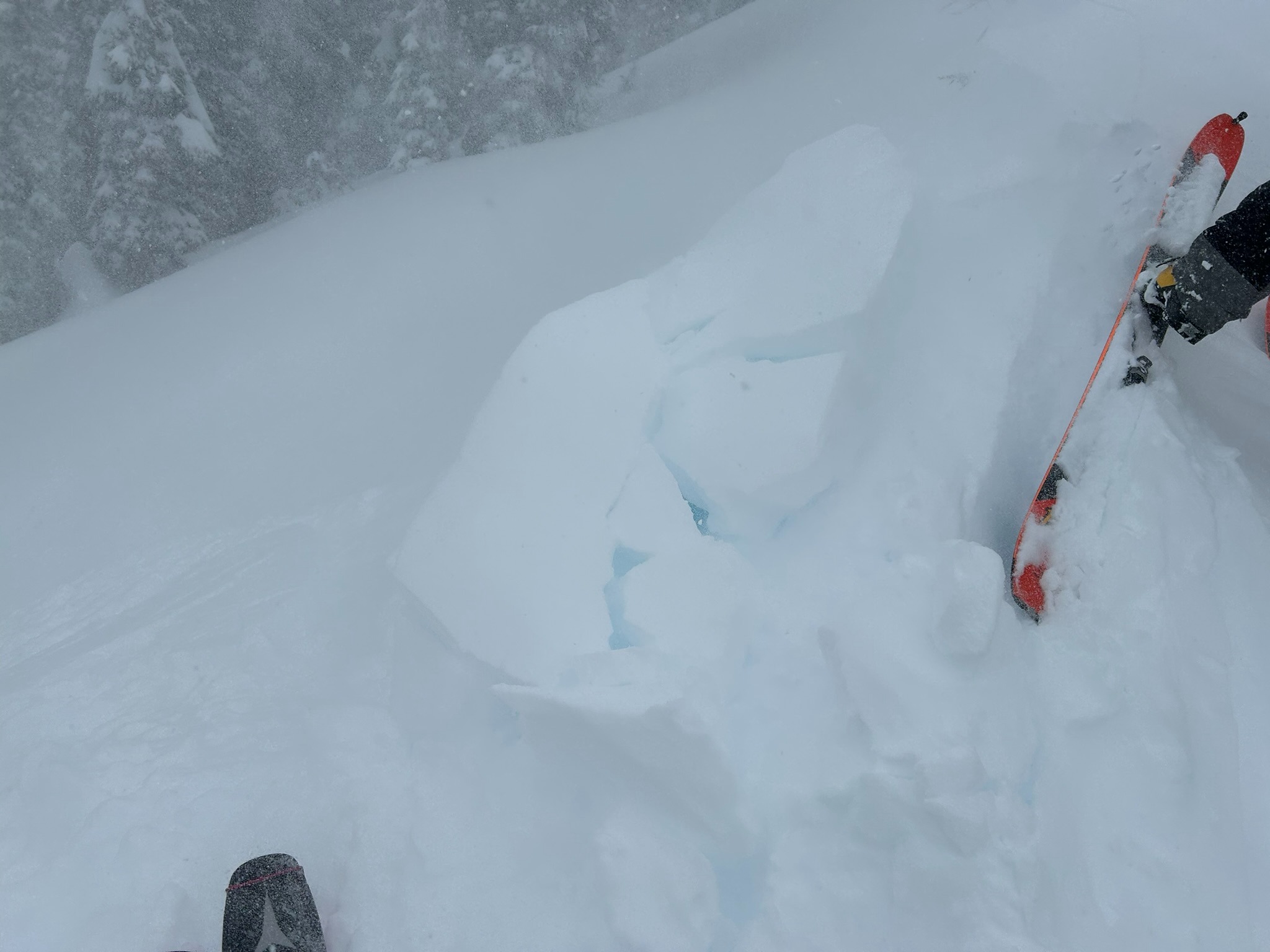
Intense northwest wind and heavy snowfall made for poor visibility in all elevation bands. We found a minimum of 6 inches of new snow in exposed terrain, and a foot or more of new snow in protected areas and on leeward slopes. In stability tests, the new snow is easily reactive at the old snow interface. With additional loading steps, the snowpack is moderately reactive below the December 30th crust layer, about 55cm below the surface. Near 7,800 feet on the Gray Butte ridgeline, we found shooting cracks and small wind drifts were moderately sensitive to the weight of a skier. A great deal of new, dry snow is available for transport, this with periods of snowfall until midnight will continue to build wind slabs on leeward southerly and easterly aspects.
We observed cracking 6-12 inches deep in the new snow running 4-6 feet long on wind loaded easterly aspects. No collapsing, no whoompfing, and no recent avalanches witnessed.Weather
- Air Temp
- 17
- Cloud Cover
- obscured
- Wind Loading
- intense
- Rain Elevation
- 2,000
- Recent Snowfall
- 15-25
- Snow Avail For Transport
- large amounts
Northwesterly winds are blowing strong and gusting extreme with gusts up to 70 mph on Gray Butte at noon today. Snow has been accumulating at the rate of 1 inches per hour since 5:00 AM. Air temperature has been in the upper teens to low twenties throughout the day, with wind chill measuring below zero.