
Eastern Forecast Area / Rainbow Mountain and Antelope Creek Lakes Area
Quick report
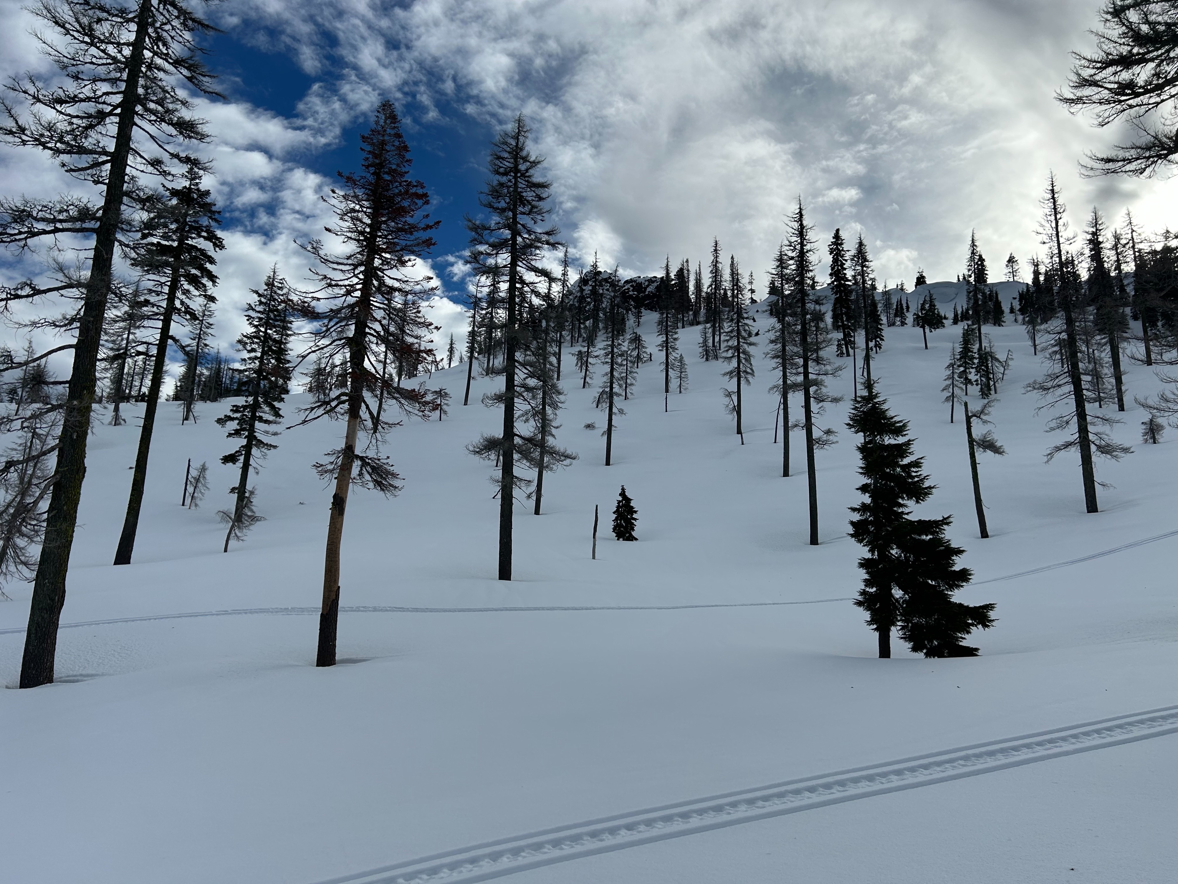
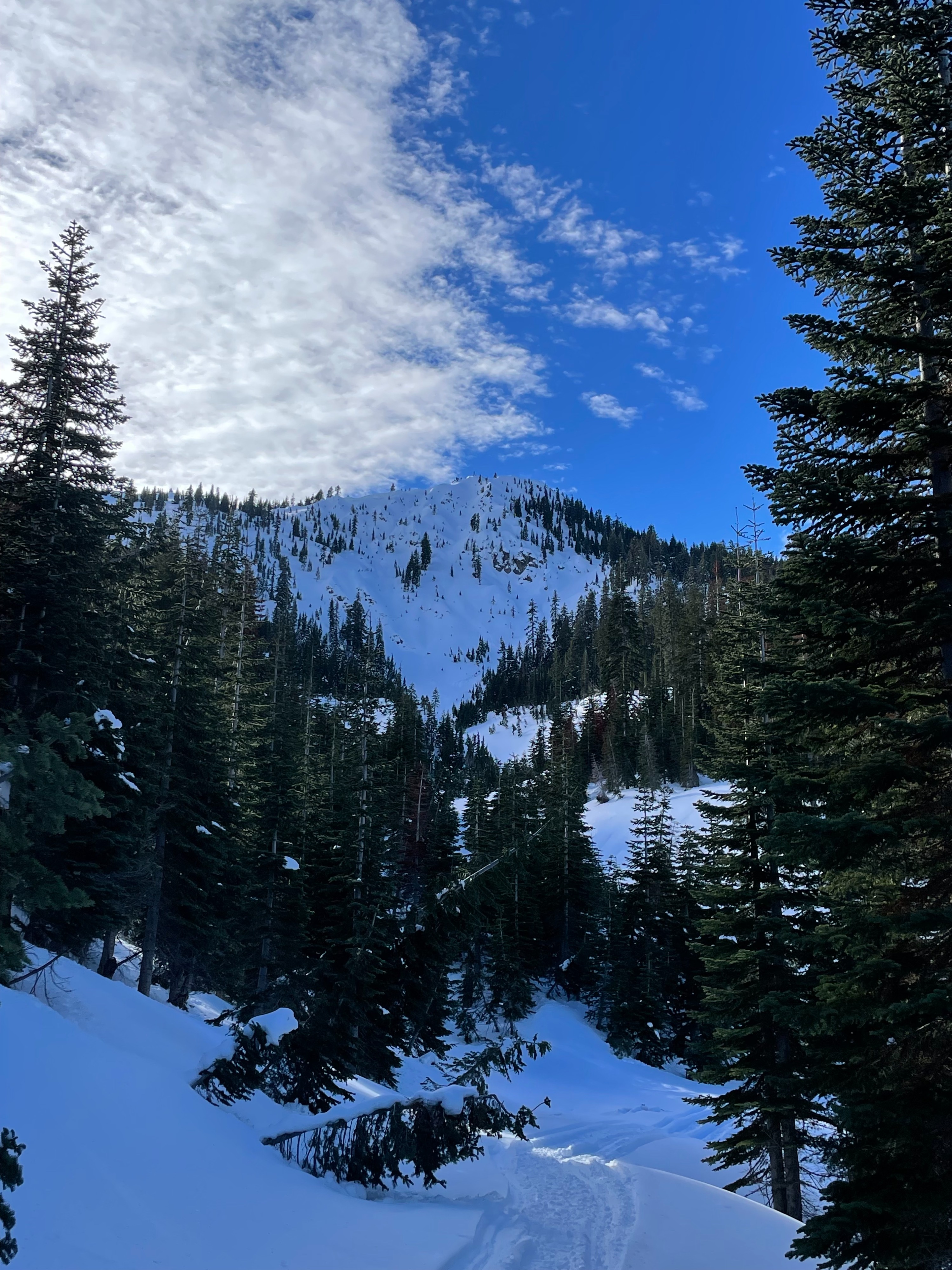
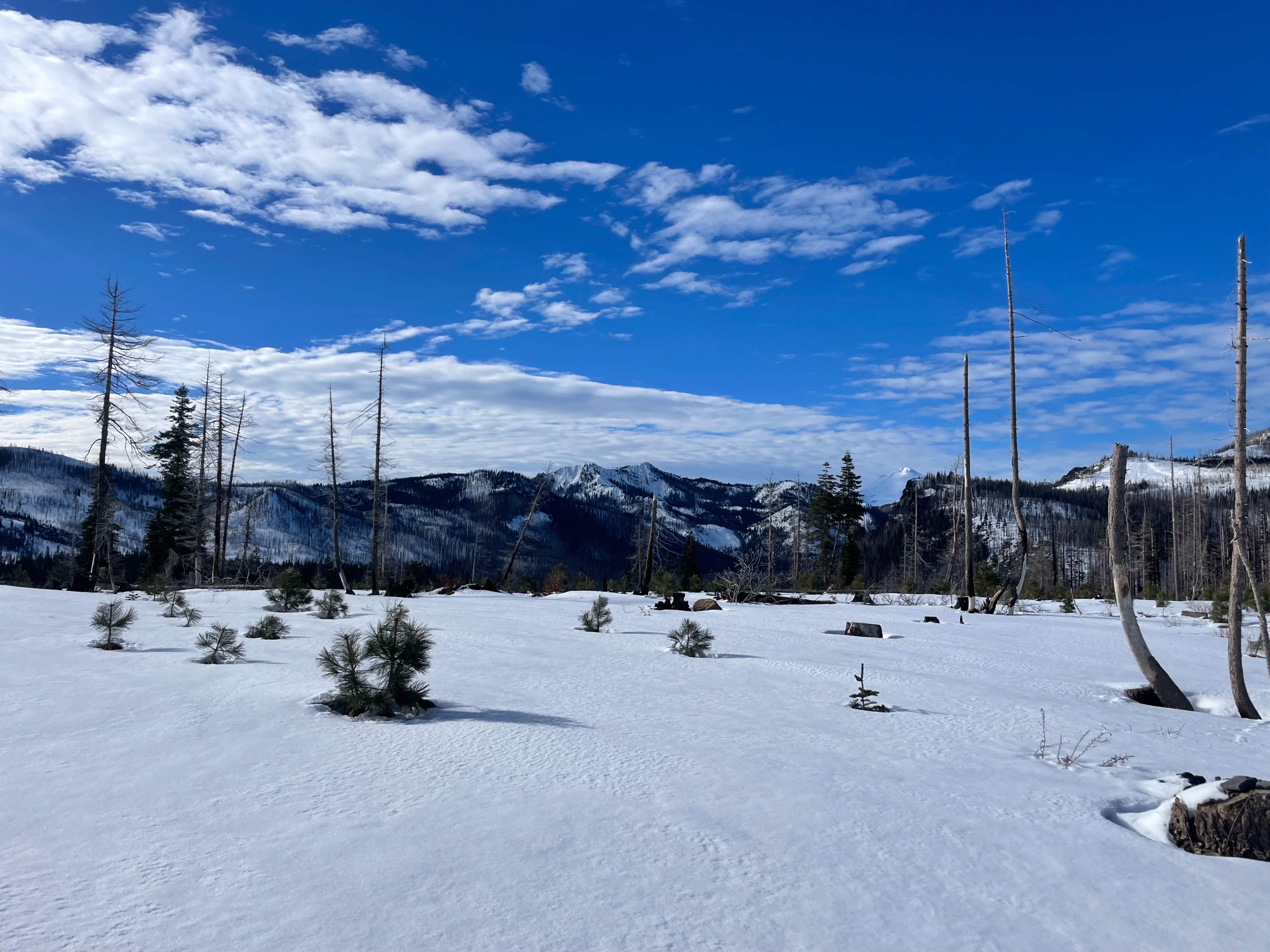
Forecasters found conditions consistent with the rest of the forecast area: a widespread surface crust, minor signs of warming instability, and over 200 cm snow depth at 6,600 feet.
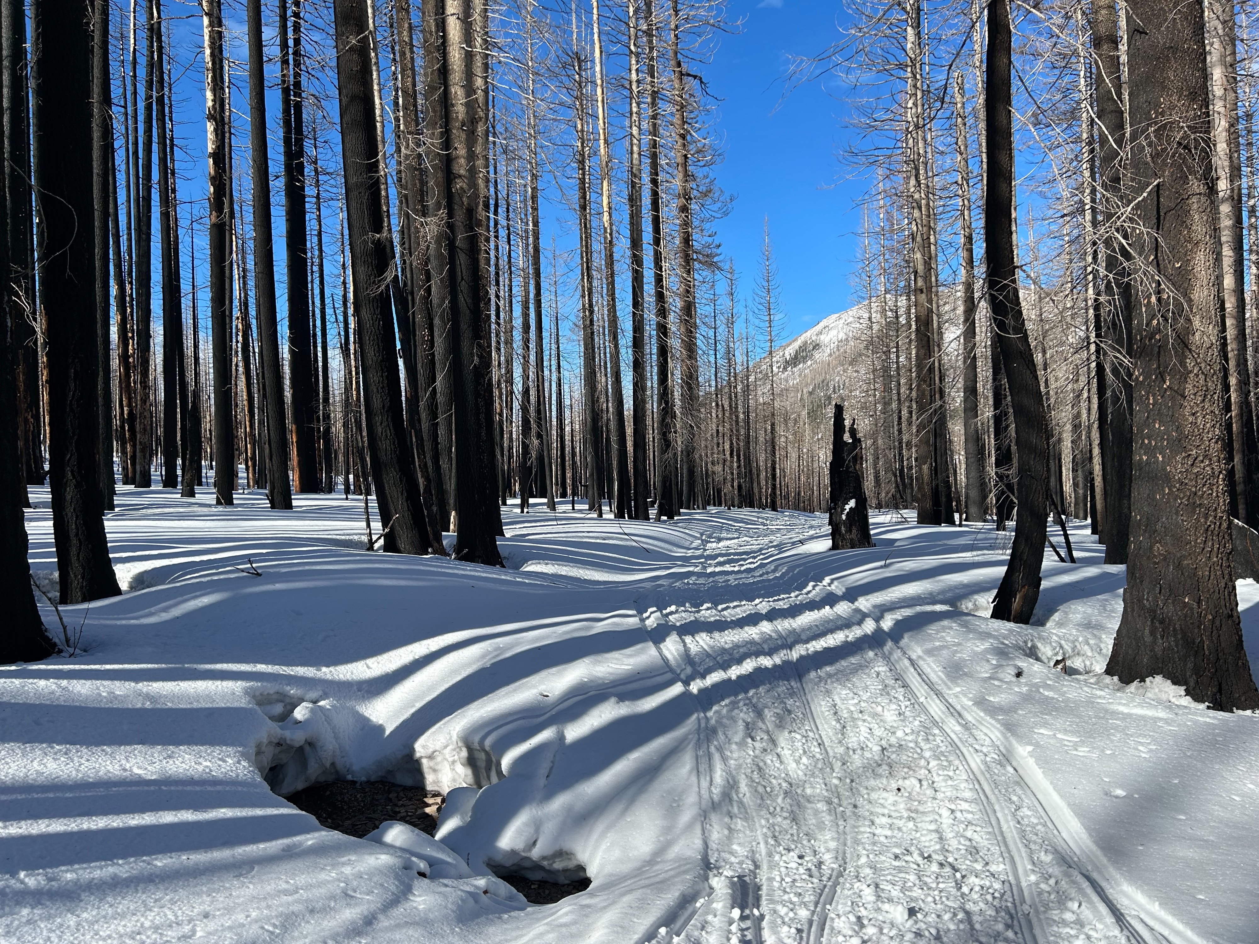
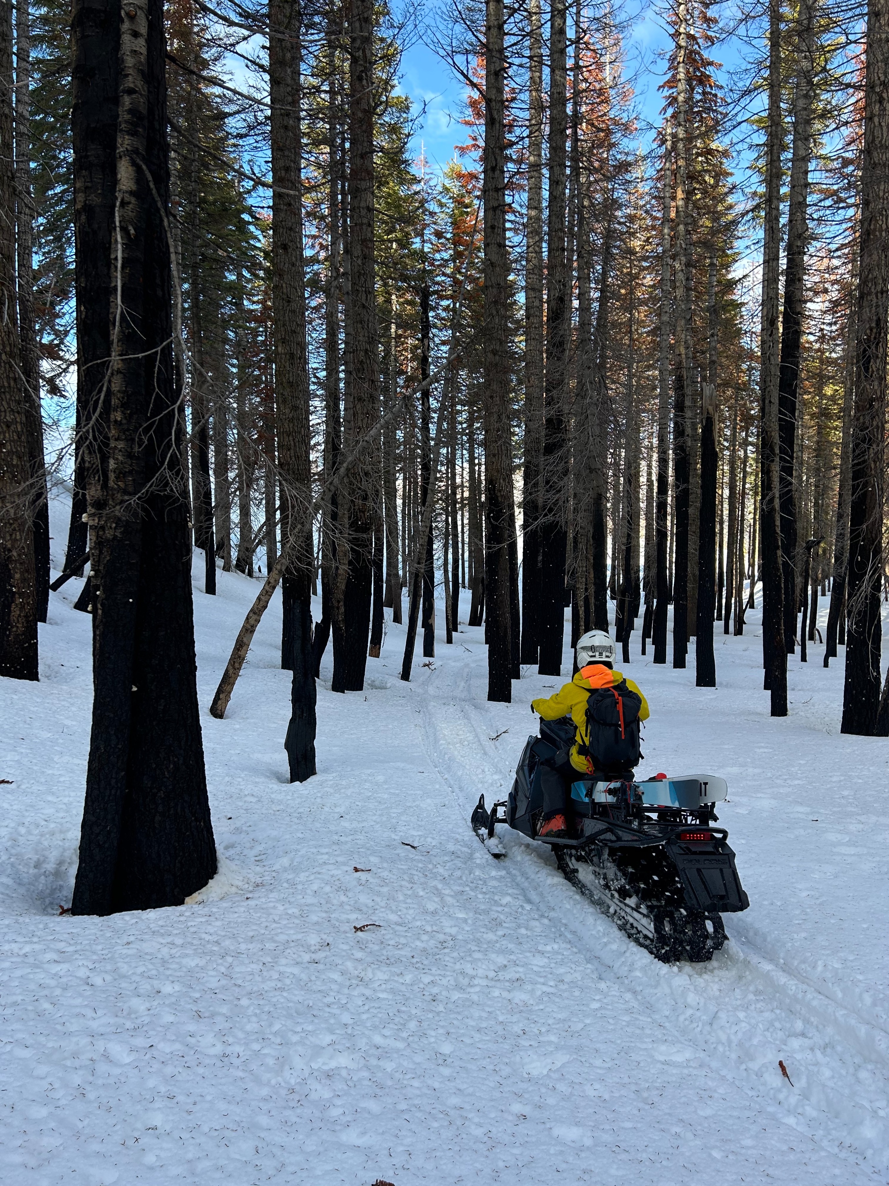
Travel to this area was pretty straightforward, with the easiest access being the 6 Road near Tennant. Snow coverage on the road is patchy for the first couple miles. Most stream crossings are fully covered.
Roller balls could be initiated easily with ski cuts, indicating wet instability in the surface snow. This instability was only observed on lower elevation (~6,000 feet) solar aspects. No other signs of instability were noted.Weather
- Air Temp
- 45
- Cloud Cover
- broken
- Wind Loading
- none
- Rain Elevation
- N/A
- Recent Snowfall
- 0
- Snow Avail For Transport
- none
Temperatures started out below freezing, climbing through the day, and reaching a max of ~45 degrees F. Upper level clouds covered the skies. Below treeline, wind was calm and unnoticeable. At ridge tops, a light northwesterly breeze could be felt.
Snowpack
Out at the easternmost portion of the forecast area, snow coverage is pretty consistent with Mount Shasta. At 6,100 feet, the snow depth was measured at 155 cm. At 6,600 feet, there is over 200 cm. A 1-2 cm solar crust has developed across all observed terrain, even the most shaded of areas. On sunny aspects, the solar crust broke down midday, only to refreeze in the late afternoon.