
Quick report
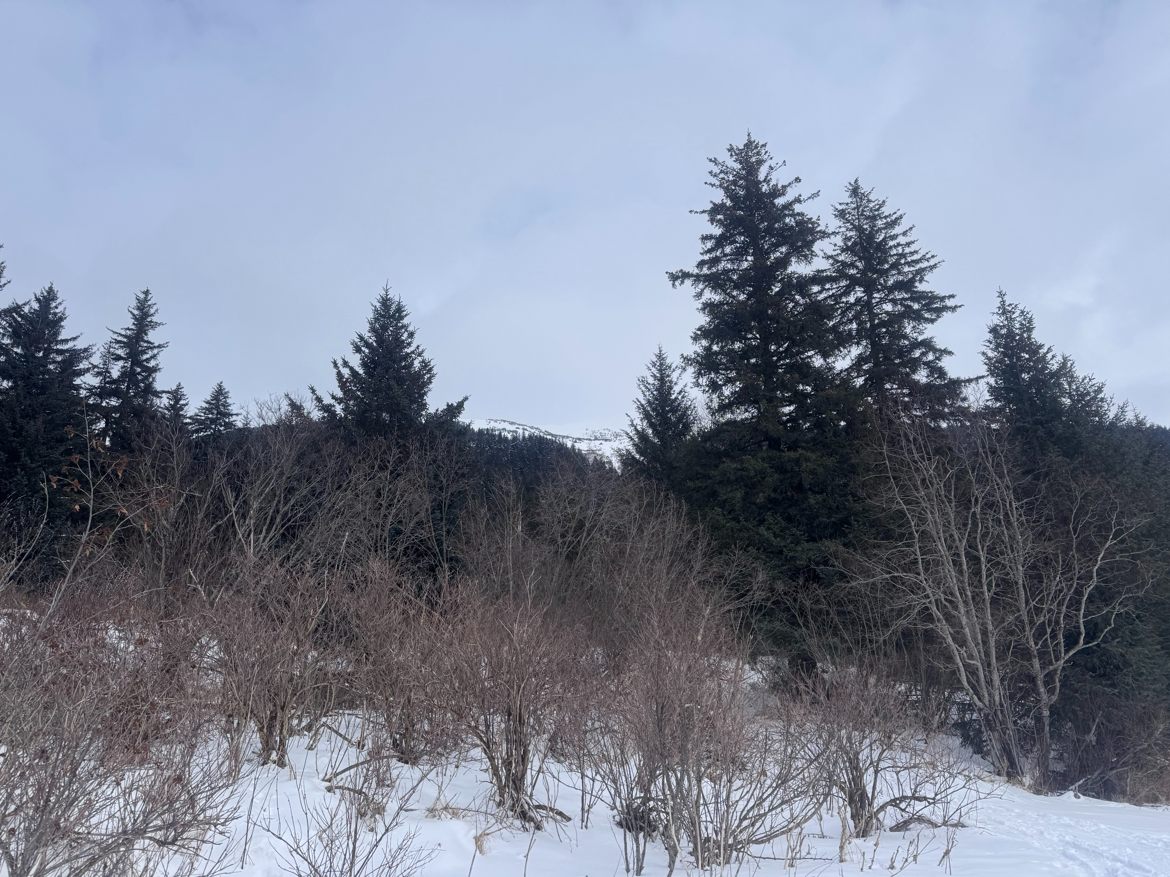
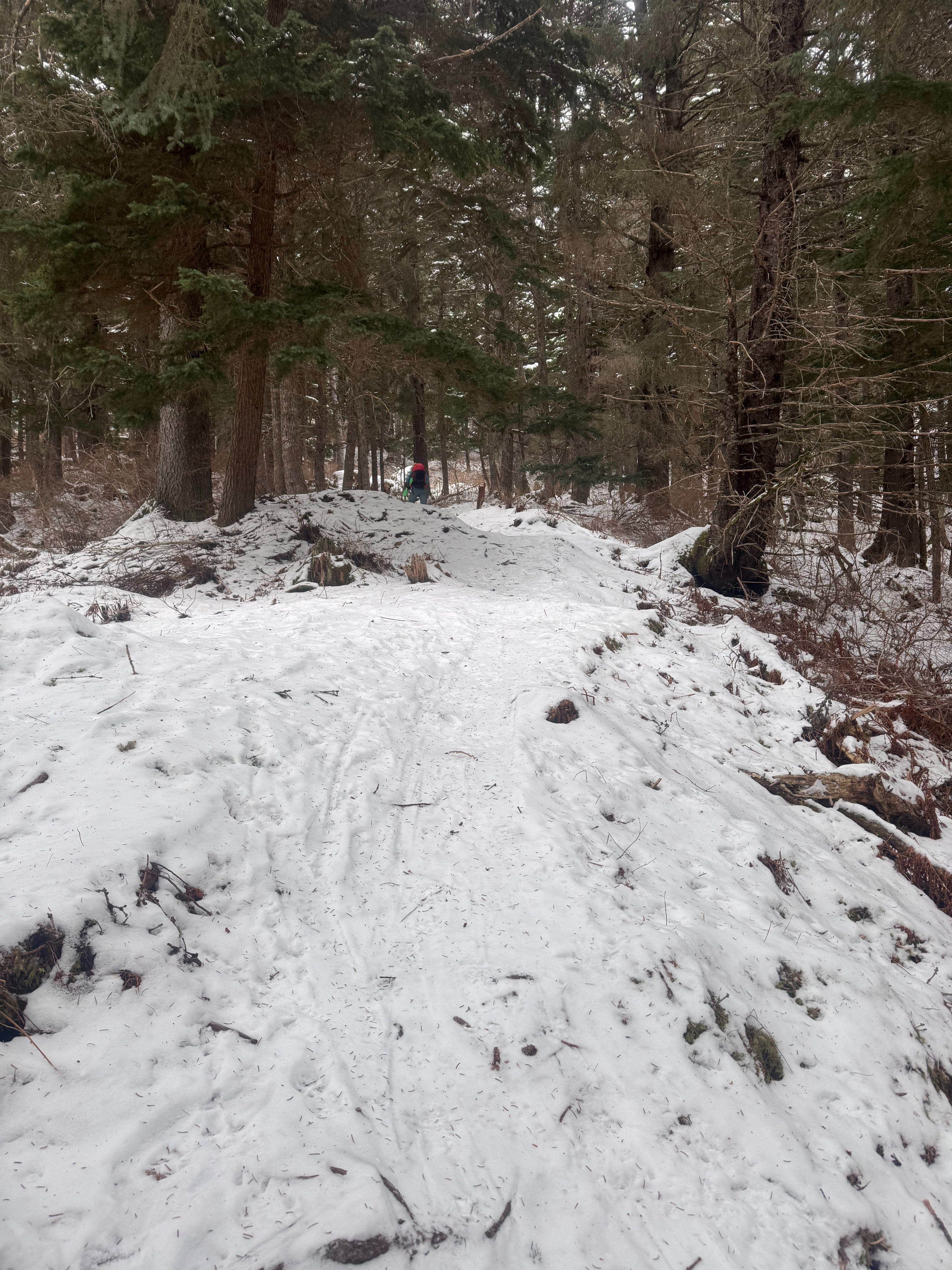
We toured/walked up to Orca via the Seward Highway approach. Snow levels from sea level up to about 1,100 feet ranged from nonexistent to a few inches over ice on the skin track. By 1,700 feet, trail conditions were much improved, and we continued up to the ridge at 2,700 feet with ease.
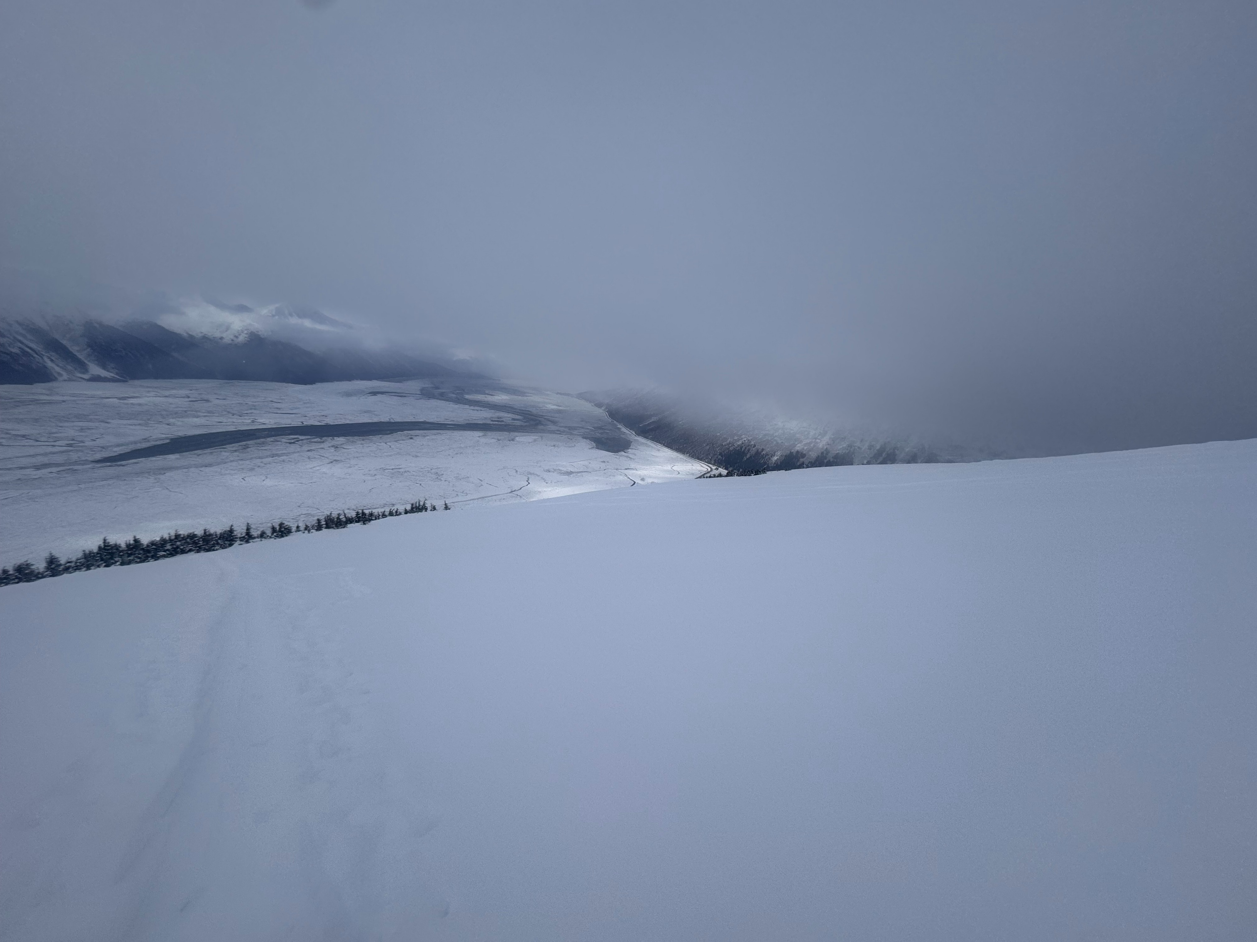
Unlike other areas in the Girdwood Valley, we observed much less surface hoar, and apart from the occasional sun crust, the snow was mostly soft and unaffected by wind. The sun crusts we observed were isolated to sporadic south-facing canopy openings at lower elevations. Wind affected snow was isolated to ridgelines.
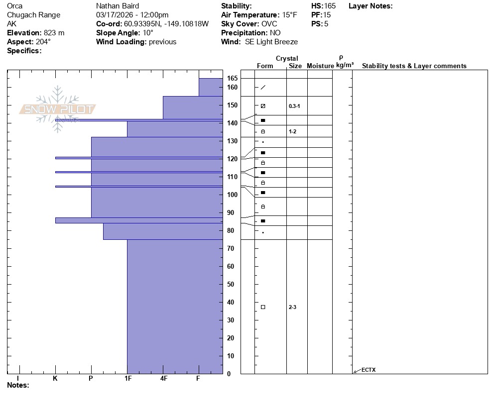
At an elevation of 2,700 feet, we dug a snowpit on a southwest aspect. Despite a multitude of crust/facet layers in the snowpack, we had stable (ECTX) pit results. For now, the weak layers appear to be locked up, but with springtime temperatures likely right around the corner things could change quickly.
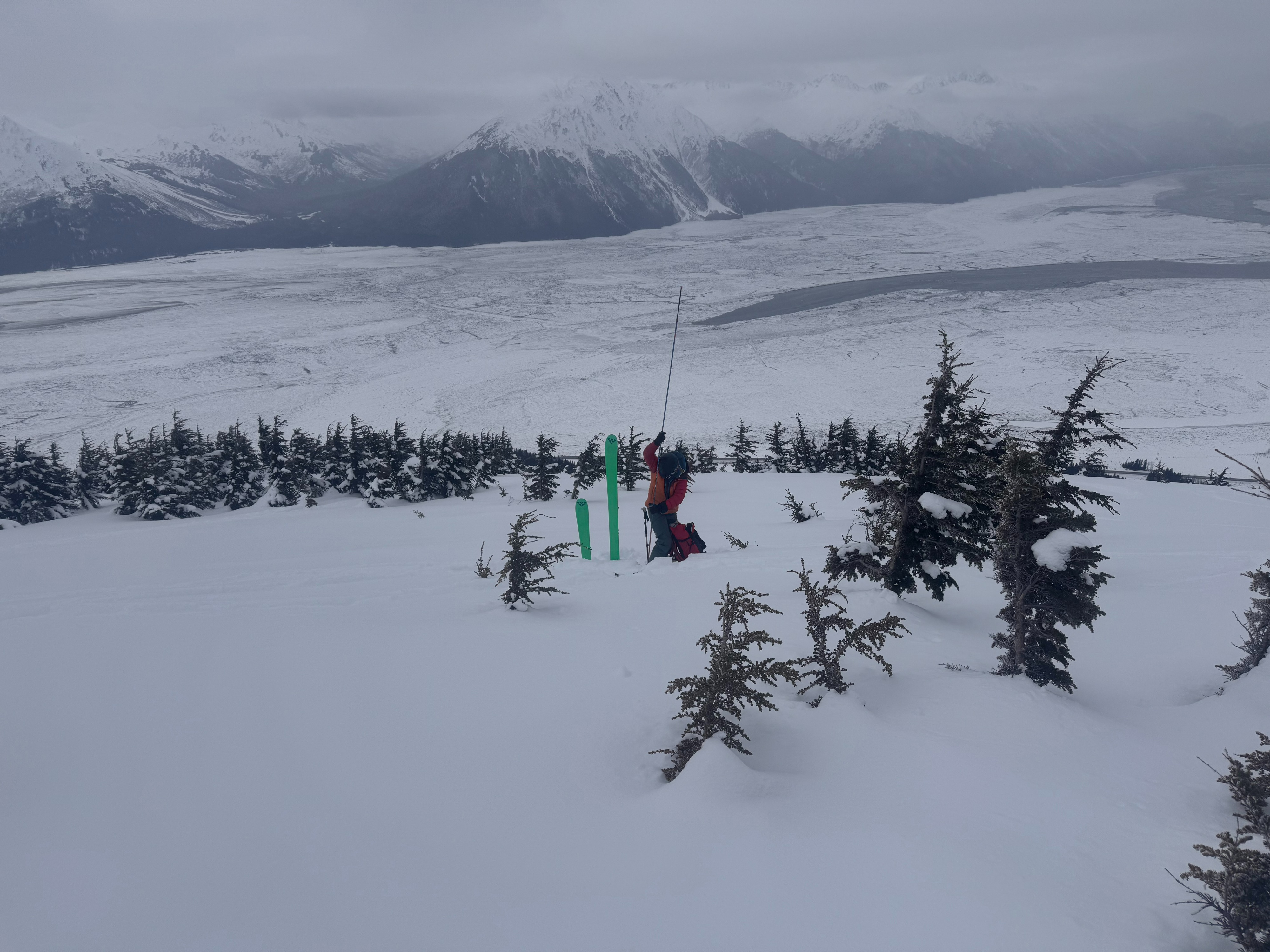
After digging the snowpit, we practiced our partner rescue skills and had a lovely lap in soft snow. We opted to bootpack out the bottom 1000' with the abundance of core shot and tib/fib potential down low.
Weather
- Air Temp
- 13°-20°
- Cloud Cover
- overcast
- Wind Loading
- light
- Rain Elevation
- not observed
- Recent Snowfall
- trace
- Snow Avail For Transport
- moderate amounts
We spent most of our day under overcast skies with occasional blips of light S-1 snowfall. Ridgetop winds were light, with max gusts of 9 mph out of the SSE at the nearby Top of Max's weather station.
Snowpack
Snowpit
HS: 165 cm
Elevation: 2,700 ft
Aspect: 204° (SW)
ECTX
At this location, the February 10 rain/melt freeze crust layer was approximately 50 cm down with rounding facets on both sides. From 75cm to ground we observed a relatively strong 1F layer of 1-2 mm facets.