
Quick report
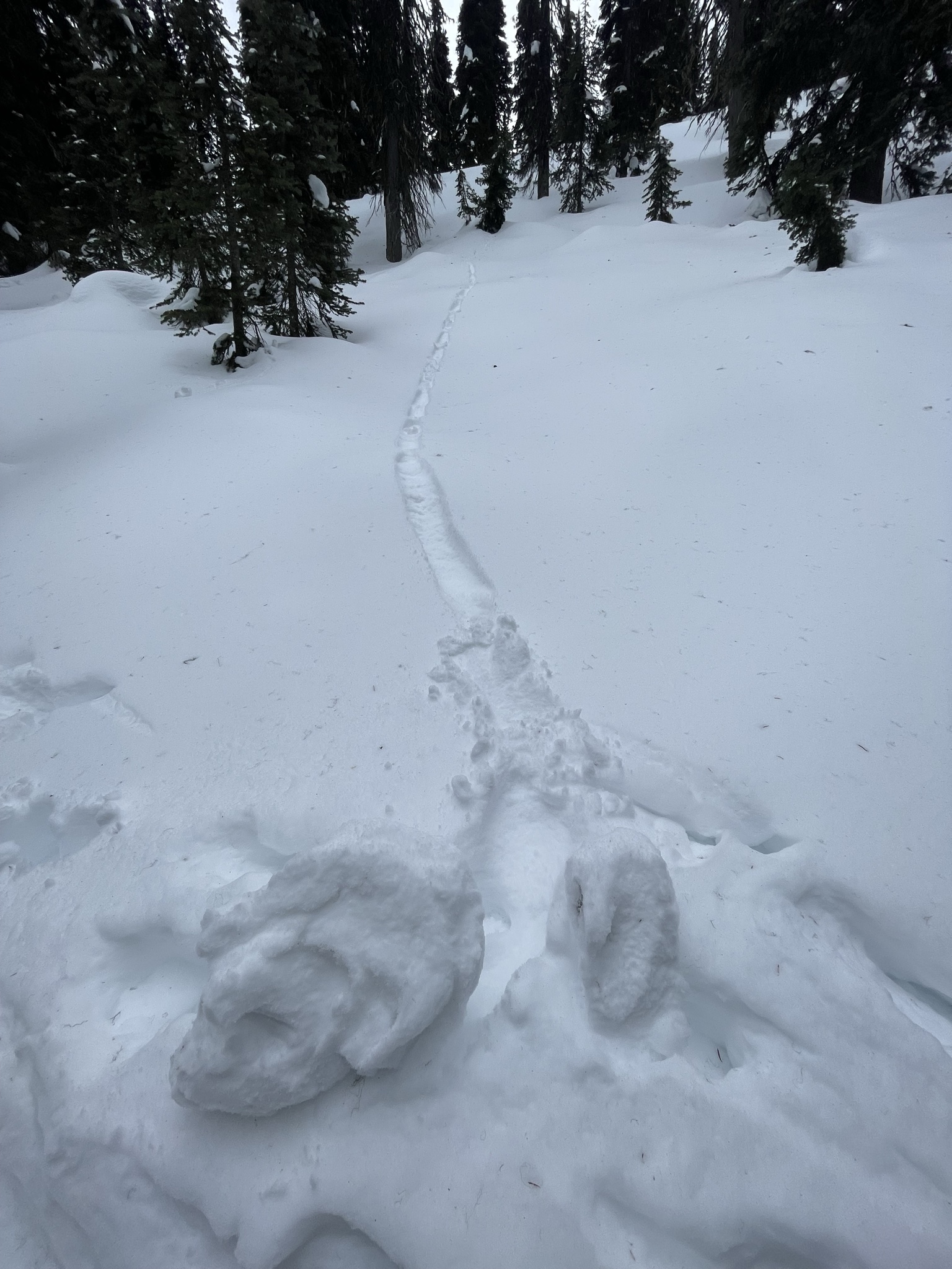
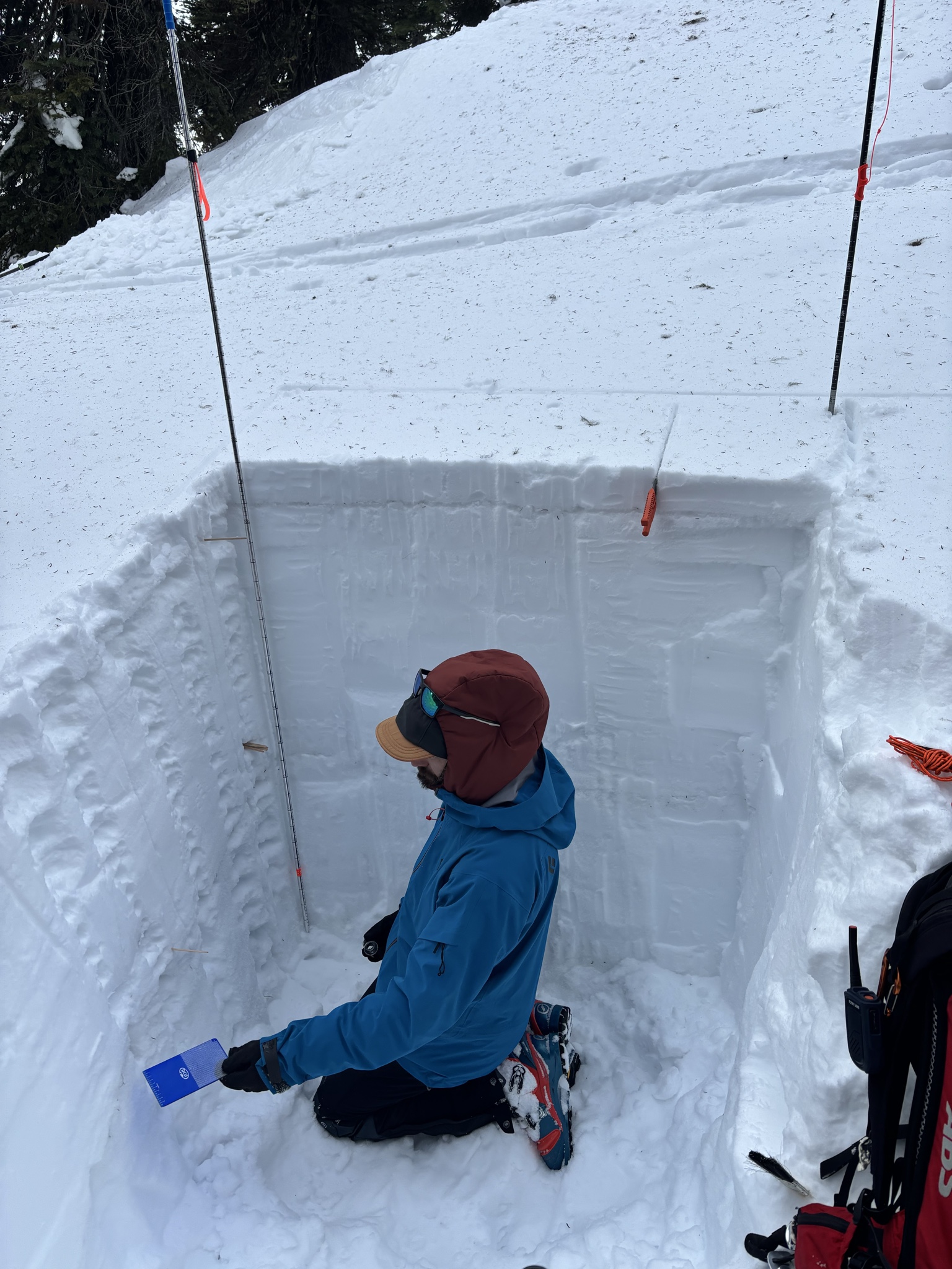
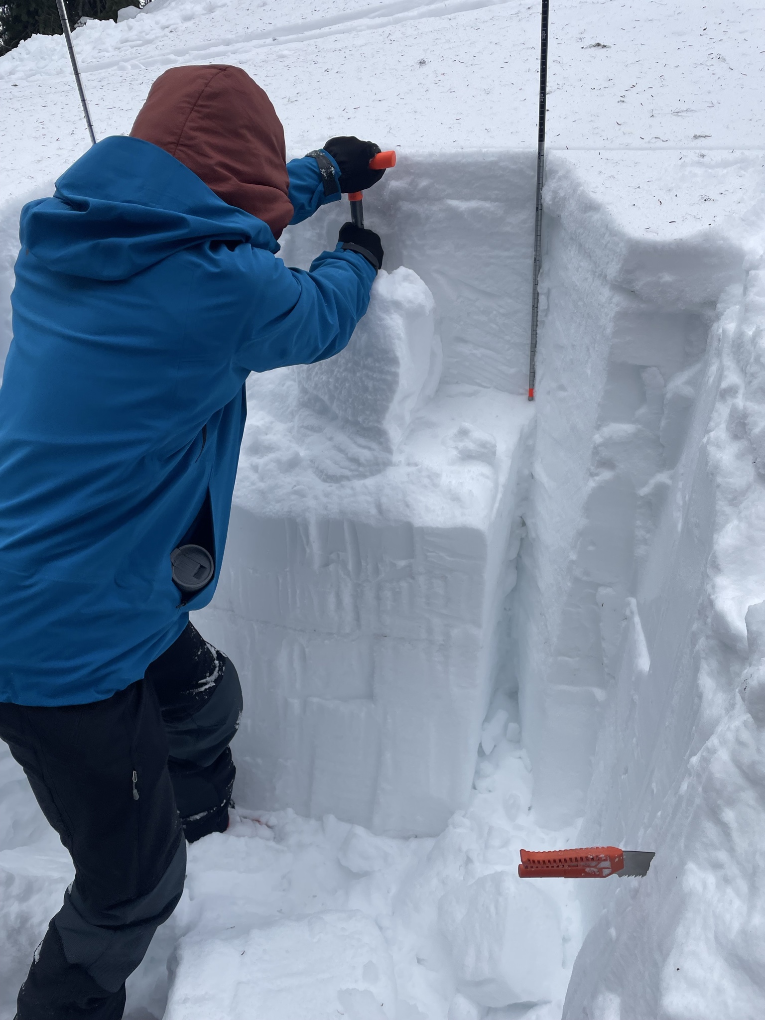
We saw no signs of cracking/whumpfing or other major instability throughout day. Surface snow started to become moist into the afternoon (around 1-2:00pm), but leveled out. As the snow warmed up into the afternoon, we did see some tree bombs and one roller ball (photo) that was more likely from snow falling from a tree or triggered by a skier. ECT test results showed ECTN 22 at 70m down, with no propagation. Pit was on a 20° slope, total snow depth was 205cm. We could see two faceted layers in pit (photo).
Weather
- Air Temp
- 35
- Cloud Cover
- broken
- Wind Loading
- light
- Recent Snowfall
- 0
Forecast showed 21mph sustained and 51mph gusts, which seemed accurate. Wind picked up more and cloud coverage increased towards the afternoon.