
Quick report
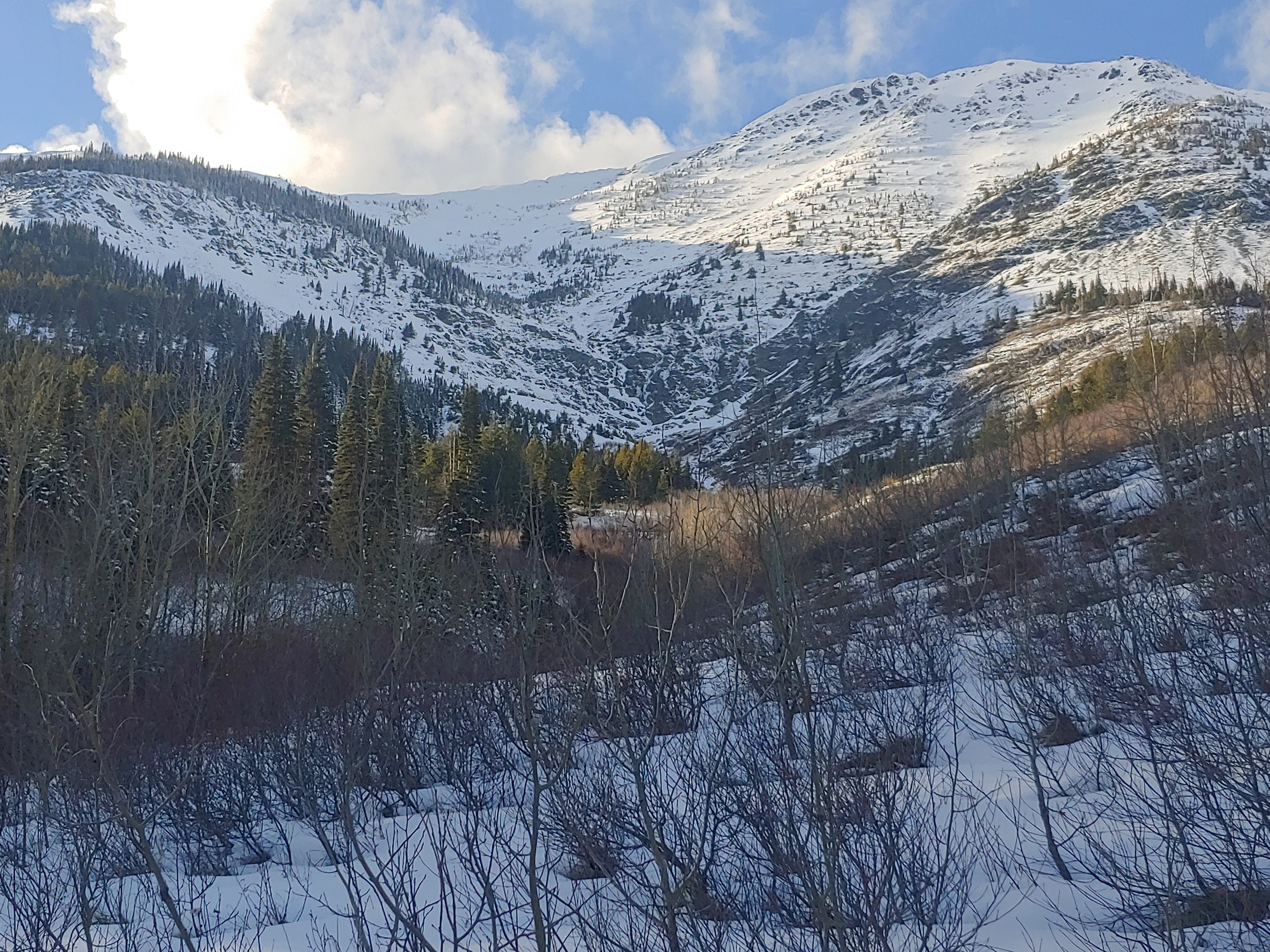
If you haven't heard yet... the snowpack across every mountainous area in our state is presently well "below normal" (NRCS 1991-2020 Median) . Here in the northwest corner of the state however, we should consider ourselves lucky in some respect; At 69%, the Flathead and Kootenai Basins have a higher percentage of normal SWE than any other watershed in Montana. Sadly, our neighboring mountains east of the divide are in last place of this winter's race for water. Combined, the Sun-Teton-Marias Basins are recording 42% of normal. Zoom into this grim picture even further and you'll notice that the Many Glacier SNOTEL is currently reading 16% of normal! Only 9 miles to west on the other side of the divide, the Flattop Mountain SNOTEL is at 70%. Anyone who has driven Highway 2 recently to the east side has noticed this abrupt change as you travel between Essex and East Glacier. I overheard on an NPR report this morning that the snowpack at Marias Pass is presently the lowest it has been in the last 90 years... I had not been east of Essex yet this winter, so I felt compelled to go see for myself. I took a short afternoon ski up the Autumn Creek West Trail to find out what a 90 year low looks like. The combination of warm afternoon sunshine and calm winds was initiating several small (D1) loose snow avalanches on upper elevation south facing slopes.
Weather
- Cloud Cover
- few
- Wind Loading
- none
- Recent Snowfall
- 10
- Snow Avail For Transport
- small smounts
Thick stratus hung over West Glacier this morning. While driving towards Marias Pass, the stratus began to break up east of Coal Creek/Crystal Creek. This was still true late in the afternoon when I returned back to the west side.
Snowpack
0-10cm HS at the trailhead (4600') with 5cm of recent snow since this weekend. Higher up Autumn Creek, areas sheltered from the sun and wind are holding up to 30cm with recent snow totals amounting to 7-10 cm.
Avalanche
- Size
- D1 R1
- Type
- WL
- Aspect
- S
- Trigger
- N
- Elevation
- 6500 ft
Loose snow avalanches triggered by the return of sunshine this afternoon.