
Quick report
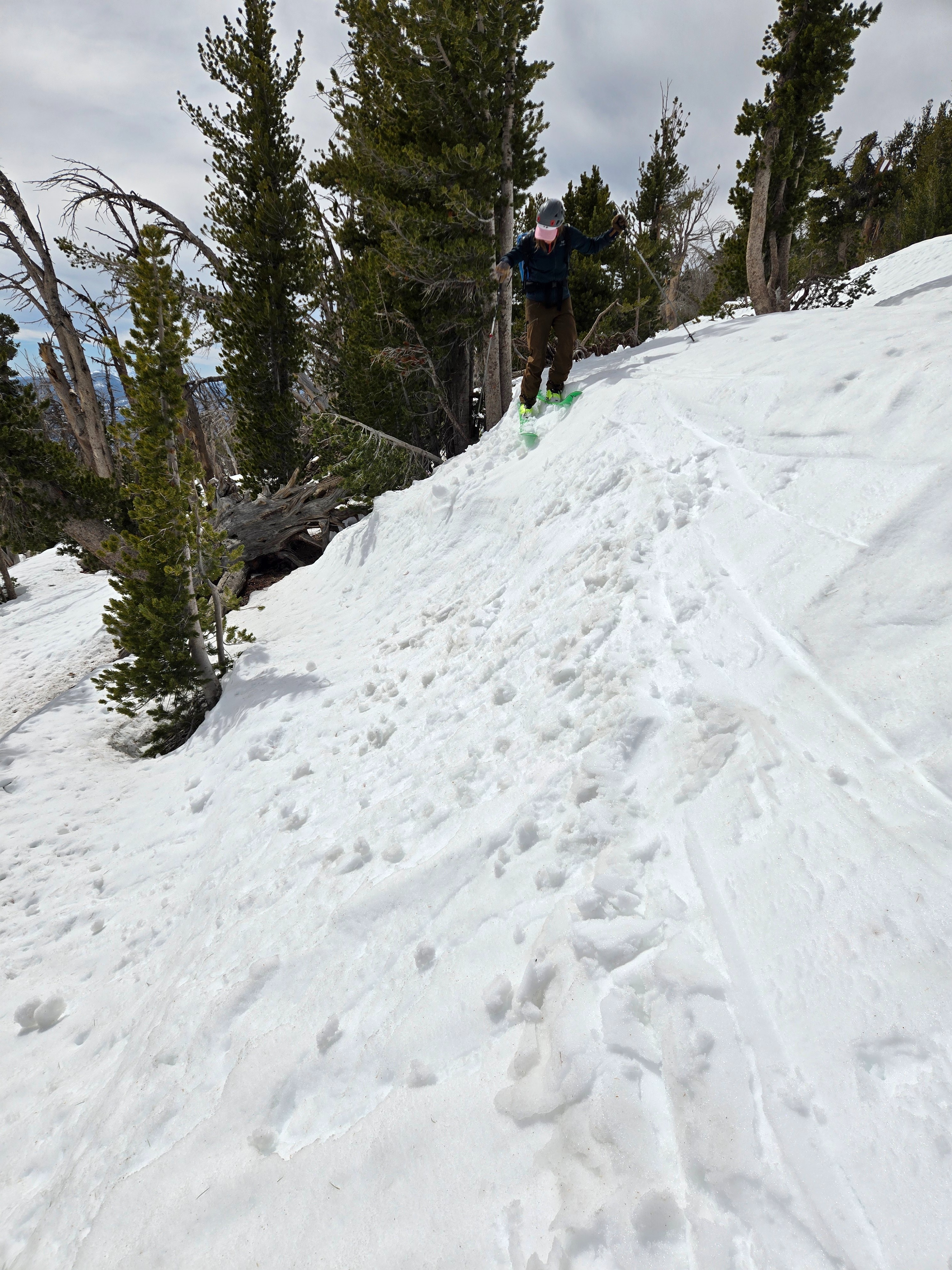
Small rollerballs on test slopes midday.
Weather
- Air Temp
- 55
- Cloud Cover
- broken
- Wind Loading
- none
- Rain Elevation
- NA
- Recent Snowfall
- 0
- Snow Avail For Transport
- none
Mostly cloudy and warm. Light to moderate southwest winds near and above treeline.
Snowpack
I dug to the ground on a northwest-facing, near treeline slope to see if there were any more weak layers to get wet. While the snowpack on most other aspects is getting shallow (HS = 0-165 cm across a south aspect on the other side of the ridge), on north aspects near treeline and above the pack was deep, hard, and wet. I did find the depth hoar that was buried on Christmas Eve, way down near the ground. It was very wet and had a crust on top so hard that I could barely push my shovel through it.
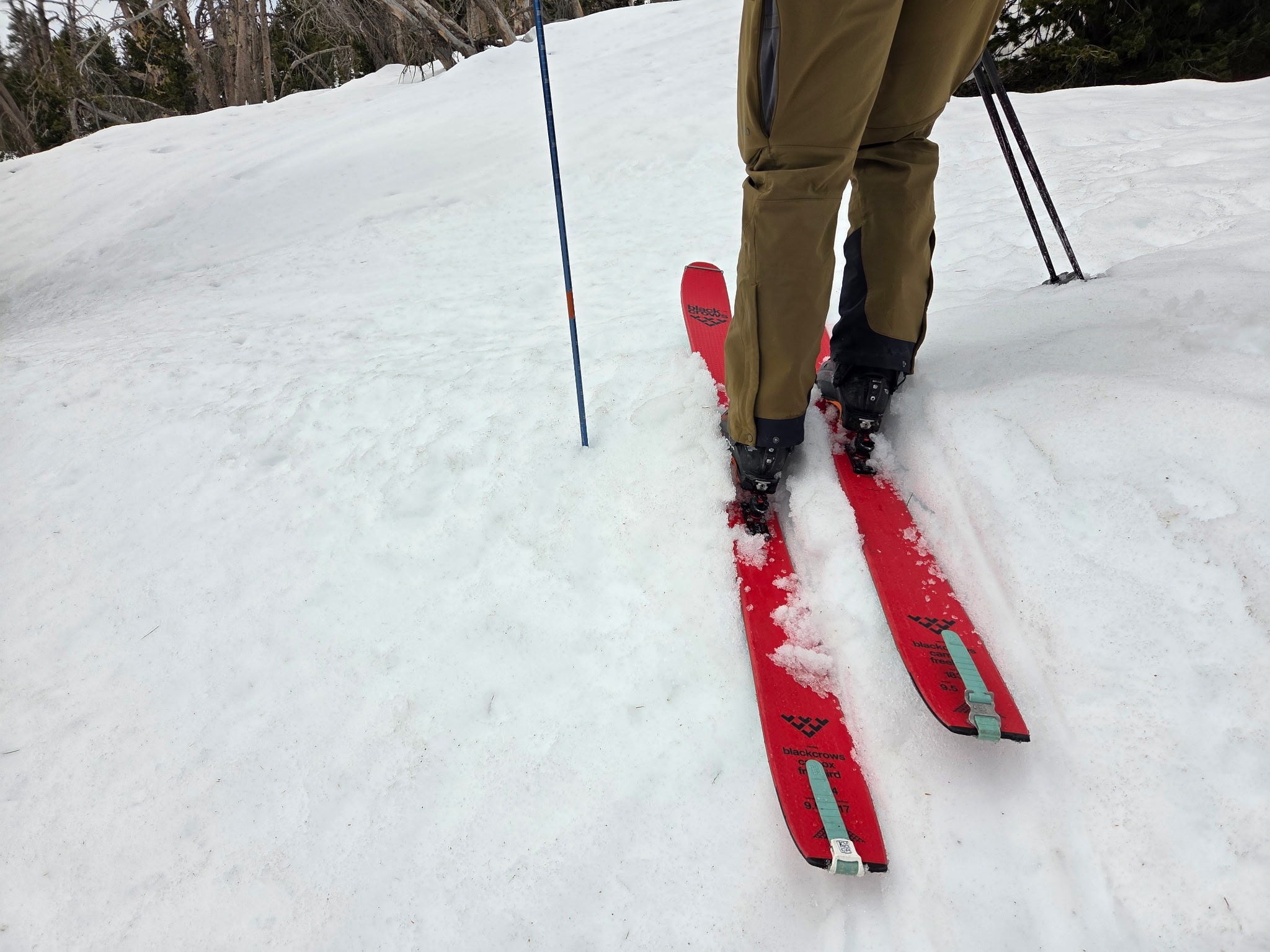
All aspects had wet surface snow that was mostly supportable. We found isolated areas, especially near radiators like trees, where we had boot-top ski penetration into wet snow.
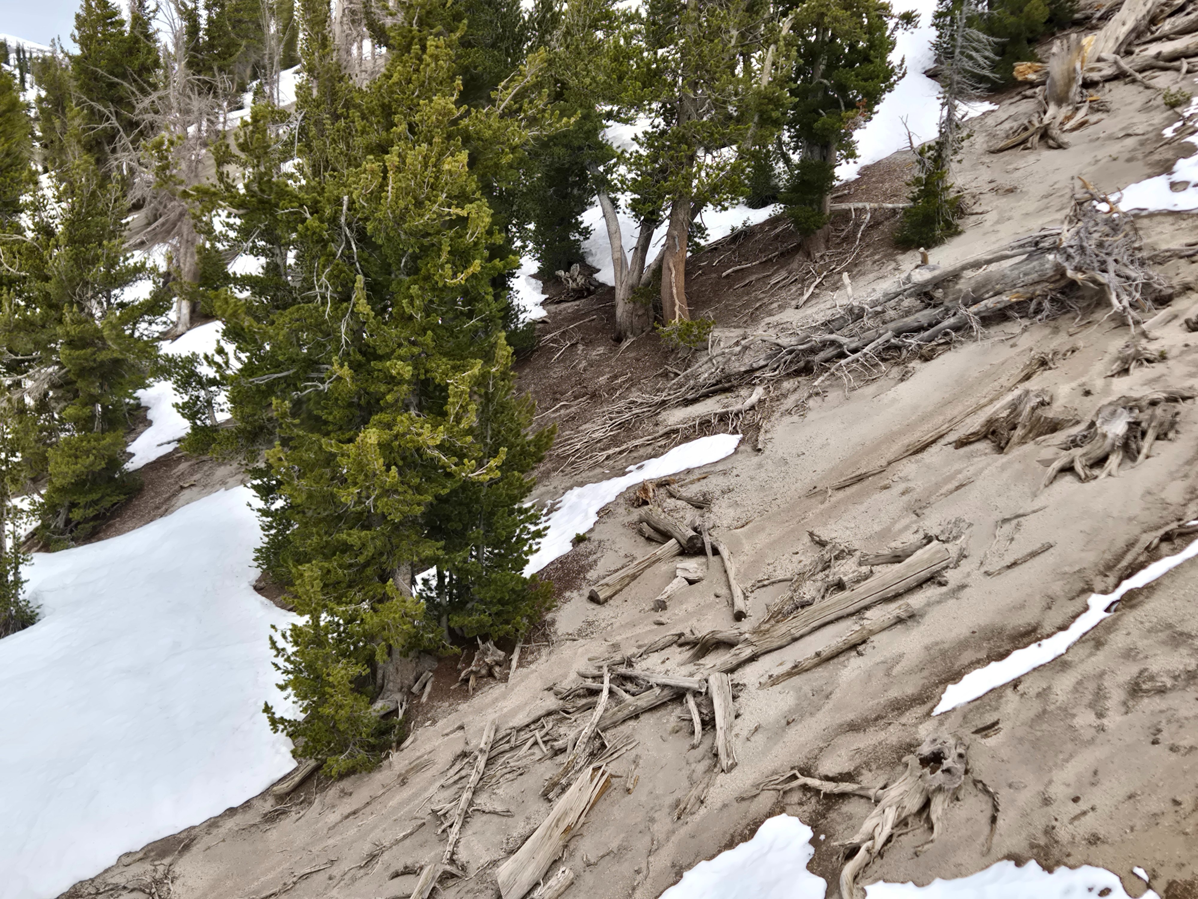
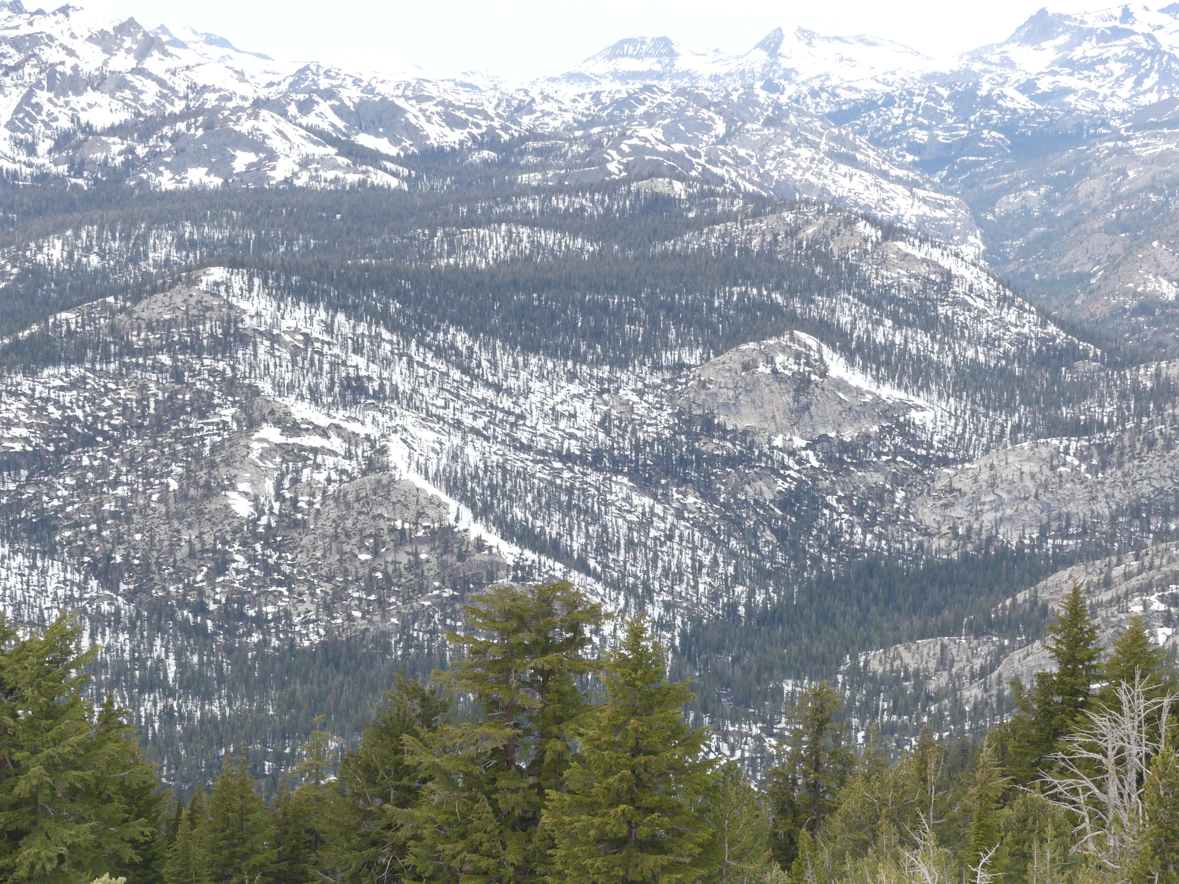
Mammoth is truly the exception when it comes to coverage below treeline. However, even in that area, things are melting out fast.
Avalanche
- Size
- D2
- Type
- U
- Count
- 2
- Aspect
- NE
- Trigger
- N
- Elevation
- 12000 ft
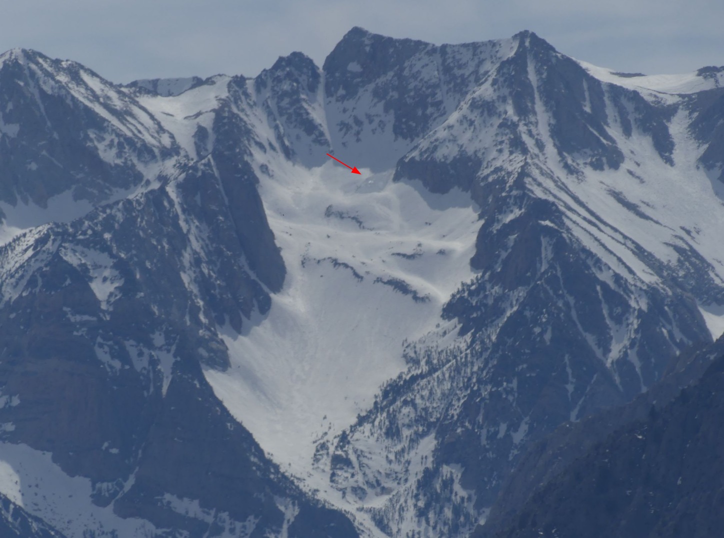
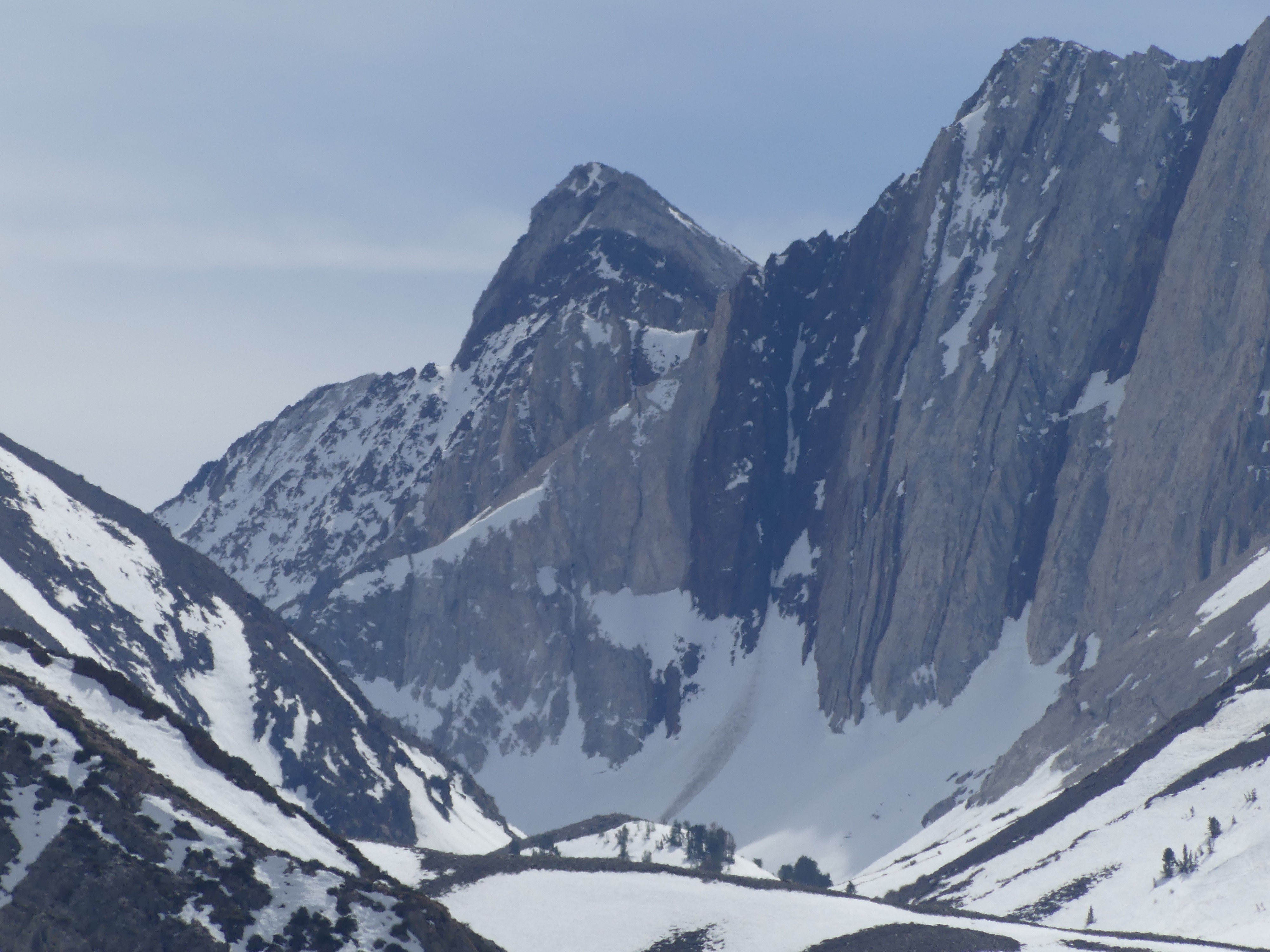
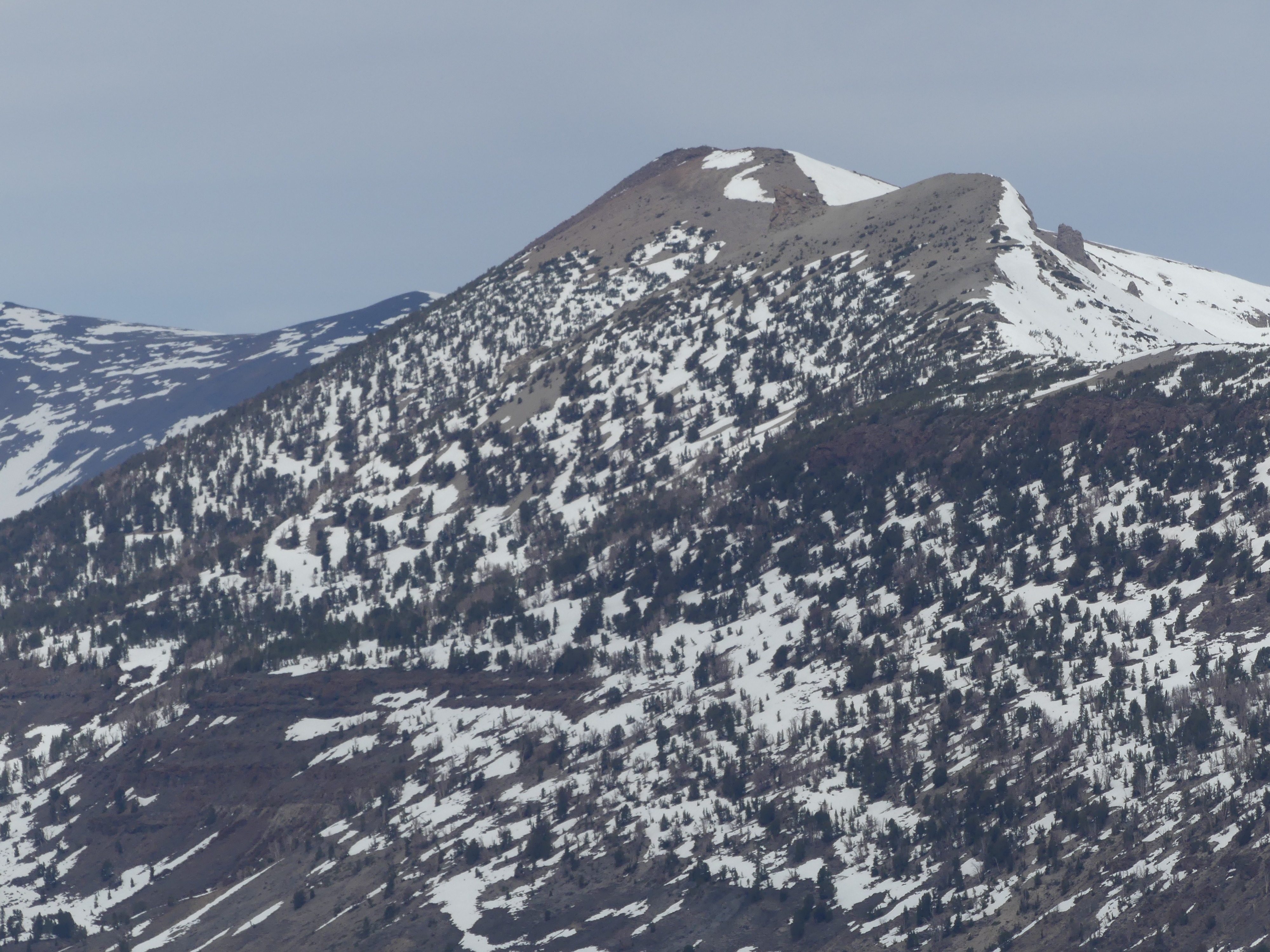
Debris pile from a new large avalanche near the top of the middle Tungstar Bowl in Pine Creek. 12,000 ft. Northeast. Above treeline.