
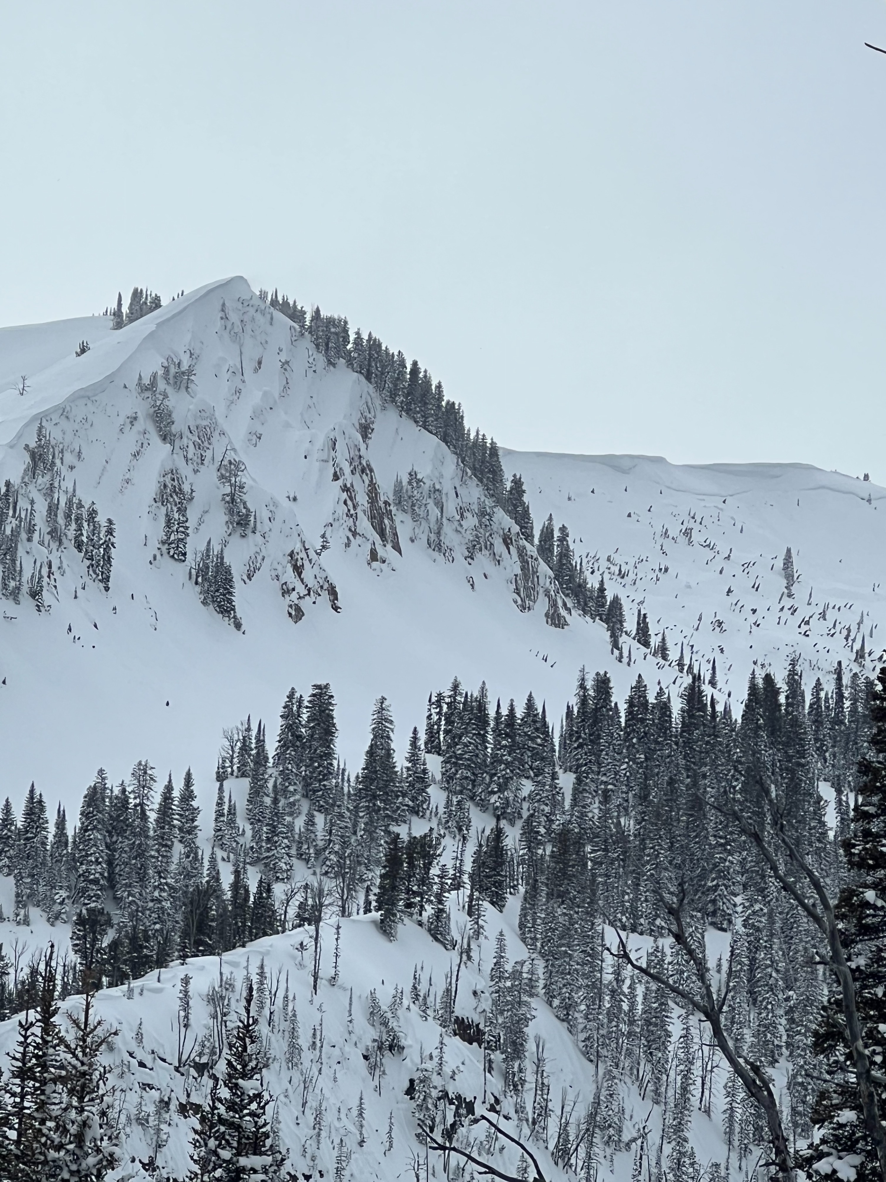
Quick report
Rode up Mosquito Creek to Mud Pass. Soft, settled snow from the last several days is beginning to show slight cohesiveness, especially in exposed areas. Overall, great riding. New snow ranges from 12 to 16 inches from 8000 to 9000 feet. On west through south through east aspects at middle elevations, the recent snow is sitting on a thin (1/2 inch) decomposing crust with noticeable facet formation below. We dug on an east aspect at 8900' and got an ECTN12 down 10 inches in the recent snow, and an ECTN22 just below the crust in facets (about 16" down).
While there was no propagation in this pit, the crust/facet layer will be something to track moving forward with the incoming storm. This storm is forecasted to bring over 2 inches of SWE and up to 3 feet of snow, a significant load that will stress the current snowpack. Expect the avalanche hazard to rise sharply through the weekend.
Weather
- Cloud Cover
- overcast
- Recent Snowfall
- 16" in the last few days above 8000 feet
Overcast, a few periods of s-1 snow. Wind loading observed at upper elevations on ridges.
Avalanche
- Size
- D2.5 R2
- Aspect
- NE
- Trigger
- N
- Elevation
- 9500 ft
Natural avalanche in wind-loaded terrain that possibly ran during the high wind event on 2/26-27.