
Quick report
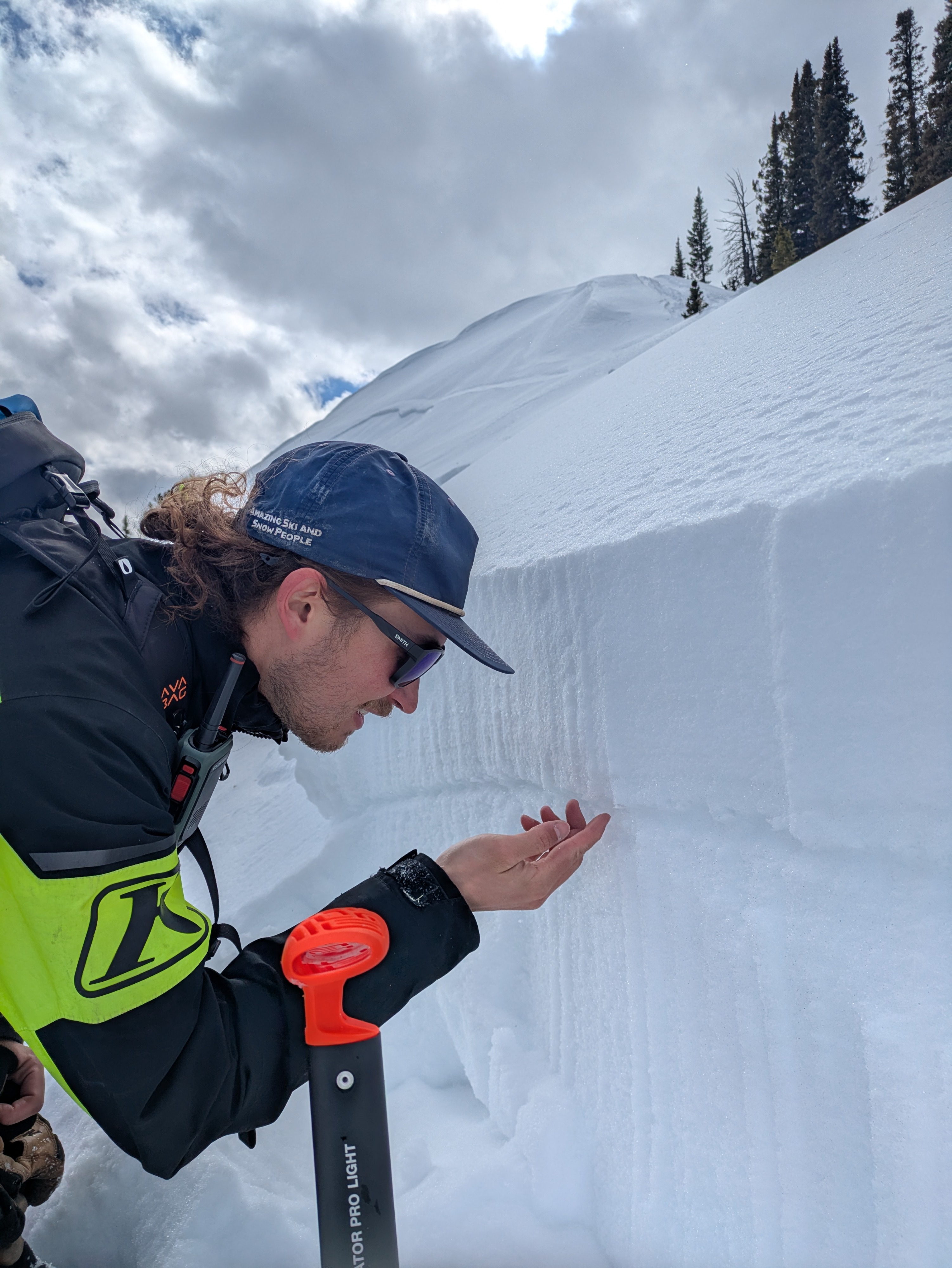
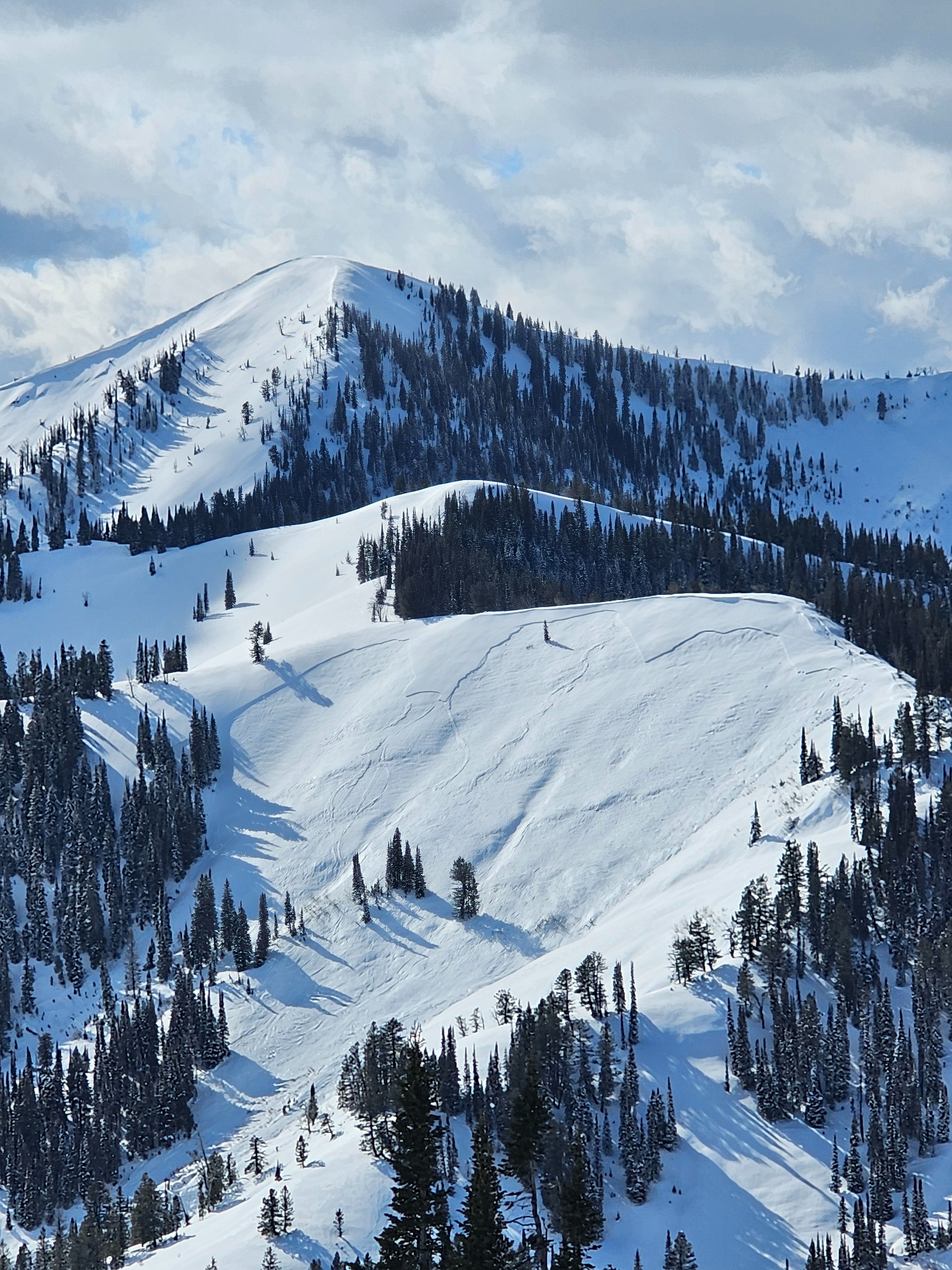
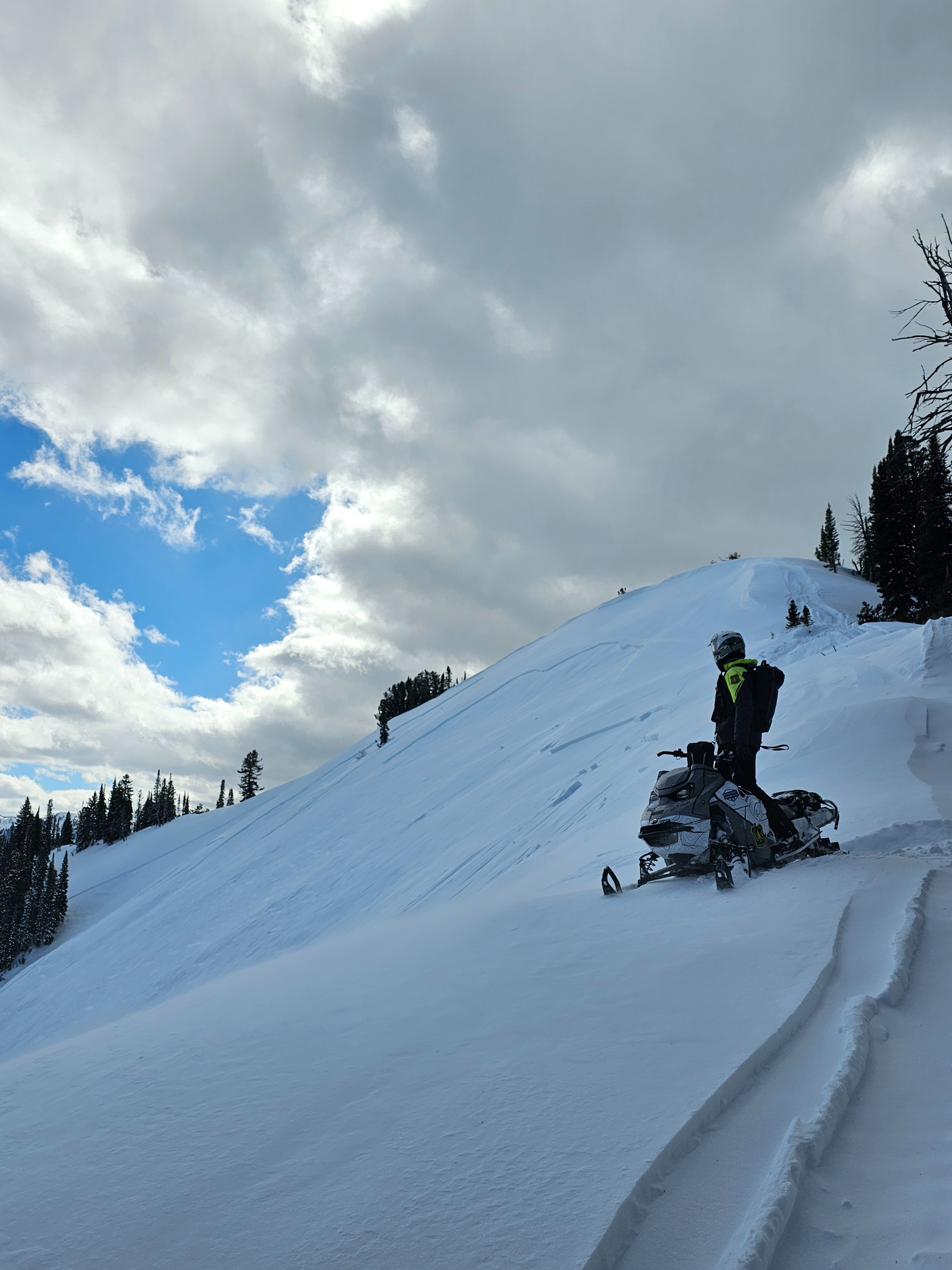
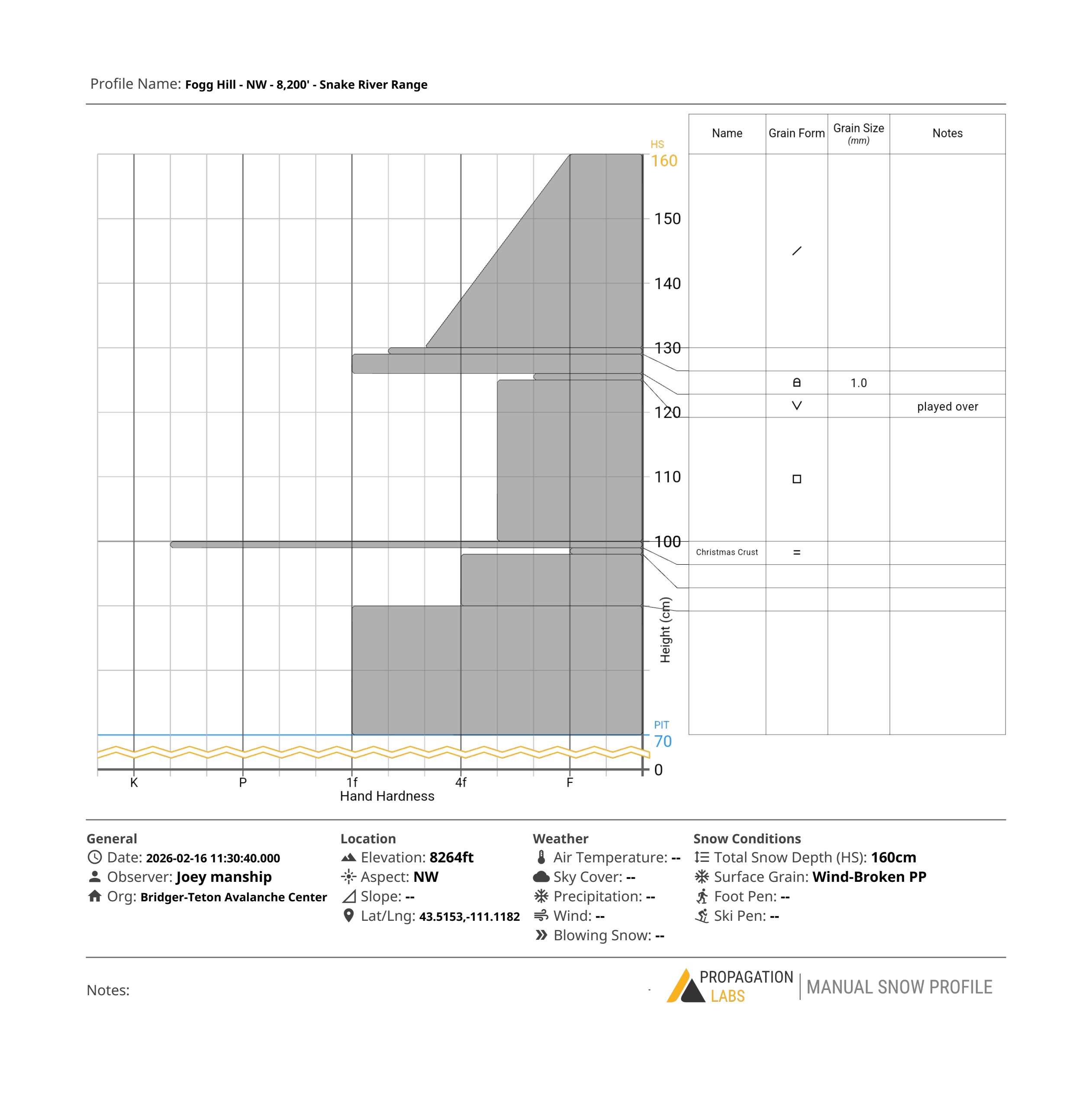
Snow surfaces remained cool today with a moderate ridgetop south/southwesterly wind and broken cloud cover. Wind was moving snow and building drifts from time to time. Pits and hand shears confirmed the presence of buried surface hoar and the thick layer of faceted, small (~1mm) grains from the Jan drought layer. The layer of 3-5cm buried surface hoar in the crown of the avalanche we looked at remains the most disconcerting layer in the snowpack. The observation from the Options today was a reminder that these layers are still active. New snow and wind loading the buried surface hoar and the facets below is likely to create some widely breaking avalanches that will be deeper than the past cycle. Most of those were D1 to 1.5 and some 2s but we are likely to see larger and more dangerous if perhaps less touchy avalanches. The other concerning factor is the lack of evidence....cracking and collapsing were pretty rare during the last cycle.
If the forecast verifies tomorrow and we get 5-10 inches and 12-16" up high with the forecast winds, we'll be seeing some natural avalanches in the afternoon.
Good visibility and decent riding conditions other than a some icy bare spots 2 miles up Pole Canyon.
Weather
- Air Temp
- high 20's
- Cloud Cover
- scattered
- Wind Loading
- light
- Snow Avail For Transport
- moderate amounts